West Chiltington

Settlement in Sussex Horsham

England

West Chiltington

Gateway with a view Looking westwards from the West Sussex Literary Trail.
Gateway with a view Credit: Chris Thomas-Atkin

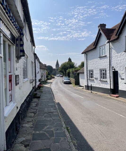
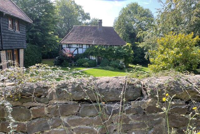
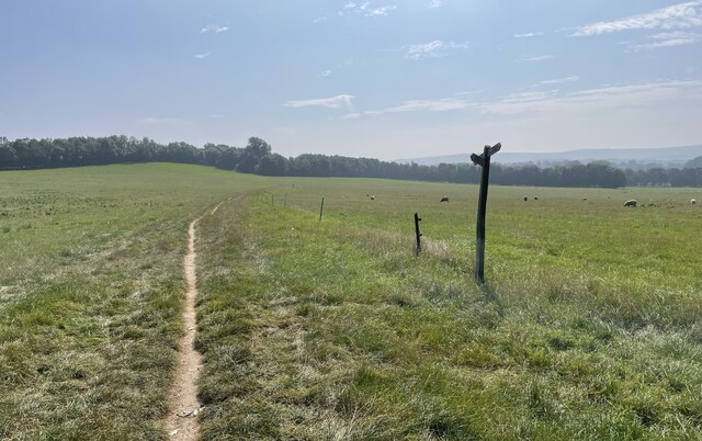
West Chiltington is a picturesque village located in the district of Horsham, in the county of West Sussex, England. Situated approximately 50 miles south of London, this charming village is nestled within the South Downs National Park, surrounded by rolling hills, lush countryside, and scenic landscapes.

With a population of around 3,000 residents, West Chiltington has managed to maintain its rural charm while offering modern amenities. The village is well-served by a range of local facilities, including a primary school, a village hall, a post office, and a local shop. There is also a village church, St. Mary's, that dates back to the 13th century and serves as a focal point for the community.

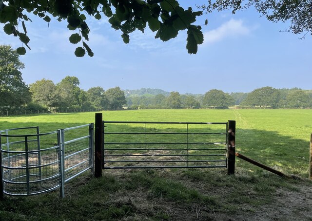
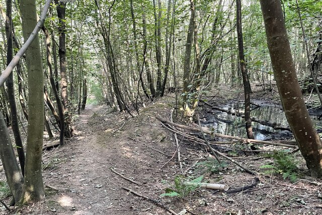
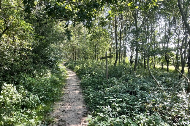
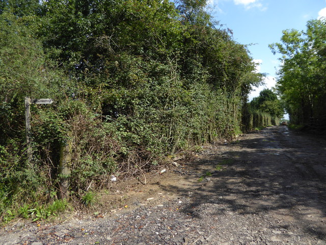
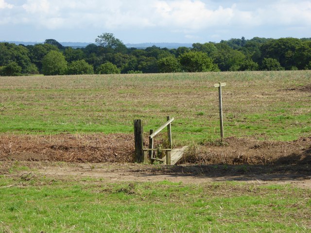
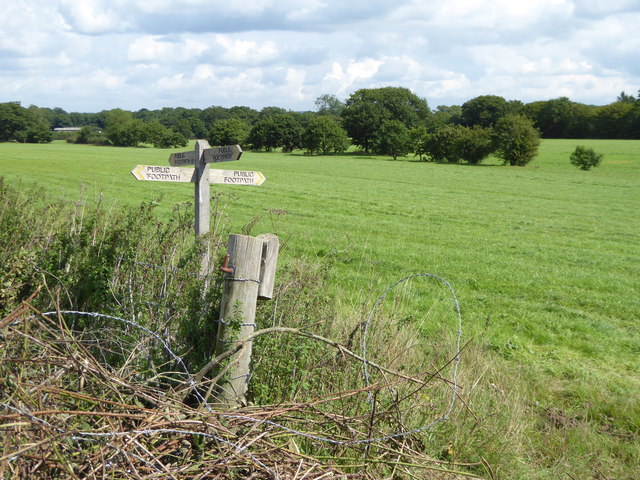
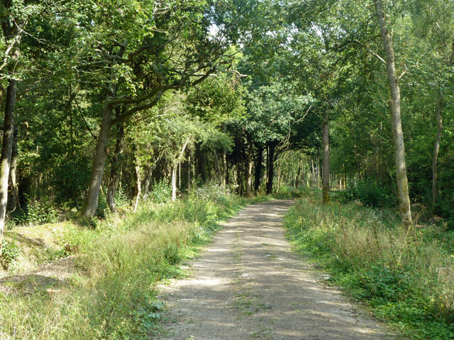
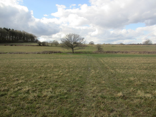
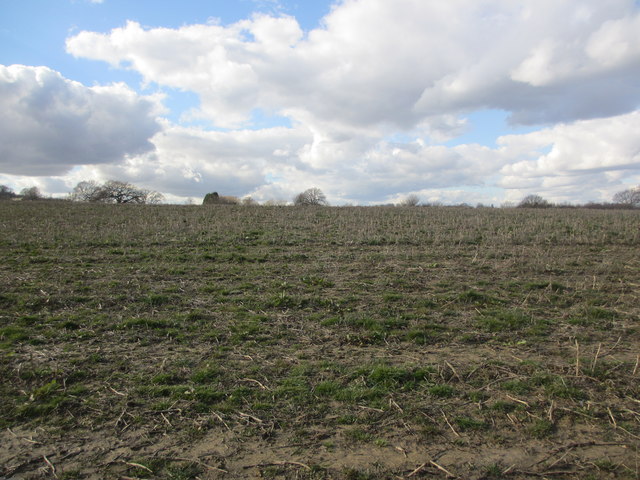
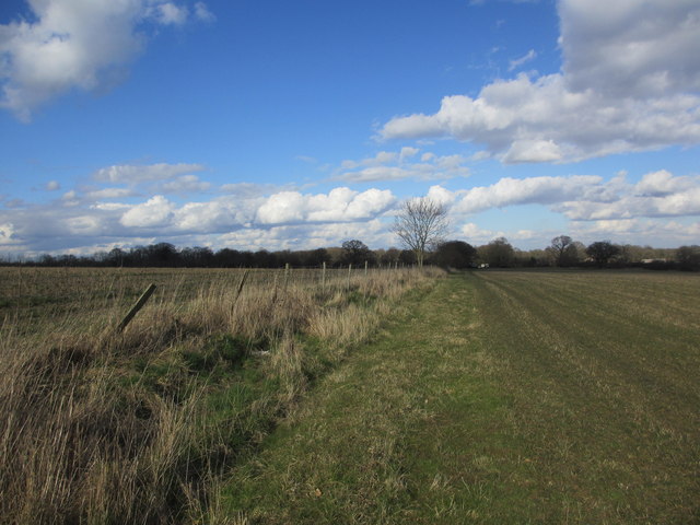
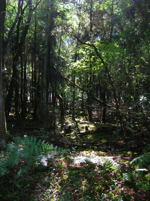
The area is renowned for its natural beauty, making it an ideal location for outdoor enthusiasts. West Chiltington offers numerous walking and cycling routes, allowing visitors and residents to explore the stunning countryside at their leisure. The nearby South Downs Way, a long-distance footpath, offers breathtaking views of the surrounding area.

For those seeking cultural activities, the village hosts various community events throughout the year, including fairs, festivals, and art exhibitions. Additionally, the nearby town of Horsham provides further amenities, including shopping centers, restaurants, and a theater.

Overall, West Chiltington offers a peaceful and idyllic setting, making it a desirable place to live or visit for those seeking a tranquil escape from city life.

If you have any feedback on the listing, please let us know in the comments section below.

West Chiltington Images

Images are sourced within 2km of 50.955525/-0.44892777 or Grid Reference TQ0918. Thanks to Geograph Open Source API. All images are credited.

Gateway with a view Looking westwards from the West Sussex Literary Trail.
Gateway with a view
Looking westwards from the West Sussex Literary Trail.
West Sussex Literary Trail Passing through unnamed woodland near Woods Hill.
West Sussex Literary Trail
Passing through unnamed woodland near Woods Hill.
Nyetimber Vines Vines beside the West Sussex Literary Trail at Nyetimber Vineyard.
Nyetimber Vines
Vines beside the West Sussex Literary Trail at Nyetimber Vineyard.
Vines as far as you can see The extensive vines at Nyetimber Vineyard with the distant backdrop of the South Downs.
Vines as far as you can see
The extensive vines at Nyetimber Vineyard with the distant backdrop of the South Downs.
West Chiltington Looking south towards the Parish Church of St Mary.
West Chiltington
Looking south towards the Parish Church of St Mary.
Naldretts Farmhouse The farmhouse viewed from roadside. It is a Grade II listed building. See <span class="nowrap"><a title="https://historicengland.org.uk/listing/the-list/list-entry/1027174" rel="nofollow ugc noopener" href="https://historicengland.org.uk/listing/the-list/list-entry/1027174">Link</a><img style="margin-left:2px;" alt="External link" title="External link - shift click to open in new window" src="https://s1.geograph.org.uk/img/external.png" width="10" height="10"/></span>
Naldretts Farmhouse
The farmhouse viewed from roadside. It is a Grade II listed building. See LinkExternal link
Path Junction On bridleway number 2404 heading towards Thakeham with footpath number 2403 joining from the left.
Path Junction
On bridleway number 2404 heading towards Thakeham with footpath number 2403 joining from the left.
Path Junction Paths in woodland near Town House Farm.
Path Junction
Paths in woodland near Town House Farm.
Track heading east from Broadford Bridge Road This is signed as a public footpath but is not mapped as a public right of way.
Track heading east from Broadford Bridge Road
This is signed as a public footpath but is not mapped as a public right of way.
Footpath bridge over ditch by High Copse Farm
Crossing of footpaths east of Broadford Bridge Road
Bridleway through Ravenswood Although mapped as Woodshill Copse, English Woodlands Timber, who own or at least manage it, prefer to call it Ravenswood. This is the heading on notices posted at key points explaining the felling and replanting operations that started in 2010.
Bridleway through Ravenswood
Although mapped as Woodshill Copse, English Woodlands Timber, who own or at least manage it, prefer to call it Ravenswood. This is the heading on notices posted at key points explaining the felling and replanting operations that started in 2010.
Crossing fields Public footpath 2359.
Crossing fields
Public footpath 2359.
No defined footpath Apparent route of public footpath 2359 to Broadford Bridge Road.
No defined footpath
Apparent route of public footpath 2359 to Broadford Bridge Road.
Route to Yew Tree Farm Apparent route of public footpath 2356 to Harbolets Road (B2133).
Route to Yew Tree Farm
Apparent route of public footpath 2356 to Harbolets Road (B2133).
Woodshill Copse Taken from the bridleway that links Gay Street to Willetts Farm
Woodshill Copse
Taken from the bridleway that links Gay Street to Willetts Farm
Willetts Farm This is the grain store the farm house and other buildings are to the south.
Willetts Farm
This is the grain store the farm house and other buildings are to the south.
Woodshill Copse Looking down a track from the bridleway.
Woodshill Copse
Looking down a track from the bridleway.
Show me another place!

West Chiltington is located at Grid Ref: TQ0918 (Lat: 50.955525, Lng: -0.44892777)

Administrative County: West Sussex

District: Horsham

Police Authority: Sussex

What 3 Words

///stuns.trespass.blazing. Near Storrington, West Sussex

Related Wikis

West Chiltington

West Chiltington is a village and civil parish in the Horsham district of West Sussex, England. It lies on the Storrington to Broadford Bridge road, 2...

Geoffrey Woolley

Geoffrey Harold Woolley, (14 May 1892 – 10 December 1968) was a British Army infantry officer, Church of England priest, and Second World War military...

Henry Bowreman Foote

Major General Henry Robert Bowreman Foote, (5 December 1904 – 11 November 1993) was a British Army officer and a recipient of the Victoria Cross, the...

St Mary's Church, West Chiltington

St Mary's Church is the Grade I listed Anglican parish church of West Chiltington, a village in the Horsham district of West Sussex, England. The 12th...

Meeten's Mill, West Chiltington

Meeten's Mill is a grade II listed smock mill at West Chiltington, Sussex, England, which has been converted to residential use. == History == Meeten's...
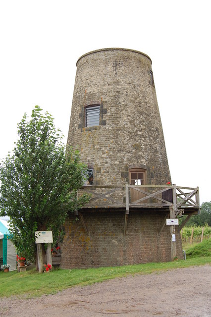
Nutbourne Windmill

Nutbourne Windmill is a tower mill at Nutbourne, Sussex, England which has been converted to retail use. == History == Nutbourne Windmill was built in...

Nutbourne, Horsham

Nutbourne is a hamlet running north–south situated 1.5 miles (2.4 km) east of Pulborough in the Horsham District of West Sussex and is in Pulborough civil...

Pulborough (electoral division)

Pulborough is an electoral division of West Sussex in the United Kingdom and returns one member to sit on West Sussex County Council. The current County...

Nearby Amenities

Located within 500m of 50.955525,-0.44892777
West Chiltington
Is In: West Sussex, England, UK
Place: village
Source: npe
Wikidata: Q3289527
Lat/Long: 50.9558921/-0.44852
Bus Stop
Queens Head PH
Naptan AtcoCode: 4400HR0164
Naptan Bearing: E
Naptan CommonName: Queens Head PH
Naptan Indicator: opp pub
Naptan Landmark: Church Street
Naptan NaptanCode: wsxatmwm
Naptan Street: The Hollows
Naptan Verified: no
Source: naptan_import
Lat/Long: 50.9555611/-0.449575
Queens Head PH
Naptan AtcoCode: 4400HR0165
Naptan Bearing: W
Naptan BusStopType: CUS
Naptan CommonName: Queens Head PH
Naptan Indicator: o/s pub
Naptan Landmark: Church Street
Naptan NaptanCode: wsxatmwp
Naptan Street: The Hollows
Naptan Verified: no
Source: naptan_import
Lat/Long: 50.9554843/-0.4492073
Post Box
Post Box Type: wall
Ref: RH20 71
Lat/Long: 50.9554447/-0.448805
Power: pole
Lat/Long: 50.9578912/-0.4435569
Power: pole
Lat/Long: 50.9581632/-0.4454049
Power: pole
Lat/Long: 50.9584682/-0.4473553
Power: pole
Lat/Long: 50.9590484/-0.4489133
Power: pole
Lat/Long: 50.9596262/-0.4505172
Power: pole
Lat/Long: 50.9595705/-0.4505816
Power: pole
Lat/Long: 50.9589826/-0.4489669
Power: pole
Lat/Long: 50.9584012/-0.447362
Power: pole
Lat/Long: 50.9581023/-0.4454505
Power: pole
Lat/Long: 50.9578253/-0.4435837
Village Stocks
Historic: stocks
Lat/Long: 50.9544127/-0.449118
Kings and Princes Farm
Place: isolated_dwelling
Lat/Long: 50.9555375/-0.451085
Churchfield Farm
Place: farm
Lat/Long: 50.9521822/-0.4510545
Johnson's Farm
Place: farm
Lat/Long: 50.9518904/-0.4475822
Fly Farm
Place: farm
Lat/Long: 50.9529693/-0.44354
Shelter
Shelter Type: public_transport
Lat/Long: 50.9555796/-0.4493501
Defibrillator
Access: yes
Booth: K6
Covered: booth
Defibrillator Location: inside old red phone box, The Hollow, West Chiltington - opposite Queens Head pub
Disused Amenity: telephone
Emergency: defibrillator
Man Made: telephone_box
Lat/Long: 50.9555812/-0.4494033
The data included in this document is from www.openstreetmap.org. The data is made available under ODbL.

Have you been to West Chiltington?

Leave your review of West Chiltington below (or comments, questions and feedback).