West Chadsmoor
Settlement in Staffordshire Cannock Chase
England
West Chadsmoor
West Chadsmoor is a small village situated in the county of Staffordshire, in the West Midlands region of England. Located approximately 2 miles north of Cannock town center, it falls within the Cannock Chase District. The village is part of the larger urban area known as Chadsmoor, which also includes East Chadsmoor.
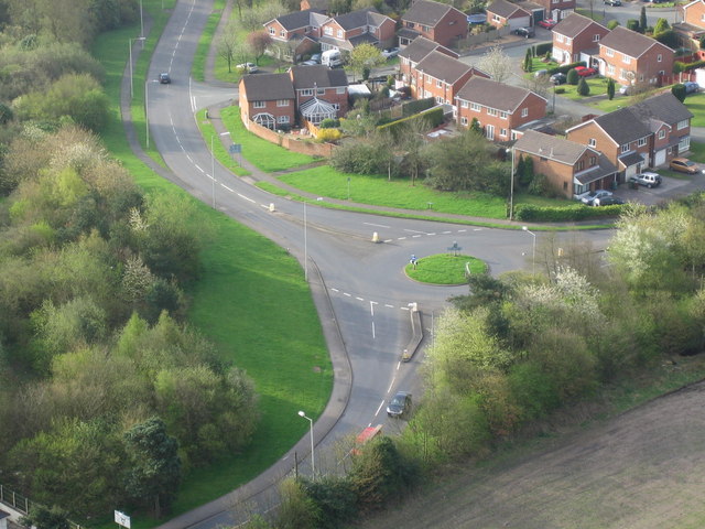
West Chadsmoor is a residential area with a mixture of housing types, ranging from detached houses to semi-detached and terraced properties. The village has a close-knit community feel, with a population of around 4,000 residents. It offers a peaceful and family-friendly environment for its inhabitants.
The village benefits from good transportation links, with the A5190 road passing through, providing easy access to nearby towns and cities. Public transport is also readily available, with regular bus services connecting West Chadsmoor to surrounding areas.
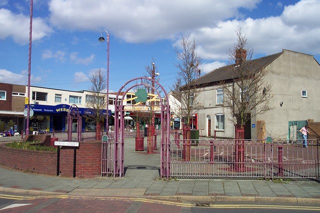
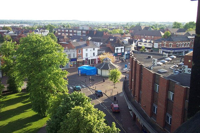
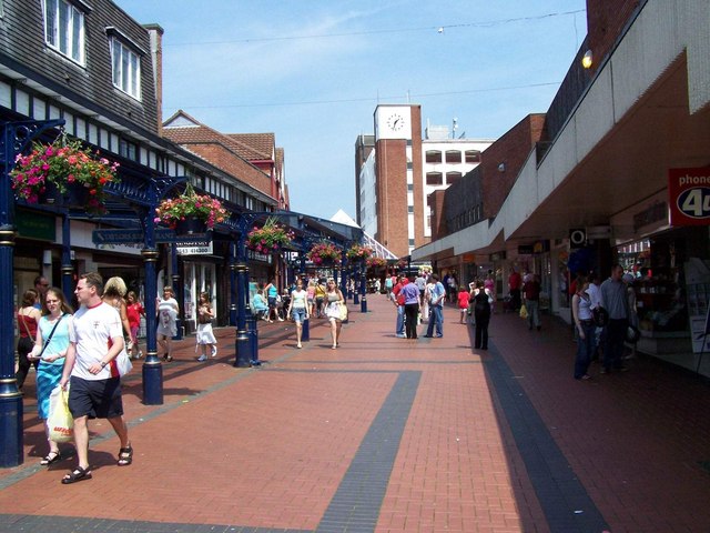
Residents of West Chadsmoor have access to a range of amenities in the nearby town of Cannock, including schools, shopping centers, supermarkets, and leisure facilities. The village itself boasts a few local shops and services, ensuring that daily needs are met within walking distance.
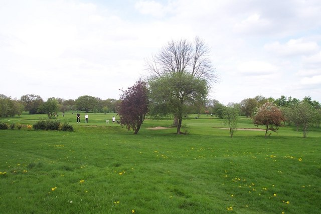
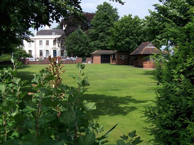
Nature lovers can explore the picturesque Cannock Chase, a designated Area of Outstanding Natural Beauty, which is just a short distance away. The area offers opportunities for outdoor activities such as walking, cycling, and wildlife spotting.
Overall, West Chadsmoor provides a quiet and pleasant living environment, with easy access to amenities and natural beauty, making it an attractive place to reside in Staffordshire.
If you have any feedback on the listing, please let us know in the comments section below.
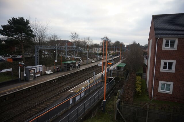
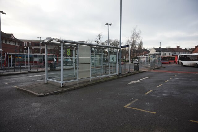
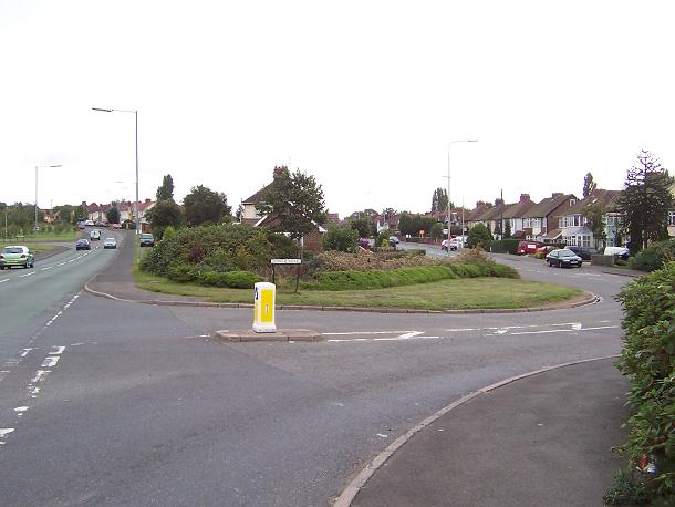
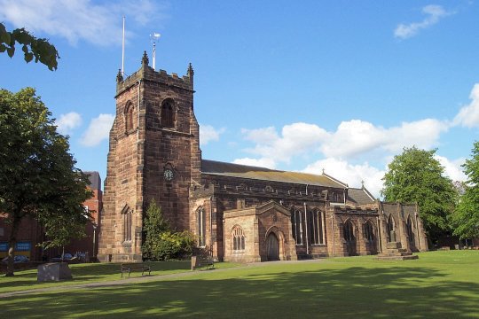
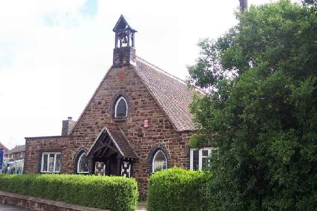
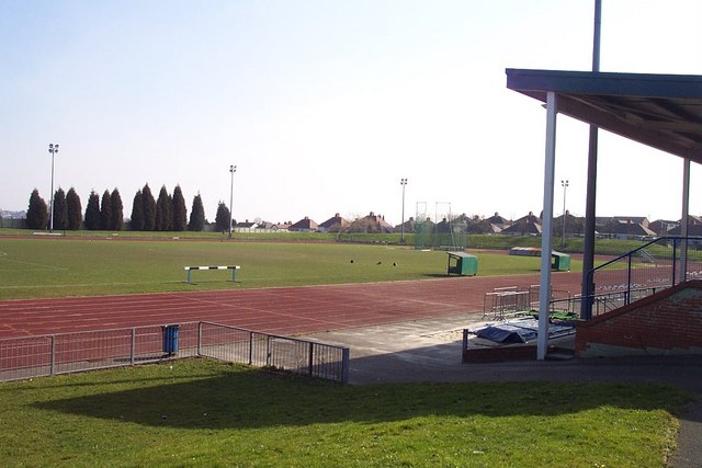
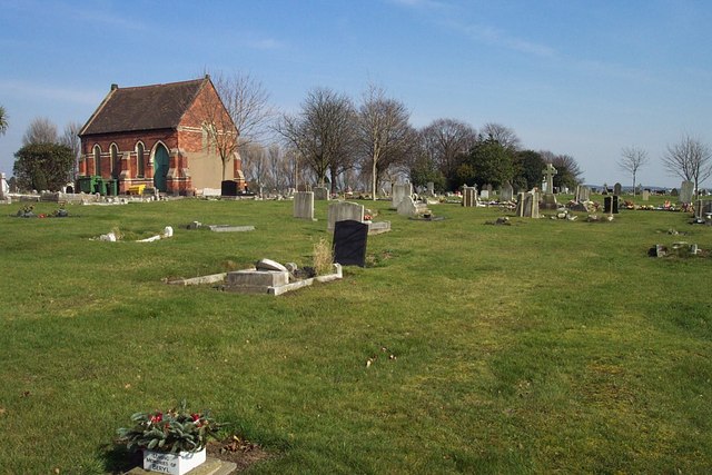
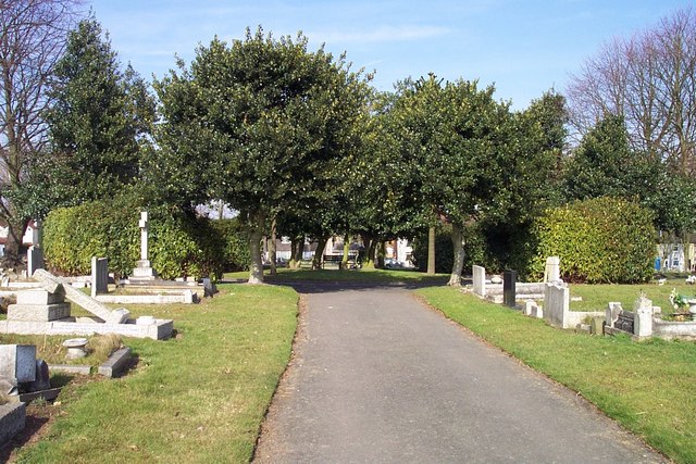
West Chadsmoor Images
Images are sourced within 2km of 52.707886/-2.025977 or Grid Reference SJ9812. Thanks to Geograph Open Source API. All images are credited.
West Chadsmoor is located at Grid Ref: SJ9812 (Lat: 52.707886, Lng: -2.025977)
Administrative County: Staffordshire
District: Cannock Chase
Police Authority: Staffordshire
What 3 Words
///face.lands.pile. Near Cannock, Staffordshire
Nearby Locations
Related Wikis

Staffordshire University Academy
Staffordshire University Academy is a secondary school and sixth form located in Marston Road, Hednesford, Cannock, Staffordshire, England. The school...

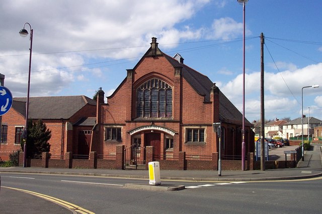
Chadsmoor
Chadsmoor () is a historic village in the Cannock Chase District in Staffordshire, England and is situated between the towns of Cannock and Hednesford...
Pye Green
Pye Green is part of Hednesford, Staffordshire, England, running from Chadsmoor and Hednesford, across the Pye Green valley and to the edge of The Chase...
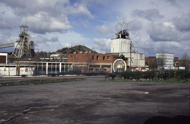
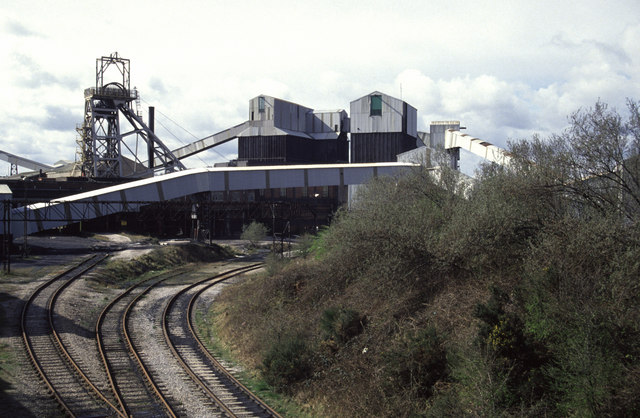
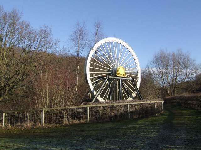
Littleton Colliery
Littleton Colliery was a deep coal mine situated two miles north of Cannock on the A34 in the village of Huntington. The colliery closed on 3 December...
Huntington, Staffordshire
Huntington is a civil parish and former mining village in Staffordshire, on the outskirts of Cannock Chase. It lies on the A34 road just north of Cannock...

Cardinal Griffin Catholic College
Cardinal Griffin Catholic College is a coeducational Catholic Secondary school and sixth form located in Cannock, Staffordshire, England. == History... ==
Cannock Chase High School
Cannock Chase High School is a secondary school with academy status in Cannock, Staffordshire. The school is situated just north of the town centre, towards...
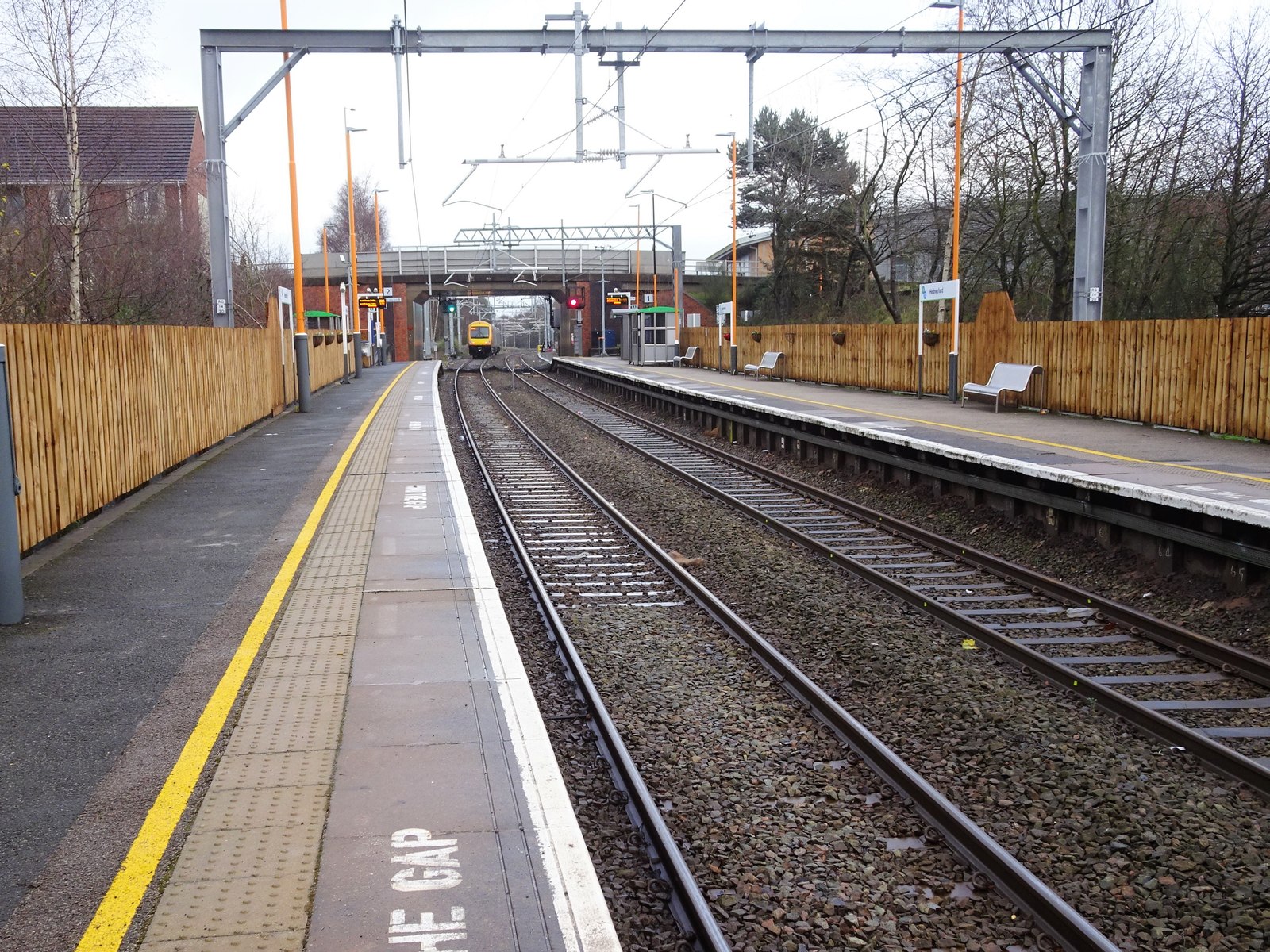
Hednesford railway station
Hednesford railway station serves the town of Hednesford in Staffordshire, England. The station, and all trains serving it, are operated by West Midlands...
Nearby Amenities
Located within 500m of 52.707886,-2.025977Have you been to West Chadsmoor?
Leave your review of West Chadsmoor below (or comments, questions and feedback).