West Carr

Settlement in Yorkshire

England

West Carr

More Ronno, Hull Having noted here <a href="https://www.geograph.org.uk/photo/6933525">TA1431 : Mick Ronson mural, Hull</a> the number of tributes in Hull to the city's celebrated guitarist and David Bowie sideman Mick Ronson, I seem to be spotting them everywhere. 

I'm not sure how recent this image is, at the corner of Cottingham Road and Cranbrook Avenue, but it is certainly smaller and possibly less permanent than some of the others. It carries a quote from Bowie's song 'Changes' presumably in connection with the musical ‘Turn And Face The Strange’ at Hull Truck theatre <span class="nowrap"><a title="https://turnandfacethestrange.co.uk/," rel="nofollow ugc noopener" href="https://turnandfacethestrange.co.uk/,">Link</a><img style="margin-left:2px;" alt="External link" title="External link - shift click to open in new window" src="https://s1.geograph.org.uk/img/external.png" width="10" height="10"/></span> based on Ronson’s life.
More Ronno, Hull Credit: Paul Harrop

West Carr is a small village located in the county of Yorkshire, England. Situated in the northern part of the county, it falls within the local government district of East Riding of Yorkshire. The village is nestled amidst the stunning countryside, surrounded by lush green fields and rolling hills, which are characteristic of the region.

West Carr is a tranquil and picturesque village, known for its peaceful ambiance and close-knit community. The village primarily consists of residential properties, with a mix of traditional cottages and modern houses. The architecture reflects the village's rich history, with some buildings dating back several centuries.

Despite its small size, West Carr boasts a few amenities to cater to its residents' needs. The village has a local pub, providing a social hub for locals and visitors alike. Additionally, there is a small convenience store that offers essential supplies. For a wider range of amenities, the nearby town of Bridlington is easily accessible.

The village is surrounded by stunning natural beauty, making it an attractive destination for outdoor enthusiasts. The surrounding countryside offers plenty of opportunities for hiking, cycling, and exploring the scenic landscapes. West Carr is also in close proximity to the coast, with several beautiful beaches within a short drive.

Overall, West Carr is a charming village that offers a peaceful and picturesque setting for its residents. Its proximity to both countryside and coast make it an ideal location for those seeking a rural lifestyle with access to outdoor activities and amenities.

If you have any feedback on the listing, please let us know in the comments section below.
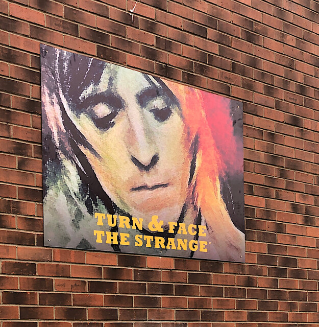
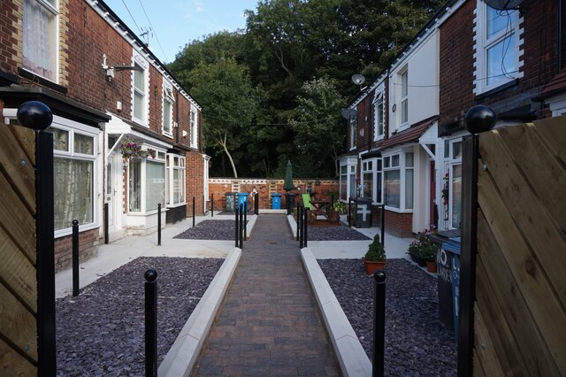
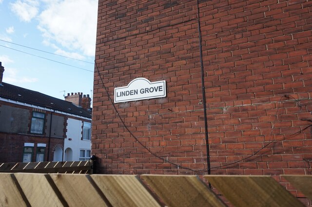
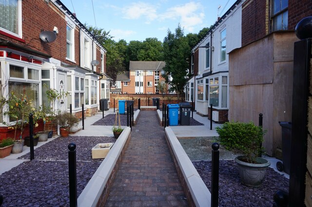
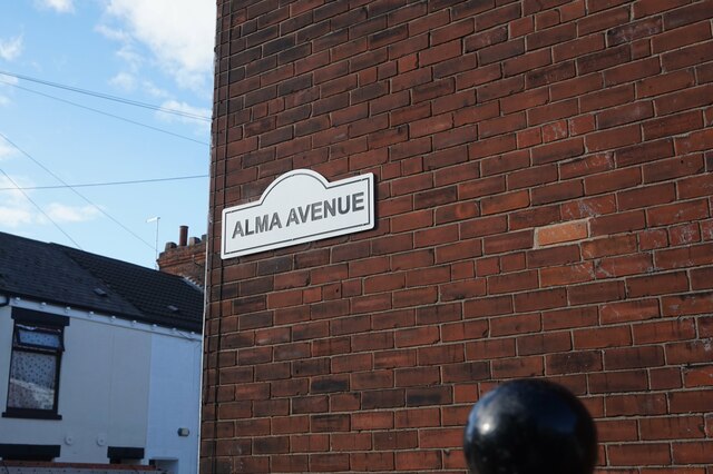
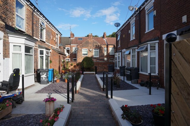
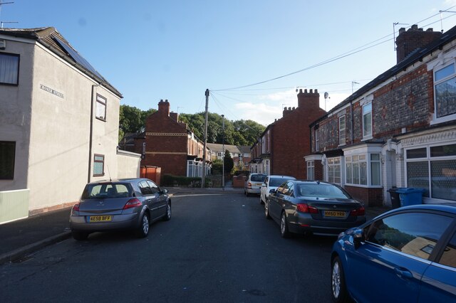
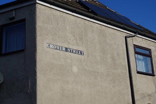
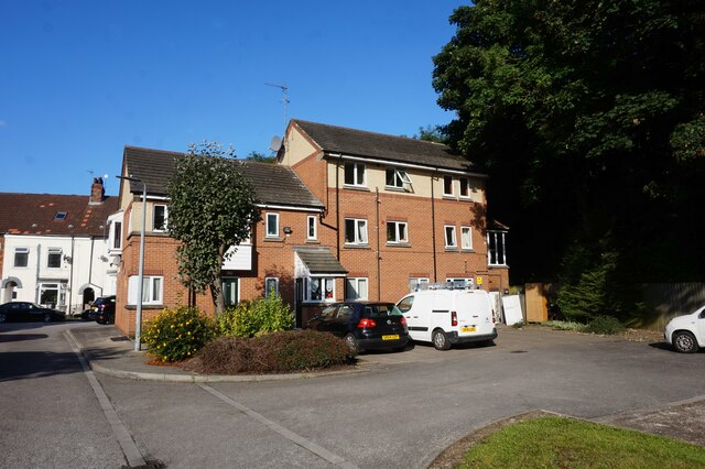
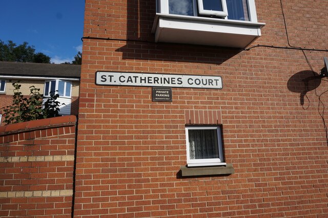
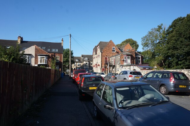
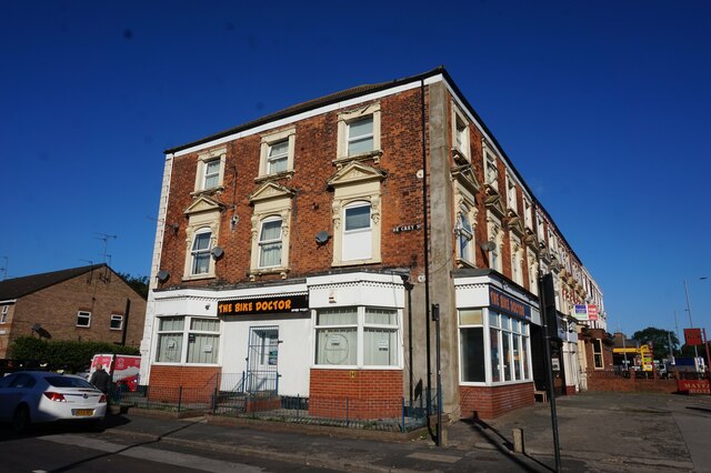
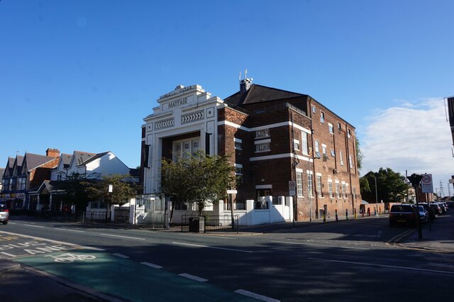
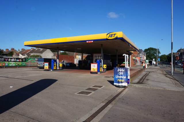
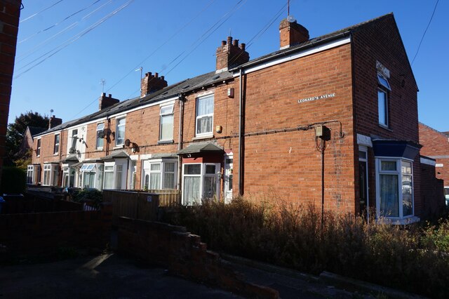
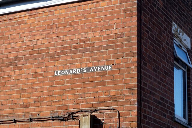
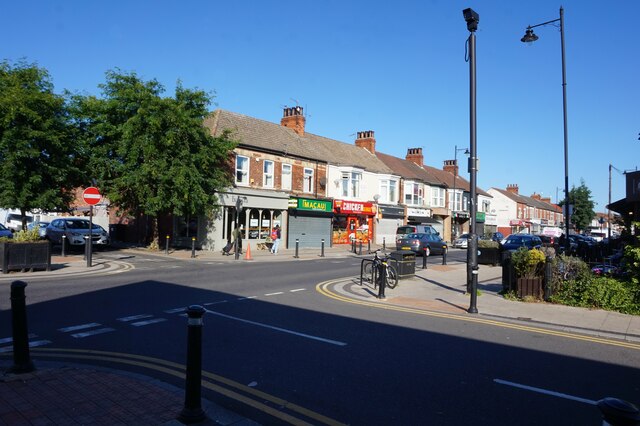
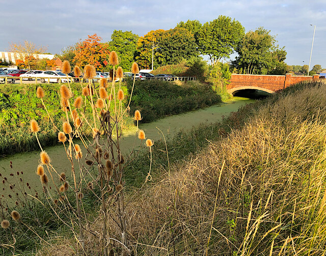
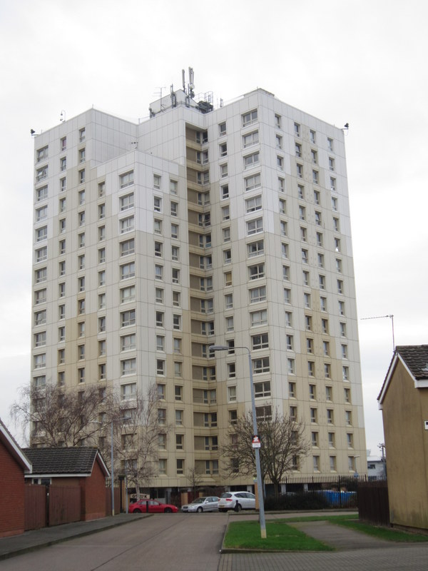
West Carr Images

Images are sourced within 2km of 53.780224/-0.34447388 or Grid Reference TA0932. Thanks to Geograph Open Source API. All images are credited.

More Ronno, Hull Having noted here <a href="https://www.geograph.org.uk/photo/6933525">TA1431 : Mick Ronson mural, Hull</a> the number of tributes in Hull to the city's celebrated guitarist and David Bowie sideman Mick Ronson, I seem to be spotting them everywhere. 

I'm not sure how recent this image is, at the corner of Cottingham Road and Cranbrook Avenue, but it is certainly smaller and possibly less permanent than some of the others. It carries a quote from Bowie's song 'Changes' presumably in connection with the musical ‘Turn And Face The Strange’ at Hull Truck theatre <span class="nowrap"><a title="https://turnandfacethestrange.co.uk/," rel="nofollow ugc noopener" href="https://turnandfacethestrange.co.uk/,">Link</a><img style="margin-left:2px;" alt="External link" title="External link - shift click to open in new window" src="https://s1.geograph.org.uk/img/external.png" width="10" height="10"/></span> based on Ronson’s life.
More Ronno, Hull
Having noted here TA1431 : Mick Ronson mural, Hull the number of tributes in Hull to the city's celebrated guitarist and David Bowie sideman Mick Ronson, I seem to be spotting them everywhere. I'm not sure how recent this image is, at the corner of Cottingham Road and Cranbrook Avenue, but it is certainly smaller and possibly less permanent than some of the others. It carries a quote from Bowie's song 'Changes' presumably in connection with the musical ‘Turn And Face The Strange’ at Hull Truck theatre LinkExternal link based on Ronson’s life.
Linden Grove off Folkestone Street, Hull
Alma Avenue off Folkestone Street, Hull
Fern Grove off Folkestone Street, Hull
Cromer Street, Hull
Cromer Street, Hull
Cromer Street, Hull
Cromer Street, Hull
St Catherines Court off Leonard Street, Hull
St Catherines Court off Leonard's Road, Hull
Fitzroy Street, Hull
The Bike Doctor on Beverley Road, Hull
Mayfair Apartments, Beverley Road, Hull
Jet garage on Beverley Road, Hull
Leonard's Avenue off Alexandra Road, Hull
Shops on Newland Avenue, Hull
Beverley and Barmston Drain, Hull South of Clough Road, which crosses the drain on the bridge seen here. The drain runs south for a further 2km to its outfall into the River Hull
Beverley and Barmston Drain, Hull
South of Clough Road, which crosses the drain on the bridge seen here. The drain runs south for a further 2km to its outfall into the River Hull
Show me another place!

West Carr is located at Grid Ref: TA0932 (Lat: 53.780224, Lng: -0.34447388)

Division: East Riding

Unitary Authority: Kingston upon Hull

Police Authority: Humberside

What 3 Words

///free.stiff.quiet. Near Dunswell, East Yorkshire

Nearby Locations

West Carr Carr, West

Related Wikis

Hall Road Rangers F.C.

Hall Road Rangers Football Club is a football club based in Kingston upon Hull, East Riding of Yorkshire, England. == History == The club was formed in...

Bransholme water works

Bransholme water works is a surface water storage and pumping station serving the Bransholme and Kingswood estates in Kingston upon Hull, England. The...

Beverley Road

Beverley Road (known in local parlance as Bev Road) is one of several major roads that run out of the city of Hull in the East Riding of Yorkshire, England...

A1079 road

The A1079 is a major road in Northern England. It links the cities of York and Kingston upon Hull, both in Yorkshire. The road is noted for its past safety...

St Mary's College, Hull

St Mary's College is a coeducational Roman Catholic secondary school and sixth form located in Cranbrook Avenue, Kingston upon Hull, England. It was formed...

Bransholme

Bransholme is an area and a housing estate on the north side of Kingston upon Hull, East Riding of Yorkshire, England. The name Bransholme comes from an...

St John's Church, Newland

St John's Church, Newland, also known simply as St John Newland, is an Anglican evangelical church located in the parish of Newland in the city of Kingston...

Newland, Kingston upon Hull

Newland is a suburb of Kingston upon Hull, East Riding of Yorkshire, England, in the north-west of the city, a former village on the Hull to Beverley turnpike...

Nearby Amenities

Located within 500m of 53.780224,-0.34447388
Crossing
Bicycle: yes
Crossing: traffic_signals
Crossing Ref: toucan
Lat/Long: 53.7808239/-0.3496028
Turning Circle
Lat/Long: 53.7798105/-0.3493538
Doctors
Sutton Park Medical Practice
Healthcare: doctor
Lat/Long: 53.7835425/-0.3424706
Turning Circle
Lat/Long: 53.7828057/-0.3436943
Recycling
Lat/Long: 53.7837325/-0.3442928
Post Box
Lat/Long: 53.7836836/-0.3434805
Post Box
Lat/Long: 53.7777199/-0.3429245
Bus Stop
Ennerdale Sutton Road
Naptan AtcoCode: 2290YHA00416
Naptan Bearing: SE
Naptan CommonName: Ennerdale Sutton Road
Naptan Crossing: Stockholm Road
Naptan Landmark: Leisure Centre
Naptan PlusbusZoneRef: HULL
Naptan ShortCommonName: Sutton Road
Naptan Street: Ennerdale
Shelter: no
Source: naptan + survey
Lat/Long: 53.7814071/-0.3436432
Bus Stop
Littondale Gorsedale
Bus: yes
Kerb: raised
Naptan AtcoCode: 2290YHA00747
Naptan Bearing: E
Naptan CommonName: Littondale Gorsedale
Naptan Crossing: Cotterdale
Naptan PlusbusZoneRef: HULL
Naptan ShortCommonName: Gorsedale
Naptan Street: Littondale
Public Transport: platform
Shelter: no
Source: naptan + survey
Lat/Long: 53.7834995/-0.3408893
Bus Stop
Littondale Grandale
Bus: yes
Kerb: raised
Naptan AtcoCode: 2290YHA00748
Naptan Bearing: E
Naptan CommonName: Littondale Grandale
Naptan Crossing: Grandale
Naptan PlusbusZoneRef: HULL
Naptan ShortCommonName: Grandale
Naptan Street: Littondale
Public Transport: platform
Shelter: no
Source: naptan + survey
Lat/Long: 53.7833112/-0.3435227
Bus Stop
Littondale Cotterdale
Bus: yes
Kerb: raised
Naptan AtcoCode: 2290YHA00753
Naptan Bearing: W
Naptan CommonName: Littondale Cotterdale
Naptan Crossing: Nidderdale
Naptan Indicator: opp Gorsedale
Naptan Landmark: St Andrews Church
Naptan PlusbusZoneRef: HULL
Naptan ShortCommonName: Cotterdale
Naptan Street: Littondale
Public Transport: platform
Shelter: yes
Source: naptan + survey
Lat/Long: 53.783287/-0.3411254
Bus Stop
Littondale Grandale
Bus: yes
Kerb: raised
Naptan AtcoCode: 2290YHA00754
Naptan Bearing: W
Naptan CommonName: Littondale Grandale
Naptan Crossing: Ennerdale
Naptan Indicator: opp Grandale
Naptan Landmark: The Jar In Hand
Naptan PlusbusZoneRef: HULL
Naptan ShortCommonName: Grandale
Naptan Street: Littondale
Public Transport: platform
Shelter: yes
Source: naptan + survey
Lat/Long: 53.7831543/-0.343878
Bus Stop
Stockholm Road Bergen Way
Bus: yes
Naptan AtcoCode: 2290YHA01090
Naptan Bearing: N
Naptan CommonName: Stockhlm Road Bergen Way
Naptan Crossing: Sutton Road
Naptan PlusbusZoneRef: HULL
Naptan ShortCommonName: Bergen Way
Naptan Street: Stockholm Road
Public Transport: platform
Shelter: no
Source: naptan + survey
Lat/Long: 53.7789056/-0.3434686
Bus Stop
Gothenburg Way
Bus: yes
Naptan AtcoCode: 2290YHA01093
Naptan Bearing: SE
Naptan CommonName: Gothenburg Way
Naptan Crossing: Sutton Road
Naptan PlusbusZoneRef: HULL
Naptan ShortCommonName: Gothenburg Way
Naptan Street: Stockholm Road
Public Transport: platform
Shelter: no
Source: naptan + survey
Lat/Long: 53.7791919/-0.3433662
Bus Stop
Ennerdale Leisure Centre
Bus: yes
Layby: yes
Naptan AtcoCode: 2290YHA01111
Naptan Bearing: W
Naptan CommonName: Ennerdale Leisure Centre
Naptan Crossing: Stockholm Road
Naptan Indicator: Opp Sports Centre
Naptan Landmark: Sutton Road Bridge
Naptan PlusbusZoneRef: HULL
Naptan Street: Sutton Road
Public Transport: platform
Shelter: no
Source: naptan + survey
Lat/Long: 53.7802087/-0.3447377
Bus Stop
Sutton Road Welwyn Park Avenue
Naptan AtcoCode: 2290YHA01112
Naptan Bearing: W
Naptan CommonName: Sutton Road Welwyn Park Avenue
Naptan Crossing: Sutton Road
Naptan PlusbusZoneRef: HULL
Naptan ShortCommonName: Sutton Road
Naptan Street: Welwyn Park Ave
Note: bearing should be E
Shelter: yes
Source: naptan + survey
Lat/Long: 53.7811228/-0.351714
Bus Stop
Ennerdale Leisure Centre
Bus: yes
Kerb: raised
Layby: yes
Naptan AtcoCode: 2290YHA01113
Naptan Bearing: W
Naptan CommonName: Ennerdale Leisure Centre
Naptan Landmark: Sports Centre
Naptan PlusbusZoneRef: HULL
Naptan ShortCommonName: Ennerdale Sports Centre
Naptan Street: Sutton Road
Note: bearing should be E
Public Transport: platform
Shelter: yes
Source: naptan + survey
Lat/Long: 53.7803582/-0.3445493
Bus Stop
Sutton Road Ennerdale
Bus: yes
Naptan AtcoCode: 2290YHA01114
Naptan Bearing: E
Naptan CommonName: Sutton Road Ennerdale
Naptan Crossing: Airedale
Naptan Indicator: adj Ennerdale
Naptan PlusbusZoneRef: HULL
Naptan ShortCommonName: Airedale
Naptan Street: Sutton Road
Note: school buses only; no code on sign
Public Transport: platform
Shelter: no
Source: naptan + survey
Lat/Long: 53.7798112/-0.3400483
Bus Stop
Sutton Road Stockholm Road
Bus: yes
Naptan AtcoCode: 2290YHA01126
Naptan Bearing: W
Naptan CommonName: Sutton Road Stockholm Road
Naptan Crossing: Stockholm Rd
Naptan PlusbusZoneRef: HULL
Naptan ShortCommonName: Stockholm Rd
Naptan Street: Sutton Road
Note: school buses only; no code on sign
Public Transport: platform
Shelter: no
Source: naptan + survey
Lat/Long: 53.7797827/-0.3412333
Crossing
Crossing: traffic_signals
Wheelchair: yes
Lat/Long: 53.7814872/-0.3438584
Crossing
Crossing: traffic_signals
Wheelchair: yes
Lat/Long: 53.7813762/-0.3439908
Power: tower
Lat/Long: 53.7820973/-0.3416852
Power: tower
Lat/Long: 53.7843008/-0.3427012
Power: tower
Lat/Long: 53.7770428/-0.3393168
Power: tower
Lat/Long: 53.7792919/-0.3403442
Plasticonline
Office: yes
Website: https://plasticonline.co.uk/
Lat/Long: 53.7795343/-0.3408878
Lazenby Group
Office: yes
Lat/Long: 53.7793378/-0.3395386
Fast Food
Stars Pizza Takeaway
Addr City: Hull
Addr Housenumber: 1
Addr Postcode: HU7 4BJ
Addr Street: Littondale
Addr Suburb: Sutton-on-Hull
Phone: +44 1482 823 334
Website: https://starspizzahull.com/
Lat/Long: 53.7835215/-0.3434312
The data included in this document is from www.openstreetmap.org. The data is made available under ODbL.

Have you been to West Carr?

Leave your review of West Carr below (or comments, questions and feedback).