West Carr
Settlement in Lincolnshire
England
West Carr
West Carr is a small village located in the county of Lincolnshire, in the East Midlands region of England. Situated approximately 5 miles northeast of the town of Lincoln, it falls within the West Lindsey district. The village is nestled amidst the picturesque Lincolnshire countryside, characterized by its rolling hills, lush green fields, and charming rural landscapes.
West Carr is known for its tranquil and idyllic setting, attracting visitors seeking a peaceful retreat from the hustle and bustle of city life. The village boasts a close-knit community, with a population of around 250 residents, creating a warm and friendly atmosphere.
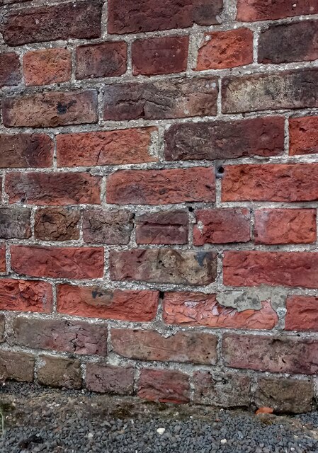
The village is primarily residential, with a scattering of traditional cottages and modern houses. The architectural style of West Carr is largely reflective of its rural surroundings, with many buildings constructed using local materials such as limestone and red brick.
Despite its small size, West Carr benefits from excellent transport links. The A46 road runs nearby, connecting the village to Lincoln and other major towns and cities in the region. This makes it an ideal location for commuters who work in Lincoln or nearby industrial areas.
While West Carr does not have its own amenities such as shops or schools, residents can easily access these facilities in the neighboring towns and villages. The surrounding area offers a range of recreational opportunities, including hiking, cycling, and exploring the nearby Lincolnshire Wolds Area of Outstanding Natural Beauty.
Overall, West Carr is a charming village that offers a peaceful and picturesque retreat in the heart of Lincolnshire.
If you have any feedback on the listing, please let us know in the comments section below.
West Carr Images
Images are sourced within 2km of 53.5572/-0.8819 or Grid Reference SE7407. Thanks to Geograph Open Source API. All images are credited.
West Carr is located at Grid Ref: SE7407 (Lat: 53.5572, Lng: -0.8819)
Division: Parts of Lindsey
Unitary Authority: North Lincolnshire
Police Authority: Humberside
What 3 Words
///craters.draining.collected. Near Belton, Lincolnshire
Nearby Locations
Related Wikis

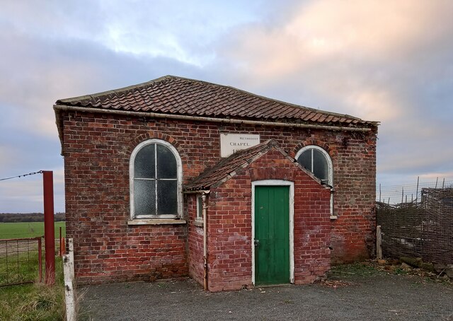
Sandtoft, Lincolnshire
Sandtoft is a hamlet in the civil parish of Belton, North Lincolnshire (Where the population is included), England. Sandtoft is in Hatfield Chase on the...

RAF Sandtoft
Royal Air Force Sandtoft or more simply RAF Sandtoft is a former Royal Air Force station in North Lincolnshire between Doncaster, South Yorkshire and Scunthorpe...

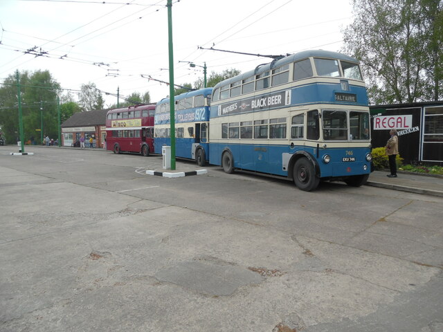
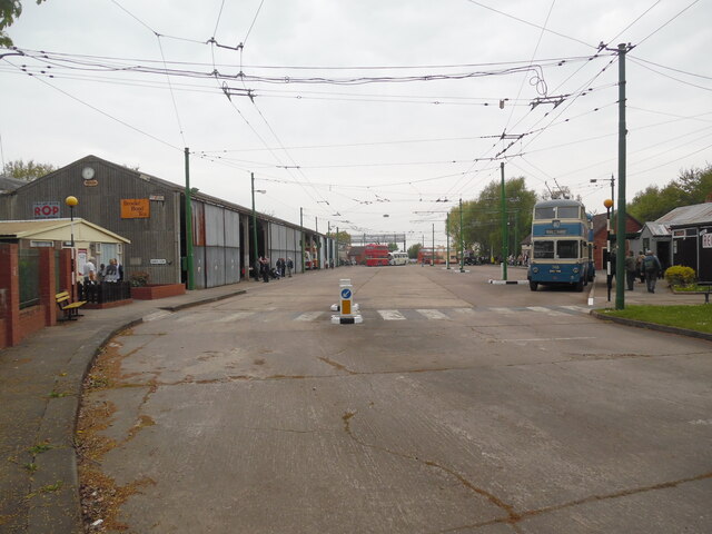
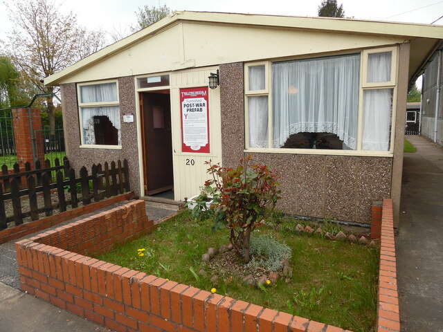
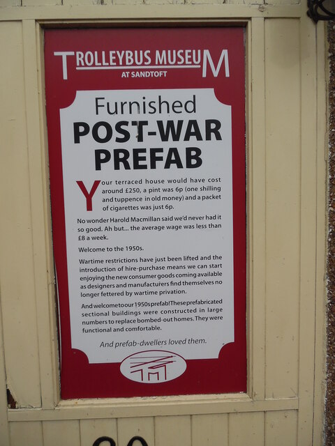
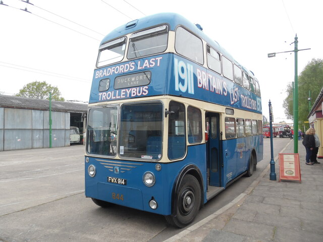
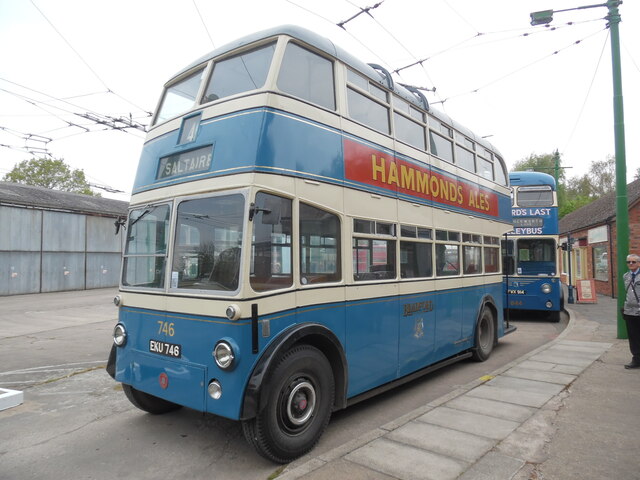
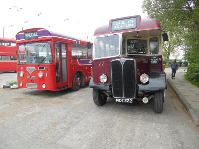
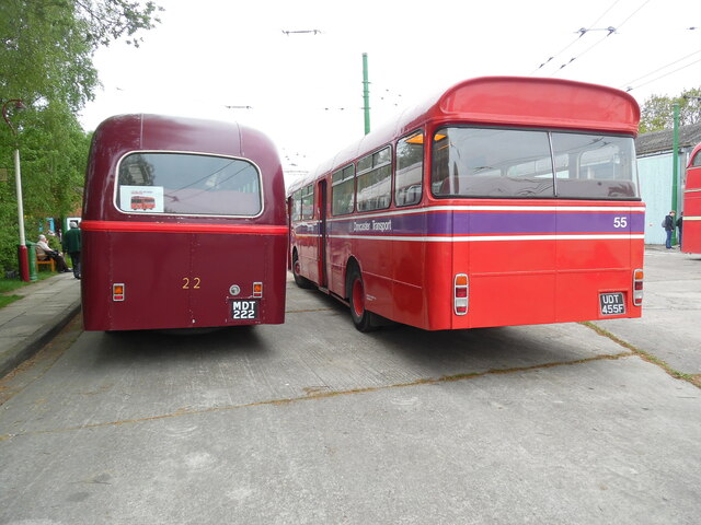
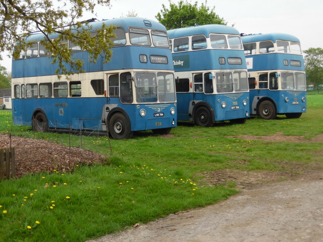
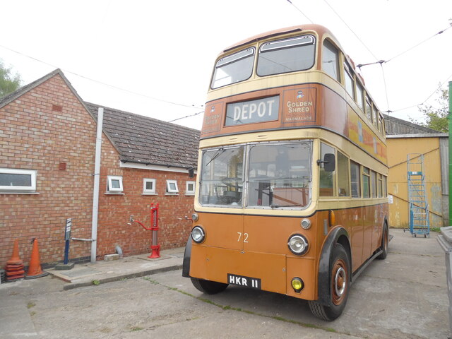
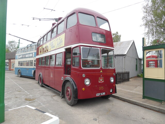
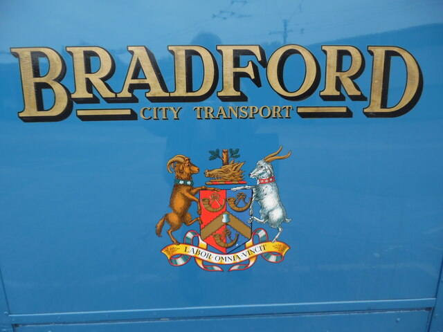
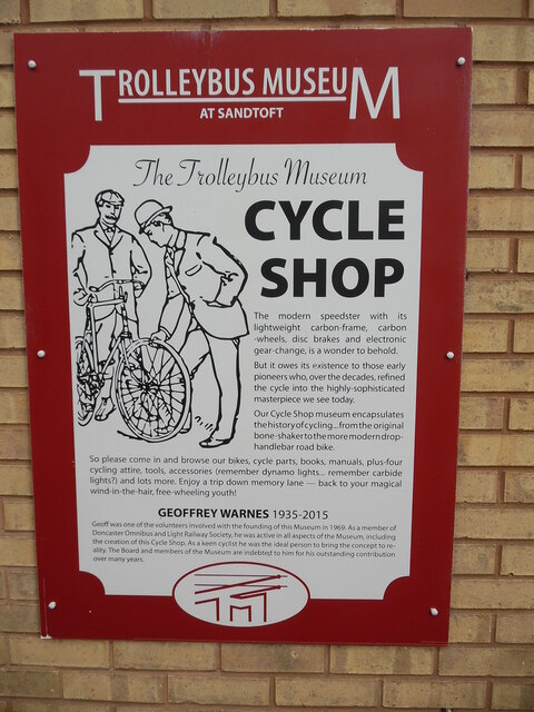
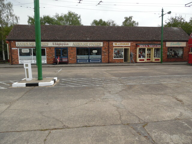
The Trolleybus Museum at Sandtoft
The Trolleybus Museum at Sandtoft is a transport museum which specialises in the preservation of trolleybuses. It is located by the village of Sandtoft...
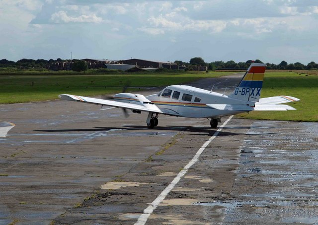
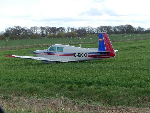
Sandtoft Airfield
Sandtoft Airfield (ICAO: EGCF), also known as Sandtoft Aerodrome, is in Belton, North Lincolnshire, England on the south side of the M180 motorway, approximately...
Belshaw
Belshaw is a Site of Special Scientific Interest (SSSI) in Lincolnshire, England. It lies to the west of the village of Belton in the Isle of Axholme...

Hatfield Chase
Hatfield Chase is a low-lying area in South Yorkshire and North Lincolnshire, England, which was often flooded. It was a royal hunting ground until Charles...

Hatfield Moors
Hatfield Moors (grid reference SK250950) is a 1400.7 hectare (3461.1 acre) biological site of Special Scientific Interest in South Yorkshire. The site...
Bracon
Bracon is a hamlet in North Lincolnshire, England. Bracon lies within the Isle of Axholme and the civil parish of Belton, a village to the north to which...
Nearby Amenities
Located within 500m of 53.5572,-0.8819Have you been to West Carr?
Leave your review of West Carr below (or comments, questions and feedback).