Camel, West

Settlement in Somerset South Somerset

England

Camel, West

Fleet Air Arm Museum Inside the section of the museum housing one of the prototype Concorde aircraft
Fleet Air Arm Museum Credit: Jon Wornham

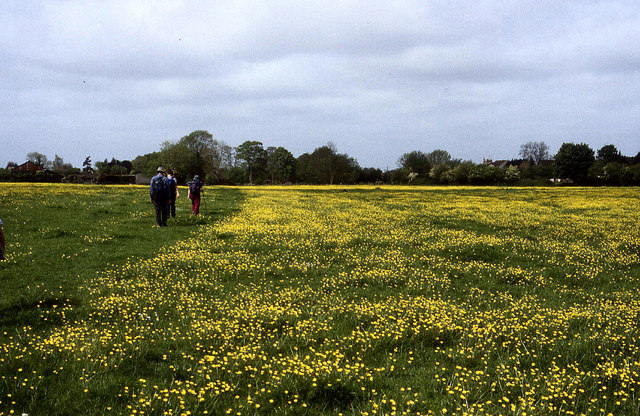
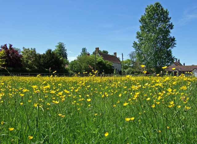
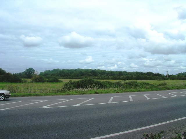
Camel, West Somerset is a small village located in the district of West Somerset, England. Situated on the eastern bank of the River Camel, the village is surrounded by lush green countryside and offers picturesque views of the rolling hills and fields that characterize the region.

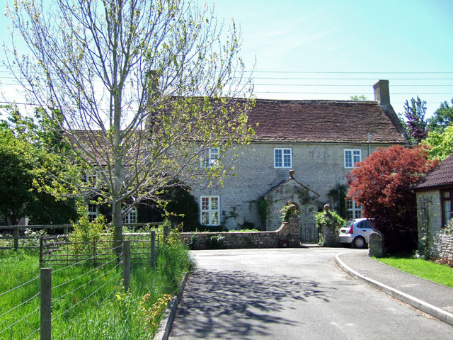
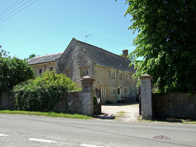
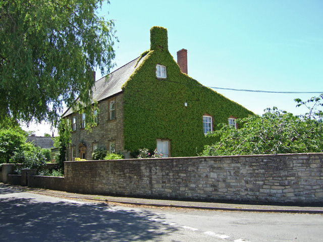
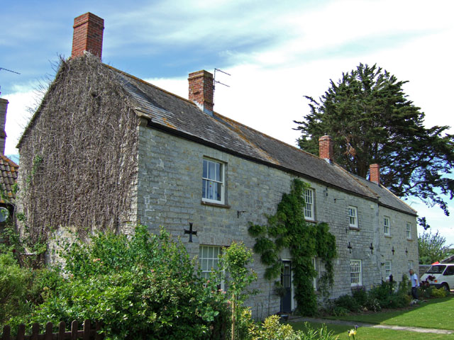
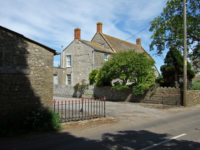
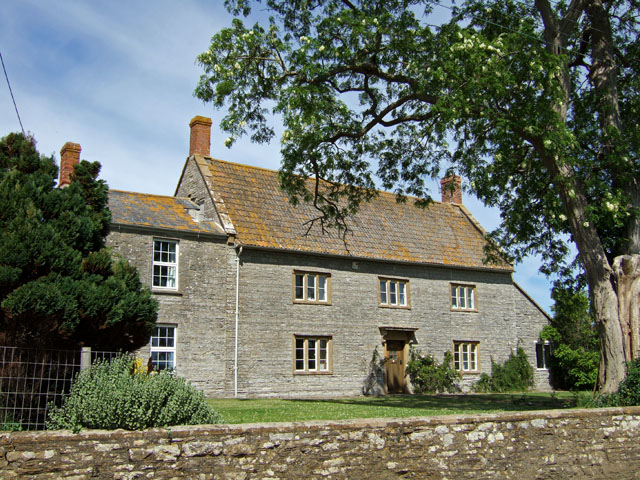
The village itself is quaint and charming, with traditional stone cottages lining the narrow streets. The local community is close-knit and friendly, and there is a strong sense of community spirit. Residents take pride in their village and work together to preserve its historic character.

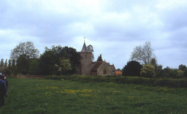
Camel is known for its rich history, with evidence of human habitation dating back to prehistoric times. The village has a number of historic landmarks, including the Grade II listed Church of St. Wyllow, which dates back to the 12th century. The church is known for its stunning stained glass windows and ornate architecture.

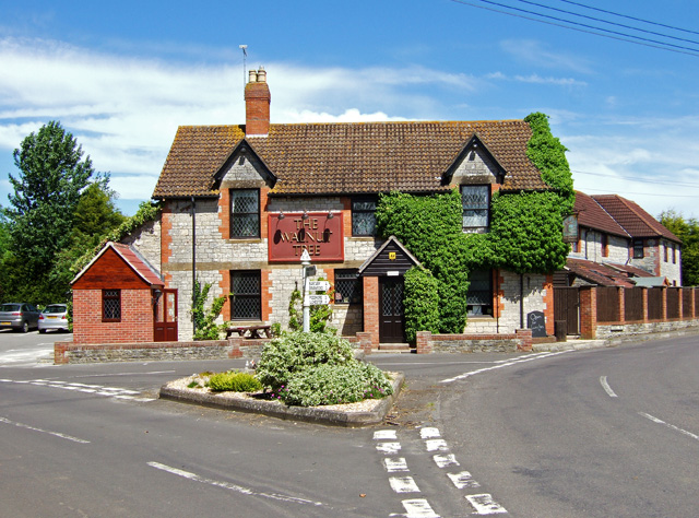
In terms of amenities, Camel offers a few small shops and local businesses, including a village pub and a post office. While it may not have extensive commercial facilities, the village benefits from its close proximity to larger towns and cities such as Taunton and Bristol, which offer a wider range of amenities and services.

Overall, Camel, West Somerset is a charming village with a rich history and a strong sense of community. It offers a peaceful and idyllic setting for residents and visitors alike, providing a taste of rural English life.

If you have any feedback on the listing, please let us know in the comments section below.
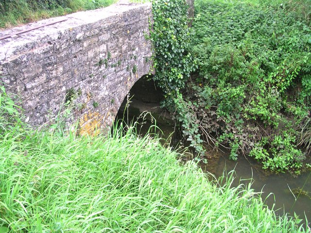
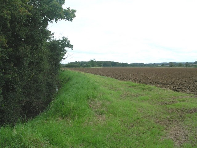
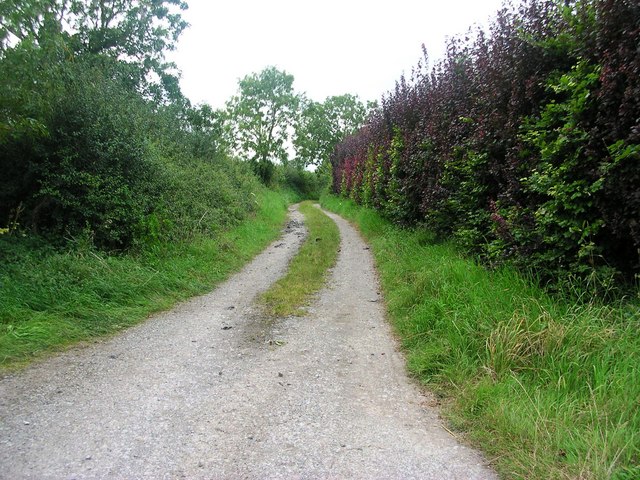
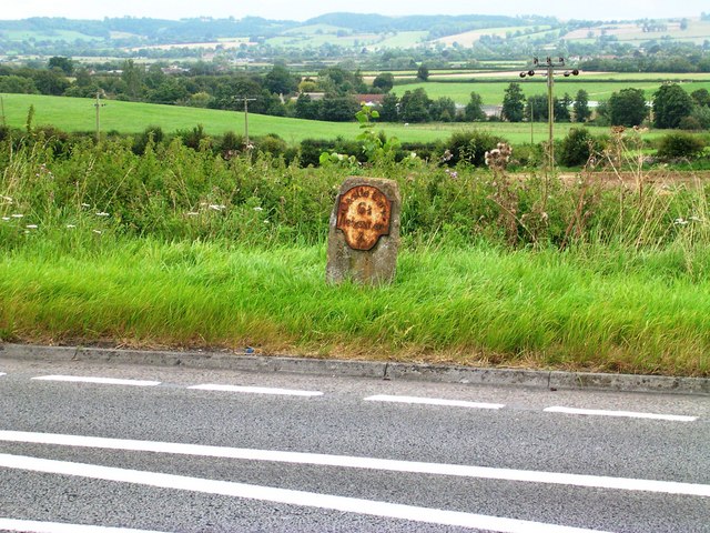
Camel, West Images

Images are sourced within 2km of 51.020334/-2.6077133 or Grid Reference ST5724. Thanks to Geograph Open Source API. All images are credited.

Fleet Air Arm Museum Inside the section of the museum housing one of the prototype Concorde aircraft
Fleet Air Arm Museum
Inside the section of the museum housing one of the prototype Concorde aircraft
Leland Trail near Queen Camel Following the trail westwards through meadows towards West Camel
Leland Trail near Queen Camel
Following the trail westwards through meadows towards West Camel
All Saints Church, West Camel The church is the first building encountered in the village for Leland Trail walkers approaching from Queen Camel
All Saints Church, West Camel
The church is the first building encountered in the village for Leland Trail walkers approaching from Queen Camel
Sheep Pastures near RNAS Yeovilton Livestock quietly graze as we pass them on the Leland Trail. This is in sharp contrast to the shriek of aircraft jet engines from the Royal Naval Airport behind
Sheep Pastures near RNAS Yeovilton
Livestock quietly graze as we pass them on the Leland Trail. This is in sharp contrast to the shriek of aircraft jet engines from the Royal Naval Airport behind
The Walnut Tree at West Camel
Naish's Farmhouse - West Camel Early C18 farmhouse, Grade II* listed.
Naish's Farmhouse - West Camel
Early C18 farmhouse, Grade II* listed.
Buttercups - West Camel
The Old Rectory - West Camel Former rectory, Grade II* listed. Probably early C15 with modifications and major additions of circa 1830.
The Old Rectory - West Camel
Former rectory, Grade II* listed. Probably early C15 with modifications and major additions of circa 1830.
The Manor House - West Camel Late C18 Grade II listed.
The Manor House - West Camel
Late C18 Grade II listed.
Redundant Postbox at Back Street West Camel
Cottages at Downhead
Entrance to Courtry Farm - Bridgehampton
Courtry Farmhouse - Bridgehampton Grade II listed, C18 farmhouse.
Courtry Farmhouse - Bridgehampton
Grade II listed, C18 farmhouse.
Annis Hill from A303 View from edge of A303 (between traffic-just!) NE towards woodland on Annis Hill
Annis Hill from A303
View from edge of A303 (between traffic-just!) NE towards woodland on Annis Hill
Bridge over Dyke Brook on Steart Lane Taken from northern bank looking SE
Bridge over Dyke Brook on Steart Lane
Taken from northern bank looking SE
View along Dyke Brook towards Yarcombe Wood Taken from field access looking east along Dyke Brook
View along Dyke Brook towards Yarcombe Wood
Taken from field access looking east along Dyke Brook
Slate Lane View west along Slate Late - public way
Slate Lane
View west along Slate Late - public way
Milestone at Canegore Corner Southern verge of A303
Milestone at Canegore Corner
Southern verge of A303
Show me another place!

Camel, West is located at Grid Ref: ST5724 (Lat: 51.020334, Lng: -2.6077133)

Administrative County: Somerset

District: South Somerset

Police Authority: Avon and Somerset

What 3 Words

///spoils.policy.width. Near Ilchester, Somerset

Nearby Locations

West Camel Camel, West

Related Wikis

West Camel

West Camel is a village and civil parish in south Somerset, England, about 7 miles (11.3 km) north of the town of Yeovil. It lies either side of the River...

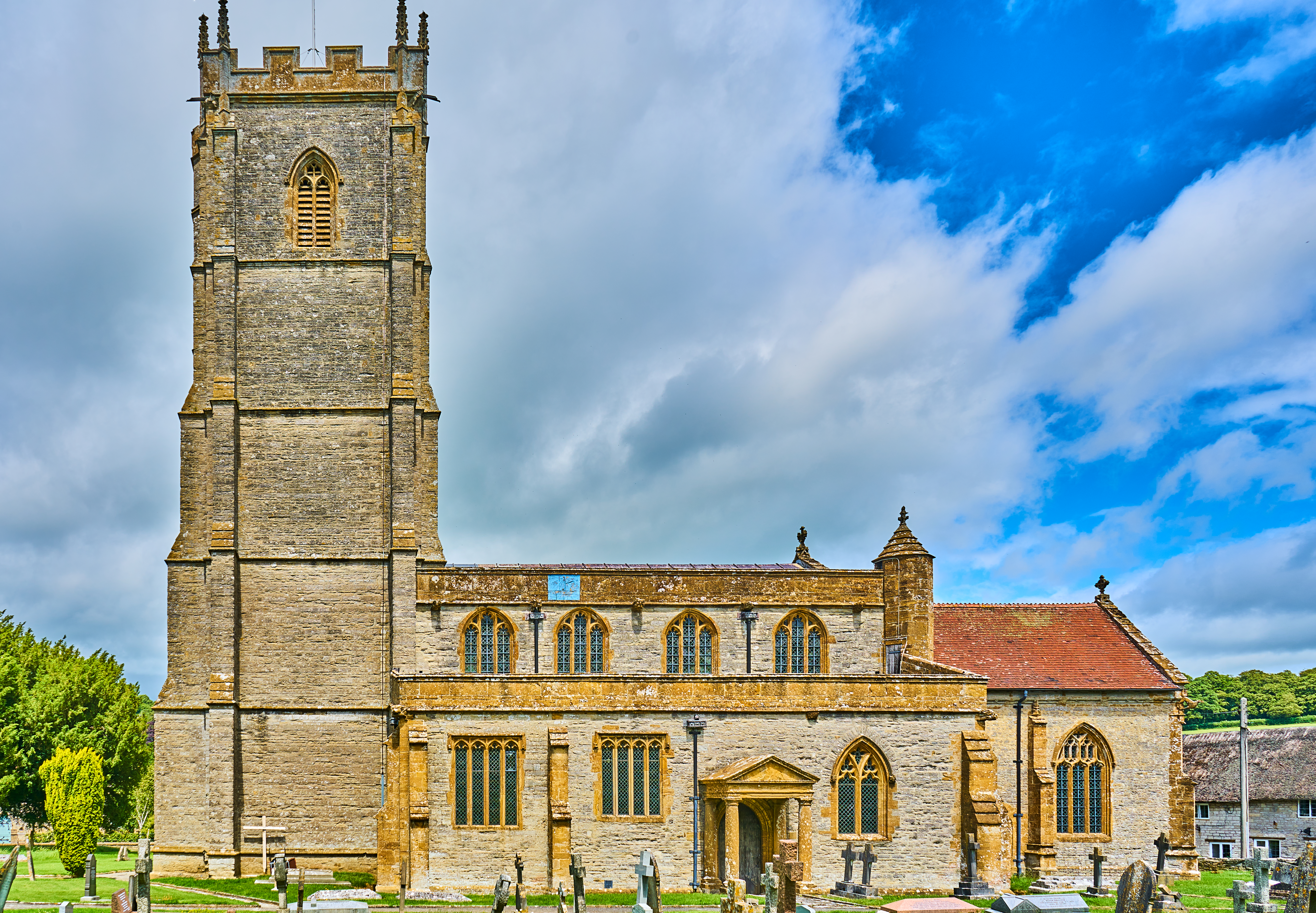
Church of All Saints, West Camel

The Church of All Saints in West Camel, Somerset, England, dates from the late 14th century and has been designated as a Grade I listed building.There...

Queen Camel

Queen Camel is a village and civil parish, on the River Cam and the A359 road, in the unitary authority of Somerset, England. It is about 7 miles (11.3...

Chilton Cantelo

Chilton Cantelo is a village and parish in Somerset, England, situated on the River Yeo 5 miles (8 km) north of Yeovil and 4 miles (6 km) east of Ilchester...

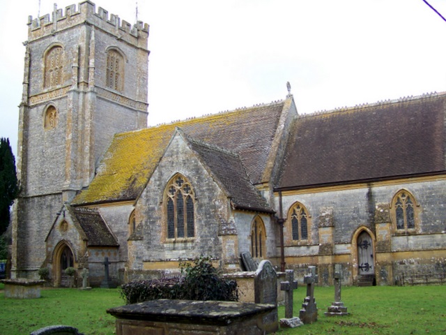
Church of St Barnabas, Queen Camel

The Church of St Barnabas in Queen Camel, Somerset, England was built in the 14th century and has been designated as a Grade I listed building.A former...

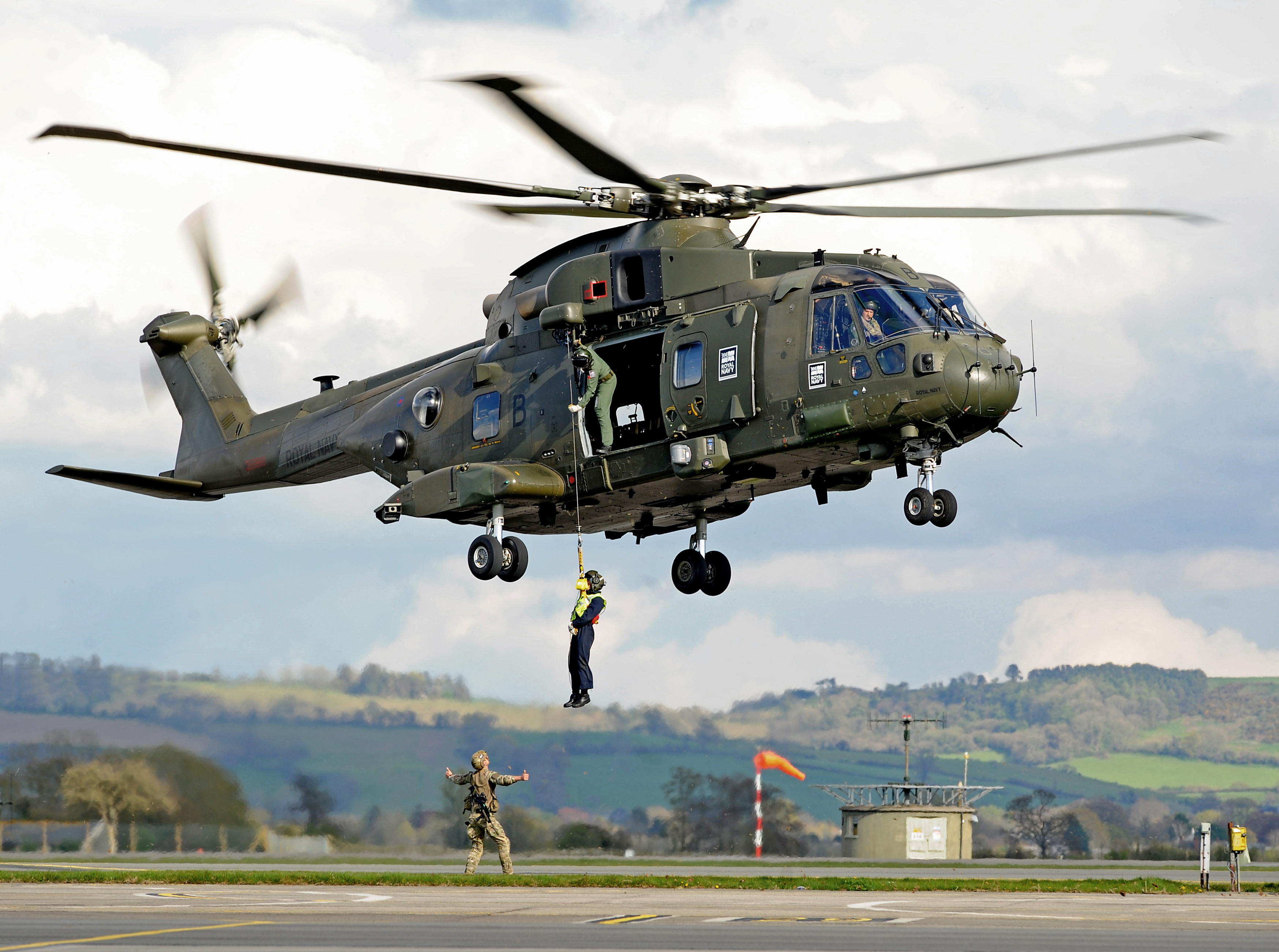
RNAS Yeovilton (HMS Heron)

Royal Naval Air Station Yeovilton, commonly referred to as RNAS Yeovilton, (IATA: YEO, ICAO: EGDY) (HMS Heron) is a military airbase of the Royal Navy...

Chilton Cantelo School

Chilton Cantelo School was a small profit-making mixed private school located in the village of Chilton Cantelo (near Yeovil and Sherborne) in Somerset...

Church of St James, Chilton Cantelo

The Anglican Church of St James in Chilton Cantelo, Somerset, England was built in the 15th century. It is a Grade II* listed building. == History == The...

Nearby Amenities

Located within 500m of 51.020334,-2.6077133
Give Way
Direction: forward
Lat/Long: 51.0206711/-2.6112579
Give Way
Direction: forward
Lat/Long: 51.0197212/-2.6017602
Post Box
Mapillary: 485640776086745
Operator: Royal Mail
Operator Wikidata: Q638098
Post Box Type: lamp
Ref: BA22 77
Royal Cypher: EIIR
Royal Cypher Wikidata: Q33102113
Source Position: Mapillary 2020-10-30
Survey Date: 2020-10-30
Lat/Long: 51.0196672/-2.6015027
Give Way
Direction: backward
Lat/Long: 51.0201033/-2.6019079
Pub
The Walnut Tree
Addr Postcode: BA22 7QW
Website: https://www.thewalnuttreehotel.com
Lat/Long: 51.020531/-2.6020995
Waste Basket
Lat/Long: 51.023845/-2.6097902
Give Way
Direction: forward
Lat/Long: 51.0244191/-2.6085258
Give Way
Direction: forward
Lat/Long: 51.0203995/-2.6019868
The data included in this document is from www.openstreetmap.org. The data is made available under ODbL.

Have you been to Camel, West?

Leave your review of Camel, West below (or comments, questions and feedback).