Butterwick, West

Settlement in Lincolnshire

England

Butterwick, West

Butterwick Hale A hale may be a sheltered area.
Butterwick Hale Credit: David Brown

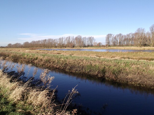
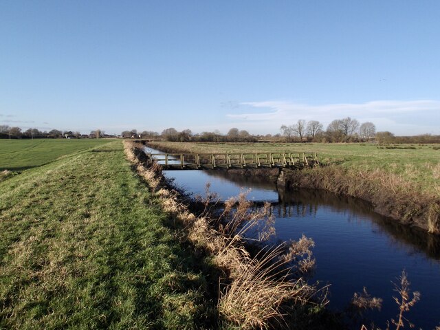
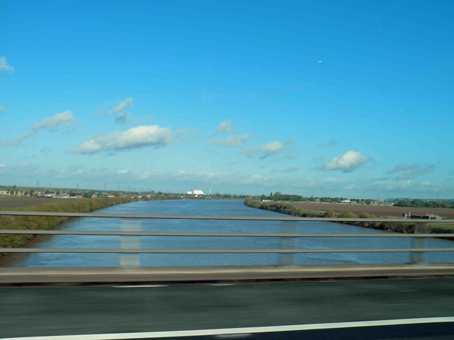
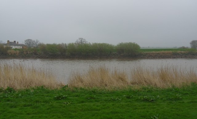
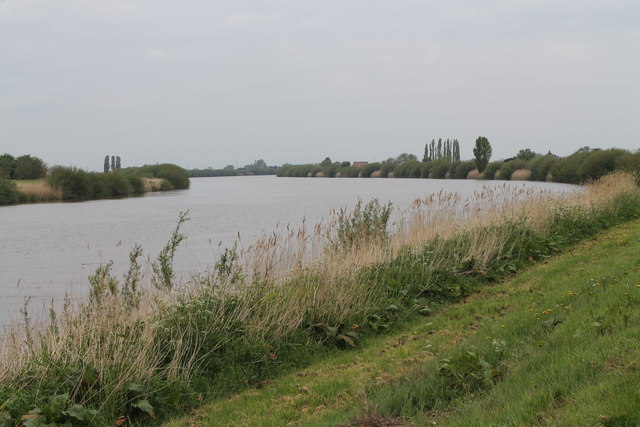
Butterwick is a small rural village located in the West Lindsey district of Lincolnshire, England. Situated approximately 5 miles east of the market town of Gainsborough, it is home to a population of around 500 residents. The village is nestled in the picturesque countryside, with the River Till flowing through its southern boundary.

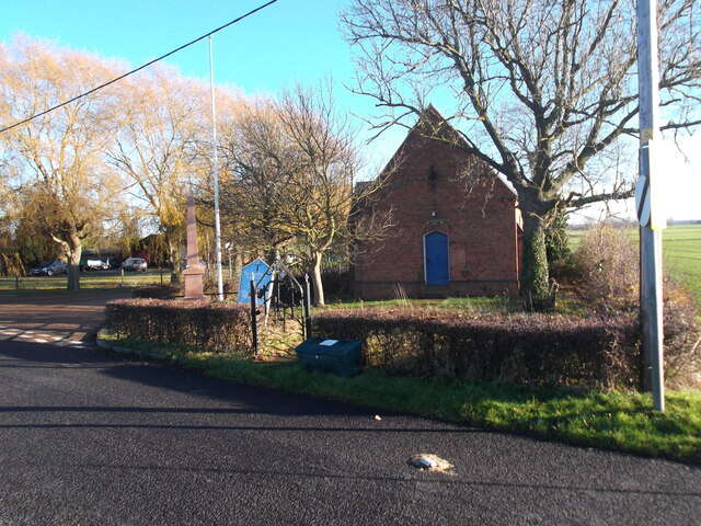
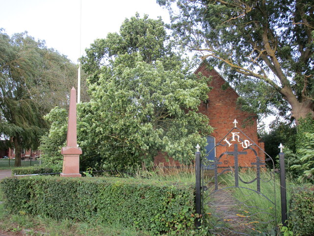
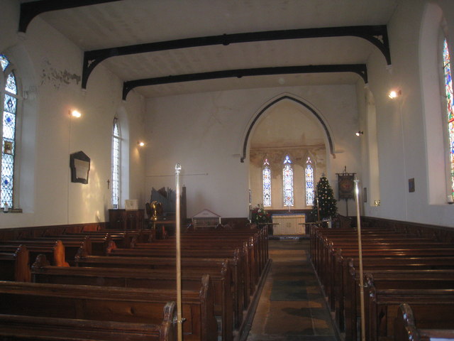
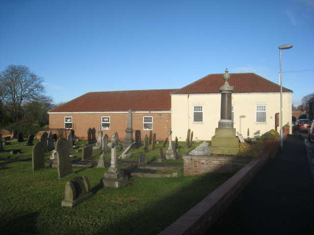
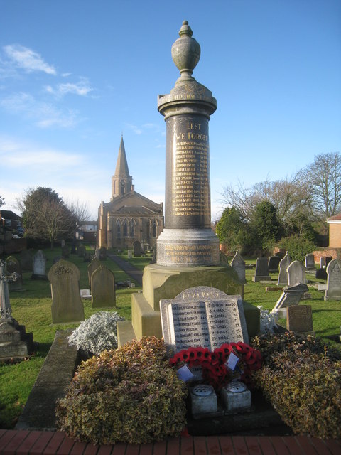
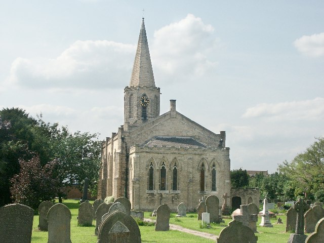
Despite its small size, Butterwick has a rich history dating back to the Domesday Book of 1086. The village is known for its charming traditional stone cottages and historic buildings, including the Grade II listed St. Andrew's Church, which dates back to the 12th century. The church features a beautiful Norman arch and a medieval font, attracting visitors interested in architectural heritage.

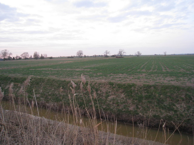
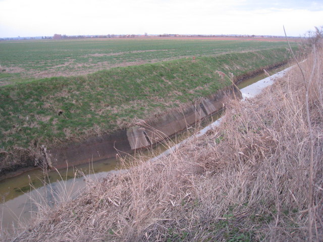
The village is predominantly agricultural, with farming playing a significant role in the local economy. The surrounding fertile land supports arable farming and pastoral activities, contributing to the region's rural charm. Butterwick benefits from its close proximity to Gainsborough, offering residents easy access to a range of amenities, including shops, schools, and healthcare facilities.

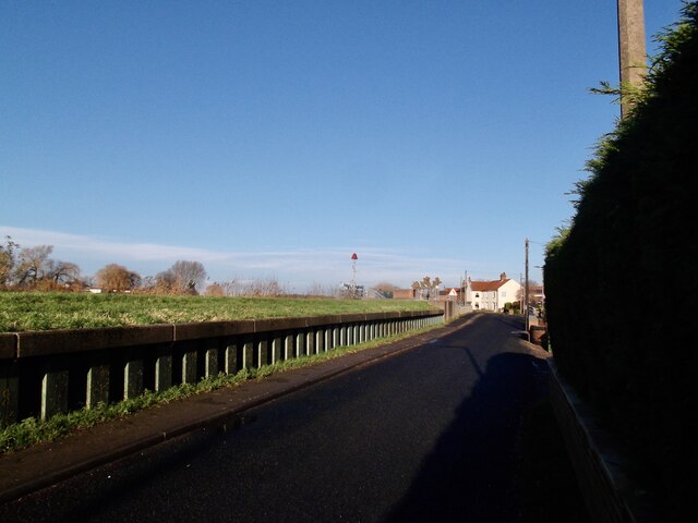
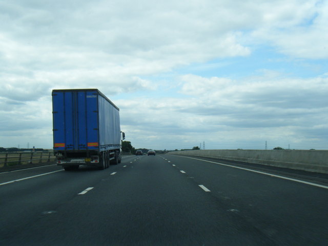
Butterwick is also well-connected to nearby towns and cities via road and public transport links. The A631 road passes through the village, connecting it to Gainsborough and the wider road network. Public transportation options include regular bus services that connect Butterwick to surrounding towns and villages, providing residents with additional travel opportunities.

Overall, Butterwick offers a peaceful and idyllic countryside living experience, with its historical charm, agricultural heritage, and convenient location ensuring a close-knit community and a tranquil lifestyle.

If you have any feedback on the listing, please let us know in the comments section below.

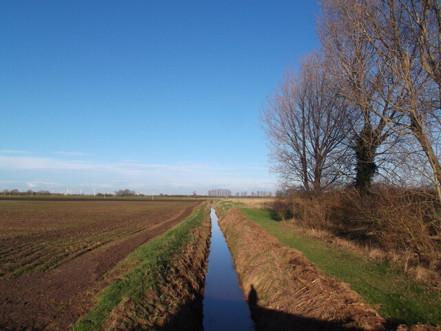
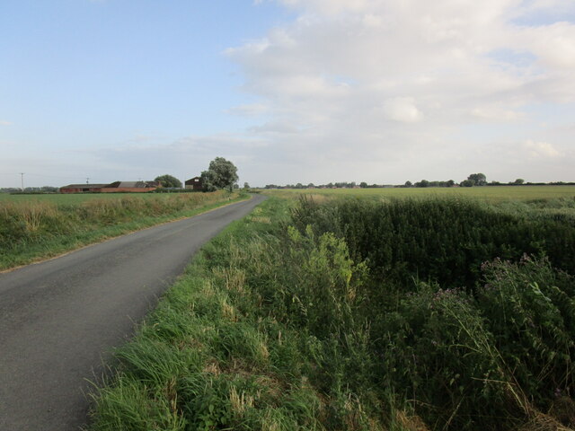
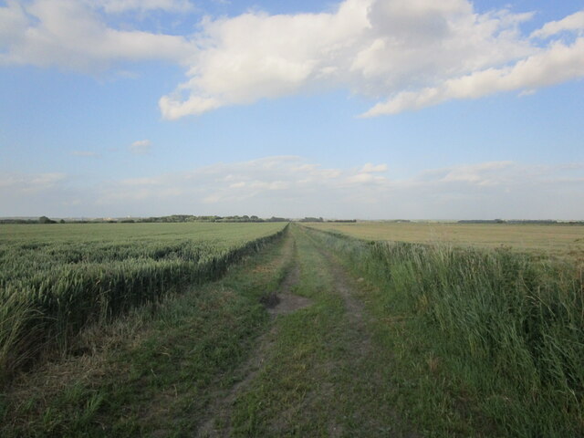
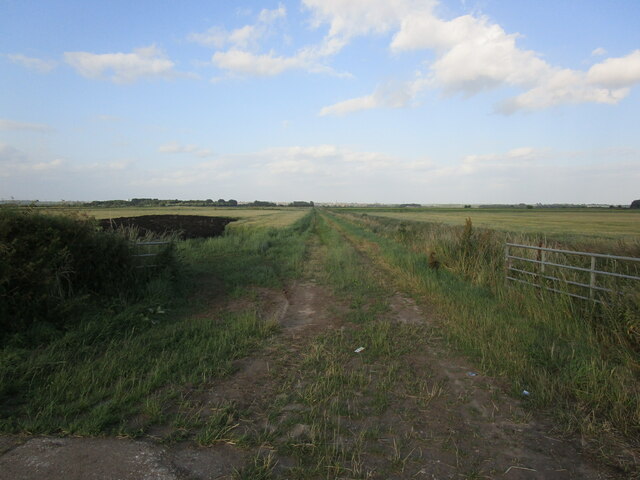
Butterwick, West Images

Images are sourced within 2km of 53.541933/-0.74110823 or Grid Reference SE8305. Thanks to Geograph Open Source API. All images are credited.

Butterwick Hale A hale may be a sheltered area.
Butterwick Hale
A hale may be a sheltered area.
Bottesford Beck
Bottesford Beck
High Street, East Butterwick
Disused church, East Butterwick The shared Anglican and Methodist Church appears to be unused and neglected.
Disused church, East Butterwick
The shared Anglican and Methodist Church appears to be unused and neglected.
Drain by Bonito Farm
Wheat field and Carr Dyke Road Burringham South Grange on the left in the distance.
Wheat field and Carr Dyke Road
Burringham South Grange on the left in the distance.
Farm track near Burringham South Grange
Farm track near East Butterwick
War memorial and the former St Andrew's church, East Butterwick St Andrew's church closed in about 2014.
War memorial and the former St Andrew's church, East Butterwick
St Andrew's church closed in about 2014.
View from Black Bank There's not a lot to see !
View from Black Bank
There's not a lot to see !
Former Sluice on West Common South Drain
Crossing the River Trent on the M180 motorway
Interior, St. Mary's, West Butterwick Briggs, 1841 A rather strange building which looks as if it ought to have a north arcade or gallery (or both). Despite this oddity it has excellent acoustics. <span class="nowrap"><a title="http://www.britishlistedbuildings.co.uk/en-165220-church-of-st-mary-west-butterwick-" rel="nofollow ugc noopener" href="http://www.britishlistedbuildings.co.uk/en-165220-church-of-st-mary-west-butterwick-">Link</a><img style="margin-left:2px;" alt="External link" title="External link - shift click to open in new window" src="https://s1.geograph.org.uk/img/external.png" width="10" height="10"/></span>
Interior, St. Mary's, West Butterwick
Briggs, 1841 A rather strange building which looks as if it ought to have a north arcade or gallery (or both). Despite this oddity it has excellent acoustics. LinkExternal link
West Butterwick War Memorial and Methodist Church
West Butterwick, War Memorials An unusual design for the First World War Memorial (a style rather more popular half a century earlier) and a rather more prosaic one for the Second World War. St. Mary's church in the background.
West Butterwick, War Memorials
An unusual design for the First World War Memorial (a style rather more popular half a century earlier) and a rather more prosaic one for the Second World War. St. Mary's church in the background.
M180 westbound crossing the Trent Bridge
Across the Trent to Ings farm. Dull day beside the Trent.
Across the Trent to Ings farm.
Dull day beside the Trent.
River Trent near the Butterwicks The River Trent is the third longest river in England (185 miles). It rises on Biddolph Moor, Staffordshire, then follows a generally north east to northerly path to join the River Ouse at Trent Falls. The Ouse & Trent combined form the Humber Estuary.
It is a very important river, economically having a number of Power Stations and industrial sites along its banks. It is navigable as far as Burton-On-Trent.
Wikipedia: <span class="nowrap"><a title="http://en.wikipedia.org/wiki/River_Trent" rel="nofollow ugc noopener" href="http://en.wikipedia.org/wiki/River_Trent">Link</a><img style="margin-left:2px;" alt="External link" title="External link - shift click to open in new window" src="https://s1.geograph.org.uk/img/external.png" width="10" height="10"/></span>
River Trent near the Butterwicks
The River Trent is the third longest river in England (185 miles). It rises on Biddolph Moor, Staffordshire, then follows a generally north east to northerly path to join the River Ouse at Trent Falls. The Ouse & Trent combined form the Humber Estuary. It is a very important river, economically having a number of Power Stations and industrial sites along its banks. It is navigable as far as Burton-On-Trent. Wikipedia: LinkExternal link
Show me another place!

Butterwick, West is located at Grid Ref: SE8305 (Lat: 53.541933, Lng: -0.74110823)

Division: Parts of Lindsey

Unitary Authority: North Lincolnshire

Police Authority: Humberside

What 3 Words

///thatched.promise.stores. Near Burringham, Lincolnshire

Related Wikis

West Butterwick

West Butterwick is a village and civil parish in North Lincolnshire, England. It lies in the Isle of Axholme, approximately 4 miles (6 km) north-east...

East Butterwick

East Butterwick is a village and civil parish in North Lincolnshire, England. It lies in the Isle of Axholme, about 4 miles (6 km) north-east from Epworth...

River Eau

The River Eau ( YOO) is a 15-mile-long (24 km) tributary of the River Trent that flows through Lincolnshire, England.The Eau catchment lies between that...

Burringham

Burringham is a village and civil parish in North Lincolnshire, England. The population of the civil parish at the 2011 census was 737. The village is...

Nearby Amenities

Located within 500m of 53.541933,-0.74110823
West Butterwick
Place: village
Wikidata: Q7984627
Lat/Long: 53.5428481/-0.7409949
Bus Stop
St Andrews Church
Naptan AtcoCode: 227000010189
Naptan Bearing: SW
Naptan CommonName: St Andrews Church
Naptan Indicator: o/s
Naptan NaptanCode: scudtam
Naptan Street: High Street
Naptan Verified: no
Source: naptan_import
Lat/Long: 53.5403653/-0.7388786
Bus Stop
North Street
Alt Name: Three Horse Shoes
Naptan AltCommonName: Three Horse Shoes
Naptan AltIndicator: opp
Naptan AltStreet: North Street
Naptan AtcoCode: 227000010771
Naptan Bearing: S
Naptan CommonName: North Street
Naptan Indicator: o/s 8
Naptan NaptanCode: scupmgj
Naptan Street: North Street
Naptan Verified: no
Source: naptan_import
Lat/Long: 53.5422389/-0.7407154
Bus Stop
North Street
Naptan AtcoCode: 227000010845
Naptan Bearing: N
Naptan CommonName: North Street
Naptan Indicator: o/s 19
Naptan NaptanCode: scujdgp
Naptan Street: North Street
Naptan Verified: no
Source: naptan_import
Lat/Long: 53.5434556/-0.7404016
Bus Stop
Riverside Flats
Alt Name: Northfield Close
Naptan AltCommonName: Northfield Close
Naptan AltIndicator: adj
Naptan AltStreet: North Street
Naptan AtcoCode: 227000010882
Naptan Bearing: S
Naptan CommonName: Riverside Flats
Naptan Indicator: o/s
Naptan NaptanCode: scugjgt
Naptan Street: North Street
Naptan Verified: no
Source: naptan_import
Lat/Long: 53.5455002/-0.7404192
Bus Stop
Riverside Flats
Alt Name: Northfield Close
Naptan AltCommonName: Northfield Close
Naptan AltIndicator: opp
Naptan AltStreet: North Street
Naptan AtcoCode: 227000010883
Naptan Bearing: N
Naptan CommonName: Riverside Flats
Naptan Indicator: opp
Naptan NaptanCode: scugmgt
Naptan Street: North Street
Naptan Verified: no
Source: naptan_import
Lat/Long: 53.5459468/-0.7405087
Bench
Lat/Long: 53.5438886/-0.7471125
Pub
Three Horse Shoes
Lat/Long: 53.5422295/-0.7410955
Pub
Ferryboat Inn
Lat/Long: 53.5413497/-0.7412135
Hollly House Farm
Place: farm
Source: Bing
Lat/Long: 53.5420669/-0.73676
Lane Farm
Place: farm
Source: Bing
Lat/Long: 53.5437146/-0.7438027
Bus Stop
Axgro Foods (North Site)
Alt Name: Parklands
Bus: yes
Naptan AtcoCode: 227000011268
Naptan Bearing: E
Naptan CommonName: West Street
Naptan Indicator: O/S 20
Naptan NaptanCode: scudjma
Naptan Street: West Street
Naptan Verified: no
Public Transport: platform
Source: naptan_import
Lat/Long: 53.5427404/-0.7452294
Parking
Riverside Flats
Access: private
Lat/Long: 53.5456818/-0.7403058
Bench
Backrest: yes
Lat/Long: 53.5407601/-0.7413626
The data included in this document is from www.openstreetmap.org. The data is made available under ODbL.

Have you been to Butterwick, West?

Leave your review of Butterwick, West below (or comments, questions and feedback).