West Bridgford

Settlement in Nottinghamshire Rushcliffe

England

West Bridgford

Gamston Cycleway
Gamston Cycleway Credit: Alan Murray-Rust

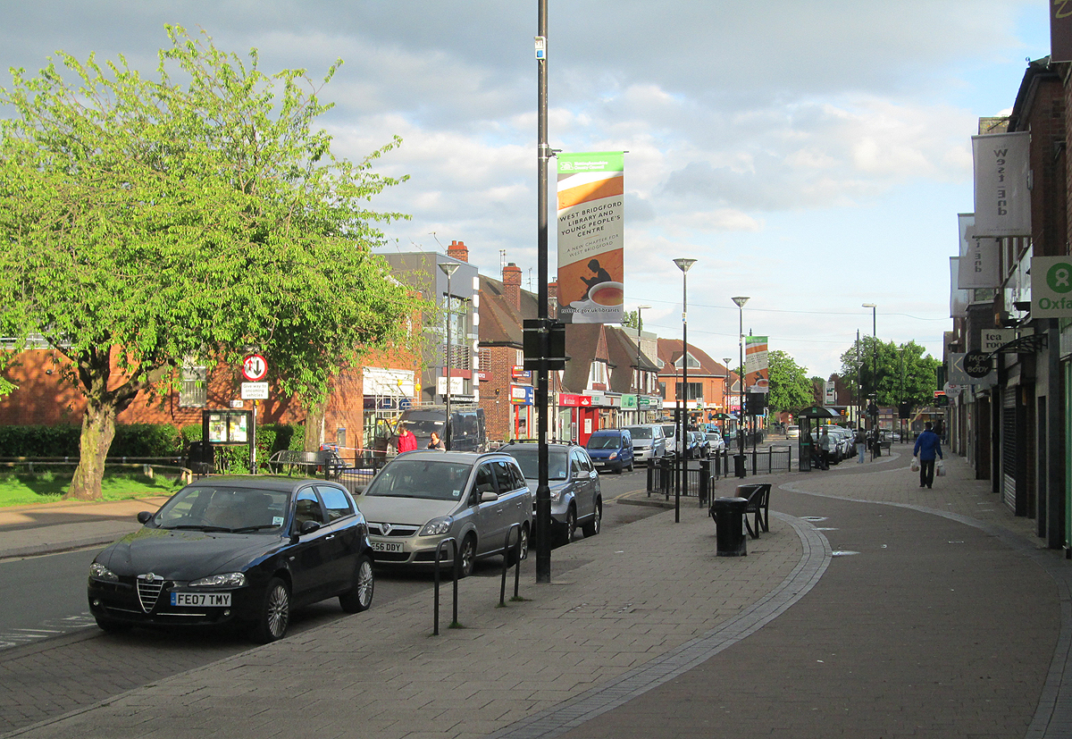
West Bridgford is a suburban town located in the county of Nottinghamshire, England. Situated just 2 miles south of the city of Nottingham, it is primarily a residential area known for its leafy streets, well-maintained parks, and vibrant community.

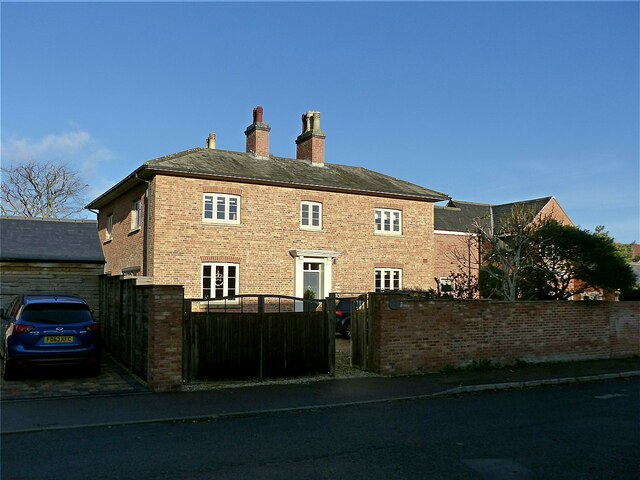
The town's history dates back to the 9th century when it was a small agricultural settlement. Over the years, it has witnessed significant growth and development, becoming an attractive place to live for families and professionals alike. West Bridgford offers a mix of housing options, from detached houses to modern apartments, catering to various lifestyles and budgets.

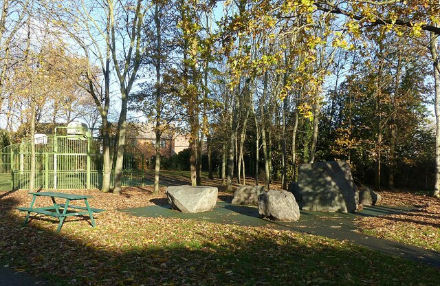
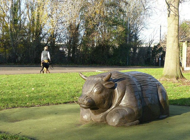
One of the highlights of West Bridgford is its renowned sporting culture. The town is home to Trent Bridge Cricket Ground, an iconic venue hosting international cricket matches. Football fans can cheer on Nottingham Forest F.C. at the City Ground, located just across the River Trent. Additionally, West Bridgford boasts a range of recreational facilities, including several golf courses, tennis clubs, and a leisure center.

Residents and visitors enjoy the vibrant food and drink scene in West Bridgford. The town center is filled with a diverse array of restaurants, cafes, and bars, offering cuisine from around the world. The monthly West Bridgford Farmers' Market is a popular event, showcasing local produce and artisanal products.

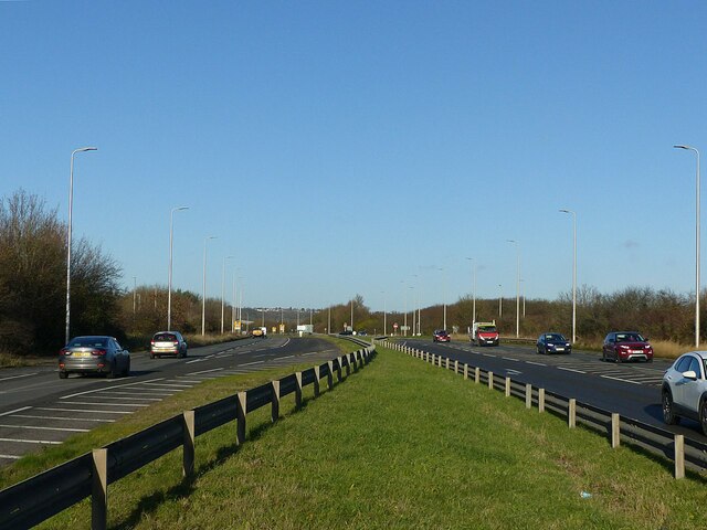
Transport links in West Bridgford are excellent, with regular bus services connecting the town to Nottingham city center and surrounding areas. There are also convenient road links, including the A52 and A60, providing easy access to major cities like Derby and Leicester.

Overall, West Bridgford is a desirable and welcoming town, blending a suburban atmosphere with excellent amenities and close proximity to the vibrant city of Nottingham.

If you have any feedback on the listing, please let us know in the comments section below.

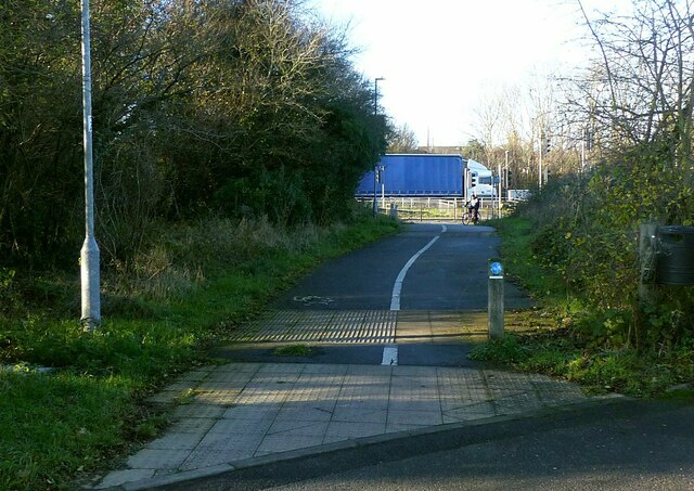
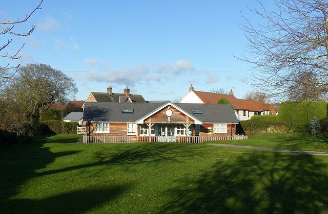
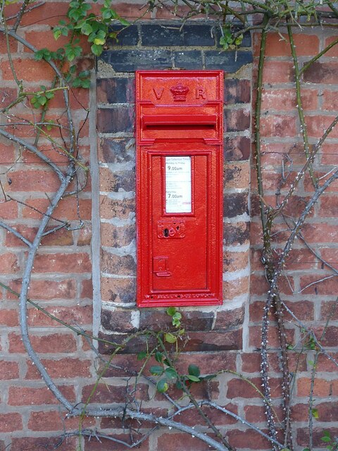
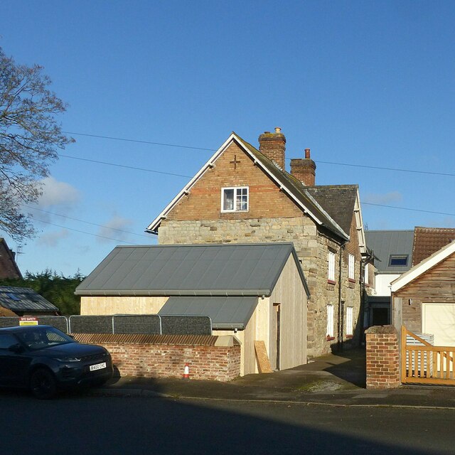
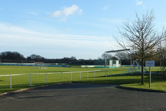
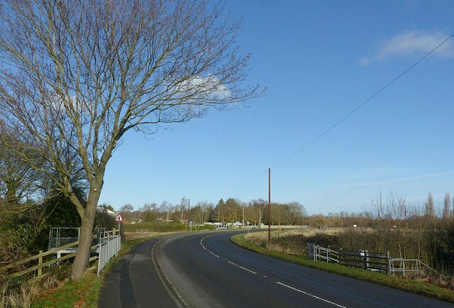
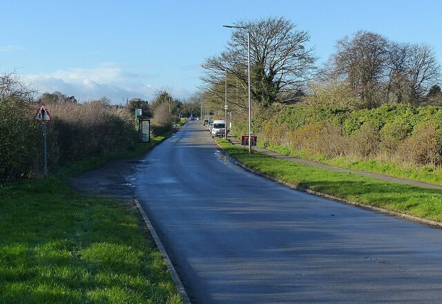
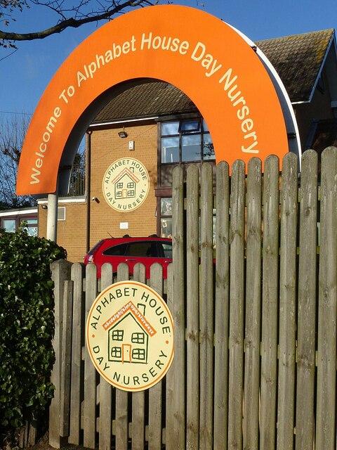
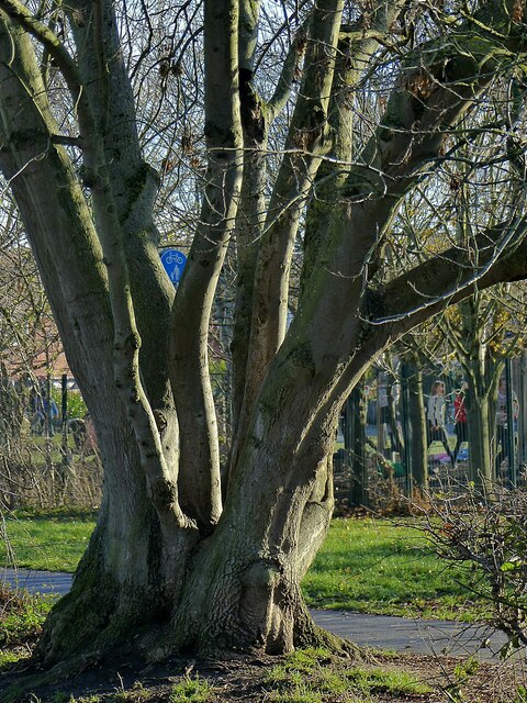
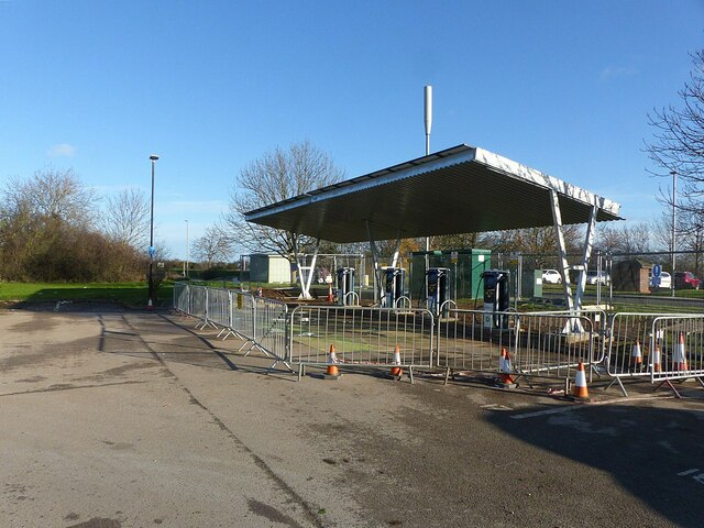
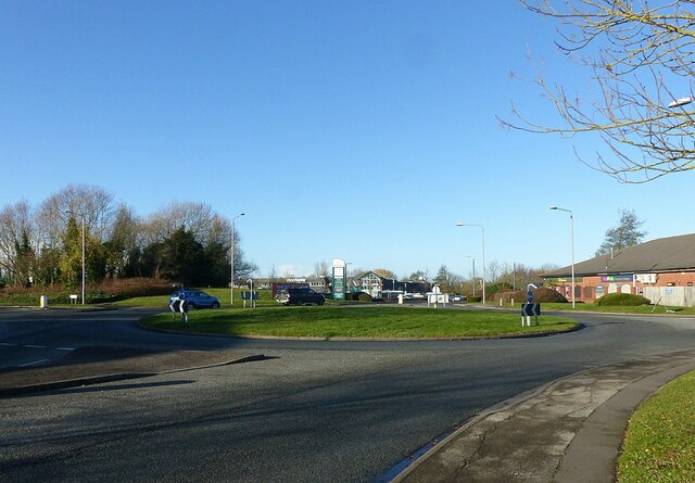
West Bridgford Images

Images are sourced within 2km of 52.925828/-1.126783 or Grid Reference SK5836. Thanks to Geograph Open Source API. All images are credited.

Gamston Cycleway
Gamston Cycleway
Old Tollerton Road The heart of the small village of Gamston before the late 20th century housing estate was developed.
Old Tollerton Road
The heart of the small village of Gamston before the late 20th century housing estate was developed.
Telephone kiosk and fingerpost As with many such kiosks, it has been taken over by the parish council, in this instance as an information centre. The fingerpost is a traditional Nottinghamshire County Council style.
Telephone kiosk and fingerpost
As with many such kiosks, it has been taken over by the parish council, in this instance as an information centre. The fingerpost is a traditional Nottinghamshire County Council style.
Gamston Village Hall Timber building set in an attractive green.
Gamston Village Hall
Timber building set in an attractive green.
Gamston Village postbox, ref NG2 38 Standard VR wall box with wider mouth in typical projecting brickwork of the period.
Gamston Village postbox, ref NG2 38
Standard VR wall box with wider mouth in typical projecting brickwork of the period.
Hall Farmhouse, Gamston Brick and stone farmhouse dating from the 18th and 19th centuries, Listed Grade II.
Hall Farmhouse, Gamston
Brick and stone farmhouse dating from the 18th and 19th centuries, Listed Grade II.
Manor Farmhouse, Gamston An attractive early 19th century house, long divorced from any farming activity.
Manor Farmhouse, Gamston
An attractive early 19th century house, long divorced from any farming activity.
Stone circle, Gamston Nothing ancient about this; it forms part of the Ambleside Play Park.
Stone circle, Gamston
Nothing ancient about this; it forms part of the Ambleside Play Park.
Not a Raging Bull Timber sculpture in the Ambleside Play Park, Gamston.
Not a Raging Bull
Timber sculpture in the Ambleside Play Park, Gamston.
Regatta Way, West Bridgford The island provides a crossing point for the cycle route which changes sides at this point.
Regatta Way, West Bridgford
The island provides a crossing point for the cycle route which changes sides at this point.
Regatta Way Sports Club, West Bridgford A sign at the entrance shows that it is home to Gedling & Sherwood Cricket Club, West Bridgford Colts FC and Gedling Colliery Cricket Club and the Gamston Cricket Academy. There are three separate football grounds and two cricket grounds.
Regatta Way Sports Club, West Bridgford
A sign at the entrance shows that it is home to Gedling & Sherwood Cricket Club, West Bridgford Colts FC and Gedling Colliery Cricket Club and the Gamston Cricket Academy. There are three separate football grounds and two cricket grounds.
Regatta Way, West Bridgford Looking towards the junction with Adbolton Lane.
Regatta Way, West Bridgford
Looking towards the junction with Adbolton Lane.
Not the '25th Nottingham Marathon' Recreating this 'First' for the square <a title="https://www.geograph.org.uk/photo/51943" href="https://www.geograph.org.uk/photo/51943">Link</a> . The bus stop has been re-sited and provided with a shelter.
Not the '25th Nottingham Marathon'
Recreating this 'First' for the square Link . The bus stop has been re-sited and provided with a shelter.
'What I tell you three times is true' Following the dictum of the Bellman in Lewis Carroll's 'The Hunting of the Snark', this must be the Alphabet House Day Nursery.
'What I tell you three times is true'
Following the dictum of the Bellman in Lewis Carroll's 'The Hunting of the Snark', this must be the Alphabet House Day Nursery.
Ash tree alongside the Grantham Canal This looks to have regrown from the stump of a tree felled many years ago.
Ash tree alongside the Grantham Canal
This looks to have regrown from the stump of a tree felled many years ago.
New electric car charging point, Gamston retail centre Nearly ready to go into service.
New electric car charging point, Gamston retail centre
Nearly ready to go into service.
Roundabout at Beckside and Ambleside Also the entrance to the Morrison's superstore.
Roundabout at Beckside and Ambleside
Also the entrance to the Morrison's superstore.
A52 Lings Bar Road This was the final section of the A52 Nottingham southern ring road to be built.
A52 Lings Bar Road
This was the final section of the A52 Nottingham southern ring road to be built.
Show me another place!

West Bridgford is located at Grid Ref: SK5836 (Lat: 52.925828, Lng: -1.126783)

Administrative County: Nottinghamshire

District: Rushcliffe

Police Authority: Nottinghamshire

What 3 Words

///cans.return.tips. Near West Bridgford, Nottinghamshire

Related Wikis

West Bridgford

West Bridgford () is a town and the administrative centre of the Borough of Rushcliffe, part of the city of Nottingham, in the county of Nottinghamshire...

St Giles Church, West Bridgford

St. Giles' Church, West Bridgford is an Anglican parish church in West Bridgford, Nottinghamshire. The church is Grade II listed by the Department for...

West Park, West Bridgford

West Park is a cricket ground in West Bridgford, Nottinghamshire. The ground was constructed by cricket philanthropist Sir Julien Cahn. The first recorded...

Abbey Park, Nottinghamshire

Abbey Park in West Bridgford is a housing estate that was constructed in the mid–to–late–70s by Costain Homes on land that were previously uncultivated...

Nearby Amenities

Located within 500m of 52.925828,-1.126783
Crossing
Crossing: uncontrolled
Crossing Island: no
Crossing Ref: zebra
Tactile Paving: yes
Lat/Long: 52.9293397/-1.1252993
Crossing
Crossing: uncontrolled
Lat/Long: 52.9249031/-1.1222968
Give Way
Direction: forward
Lat/Long: 52.9238362/-1.1319478
Give Way
Direction: backward
Lat/Long: 52.9246612/-1.1310797
Traffic Signals
Lat/Long: 52.9286955/-1.1323999
Turning Circle
Lat/Long: 52.9252476/-1.1258029
Turning Circle
Lat/Long: 52.9280327/-1.1269148
Crossing
Crossing: uncontrolled
Lat/Long: 52.92723/-1.1287735
Traffic Calming: table
Lat/Long: 52.9276764/-1.1327523
Bicycle Parking
Capacity: 4
Lat/Long: 52.9291723/-1.1253556
Junction: roundabout
Lat/Long: 52.9225085/-1.1308791
Post Box
Collection Times: Mo-Fr 17:00; Sa 10:00; Su off
Post Box Type: pillar
Ref: NG2 239
Royal Cypher: GR
Royal Cypher Wikidata: Q33102273
Lat/Long: 52.9249123/-1.1208185
Post Box
Collection Times: Mo-Fr 17:30; Sa 10:00; Su off
Post Box Type: pillar
Ref: NG2 217
Royal Cypher: GR
Royal Cypher Wikidata: Q33102273
Source: survey
Lat/Long: 52.9228621/-1.1255878
Fuel
Melton Road Service Station
Addr City: Nottingham
Addr Housenumber: 112
Addr Postcode: NG2 6EP
Addr Street: Melton Road
Brand: Sainsbury's
Brand Wikidata: Q152096
Brand Wikipedia: en:Sainsbury's
Compressed Air: yes
Fuel Diesel: yes
Fuel Octane 95: yes
Old Fhrs Id: 266121
Operator: Sainsbury's
Self Service: yes
Source: survey
Source Addr: FHRS Open Data
Website: https://stores.sainsburys.co.uk/1802/west-bridgford-melton-road-petrol-station
Lat/Long: 52.9273406/-1.1302125
Bus Stop
Kingston Road
Bus: yes
Local Ref: RU0046
Naptan AtcoCode: 3300RU0046
Naptan Bearing: N
Naptan CommonName: Kingston Road
Naptan Crossing: Kingston Road
Naptan Indicator: adj
Naptan NaptanCode: ntsagptp
Naptan Notes: none (This stop renumbered from 3300WB10)
Naptan PlusbusZoneRef: NTNG
Naptan Street: Musters Road
Naptan Verified: yes
Public Transport: platform
Shelter: yes
Source: naptan_import
Lat/Long: 52.92449/-1.1320392
Bus Stop
South Road
Bus: yes
Local Ref: RU0059
Naptan AtcoCode: 3300RU0059
Naptan Bearing: S
Naptan CommonName: South Road
Naptan Crossing: South Road
Naptan Indicator: opp
Naptan NaptanCode: ntsajpja
Naptan Notes: none (This stop renumbered from 3300WB06)
Naptan PlusbusZoneRef: NTNG
Naptan Street: Musters Road
Naptan Verified: no
Public Transport: platform
Source: naptan_import
Lat/Long: 52.9269535/-1.1321418
Bus Stop
Melton Road
Bench: no
Bin: no
Bus: yes
Naptan AtcoCode: 3300RU0091
Naptan Bearing: SE
Naptan CommonName: Melton Road
Naptan Crossing: Glebe Road
Naptan Indicator: SE-bound
Naptan NaptanCode: ntsajpdg
Naptan Notes: none (This stop renumbered from 3300WB117)
Naptan PlusbusZoneRef: NTNG
Naptan Street: Melton Road
Naptan Verified: no
Public Transport: platform
Shelter: no
Source: naptan_import
Lat/Long: 52.928244/-1.1315805
Bus Stop
Shops
Bus: yes
Local Ref: RU0092
Naptan AtcoCode: 3300RU0092
Naptan Bearing: NW
Naptan CommonName: Shops
Naptan Indicator: opp
Naptan Landmark: Shops
Naptan NaptanCode: ntsajpdj
Naptan Notes: none (This stop renumbered from 3300WB127)
Naptan PlusbusZoneRef: NTNG
Naptan Street: Melton Road
Naptan Verified: yes
Public Transport: platform
Shelter: no
Source: naptan_import
Lat/Long: 52.926911/-1.1293629
Bus Stop
South Road
Bus: yes
Local Ref: RU0103
Naptan AtcoCode: 3300RU0103
Naptan Bearing: N
Naptan CommonName: South Road
Naptan Crossing: South Road
Naptan Indicator: adj
Naptan NaptanCode: ntsdmada
Naptan Notes: none (This stop renumbered from 3300WB11)
Naptan PlusbusZoneRef: NTNG
Naptan Street: Musters Road
Naptan Verified: yes
Public Transport: platform
Shelter: no
Source: naptan_import
Lat/Long: 52.9266755/-1.1322367
Bus Stop
Kingston Road
Bus: yes
Local Ref: RU0105
Naptan AtcoCode: 3300RU0105
Naptan Bearing: S
Naptan CommonName: Kingston Road
Naptan Crossing: Kingston Road
Naptan Indicator: opp
Naptan NaptanCode: ntsdmadj
Naptan Notes: none (This stop renumbered from 3300WB07)
Naptan PlusbusZoneRef: NTNG
Naptan Street: Musters Road
Naptan Verified: yes
Public Transport: platform
Shelter: no
Source: naptan_import
Lat/Long: 52.9241737/-1.1318702
Bus Stop
Exeter Road
Bench: no
Bus: yes
Naptan AtcoCode: 3300RU0202
Naptan Bearing: SE
Naptan CommonName: Exeter Road
Naptan Crossing: Exeter Road
Naptan Indicator: opp
Naptan NaptanCode: ntsdmjmd
Naptan Notes: none (This stop renumbered from 3300WB119)
Naptan PlusbusZoneRef: NTNG
Naptan Street: Melton Road
Naptan Verified: no
Public Transport: platform
Shelter: no
Source: naptan_import
Lat/Long: 52.9246937/-1.1267724
Bus Stop
Mellors Road
Bus: yes
Naptan AtcoCode: 3300RU0208
Naptan Bearing: SE
Naptan CommonName: Mellors Road
Naptan Crossing: Mellors Road
Naptan Indicator: opp
Naptan NaptanCode: ntsajgda
Naptan Notes: none (This stop renumbered from 3300WB120)
Naptan PlusbusZoneRef: NTNG
Naptan Street: Melton Road
Naptan Verified: no
Public Transport: platform
Source: naptan_import
Lat/Long: 52.9227666/-1.1251006
Bus Stop
Exeter Road
Bench: no
Bus: yes
Local Ref: RU0210
Naptan AtcoCode: 3300RU0210
Naptan Bearing: NW
Naptan CommonName: Exeter Road
Naptan Crossing: Exeter Road
Naptan Indicator: adj
Naptan NaptanCode: ntsajgdj
Naptan Notes: none (This stop renumbered from 3300WB125)
Naptan PlusbusZoneRef: NTNG
Naptan Street: Melton Road
Naptan Verified: yes
Public Transport: platform
Shelter: no
Source: naptan_import
Lat/Long: 52.9241705/-1.12653
Bus Stop
Taunton Road
Bus: yes
Local Ref: RU0212
Naptan AtcoCode: 3300RU0212
Naptan Bearing: NW
Naptan CommonName: Taunton Road
Naptan Crossing: Taunton Avenue
Naptan Indicator: adj
Naptan NaptanCode: ntsajgdm
Naptan Notes: none (This stop renumbered from 3300WB126)
Naptan PlusbusZoneRef: NTNG
Naptan Street: Melton Road
Naptan Verified: yes
Public Transport: platform
Shelter: yes
Source: naptan_import
Lat/Long: 52.9255102/-1.1277824
Bus Stop
Shops
Bus: yes
Local Ref: RU0213
Naptan AtcoCode: 3300RU0213
Naptan Bearing: SE
Naptan CommonName: Shops
Naptan Indicator: o/s
Naptan Landmark: Shops
Naptan NaptanCode: ntsdmjmg
Naptan Notes: none (This stop renumbered from 3300WB118)
Naptan PlusbusZoneRef: NTNG
Naptan Street: Melton Road
Naptan Verified: yes
Public Transport: platform
Shelter: no
Source: naptan_import
Lat/Long: 52.9261881/-1.128256
Bus Stop
Mellors Road
Bus: yes
Naptan AtcoCode: 3300RU0218
Naptan Bearing: NW
Naptan CommonName: Mellors Road
Naptan Crossing: Mellors Road
Naptan Indicator: adj
Naptan NaptanCode: ntsdmjmw
Naptan Notes: none (This stop renumbered from 3300WB124)
Naptan PlusbusZoneRef: NTNG
Naptan Street: Melton Road
Naptan Verified: no
Public Transport: platform
Source: naptan_import
Lat/Long: 52.9230124/-1.125527
Bus Stop
Burleigh Road
Bus: yes
Naptan AtcoCode: 3300RU0228
Naptan Bearing: SE
Naptan CommonName: Burleigh Road
Naptan Crossing: Burleigh Road
Naptan Indicator: SE-bound
Naptan NaptanCode: ntsagapd
Naptan Notes: none (This stop renumbered from 3300WB42)
Naptan PlusbusZoneRef: NTNG
Naptan Street: Gordon Road
Naptan Verified: no
Public Transport: platform
Source: naptan_import
Lat/Long: 52.9251465/-1.1223452
Bus Stop
Trevor Road
Bus: yes
Naptan AtcoCode: 3300RU0243
Naptan Bearing: NW
Naptan CommonName: Trevor Road
Naptan Crossing: Stamford Road
Naptan Indicator: NW-bound
Naptan NaptanCode: ntsagdwj
Naptan Notes: none (This stop renumbered from 3300WB36)
Naptan PlusbusZoneRef: NTNG
Naptan Street: Trevor Road
Naptan Verified: no
Public Transport: platform
Source: naptan_import
Lat/Long: 52.9231055/-1.1210775
Bus Stop
Burleigh Road
Bus: yes
Naptan AtcoCode: 3300RU0245
Naptan Bearing: NW
Naptan CommonName: Burleigh Road
Naptan Crossing: Burleigh Road
Naptan Indicator: NW-bound
Naptan NaptanCode: ntsagdwm
Naptan Notes: none (This stop renumbered from 3300WB37)
Naptan PlusbusZoneRef: NTNG
Naptan Street: Gordon Road
Naptan Verified: no
Public Transport: platform
Source: naptan_import
Lat/Long: 52.9250123/-1.1224223
Bus Stop
Gordon Road
Bench: no
Bin: yes
Bus: yes
Lit: yes
Naptan AtcoCode: 3300RU0248
Naptan Bearing: S
Naptan CommonName: Gordon Road
Naptan Crossing: Eltham Road
Naptan Indicator: S-bound
Naptan NaptanCode: ntsagdwt
Naptan Notes: none (This stop renumbered from 3300WB40)
Naptan PlusbusZoneRef: NTNG
Naptan Street: Gordon Road
Naptan Verified: yes
Public Transport: platform
Shelter: no
Source: naptan_import
Tactile Paving: no
Lat/Long: 52.9296641/-1.1253121
Bus Stop
Gordon Road
Bench: no
Bin: no
Bus: yes
Lit: yes
Local Ref: RU0249
Naptan AtcoCode: 3300RU0249
Naptan Bearing: N
Naptan CommonName: Gordon Road
Naptan Crossing: Gordon Sqaure
Naptan Indicator: N-bound
Naptan NaptanCode: ntsagjad
Naptan Notes: none (This stop renumbered from 3300WB39)
Naptan PlusbusZoneRef: NTNG
Naptan Street: Gordon Road
Naptan Verified: yes
Public Transport: platform
Shelter: no
Source: naptan_import
Tactile Paving: no
Lat/Long: 52.9296223/-1.1254441
Bus Stop
Ethel Road
Bus: yes
Naptan AtcoCode: 3300RU0250
Naptan Bearing: NW
Naptan CommonName: Ethel Road
Naptan Crossing: Ethel Road
Naptan Indicator: adj
Naptan NaptanCode: ntsagjag
Naptan Notes: (This stop renumbered from 3300WB38)
Naptan PlusbusZoneRef: NTNG
Naptan Street: Gordon Road
Naptan Verified: yes
Public Transport: platform
Shelter: yes
Source: naptan_import
Lat/Long: 52.9278906/-1.1238518
Bus Stop
Ethel Road
Bus: yes
Naptan AtcoCode: 3300RU0251
Naptan Bearing: SE
Naptan CommonName: Ethel Road
Naptan Crossing: Ethel Road
Naptan Indicator: opp
Naptan NaptanCode: ntsagjaj
Naptan Notes: none (This stop renumbered from 3300WB41)
Naptan PlusbusZoneRef: NTNG
Naptan Street: Gordon Road
Naptan Verified: no
Public Transport: platform
Source: naptan_import
Lat/Long: 52.9277812/-1.1236457
Bus Stop
Abbey Circus
Bus: yes
Naptan AtcoCode: 3300RU0261
Naptan Bearing: SE
Naptan CommonName: Abbey Circus
Naptan Crossing: Abbey Circus
Naptan Indicator: opp
Naptan NaptanCode: ntsdmjwp
Naptan Notes: BW
Naptan PlusbusZoneRef: NTNG
Naptan Street: Abbey Road
Naptan Verified: no
Public Transport: platform
Source: naptan_import
Lat/Long: 52.9279396/-1.1207565
Bus Stop
Abbey Circus
Bus: yes
Naptan AtcoCode: 3300RU0724
Naptan Bearing: NW
Naptan BusStopType: CUS
Naptan CommonName: Abbey Circus
Naptan Crossing: Abbey Circus
Naptan Indicator: adj
Naptan NaptanCode: ntsgjwad
Naptan Notes: 3300RU0261
Naptan PlusbusZoneRef: NTNG
Naptan Street: Abbey Road
Naptan Verified: no
Public Transport: platform
Source: naptan_import
Lat/Long: 52.9279859/-1.120934
Addr Housenumber: 155
Source: survey
Lat/Long: 52.9216562/-1.1239963
Addr Housenumber: 14
Source: survey
Lat/Long: 52.921868/-1.1249074
Addr Housenumber: 10
Source: survey
Lat/Long: 52.9218214/-1.1250791
Entrance: main
Step Count: 1
Lat/Long: 52.9265266/-1.1284835
Entrance: main
Lat/Long: 52.9275749/-1.124858
Addr City: Nottingham
Addr Housenumber: 40
Addr Postcode: NG2 5LN
Addr Street: Gordon Road
Addr Suburb: West Bridgford
Old Fhrs Id: 1149568;1350158;1472379
Old Name: Marigold
Old Name 2: Swirls
Old Name 3: Tuk Tuk Indian Street Food
Shop: vacant
Lat/Long: 52.9292584/-1.1255797
One Stop
Addr City: Nottingham
Addr Housenumber: 6-7
Addr Postcode: NG2 5LP
Addr Street: Gordon Square
Brand: One Stop
Brand Wikidata: Q65954217
Contact Website: https://www.onestop.co.uk/store?store=fde44277-5390-4c84-a07a-d4f9ffd5c9d6
Fhrs Id: 1667065
Shop: convenience
Source Addr: FHRS Open Data
Lat/Long: 52.9289403/-1.1250627
Warrens Barber Shop
Addr Street: Gordon Square
Shop: hairdresser
Lat/Long: 52.9291444/-1.1255609
Restaurant
Istanbul BBQ Kitchen
Addr City: Nottingham
Addr Housenumber: 3
Addr Postcode: NG2 5LP
Addr Street: Gordon Square
Cuisine: turkish
Fhrs Id: 1500504
Old Name: Bridgford Chippy
Source Addr: FHRS Open Data
Lat/Long: 52.9290935/-1.1255596
Cook
Addr Housenumber: 42
Addr Postcode: NG2 5LN
Addr Street: Gordon Road
Fhrs Id: 706152
Fixme: Not really sure of the tagging, sells home made ready meals and desserts made from high quality ingrediants, generally low in calories too
Shop: health_food
Source Addr: FHRS Open Data
Website: https://www.cookfood.net/
Lat/Long: 52.9292156/-1.1255757
Johns Opticians
Addr City: Nottingham
Addr Housenumber: 34
Addr Postcode: NG2 5LN
Addr Street: Gordon Road
Shop: optician
Source Addr: interpolation
Lat/Long: 52.9294569/-1.1255931
Bench
Backrest: no
Lat/Long: 52.9291836/-1.1253075
Perfection Asthetics
Addr City: Nottingham
Addr Housenumber: 32
Addr Postcode: NG2 5LN
Addr Street: Gordon Road
Beauty: nails
Old Name: Mystique Nail Bar
Shop: beauty
Source Addr: interpolation
Lat/Long: 52.9294956/-1.1256012
Fast Food
Gandhi
Addr City: Nottingham
Addr Housenumber: 36
Addr Postcode: NG2 5LN
Addr Street: Gordon Road
Cuisine: indian
Fhrs Id: 266278
Source Addr: FHRS Open Data
Lat/Long: 52.9294035/-1.1255831
Fast Food
The Big Bamboo
Addr City: Nottingham
Addr Housenumber: 38
Addr Postcode: NG2 5LN
Addr Street: Gordon Road
Cuisine: chinese
Fhrs Id: 266071
Source Addr: FHRS Open Data
Lat/Long: 52.9293566/-1.1255817
Cafe
Økende
Addr City: Nottingham
Addr Housenumber: 22
Addr Postcode: NG2 5LN
Addr Street: Gordon Road
Cuisine: coffee_shop
Fhrs Id: 1075968;1369015
Old Name: Flower Scene
Source Addr: interpolation
Lat/Long: 52.9299033/-1.1256155
Save the Children
Addr City: Nottingham
Addr Housenumber: 24
Addr Postcode: NG2 5LN
Addr Street: Gordon Road
Brand: Save the Children
Brand Wikidata: Q215934
Brand Wikipedia: en:Save the Children
Shop: charity
Source Addr: interpolation
Lat/Long: 52.9298248/-1.1255963
Restaurant
Uchi
Addr City: Nottingham
Addr Housenumber: 26
Addr Postcode: NG2 5LN
Addr Street: Gordon Road
Cuisine: japanese
Fhrs Id: 1383432
Old Amenity: fast_food
Old Cuisine: chinese
Old Fhrs Id: 265855
Old Name: The Orient
Shop: vacant
Source Addr: FHRS Open Data
Website: https://uchiwestbridgford.co.uk/
Lat/Long: 52.929745/-1.1255764
Age UK
Addr City: Nottingham
Addr Housenumber: 28
Addr Postcode: NG2 5LN
Addr Street: Gordon Road
Brand: Age UK
Brand Wikidata: Q4691850
Brand Wikipedia: en:Age UK
Shop: charity
Source Addr: interpolation
Lat/Long: 52.9296532/-1.1256038
Fast Food
Doughnotts
Addr City: Nottingham
Addr Housenumber: 16
Addr Postcode: NG2 5LN
Addr Street: Gordon Road
Fhrs Id: 1640448
Old Name: West Bridgford Local News Shop
Old Name 2: OkendeProvisions
Old Shop: newsagent
Source Addr: FHRS Open Data
Lat/Long: 52.9300759/-1.125594
Fast Food
Bombay Sweet Centre
Addr City: Nottingham
Addr Housenumber: 18
Addr Postcode: NG2 5LN
Addr Street: Gordon Road
Addr Suburb: West Bridgford
Fhrs Id: 1640260
Old Name: Topknot
Source Addr: interpolation
Website: https://wb.bombaysweetcentre.co.uk/
Lat/Long: 52.9300242/-1.1255818
Podcura
Addr City: Nottingham
Addr Housenumber: 30
Addr Postcode: NG2 5LN
Addr Street: Gordon Road
Old Name: The Little Shoe Company
Shop: beauty
Source Addr: interpolation
Lat/Long: 52.9296031/-1.1255918
Aquarius Nails and Beauty
Addr City: Nottingham
Addr Housenumber: 20
Addr Postcode: NG2 5LN
Addr Street: Gordon Road
Old Clothes: lingerie
Old Name: Jolie Lingerie
Shop: beauty
Source Addr: interpolation
Lat/Long: 52.9299446/-1.1256249
The Children's Air Ambulance
Addr Housenumber: 14
Addr Street: Gordon Road
Opening Hours: Mo-Sa 09:00-17:00; Su 10:00-16:00
Shop: charity
Source Addr: survey
Lat/Long: 52.9301868/-1.1255931
Crossing
Crossing: traffic_signals
Crossing Ref: toucan
Lat/Long: 52.925969/-1.1281532
Bicycle Parking
Bicycle Parking: stands
Capacity: 4
Covered: no
Lat/Long: 52.9296249/-1.1252672
Bicycle Parking
Bicycle Parking: stands
Capacity: 4
Check Date Capacity: 2022-11-02
Covered: no
Lat/Long: 52.9294084/-1.1254605
Bicycle Parking
Bicycle Parking: stands
Capacity: 4
Covered: no
Lat/Long: 52.9300566/-1.1255034
Bicycle Parking
Bicycle Parking: stands
Capacity: 4
Covered: no
Lat/Long: 52.9290277/-1.1252341
Bicycle Parking
Capacity: 4
Lat/Long: 52.9290658/-1.1253595
Barrier: cycle_barrier
Lat/Long: 52.9249919/-1.1236726
Barrier: cycle_barrier
Lat/Long: 52.9247463/-1.1235163
Gordan Square
Check Date: 2022-11-02
Information: board
Tourism: information
Lat/Long: 52.9291444/-1.1253957
Entrance: main
Step Count: 2
Lat/Long: 52.9269106/-1.1289376
Entrance: main
Lat/Long: 52.9266449/-1.1286187
Bicycle Parking
Bicycle Parking: stands
Capacity: 4
Covered: no
Lat/Long: 52.9291065/-1.1254103
Entrance: main
Lat/Long: 52.9267494/-1.1287441
Addr City: Nottingham
Addr Housenumber: 100
Addr Postcode: NG2 6EP
Addr Street: Melton Road
Addr Suburb: West Bridgford
Disused Amenity: restaurant
Old Fhrs Id: 265976
Old Name: Signature Steakhouse
Old Phone: +44 115 981 6249
Old Website: http://www.signaturesteakhouse.co.uk/
Source Postcode: Food Hygiene Open Data
Wheelchair: yes
Wheelchair Description: Flat, street level. Very helpful staff. Easy seating.
Lat/Long: 52.9275407/-1.1303655
Crossing
Crossing: uncontrolled
Crossing Ref: zebra
Source: Bing
Lat/Long: 52.9272507/-1.1296973
Post Box
Collection Times: Mo-Fr 17:30; Sa 12:00; Su off
Post Box Design: type_a
Post Box Type: pillar
Ref: NG2 189
Royal Cypher: EIIR
Royal Cypher Wikidata: Q33102113
Lat/Long: 52.9267335/-1.1288733
Post Box
Collection Times: Mo-Fr 09:00; Sa 07:00; Su off
Post Box Type: pillar
Ref: NG2 228D
Royal Cypher: EIIR
Royal Cypher Wikidata: Q33102113
Lat/Long: 52.9247269/-1.1317945
The Nail Boutique
Addr Housenumber: 33
Addr Street: Gordon Road
Beauty: nails
Shop: beauty
Lat/Long: 52.929677/-1.1251571
Hair Tech & Co
Level: 1
Old Name: Hello Gorgeous
Old Name 2: Lavenders
Phone: +44 115 783 2289
Shop: beauty
Lat/Long: 52.92918/-1.1255734
Addr Street: Gordon Road
Level: 1
Office: estate_agent
Old Name: Belvoir!
Old Name 2: Davis and Co Property
Shop: vacant
Lat/Long: 52.9297844/-1.1255905
The Barber's Lounge
Addr Street: Gordon Road
Shop: hairdresser
Lat/Long: 52.9296435/-1.1251582
Entrance: main
Lat/Long: 52.9272274/-1.130338
Entrance: main
Lat/Long: 52.9276381/-1.1299323
Entrance: main
Lat/Long: 52.9278094/-1.1302459
Entrance: main
Lat/Long: 52.9276737/-1.1299995
Entrance: main
Lat/Long: 52.9277288/-1.1301053
Entrance: main
Lat/Long: 52.9275431/-1.12979
Entrance: main
Lat/Long: 52.9275721/-1.1298308
Entrance: main
Lat/Long: 52.9269107/-1.1295506
Entrance: main
Lat/Long: 52.926997/-1.1296252
Entrance: main
Lat/Long: 52.9272196/-1.1298777
Entrance: main
Lat/Long: 52.927314/-1.1294891
Entrance: main
Step Count: 3
Lat/Long: 52.9272426/-1.129401
Entrance: main
Lat/Long: 52.9271779/-1.1298351
Entrance: main
Lat/Long: 52.9275105/-1.1297459
Entrance: main
Lat/Long: 52.927382/-1.1295773
Entrance: main
Lat/Long: 52.9270971/-1.1297205
Ernest Smith
Addr Street: Melton Road
Craft: stonemason
Shop: gravestone
Lat/Long: 52.9267502/-1.1293739
Style Lounge
Addr Street: Melton Road
Shop: hairdresser
Lat/Long: 52.9267802/-1.1294022
Entrance: main
Lat/Long: 52.926798/-1.1288025
Hair Matters
Level: 1
Shop: hairdresser
Lat/Long: 52.9268674/-1.1287987
Entrance: main
Lat/Long: 52.9267167/-1.1287056
Entrance: main
Lat/Long: 52.9264044/-1.1283725
Entrance: main
Step Count: 1
Lat/Long: 52.9268456/-1.1288586
Entrance: main
Lat/Long: 52.9264668/-1.1284277
Anokhi
Addr City: Nottingham
Addr Housenumber: 21
Addr Postcode: NG2 5LL
Addr Street: Gordon Road
Shop: beauty
Source: survey
Source Addr: Companies House Registered Companies
Website: https://www.anokhibeauty.co.uk/
Lat/Long: 52.9301267/-1.1251431
Claire Elizabeth
Addr City: Nottingham
Addr Housenumber: 128
Addr Postcode: NG2 6DB
Addr Street: Exchange Road
Fhrs Id: 893799
Shop: confectionery
Website: https://www.claire-elizabeth.co.uk/
Lat/Long: 52.9268496/-1.1247634
Tele-Box
Addr Street: Gordon Road
Electrical Repair: tv
Shop: electrical_repair
Lat/Long: 52.9297083/-1.1251582
Entrance: main
Lat/Long: 52.9267423/-1.128087
Entrance: main
Lat/Long: 52.9275459/-1.124337
Addr Housenumber: 144
Addr Street: Musters Road
Source: survey
Lat/Long: 52.9278518/-1.1326125
Addr Housenumber: 10
Addr Street: Chaworth Road
Source: survey
Lat/Long: 52.9275868/-1.1332938
Addr Housenumber: 20
Addr Street: Chaworth Road
Source: survey
Lat/Long: 52.9274104/-1.1336961
Addr Housenumber: 18
Addr Street: Chaworth Road
Source: survey
Lat/Long: 52.9274461/-1.1336371
Addr Housenumber: 12
Addr Street: Chaworth Road
Source: survey
Lat/Long: 52.9275593/-1.1333555
Addr Housenumber: 21
Addr Street: Chaworth Road
Source: extrapolation
Lat/Long: 52.9270144/-1.1339054
Addr Housenumber: 15
Addr Street: Chaworth Road
Source: survey
Lat/Long: 52.9271339/-1.1336315
Addr Housenumber: 4
Addr Street: Chaworth Road
Source: survey
Lat/Long: 52.9277226/-1.1329666
Addr Housenumber: 5
Addr Street: Chaworth Road
Source: survey
Lat/Long: 52.9273167/-1.1332402
Addr Housenumber: 14
Addr Street: Chaworth Road
Source: survey
Lat/Long: 52.9275188/-1.1334708
Addr Housenumber: 7
Addr Street: Chaworth Road
Source: survey
Lat/Long: 52.9272811/-1.133326
Addr Housenumber: 8
Addr Street: Chaworth Road
Source: survey
Lat/Long: 52.9276417/-1.1331731
Addr Housenumber: 16
Addr Street: Chaworth Road
Source: survey
Lat/Long: 52.927493/-1.1335352
Addr Housenumber: 13
Addr Street: Chaworth Road
Source: survey
Lat/Long: 52.927168/-1.1335567
Addr Housenumber: 2
Addr Street: Chaworth Road
Source: survey
Lat/Long: 52.927742/-1.1328834
Addr Housenumber: 23
Addr Street: Chaworth Road
Source: extrapolation
Lat/Long: 52.9269966/-1.1339831
Addr Housenumber: 3
Addr Street: Chaworth Road
Source: survey
Lat/Long: 52.9273603/-1.1331382
Addr Housenumber: 1
Addr Street: Chaworth Road
Source: survey
Lat/Long: 52.9273911/-1.1330578
Addr Housenumber: 19
Addr Street: Chaworth Road
Source: survey
Lat/Long: 52.9270564/-1.1338088
Addr Housenumber: 6
Addr Street: Chaworth Road
Source: survey
Lat/Long: 52.9276611/-1.1331034
Addr Housenumber: 17
Addr Street: Chaworth Road
Source: survey
Lat/Long: 52.9270887/-1.1337283
Addr Housenumber: 9
Addr Street: Chaworth Road
Source: survey
Lat/Long: 52.9272407/-1.1333984
Addr Housenumber: 11
Addr Street: Chaworth Road
Source: survey
Lat/Long: 52.9272052/-1.1334682
Telephone
Booth: KX100
Source: survey
Lat/Long: 52.9246247/-1.1222389
Entrance: main
Lat/Long: 52.9275406/-1.1319281
Entrance: main
Step Count: 1
Lat/Long: 52.9295393/-1.1306575
Entrance: main
Lat/Long: 52.9295565/-1.1305769
Entrance: yes
Lat/Long: 52.9296735/-1.1299944
Entrance: yes
Lat/Long: 52.9296845/-1.129943
Crossing
Crossing: uncontrolled
Crossing Island: no
Tactile Paving: no
Lat/Long: 52.9296929/-1.128986
Entrance: main
Lat/Long: 52.9298208/-1.1294046
Longleys
Addr City: Nottingham
Addr Housenumber: 81
Addr Postcode: NG2 6EN
Addr Street: Melton Road
Entrance: office
Office: accountant
Source Addr Postcode: Companies House Registered Companies
Lat/Long: 52.9274632/-1.1296827
Telephone
Booth: KX100
Door: no
Source: survey
Lat/Long: 52.9268573/-1.1290061
Entrance: main
Lat/Long: 52.9270472/-1.1291449
Entrance: main
Lat/Long: 52.9271655/-1.1293071
Entrance: yes
Lat/Long: 52.9275644/-1.1295335
Entrance: main
Lat/Long: 52.9279691/-1.1305239
Intoto
Addr Street: Melton Road
Shop: kitchen
Lat/Long: 52.927673/-1.1306168
Prestige Nursing + Care
Addr City: Nottingham
Addr Housenumber: 100A
Addr Postcode: NG2 6EP
Addr Street: Melton Road
Cqc Location Id: 1-2168220501
Level: 1
Office: nursing_agency
Source Addr: CQC Open Data
Website: https://www.prestige-nursing.co.uk/
Lat/Long: 52.9275453/-1.1305001
Shade
Addr City: Nottingham
Addr Housenumber: 100
Addr Postcode: NG2 6EP
Addr Street: Melton Road
Addr Unit: Suite 2B
Clothes: bridal
Description: "Bridal and occassion wear"
Shop: clothes
Source Addr: survey
Lat/Long: 52.9276213/-1.1305068
Studio 99
Addr City: Nottingham
Addr Housenumber: 99
Addr Postcode: NG2 6ET
Addr Street: Melton Road
Entrance: main
Shop: hairdresser
Source Addr: interpolation
Lat/Long: 52.926552/-1.1283527
Treats
Addr Street: Melton Road
Entrance: main
Shop: beauty
Source: survey
Lat/Long: 52.9269716/-1.1287402
Entrance: main
Lat/Long: 52.9262977/-1.1281282
Entrance: main
Step Count: 1
Lat/Long: 52.9265746/-1.1290466
Advertising: board
Source: survey
Lat/Long: 52.9266232/-1.1286819
Atm
Bank of Ireland
Brand: Bank of Ireland
Brand Wikidata: Q806689
Brand Wikipedia: en:Bank of Ireland
Operator: Bank of Ireland
Operator Wikidata: Q806689
Lat/Long: 52.9267753/-1.1287752
Entrance: service
Lat/Long: 52.926957/-1.1287731
Entrance: main
Lat/Long: 52.9270345/-1.1286235
Entrance: main
Lat/Long: 52.9270683/-1.1284779
Entrance: main
Lat/Long: 52.9270837/-1.1283912
Entrance: yes
Lat/Long: 52.9281813/-1.1319916
Entrance: yes
Lat/Long: 52.9281825/-1.1319538
Entrance: main
Lat/Long: 52.9245485/-1.1308604
Atm
Cash In: no
Source: local knowledge
Lat/Long: 52.9273325/-1.1304855
Traffic Signals
Lat/Long: 52.9283072/-1.1323433
Crossing
Crossing: traffic_signals
Lat/Long: 52.9283406/-1.1323466
Traffic Signals
Lat/Long: 52.928359/-1.1320964
Crossing
Crossing: traffic_signals
Lat/Long: 52.9284609/-1.1321762
Crossing
Crossing: traffic_signals
Lat/Long: 52.9286718/-1.1323957
Crossing
Crossing: traffic_signals
Crossing Ref: toucan
Lat/Long: 52.922105/-1.1247116
Elan Hair & Beauty
Addr Street: Gordon Road
Entrance: main
Level: 1
Old Name: Beyond The Looking Glass
Shop: hairdresser
Lat/Long: 52.9295662/-1.1255755
Inividuals Hair
Entrance: main
Level: 1
Phone: +441159813028
Shop: hairdresser
Website: https://www.individualshair.co.uk/
Lat/Long: 52.9293738/-1.1255236
Travelteer
Shop: travel_agency
Website: https://travelteer.co.uk/
Lat/Long: 52.9296752/-1.1256076
Information: destination_sign
Tourism: information
Lat/Long: 52.9285327/-1.1210542
Generator Method: photovoltaic
Generator Output Electricity: yes
Generator Source: solar
Generator Type: solar_photovoltaic_panel
Location: roof
Power: generator
Lat/Long: 52.9248885/-1.1332785
Generator Method: photovoltaic
Generator Output Electricity: yes
Generator Source: solar
Generator Type: solar_photovoltaic_panel
Location: roof
Power: generator
Lat/Long: 52.9255974/-1.132906
Generator Method: photovoltaic
Generator Output Electricity: yes
Generator Source: solar
Generator Type: solar_photovoltaic_panel
Location: roof
Power: generator
Lat/Long: 52.9247981/-1.13364
Generator Method: photovoltaic
Generator Output Electricity: yes
Generator Source: solar
Generator Type: solar_photovoltaic_panel
Location: roof
Power: generator
Lat/Long: 52.9250109/-1.1326973
Generator Method: photovoltaic
Generator Output Electricity: yes
Generator Source: solar
Generator Type: solar_photovoltaic_panel
Location: roof
Power: generator
Lat/Long: 52.9249781/-1.1328953
Generator Method: photovoltaic
Generator Output Electricity: yes
Generator Source: solar
Generator Type: solar_photovoltaic_panel
Location: roof
Power: generator
Lat/Long: 52.9249227/-1.1330799
Generator Method: photovoltaic
Generator Output Electricity: yes
Generator Source: solar
Generator Type: solar_photovoltaic_panel
Location: roof
Power: generator
Lat/Long: 52.9245688/-1.1338996
Generator Method: photovoltaic
Generator Orientation: S
Generator Output Electricity: yes
Generator Source: solar
Generator Type: solar_photovoltaic_panel
Location: roof
Power: generator
Source: survey
Lat/Long: 52.929211/-1.1311183
Generator Method: photovoltaic
Generator Orientation: SSE
Generator Output Electricity: yes
Generator Source: solar
Generator Type: solar_photovoltaic_panel
Location: roof
Power: generator
Source: survey
Lat/Long: 52.9253898/-1.1284059
Generator Method: photovoltaic
Generator Output Electricity: yes
Generator Source: solar
Generator Type: solar_photovoltaic_panel
Location: roof
Power: generator
Source: survey
Lat/Long: 52.9243715/-1.13072
Addr City: West Bridgford
Addr Housenumber: 5
Addr Street: Tudor Road
Lat/Long: 52.9295333/-1.1270093
Addr City: West Bridgford
Addr Housenumber: 7
Addr Street: Tudor Road
Lat/Long: 52.9294589/-1.127072
Addr City: West Bridgford
Addr Housenumber: 9
Addr Street: Tudor Road
Lat/Long: 52.9293477/-1.1270502
Addr City: West Bridgford
Addr Housenumber: 11
Addr Street: Tudor Road
Lat/Long: 52.929272/-1.1270299
Addr City: West Bridgford
Addr Housenumber: 13
Addr Street: Tudor Road
Lat/Long: 52.9292045/-1.1270072
Addr City: West Bridgford
Addr Housenumber: 15
Addr Street: Tudor Road
Lat/Long: 52.9291411/-1.1269886
Addr City: West Bridgford
Addr Housenumber: 17
Addr Street: Tudor Road
Lat/Long: 52.9290676/-1.1269489
Addr City: West Bridgford
Addr Housenumber: 19
Addr Street: Tudor Road
Lat/Long: 52.9290069/-1.1269075
Upper Cuts
Entrance: main
Level: 1
Shop: hairdresser
Lat/Long: 52.9292848/-1.1255798
Direction: WSW
Generator Method: photovoltaic
Generator Output Electricity: yes
Generator Solar Modules: 10
Generator Source: solar
Generator Type: solar_photovoltaic_panel
Location: roof
Power: generator
Lat/Long: 52.9250241/-1.1251853
Direction: SSE
Generator Method: photovoltaic
Generator Output Electricity: yes
Generator Solar Modules: 14
Generator Source: solar
Generator Type: solar_photovoltaic_panel
Location: roof
Power: generator
Lat/Long: 52.9250313/-1.1259726
Direction: SSE
Generator Method: photovoltaic
Generator Output Electricity: yes
Generator Solar Modules: 6
Generator Source: solar
Generator Type: solar_photovoltaic_panel
Location: roof
Power: generator
Lat/Long: 52.9249077/-1.1286065
Direction: WSW
Generator Method: photovoltaic
Generator Output Electricity: yes
Generator Solar Modules: 10
Generator Source: solar
Generator Type: solar_photovoltaic_panel
Location: roof
Power: generator
Lat/Long: 52.9246153/-1.1275812
Direction: SSE
Generator Method: photovoltaic
Generator Output Electricity: yes
Generator Solar Modules: 12
Generator Source: solar
Generator Type: solar_photovoltaic_panel
Location: roof
Power: generator
Lat/Long: 52.9244106/-1.127703
Direction: SW
Generator Method: photovoltaic
Generator Output Electricity: yes
Generator Solar Modules: 5
Generator Source: solar
Generator Type: solar_photovoltaic_panel
Location: roof
Power: generator
Lat/Long: 52.9273195/-1.1325732
Direction: SE
Generator Method: photovoltaic
Generator Output Electricity: yes
Generator Solar Modules: 10
Generator Source: solar
Generator Type: solar_photovoltaic_panel
Location: roof
Power: generator
Lat/Long: 52.9272967/-1.1326479
Direction: SE
Generator Method: photovoltaic
Generator Output Electricity: yes
Generator Solar Modules: 12
Generator Source: solar
Generator Type: solar_photovoltaic_panel
Location: roof
Power: generator
Lat/Long: 52.9262447/-1.1334834
Direction: SE
Generator Method: photovoltaic
Generator Output Electricity: yes
Generator Solar Modules: 8
Generator Source: solar
Generator Type: solar_photovoltaic_panel
Location: roof
Power: generator
Lat/Long: 52.9261034/-1.1338221
Generator Method: photovoltaic
Generator Output Electricity: yes
Generator Source: solar
Generator Type: solar_photovoltaic_panel
Location: roof
Power: generator
Lat/Long: 52.9243684/-1.1316669
Generator Method: photovoltaic
Generator Output Electricity: yes
Generator Source: solar
Generator Type: solar_photovoltaic_panel
Location: roof
Power: generator
Lat/Long: 52.9248333/-1.1323321
Generator Method: photovoltaic
Generator Output Electricity: yes
Generator Source: solar
Generator Type: solar_photovoltaic_panel
Location: roof
Power: generator
Lat/Long: 52.9246861/-1.1329731
Generator Method: photovoltaic
Generator Output Electricity: yes
Generator Source: solar
Generator Type: solar_photovoltaic_panel
Location: roof
Power: generator
Lat/Long: 52.9243575/-1.1322704
Generator Method: photovoltaic
Generator Output Electricity: yes
Generator Source: solar
Generator Type: solar_photovoltaic_panel
Location: roof
Power: generator
Lat/Long: 52.9244084/-1.132375
Generator Method: photovoltaic
Generator Output Electricity: yes
Generator Source: solar
Generator Type: solar_photovoltaic_panel
Location: roof
Power: generator
Lat/Long: 52.924467/-1.1322597
Generator Method: photovoltaic
Generator Output Electricity: yes
Generator Source: solar
Generator Type: solar_photovoltaic_panel
Location: roof
Power: generator
Lat/Long: 52.9244064/-1.1327901
Generator Method: photovoltaic
Generator Output Electricity: yes
Generator Source: solar
Generator Type: solar_photovoltaic_panel
Location: roof
Power: generator
Lat/Long: 52.9243655/-1.1330073
Generator Method: photovoltaic
Generator Output Electricity: yes
Generator Solar Modules: 8
Generator Source: solar
Generator Type: solar_photovoltaic_panel
Location: roof
Power: generator
Lat/Long: 52.9269887/-1.1339575
Generator Method: photovoltaic
Generator Output Electricity: yes
Generator Solar Modules: 8
Generator Source: solar
Generator Type: solar_photovoltaic_panel
Location: roof
Power: generator
Lat/Long: 52.927114/-1.1335994
Crossing
Crossing: traffic_signals
Lat/Long: 52.9285667/-1.1326454
Crossing
Crossing: traffic_signals
Lat/Long: 52.9283111/-1.1321894
Crossing
Crossing: traffic_signals
Lat/Long: 52.9283877/-1.1321722
Barrier: entrance
Lat/Long: 52.921706/-1.1270467
Barrier: entrance
Lat/Long: 52.9218277/-1.1266262
Generator Method: photovoltaic
Generator Output Electricity: yes
Generator Source: solar
Generator Type: solar_photovoltaic_panel
Location: roof
Power: generator
Lat/Long: 52.9231435/-1.1229055
Generator Method: photovoltaic
Generator Output Electricity: yes
Generator Source: solar
Generator Type: solar_photovoltaic_panel
Location: roof
Power: generator
Lat/Long: 52.9232142/-1.1285307
Generator Method: photovoltaic
Generator Output Electricity: yes
Generator Source: solar
Generator Type: solar_photovoltaic_panel
Location: roof
Power: generator
Lat/Long: 52.9233933/-1.1225219
Generator Method: photovoltaic
Generator Output Electricity: yes
Generator Source: solar
Generator Type: solar_photovoltaic_panel
Location: roof
Power: generator
Lat/Long: 52.9254716/-1.1207865
Crossing
Crossing: uncontrolled
Lat/Long: 52.9274409/-1.1276635
Crossing
Crossing: uncontrolled
Crossing Island: no
Tactile Paving: no
Lat/Long: 52.92847/-1.1282678
Generator Method: photovoltaic
Generator Output Electricity: yes
Generator Source: solar
Generator Type: solar_photovoltaic_panel
Location: roof
Power: generator
Lat/Long: 52.9246473/-1.1258371
Generator Method: photovoltaic
Generator Output Electricity: yes
Generator Source: solar
Generator Type: solar_photovoltaic_panel
Location: roof
Power: generator
Lat/Long: 52.9246182/-1.1257768
Generator Method: photovoltaic
Generator Output Electricity: yes
Generator Source: solar
Generator Type: solar_photovoltaic_panel
Location: roof
Power: generator
Lat/Long: 52.9255957/-1.1287292
Generator Method: photovoltaic
Generator Output Electricity: yes
Generator Source: solar
Generator Type: solar_photovoltaic_panel
Location: roof
Power: generator
Lat/Long: 52.9301804/-1.1279755
Give Way
Direction: forward
Lat/Long: 52.928514/-1.12119
Give Way
Direction: backward
Lat/Long: 52.9268366/-1.1201932
Give Way
Direction: backward
Lat/Long: 52.9226528/-1.1223645
Give Way
Direction: backward
Lat/Long: 52.9224797/-1.1235097
Give Way
Direction: backward
Lat/Long: 52.9283639/-1.1282626
Give Way
Direction: backward
Lat/Long: 52.9281224/-1.1293542
Give Way
Direction: forward
Lat/Long: 52.9281442/-1.1292558
Give Way
Direction: backward
Lat/Long: 52.9271415/-1.1287213
Give Way
Direction: forward
Lat/Long: 52.9276455/-1.125992
Give Way
Direction: backward
Lat/Long: 52.9272683/-1.124894
Crossing
Crossing: uncontrolled
Lat/Long: 52.9236964/-1.1318756
Give Way
Direction: backward
Lat/Long: 52.9294873/-1.123151
Give Way
Direction: backward
Lat/Long: 52.9275035/-1.1248958
Give Way
Direction: forward
Lat/Long: 52.924554/-1.12468
Give Way
Direction: forward
Lat/Long: 52.9246396/-1.1235223
Give Way
Direction: backward
Lat/Long: 52.9249126/-1.1207293
Give Way
Direction: backward
Lat/Long: 52.924855/-1.1205344
Give Way
Direction: backward
Lat/Long: 52.9298892/-1.1262928
Give Way
Direction: forward
Lat/Long: 52.9282617/-1.1226629
Camera Mount: traffic_signals
Camera Type: dome
Contact Webcam: http://data.nottinghamtravelwise.org.uk/images157.jpg
Man Made: surveillance
Surveillance: public
Surveillance Type: camera
Surveillance Zone: traffic
Lat/Long: 52.928627/-1.1325391
Mychelle Caroline Hair
Addr Street: Gordon Road
Level: 1
Shop: hairdresser
Wheelchair: no
Lat/Long: 52.9296428/-1.1250982
Landlord Direct
Office: estate_agent
Lat/Long: 52.9300817/-1.1251464
Brown's Taxis
Office: taxi
Lat/Long: 52.9301359/-1.1248273
Compressed Air
Access: yes
Lat/Long: 52.9275036/-1.1302288
Addr City: Nottingham
Addr Housenumber: 14
Addr Postcode: NG2 6EX
Addr Street: St Helens Road
Lat/Long: 52.9231903/-1.1280371
Addr City: Nottingham
Addr Housenumber: 12
Addr Postcode: NG2 6EX
Addr Street: St Helens Road
Lat/Long: 52.923103/-1.1279711
Addr City: Nottingham
Addr Housenumber: 18
Addr Postcode: NG2 6EW
Addr Street: Taunton Road
Lat/Long: 52.9246682/-1.1292346
Addr City: Nottingham
Addr Housenumber: 16
Addr Postcode: NG2 6EW
Addr Street: Taunton Road
Lat/Long: 52.9246938/-1.1291426
Addr City: Nottingham
Addr Housenumber: 14
Addr Postcode: NG2 6EW
Addr Street: Taunton Road
Lat/Long: 52.9247317/-1.129024
Addr City: Nottingham
Addr Housenumber: 12
Addr Postcode: NG2 6EW
Addr Street: Taunton Road
Lat/Long: 52.9247589/-1.1289364
Addr City: Nottingham
Addr Housenumber: 10
Addr Postcode: NG2 6EW
Addr Street: Taunton Road
Lat/Long: 52.924808/-1.1288099
Addr City: Nottingham
Addr Housenumber: 8
Addr Postcode: NG2 6EW
Addr Street: Taunton Road
Lat/Long: 52.9248416/-1.1287206
Addr City: Nottingham
Addr Housenumber: 6
Addr Postcode: NG2 6EW
Addr Street: Taunton Road
Lat/Long: 52.924961/-1.1284188
Addr City: Nottingham
Addr Housenumber: 4
Addr Postcode: NG2 6EW
Addr Street: Taunton Road
Lat/Long: 52.9249898/-1.1283242
Addr City: Nottingham
Addr Housenumber: 23
Addr Postcode: NG2 6EW
Addr Street: Taunton Road
Lat/Long: 52.92452/-1.1290467
Addr City: Nottingham
Addr Housenumber: 21
Addr Postcode: NG2 6EW
Addr Street: Taunton Road
Lat/Long: 52.9245407/-1.1289653
Addr City: Nottingham
Addr Housenumber: 19
Addr Postcode: NG2 6EW
Addr Street: Taunton Road
Lat/Long: 52.9245806/-1.1288302
Addr City: Nottingham
Addr Housenumber: 17
Addr Postcode: NG2 6EW
Addr Street: Taunton Road
Lat/Long: 52.9246031/-1.1287502
Addr City: Nottingham
Addr Housenumber: 15
Addr Postcode: NG2 6EW
Addr Street: Taunton Road
Lat/Long: 52.9246446/-1.1286096
Addr City: Nottingham
Addr Housenumber: 13
Addr Postcode: NG2 6EW
Addr Street: Taunton Road
Lat/Long: 52.9246746/-1.1285062
Addr City: Nottingham
Addr Housenumber: 11
Addr Postcode: NG2 6EW
Addr Street: Taunton Road
Lat/Long: 52.9247136/-1.1283972
Addr City: Nottingham
Addr Housenumber: 9
Addr Postcode: NG2 6EW
Addr Street: Taunton Road
Lat/Long: 52.9247386/-1.1283104
Addr City: Nottingham
Addr Housenumber: 7
Addr Postcode: NG2 6EW
Addr Street: Taunton Road
Lat/Long: 52.9247859/-1.1281711
Addr City: Nottingham
Addr Housenumber: 7
Addr Postcode: NG2 6EW
Addr Street: Taunton Road
Lat/Long: 52.9248125/-1.1280842
Addr City: Nottingham
Addr Housenumber: 3
Addr Postcode: NG2 6EW
Addr Street: Taunton Road
Lat/Long: 52.9248487/-1.1279666
Addr City: Nottingham
Addr Housenumber: 1
Addr Postcode: NG2 6EW
Addr Street: Taunton Road
Lat/Long: 52.9248812/-1.1278772
Addr City: Nottingham
Addr Housenumber: 14
Addr Postcode: NG2 6FA
Addr Street: Exeter Road
Lat/Long: 52.9242139/-1.1283651
Addr City: Nottingham
Addr Housenumber: 12
Addr Postcode: NG2 6FA
Addr Street: Exeter Road
Lat/Long: 52.9242474/-1.1282173
Addr City: Nottingham
Addr Housenumber: 10
Addr Postcode: NG2 6FA
Addr Street: Exeter Road
Lat/Long: 52.9242751/-1.1281174
Addr City: Nottingham
Addr Housenumber: 8
Addr Postcode: NG2 6FA
Addr Street: Exeter Road
Lat/Long: 52.9243172/-1.1279736
Addr City: Nottingham
Addr Housenumber: 6
Addr Postcode: NG2 6FA
Addr Street: Exeter Road
Lat/Long: 52.9243507/-1.1278544
Addr City: Nottingham
Addr Housenumber: 4
Addr Postcode: NG2 6FA
Addr Street: Exeter Road
Lat/Long: 52.9243884/-1.127714
Addr City: Nottingham
Addr Housenumber: 2
Addr Postcode: NG2 6FA
Addr Street: Exeter Road
Lat/Long: 52.9244199/-1.1276007
Addr City: Nottingham
Addr Housenumber: 16
Addr Postcode: NG2 6FA
Addr Street: Exeter Road
Lat/Long: 52.9241864/-1.128465
Addr City: Nottingham
Addr Housenumber: 1
Addr Postcode: NG2 6FA
Addr Street: Exeter Road
Lat/Long: 52.9242695/-1.1273782
Addr City: Nottingham
Addr Housenumber: 3
Addr Postcode: NG2 6FA
Addr Street: Exeter Road
Lat/Long: 52.9242479/-1.1274679
Addr City: Nottingham
Addr Housenumber: 5
Addr Postcode: NG2 6FA
Addr Street: Exeter Road
Lat/Long: 52.9242163/-1.1275906
Addr City: Nottingham
Addr Housenumber: 7
Addr Postcode: NG2 6FA
Addr Street: Exeter Road
Lat/Long: 52.9241939/-1.127694
Addr City: Nottingham
Addr Housenumber: 2
Addr Postcode: NG2 6EZ
Addr Street: Willoughby Road
Lat/Long: 52.9240848/-1.1279671
Addr City: Nottingham
Addr Housenumber: 4
Addr Postcode: NG2 6EZ
Addr Street: Willoughby Road
Lat/Long: 52.9240348/-1.1279296
Addr City: Nottingham
Addr Housenumber: 6
Addr Postcode: NG2 6EZ
Addr Street: Willoughby Road
Lat/Long: 52.9239622/-1.1278755
Addr City: Nottingham
Addr Housenumber: 8
Addr Postcode: NG2 6EZ
Addr Street: Willoughby Road
Lat/Long: 52.9239116/-1.1278401
The data included in this document is from www.openstreetmap.org. The data is made available under ODbL.

Have you been to West Bridgford?

Leave your review of West Bridgford below (or comments, questions and feedback).