Bilney, West
Settlement in Norfolk King's Lynn and West Norfolk
England
Bilney, West
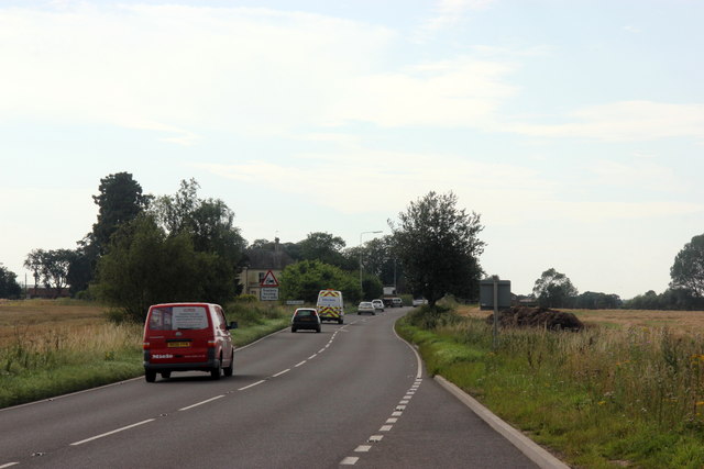
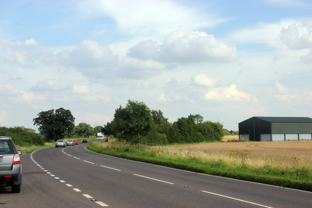
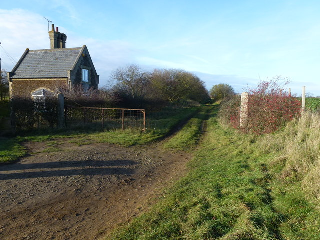
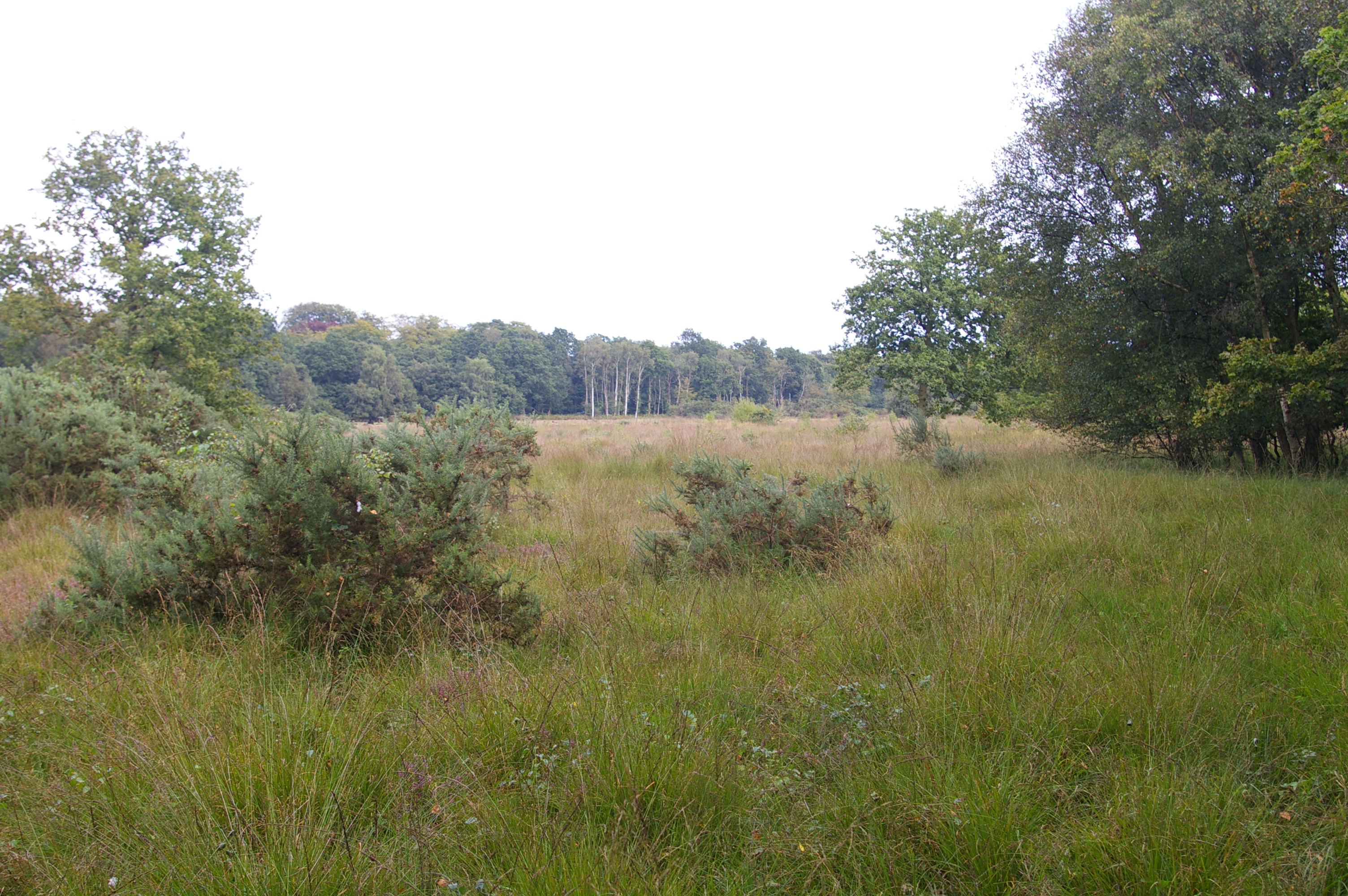
Bilney is a small village located in the West of Norfolk, England. Situated about 11 miles west of the county town of Norwich, it falls within the district of King's Lynn and West Norfolk. Nestled amidst the picturesque Norfolk countryside, Bilney is known for its tranquil and rural setting.
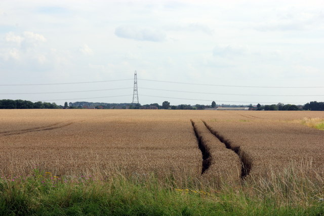
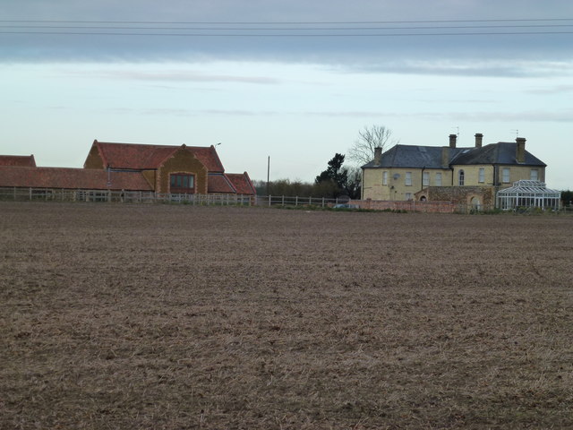
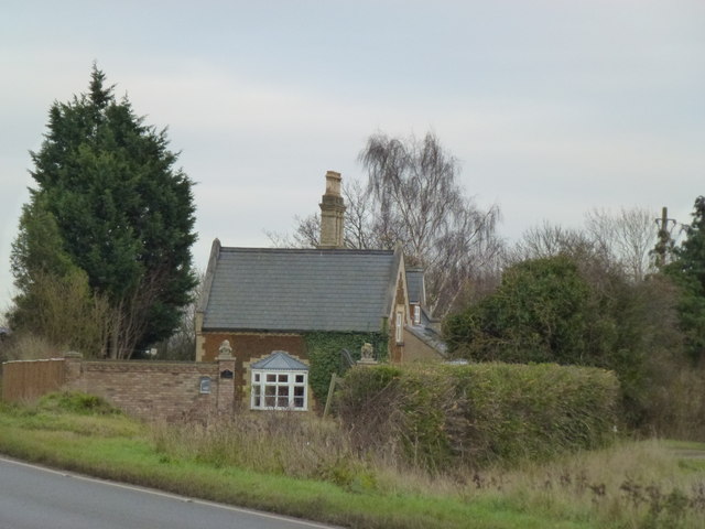
The village has a modest population, with a close-knit community that contributes to its friendly and welcoming atmosphere. Bilney is characterized by its traditional architecture, with charming cottages and farmhouses dotted throughout. The village is surrounded by lush green fields and meadows, creating a serene and idyllic environment.
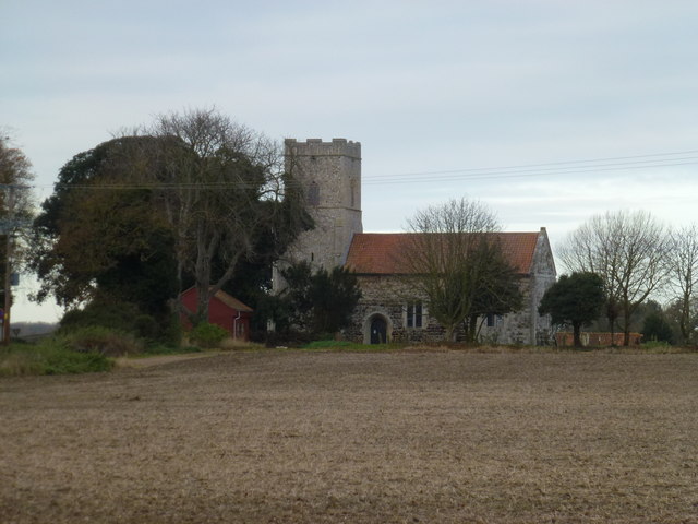
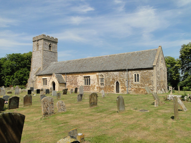
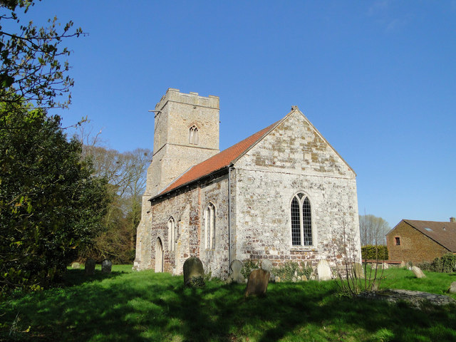
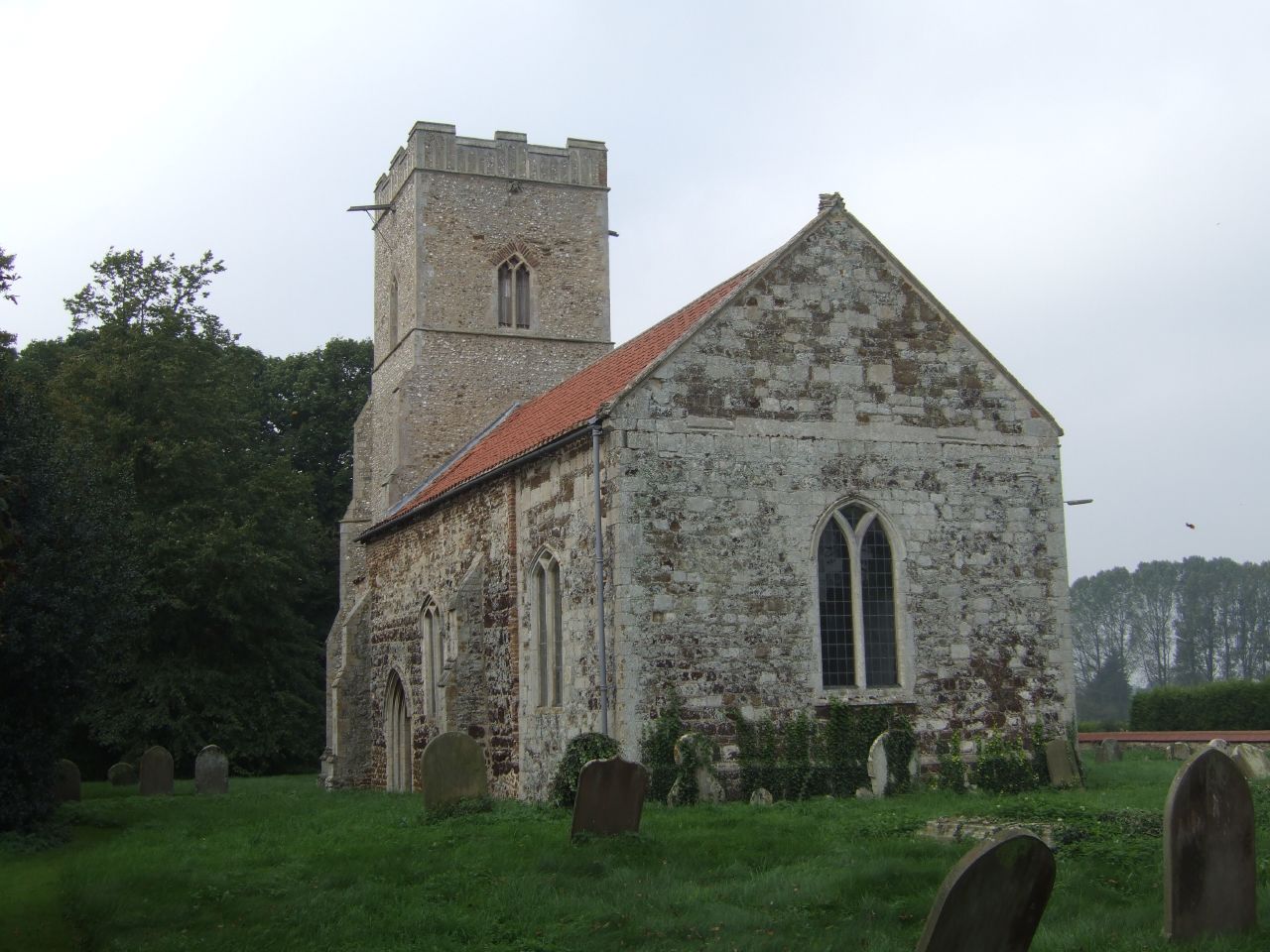
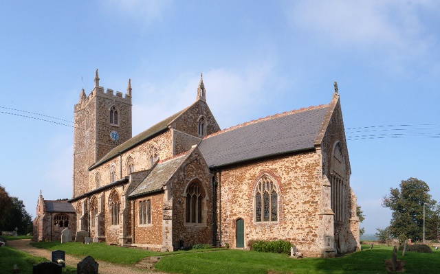
Despite its small size, Bilney offers a few amenities to its residents and visitors. The village boasts a historic church, St. Cecilia's Church, which dates back to the 12th century and adds a touch of historical significance to the area. Additionally, there is a local pub where locals and tourists can enjoy a drink or a meal in a cozy and relaxed setting.
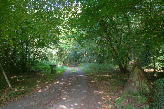
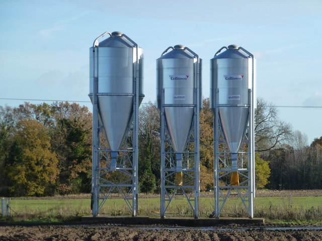
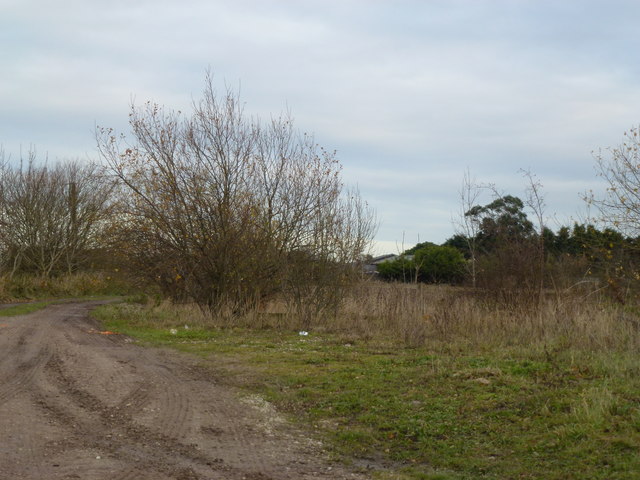
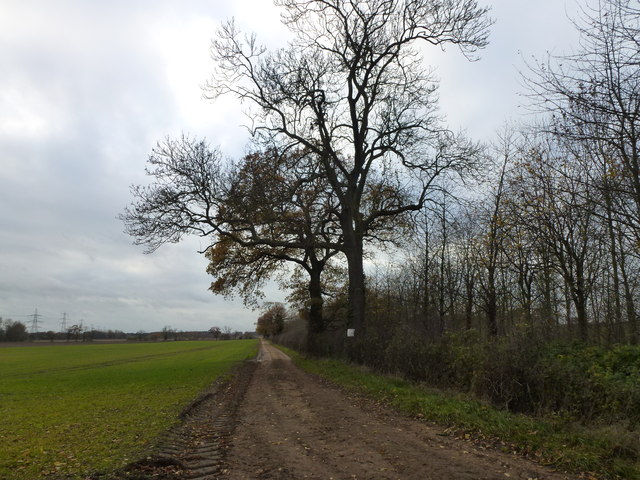
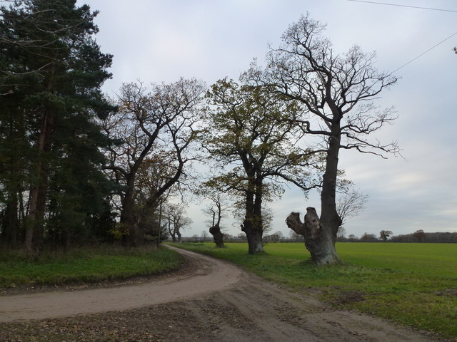
For those seeking outdoor activities, Bilney is an excellent base for exploring the surrounding countryside. The area is crisscrossed by footpaths and bridleways, providing ample opportunities for walking, cycling, and horse riding. Nature enthusiasts can take in the scenic beauty of the Norfolk landscape and may even spot some wildlife along the way.
In conclusion, Bilney is a quintessential English village that offers a peaceful retreat from the hustle and bustle of city life. Its charm lies in its rural character, friendly community, and proximity to the natural beauty of the Norfolk countryside.
If you have any feedback on the listing, please let us know in the comments section below.
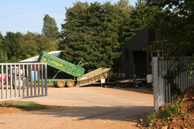
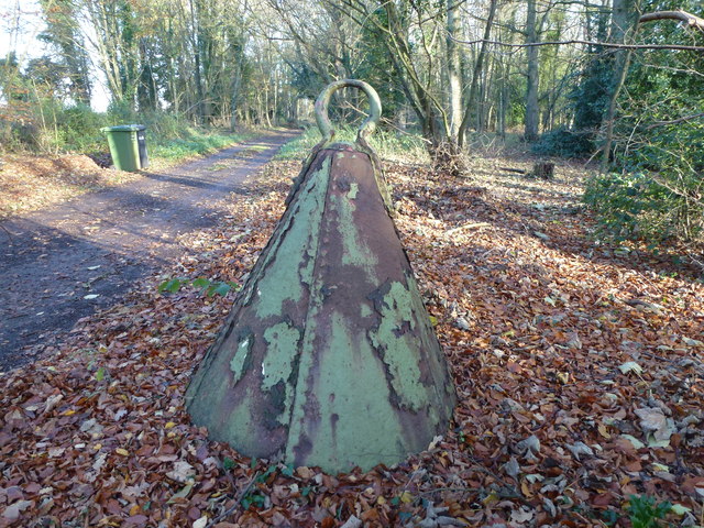
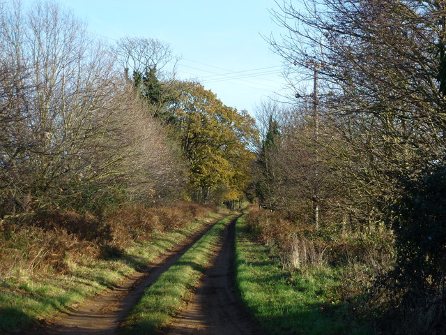
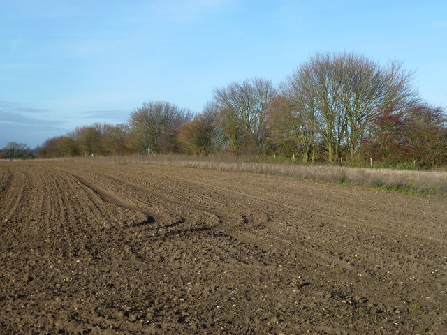
Bilney, West Images
Images are sourced within 2km of 52.708401/0.5387142 or Grid Reference TF7115. Thanks to Geograph Open Source API. All images are credited.
Bilney, West is located at Grid Ref: TF7115 (Lat: 52.708401, Lng: 0.5387142)
Administrative County: Norfolk
District: King's Lynn and West Norfolk
Police Authority: Norfolk
What 3 Words
///dupe.crush.crass. Near Narborough, Norfolk
Nearby Locations
Related Wikis
West Bilney
West Bilney is a village and former civil parish on the A47 road, 32 miles (51 km) west of Norwich, now in the parish of East Winch, in the King's Lynn...

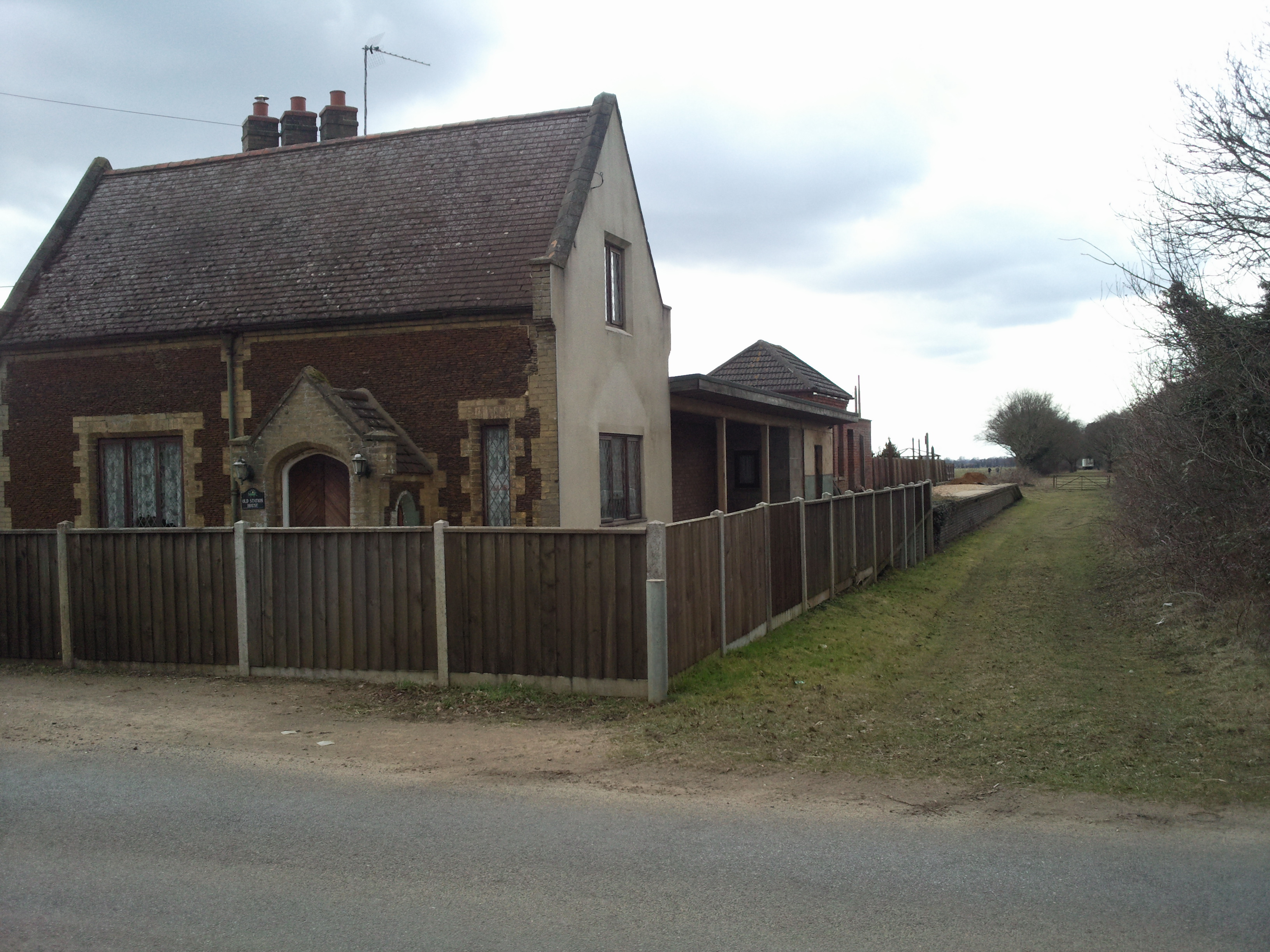
Bilney railway station
Bilney railway station was located on the line between East Winch and Narborough and Pentney. It served the village of West Bilney, and closed in 1866...
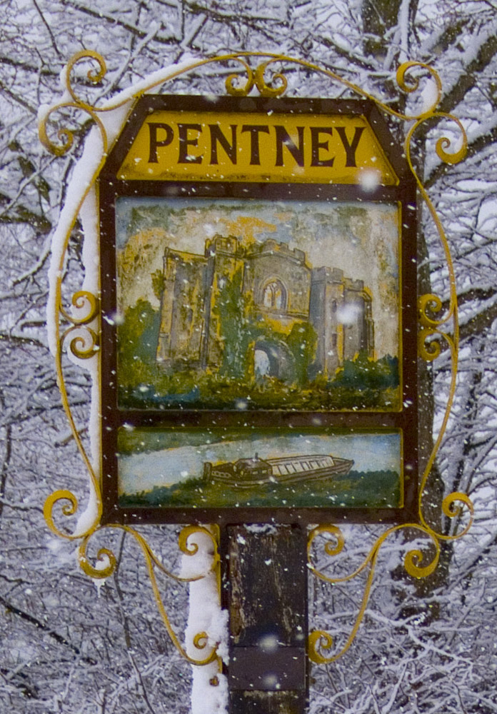
Pentney
Pentney is a village and civil parish in the English county of Norfolk, located about 8 miles (13 km) south east of King's Lynn placing it about halfway...
East Winch Common
East Winch Common is a 26.1-hectare (64-acre) biological Site of Special Scientific Interest south-east of King's Lynn in Norfolk. It is common land and...

East Walton and Adcock's Common
East Walton and Adcock's Common is a 62.4-hectare (154-acre) biological and geological Site of Special Scientific Interest south-east of King's Lynn in...
East Winch railway station
East Winch railway station was at East Winch, Norfolk, England on the line between King's Lynn and Swaffham. It closed in 1968. The signal box from the...
East Winch
East Winch is a village and civil parish in the English county of Norfolk. The village is located 4.9 miles (7.9 km) south-east of King's Lynn and 34 miles...
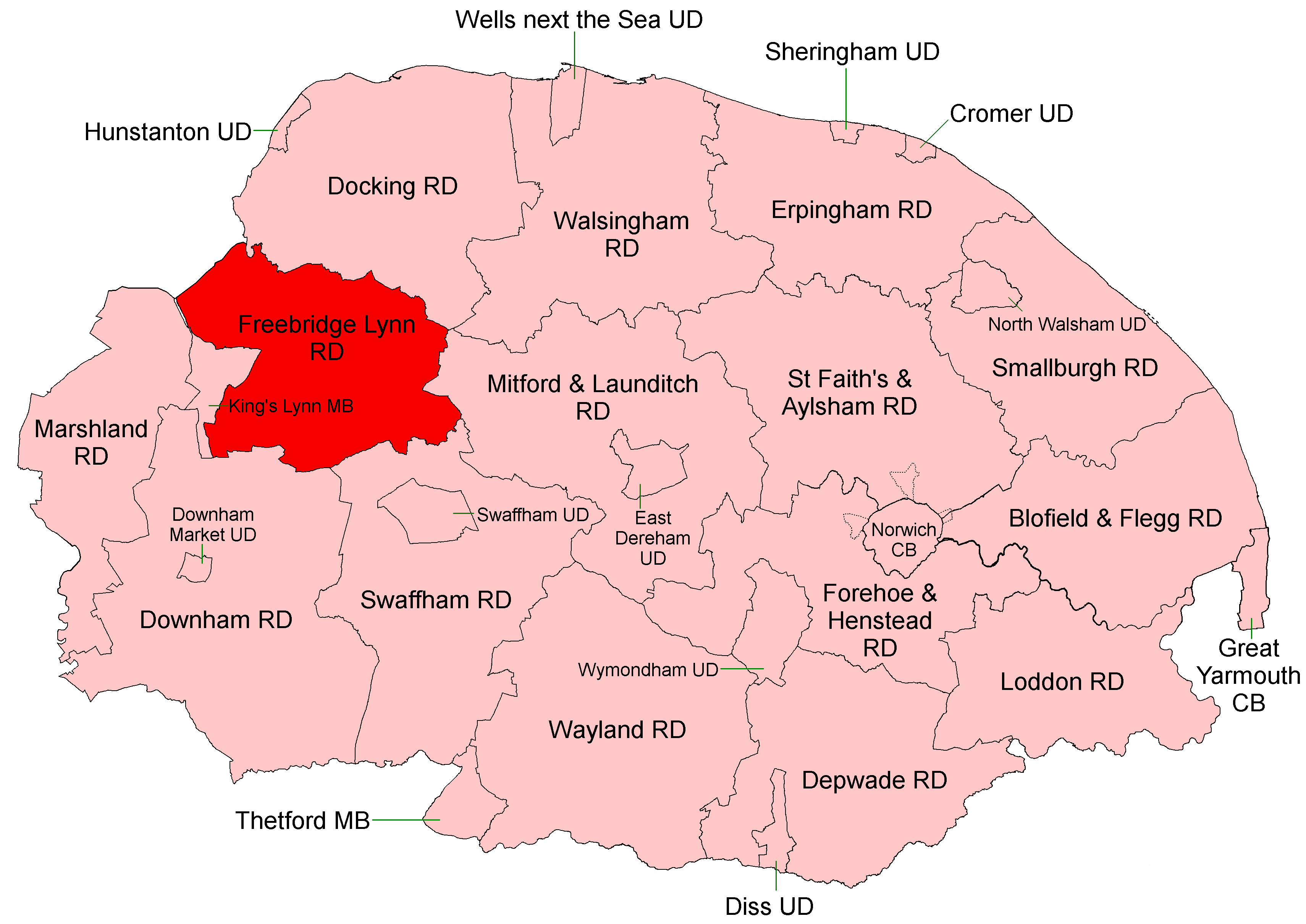
Freebridge Lynn Rural District
Freebridge Lynn Rural District was a rural district in Norfolk, England from 1894 to 1974.It was formed under the Local Government Act 1894 based on the...
Related Videos
Cool stay here! With a amazing BBQ hut in Norfolk.
Amazing new holiday home featuring private hot tub and unique summer house with a BBQ! Dog friendly Children's ...

HOUSE TOUR UK Character Cottage! For Sale £325,000 West Bilney, Norfolk - Longsons Estate Agents.
HOUSE TOUR UK Character Cottage! Lots of Potential. Three bedroom semi-detached house for sale. Offers Over: £325000 West ...
CAMPSITE REVIEW AND EXPLORING CASTLE ACRE
campervanadventures #campsite #campsitereview I stay on abbey farm campsite, review the site and push bike to nearby castle ...
Daytrip in Pentney Lakes. Water ski Banana boat Yoga and many more activities!
Created by InShot:https://inshotapp.com/share/youtube.html.
Nearby Amenities
Located within 500m of 52.708401,0.5387142Have you been to Bilney, West?
Leave your review of Bilney, West below (or comments, questions and feedback).