West Beckham

Settlement in Norfolk North Norfolk

England

West Beckham

Rectory Road
Rectory Road Credit: Hugh Venables

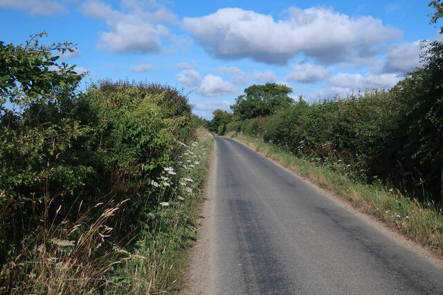
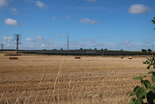
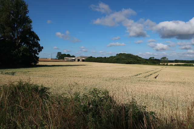
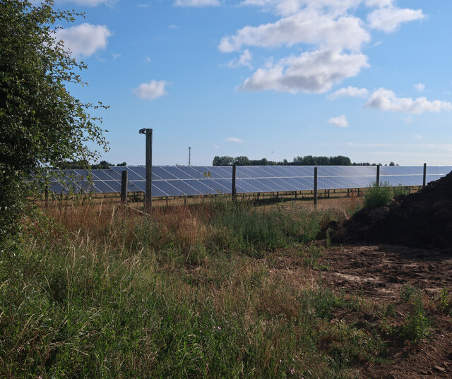
West Beckham is a small village located in the county of Norfolk, England. Situated approximately 3 miles south of the coastal town of Sheringham, West Beckham is part of the North Norfolk District. It is positioned within the scenic countryside, surrounded by rolling hills, farmland, and picturesque landscapes.

The village has a population of around 150 residents and is known for its peaceful and tranquil atmosphere. This rural community offers a close-knit and friendly environment, making it an ideal place for those seeking a quiet and idyllic lifestyle.

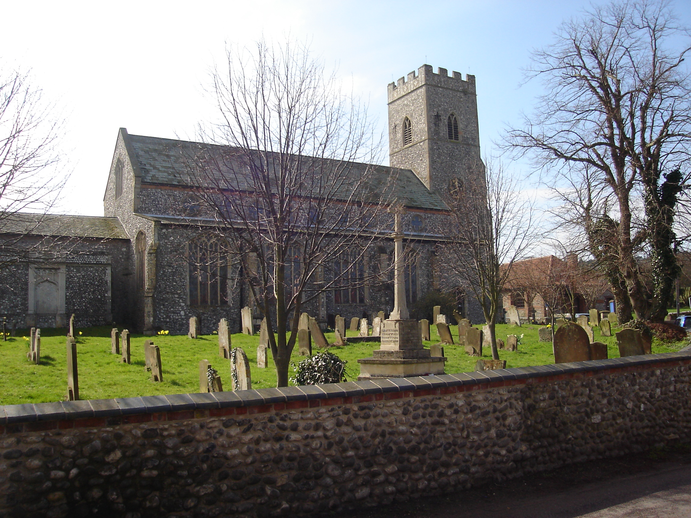
West Beckham is rich in history, with evidence of human habitation dating back to the Roman times. The village is home to several historical landmarks, including St. Helen's Church, a Grade I listed building that dates back to the 14th century. The church features stunning architectural details and serves as a reminder of the village's heritage.

Although relatively small, West Beckham benefits from its proximity to nearby towns and amenities. The village is within easy reach of Sheringham, which offers a range of shops, restaurants, and leisure facilities. The stunning North Norfolk coastline is also easily accessible, providing residents with opportunities for coastal walks, beach visits, and wildlife spotting.

Overall, West Beckham offers a charming and peaceful rural retreat, combining its rich history with a close community spirit and access to nearby amenities. It is a place that appeals to those seeking a slower pace of life and a connection with nature.

If you have any feedback on the listing, please let us know in the comments section below.
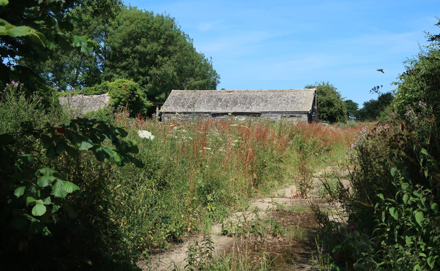
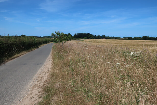
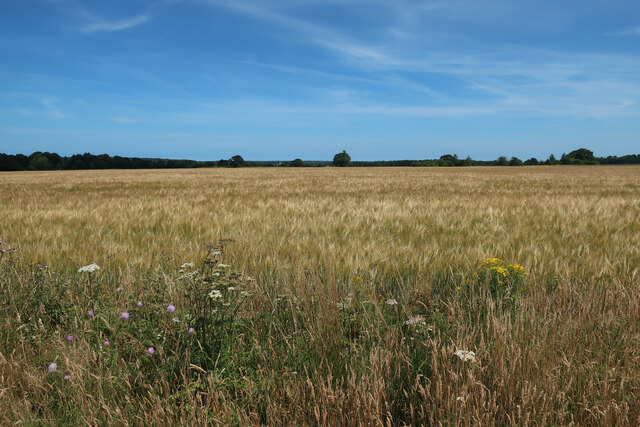
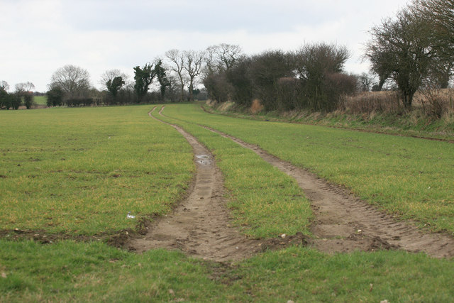
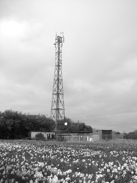
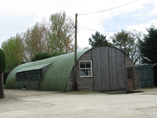
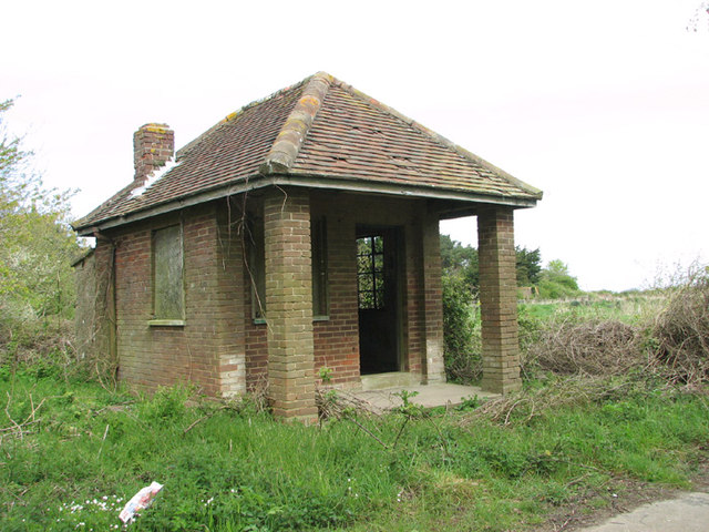
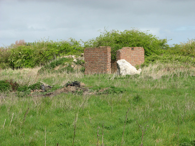
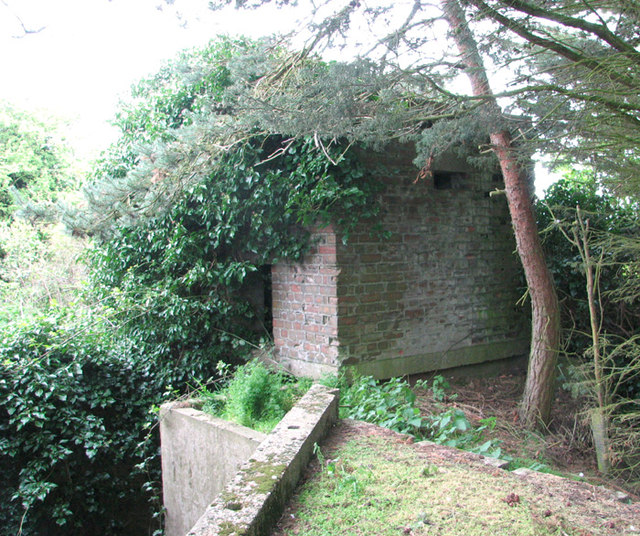
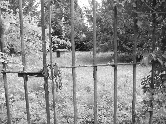
West Beckham Images

Images are sourced within 2km of 52.911774/1.1782684 or Grid Reference TG1339. Thanks to Geograph Open Source API. All images are credited.

Rectory Road
Rectory Road
Solar farm near Bodham Hill
Field by New Road
Field by New Road
Solar farm near Bodham Hill
Buildings by Rectory Road See <a href="https://www.geograph.org.uk/photo/3938108">TG1338 : RAF West Beckham radar station (C Site)</a> for more details.
Buildings by Rectory Road
Road to West Beckham
Barley field near Bodham Hill
Tractor Tracks across the field
Transmitter on the former RAF West Beckham radar station This is a modern mast.
Transmitter on the former RAF West Beckham radar station
This is a modern mast.
Farm building at Bodham Hill
Guardhouse at the entrance to RAF West Beckham (A Site) RAF West Beckham, which had close links with the local fighter station RAF Matlask, was opened in 1938 and comprised a transmitter and receiver site, a generator site and underground reserves. It reported to the filter room at RAF Watnall which was the HQ to No. 12 Group RAF, and the station was originally parented to RAF Bircham Newton, followed by later RAF Wittering and finally RAF Coltishall.

The radar site proper, located at Bodham Hill, was known as A Site.  During World War II the station was commanded by the famous dance band leader Marius B. Winter and because of his background the soldiers based at the camp were very well entertained. A Site was closed in 1956.

There were also two separate camps:  The B Site provided accommodation for the WAAFs and airmen from 1939 to 1946. The B Site, which was also known as "The Marlpit Camp" due to its close proximity to a disused marl pit - now a fishing lake > <a title="https://www.geograph.org.uk/photo/3938061" href="https://www.geograph.org.uk/photo/3938061">Link</a> -  was closed down in 1958.

Site C was home to the Royal Norfolk Regiment in 1940 and in 1941 was used by the Military Police, followed by an RAF regiment from 1942 until 1945. After the war the site went into care and maintenance.

Today the station is privately owned and many of the buildings are still in existence.
Guardhouse at the entrance to RAF West Beckham (A Site)
RAF West Beckham, which had close links with the local fighter station RAF Matlask, was opened in 1938 and comprised a transmitter and receiver site, a generator site and underground reserves. It reported to the filter room at RAF Watnall which was the HQ to No. 12 Group RAF, and the station was originally parented to RAF Bircham Newton, followed by later RAF Wittering and finally RAF Coltishall. The radar site proper, located at Bodham Hill, was known as A Site. During World War II the station was commanded by the famous dance band leader Marius B. Winter and because of his background the soldiers based at the camp were very well entertained. A Site was closed in 1956. There were also two separate camps: The B Site provided accommodation for the WAAFs and airmen from 1939 to 1946. The B Site, which was also known as "The Marlpit Camp" due to its close proximity to a disused marl pit - now a fishing lake > Link - was closed down in 1958. Site C was home to the Royal Norfolk Regiment in 1940 and in 1941 was used by the Military Police, followed by an RAF regiment from 1942 until 1945. After the war the site went into care and maintenance. Today the station is privately owned and many of the buildings are still in existence.
RAF West Beckham radar station (A Site) Remains of the IFF (Identification Friend or Foe) hut.
RAF West Beckham radar station (A Site)
Remains of the IFF (Identification Friend or Foe) hut.
RAF West Beckham radar station (A Site) The overgrown concrete bases of the wooden mast adjacent to the receiver block.
RAF West Beckham radar station (A Site)
The overgrown concrete bases of the wooden mast adjacent to the receiver block.
RAF West Beckham radar station (A Site) Approach to the receiver block.
RAF West Beckham radar station (A Site)
Approach to the receiver block.
RAF West Beckham radar station (A Site) Entrance into the receiver block.
RAF West Beckham radar station (A Site)
Entrance into the receiver block.
RAF West Beckham radar station (A Site) View from the blast wall surrounding the receiver block.
RAF West Beckham radar station (A Site)
View from the blast wall surrounding the receiver block.
RAF West Beckham radar station (A Site) Pillbox located above the entrance/exit of the receiver block. It would appear to have been accessed via a ladder.
RAF West Beckham radar station (A Site)
Pillbox located above the entrance/exit of the receiver block. It would appear to have been accessed via a ladder.
West Beckham ROC post The Royal Observer Corps post on the A Site of the former RAF West Beckham radar station.  The post was set up in 1960 and  closed in 1991. This area is fenced in and inaccessible.
West Beckham ROC post
The Royal Observer Corps post on the A Site of the former RAF West Beckham radar station. The post was set up in 1960 and closed in 1991. This area is fenced in and inaccessible.
Show me another place!

West Beckham is located at Grid Ref: TG1339 (Lat: 52.911774, Lng: 1.1782684)

Administrative County: Norfolk

District: North Norfolk

Police Authority: Norfolk

What 3 Words

///kickbacks.slick.twilight. Near Sheringham, Norfolk

Nearby Locations

Beckham, West West Beckham

Related Wikis

West Beckham

West Beckham is a village and a civil parish in the English county of Norfolk The village is 6.1 miles (9.8 km) west south west of Cromer, 25.3 miles...
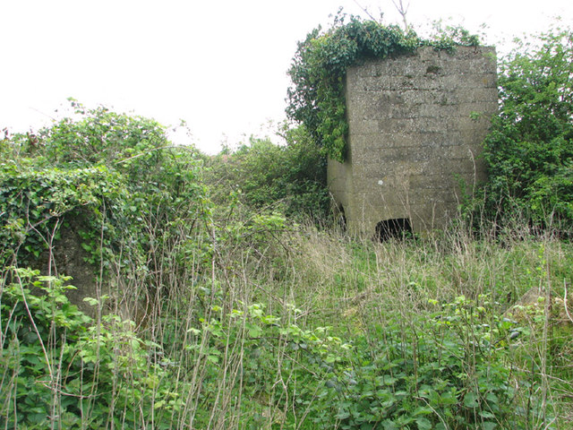
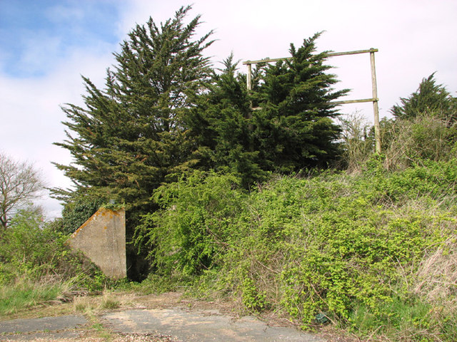
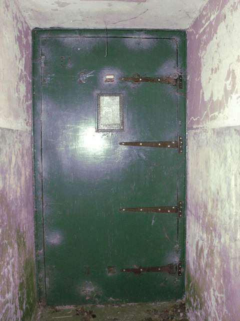
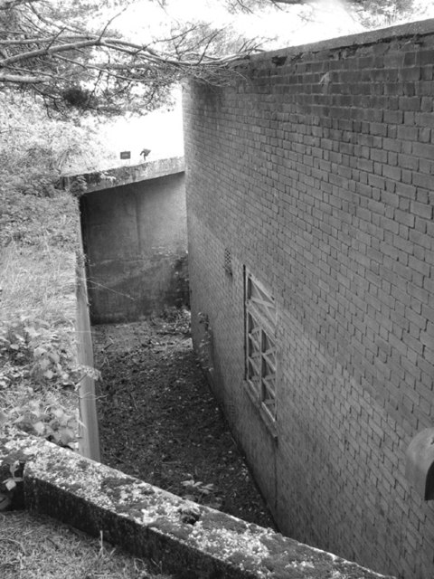
RAF West Beckham

Royal Air Force Station West Beckham, commonly known as RAF West Beckham, is a former Chain Home radar station controlled by the Royal Air Force (RAF)...

Bodham

Bodham is a civil parish in the English county of Norfolk. The village is 27.2 miles north north west of Norwich, 6.4 miles west of Cromer and 131 miles...

Sheringham Park

Sheringham Park is a landscape park and gardens near the town of Sheringham, Norfolk, England. The park surrounds Sheringham Hall, lying mostly to its...
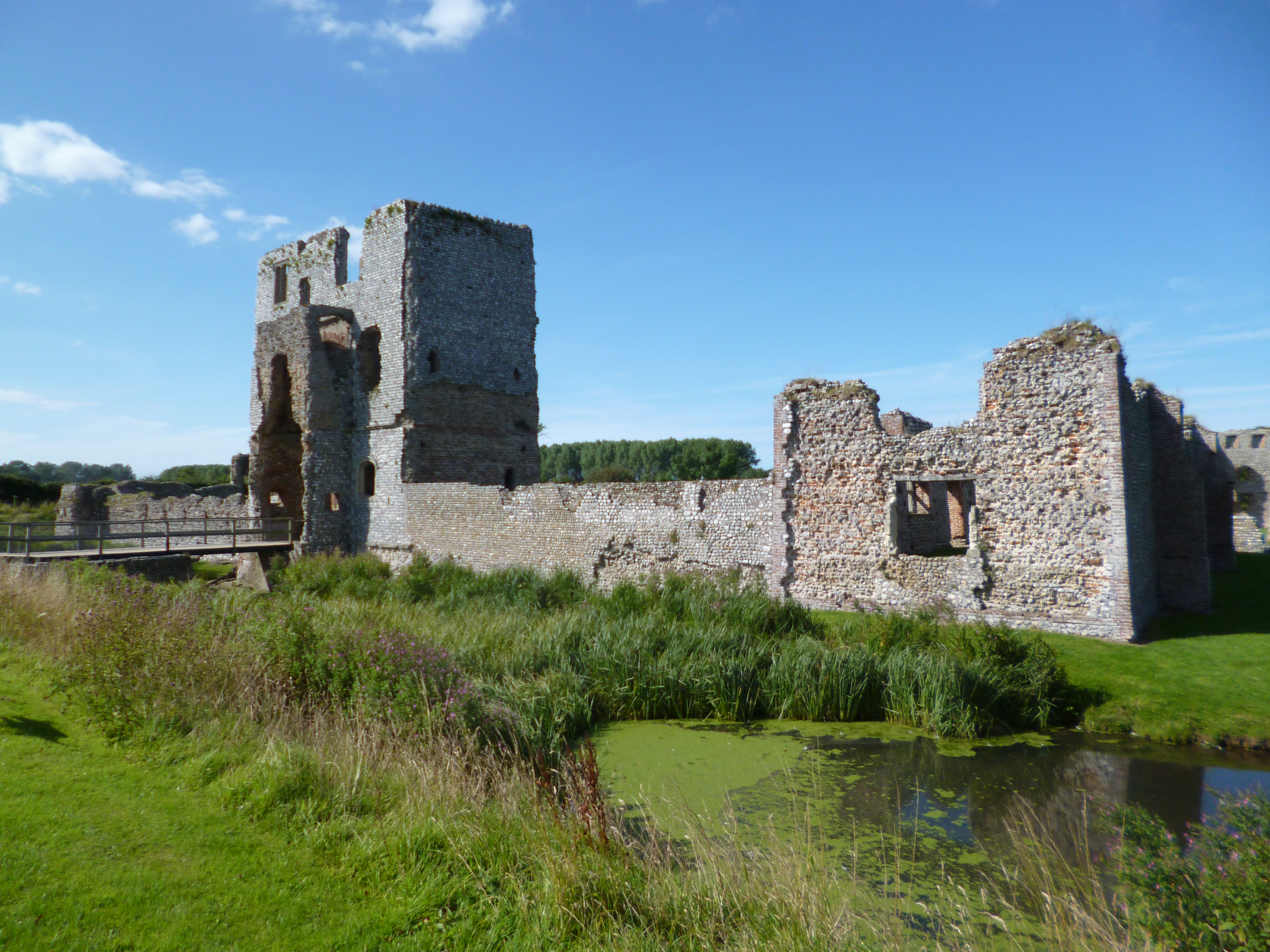
Baconsthorpe Castle

Baconsthorpe Castle, historically known as Baconsthorpe Hall, is a ruined, fortified manor house near the village of Baconsthorpe, Norfolk, England. It...

Upper Sheringham

Upper Sheringham is a village and a civil parish in the English county of Norfolk. The village is 26.8 miles (43.1 km) north-north-west of Norwich, 6...

East Beckham

East Beckham is a village and a civil parish in the English county of Norfolk. The village is 23.4 miles (37.7 km) north of Norwich, 5 miles (8 km) south...

North Norfolk (UK Parliament constituency)

North Norfolk is a constituency represented in the House of Commons of the UK Parliament since 2019 by Duncan Baker, a Conservative. == Constituency... ==

Nearby Amenities

Located within 500m of 52.911774,1.1782684
West Beckham
Place: village
Lat/Long: 52.9115497/1.1811394
The Street, adj
Naptan AtcoCode: 2900B160
Naptan Bearing: E
Naptan BusStopType: CUS
Naptan CommonName: The Street
Naptan Indicator: adj
Naptan Landmark: Wheatsheaf PH
Naptan Locality: West Beckham
Naptan NaptanCode: nfogpdwt
Naptan ShortCommonName: The Street
Naptan Street: The Street
Naptan Verified: no
Source: naptan_import
Lat/Long: 52.9116273/1.1827097
Bus Stop
Wrights Corner
Naptan AtcoCode: 2900B161
Naptan Bearing: E
Naptan CommonName: Wrights Corner
Naptan Indicator: adj
Naptan Landmark: Sheringham Road
Naptan Latitude: 52.9116593
Naptan Locality: West Beckham
Naptan Longitude: 1.1781598
Naptan NaptanCode: nfoadtdp
Naptan ShortCommonName: The Street
Naptan Street: The Street
Source: naptan_import;survey
Lat/Long: 52.9115975/1.1776921
Bus Stop
Wrights Corner
Naptan AtcoCode: 2900B162
Naptan Bearing: W
Naptan BusStopType: CUS
Naptan CommonName: Wrights Corner
Naptan Indicator: opp
Naptan Landmark: Sheringham Road
Naptan Latitude: 52.9115225
Naptan Locality: West Beckham
Naptan Longitude: 1.1778968
Naptan NaptanCode: nfoadtdt
Naptan ShortCommonName: The Street
Naptan Street: The Street
Shelter: yes
Source: naptan_import;survey
Lat/Long: 52.9115383/1.1775472
Give Way
Direction: forward
Lat/Long: 52.9116266/1.1784862
Defibrillator
Access: yes
Booth: KX100
Covered: booth
Defibrillator Location: inside old telephone box in West Beckham
Disused Amenity: telephone
Emergency: defibrillator
Man Made: telephone_box
Lat/Long: 52.9115636/1.17742
Post Box
Collection Times: Mo-Fr 16:30; Sa 08:30
Operator: Royal Mail
Post Box Mounting: wooden_post
Post Box Type: lamp
Ref: NR25 2511
Royal Cypher: EIIR
Royal Cypher Wikidata: Q33102113
Lat/Long: 52.9115354/1.1781013
Chestnut Farm
Place: farm
Lat/Long: 52.9113147/1.1784187
Church Farm
Place: farm
Lat/Long: 52.9117497/1.1850864
Rookery Farm
Capacity: 5
Phone: +44 1263821232
Tourism: camp_site
Lat/Long: 52.9128006/1.1714922
West Beckham
Inscription: 1984 / WI / At the initiative of the Bodham and District WI and by public subscription, this sign was erected in 1984. Designed by Mr Paul Milliard, it depicts the agricultural nature of the village, both ancient and modern. By 1998 the sign was in a
Inscription 2: dangerous condition. It has been rebuilt to its original condition by Mr Ray Smith, a craftsman & parishioner with the funds and encouragement of The Millennium Committee and re-erected in the Millennium year 2000.
Man Made: village_sign
Material: wood;metal
Old Name: Beccheham
Start Date: 2000
Lat/Long: 52.9116631/1.1783263
Give Way
Direction: backward
Lat/Long: 52.9117705/1.1783018
Power: pole
Lat/Long: 52.9075479/1.1757269
Power: pole
Lat/Long: 52.9084426/1.1758444
Power: pole
Lat/Long: 52.9093048/1.1759924
Power: pole
Lat/Long: 52.9101443/1.1761252
Power: pole
Lat/Long: 52.9110075/1.1762664
Power: pole
Lat/Long: 52.9120068/1.1764232
Power: pole
Lat/Long: 52.9129107/1.1765764
Line Management: transition
Power: pole
Lat/Long: 52.9132233/1.1719361
Power: pole
Lat/Long: 52.9137908/1.1766984
Power: pole
Lat/Long: 52.9137985/1.1731072
Power: pole
Lat/Long: 52.914403/1.174315
Power: pole
Lat/Long: 52.9146847/1.1768533
Power: pole
Lat/Long: 52.9150124/1.1755228
Power: pole
Lat/Long: 52.9156135/1.1769708
Power: pole
Lat/Long: 52.9156762/1.1769562
Power: pole
Lat/Long: 52.9157058/1.174928
Power: pole
Lat/Long: 52.9157152/1.1771698
Location Transition: yes
Power: pole
Lat/Long: 52.9157221/1.1774049
Location Transition: yes
Power: pole
Lat/Long: 52.9159186/1.1770707
Fixme: incomplete
Lat/Long: 52.9147282/1.1777901
Power: pole
Lat/Long: 52.9158151/1.1771397
Power: pole
Lat/Long: 52.9155995/1.1773685
Power: pole
Lat/Long: 52.9156355/1.1771726
Power: pole
Lat/Long: 52.9158119/1.1773248
Power: pole
Lat/Long: 52.9158248/1.1774254
Power: pole
Lat/Long: 52.915845/1.1776829
Power: pole
Transformer: distribution
Lat/Long: 52.91582/1.1778089
Location Transition: yes
Power: pole
Lat/Long: 52.9156064/1.1777895
Power: pole
Transformer: distribution
Lat/Long: 52.9157731/1.1781026
Location Transition: yes
Power: pole
Lat/Long: 52.9157156/1.1782488
Power: pole
Lat/Long: 52.9156267/1.1783467
Power: pole
Lat/Long: 52.9156995/1.1783695
Power: pole
Lat/Long: 52.9157536/1.1783843
Power: pole
Lat/Long: 52.9156437/1.1806065
Power: pole
Lat/Long: 52.9157132/1.1806159
Power: pole
Lat/Long: 52.9157803/1.1806279
Power: pole
Transformer: distribution
Lat/Long: 52.9116923/1.1854666
Give Way
Direction: forward
Lat/Long: 52.911537/1.1790492
Give Way
Direction: backward
Lat/Long: 52.9116171/1.1781731
Power: pole
Lat/Long: 52.9158183/1.1771572
Power: pole
Lat/Long: 52.9158264/1.1773516
Location Transition: yes
Power: pole
Lat/Long: 52.9158341/1.1774576
The data included in this document is from www.openstreetmap.org. The data is made available under ODbL.

Have you been to West Beckham?

Leave your review of West Beckham below (or comments, questions and feedback).