West Barnby
Settlement in Yorkshire Scarborough
England
West Barnby
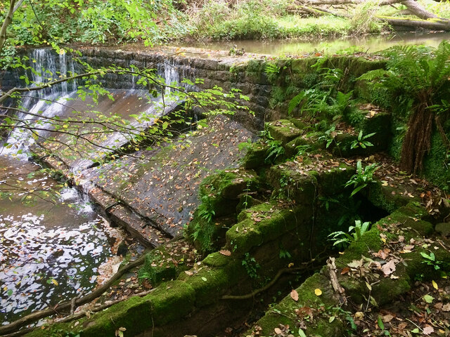
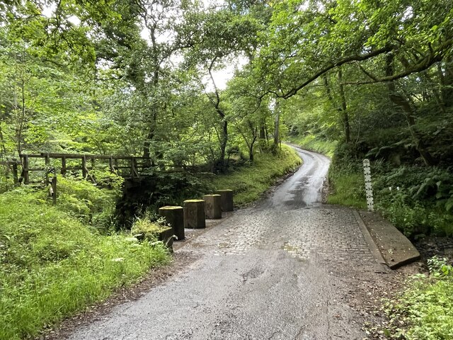
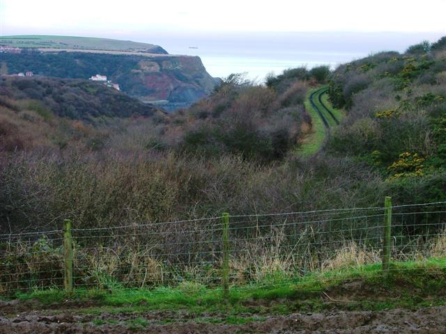
![Foss Castle: a motte and bailey "The monument includes a motte and bailey castle situated at the head of the valley of the Sandsend Beck, overlooking its precipitous gorge from the north side. The Barnby Beck, major tributary of the Sandsend Beck, issues over a series of waterfalls from a slack, while a minor tributary flows in a steep-sided gully along the western edge of the monument; because of its location the castle has good natural defences on its south-western side. The motte is an artificial mound, 50m in diameter at the base and surrounded by an 8m wide, 2m deep ditch. The mound is 4m high, the flat top being 40m in diameter and partially surrounded by a 0.5m high rampart bank. There are various low earthworks on the top of the mound, some of which will contain the foundations of buildings such as the fortified tower which once stood on the motte while other features are the result of a small-scale excavation reported to have been carried out prior to 1817. To the north-east of the motte and running at a tangent to it is a ditch which links the gully of the small stream to the west with the edge of the precipice to the south; the ditch is 5m wide and 1.5m deep at its north-western end but becomes 10m wide and 3m deep at its south-eastern end. The motte is flanked by two enclosures, or baileys. Of these, the northern one is triangular, measuring 60m by 30m across, bounded by the ditch on its north-eastern side and by the steep, 5m high scarp of the east bank of the stream at the west. The southern bailey is larger, measuring 65m long by 40m wide, bounded by the ditch to the north-east and by the precipice to the south and west. The castle was founded in 1072 by Nigel Fossard and abandoned about 1200 when Robert de Turnham built Old Mulgrave Castle, its stone successor, 700m to the east."
Historicengland.org.uk. (2012). Foss Castle: a motte and bailey, precursor to Old Mulgrave Castle, Lythe - 1008286 | Historic England. [online] Available at: <span class="nowrap"><a title="https://historicengland.org.uk/listing/the-list/list-entry/1008286?section=official-listing" rel="nofollow ugc noopener" href="https://historicengland.org.uk/listing/the-list/list-entry/1008286?section=official-listing">Link</a><img style="margin-left:2px;" alt="External link" title="External link - shift click to open in new window" src="https://s1.geograph.org.uk/img/external.png" width="10" height="10"/></span> [Accessed 11 Dec. 2021].](https://s0.geograph.org.uk/geophotos/07/04/10/7041092_6bc75b57.jpg)
West Barnby is a small village located in the county of Yorkshire, England. Situated in the Scarborough district, it lies on the eastern edge of the North York Moors National Park. With a population of around 150 residents, it is a tranquil and close-knit community.
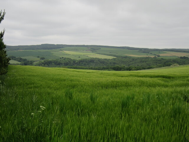
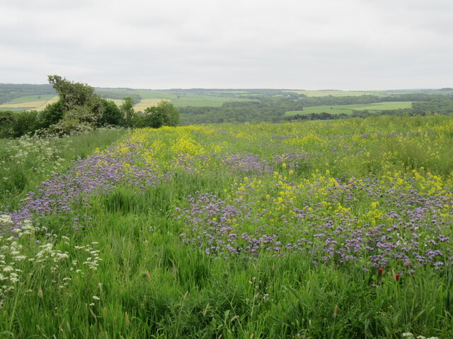
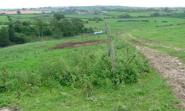
The village features a picturesque setting with rolling hills, lush green fields, and a charming countryside atmosphere. It is surrounded by natural beauty, including the nearby River Esk, which flows through the village, providing a scenic backdrop for residents and visitors alike.
Despite its small size, West Barnby has a rich history. The village is home to St. Hilda's Church, a Grade II listed building that dates back to the 12th century. Its architecture showcases a blend of Norman and Gothic styles, adding to the village's character and heritage.
The village primarily consists of residential properties, with a few small businesses and farms scattered throughout. There are no major amenities or commercial establishments within West Barnby itself, but the nearby towns of Whitby and Scarborough offer a range of services and facilities for its residents.
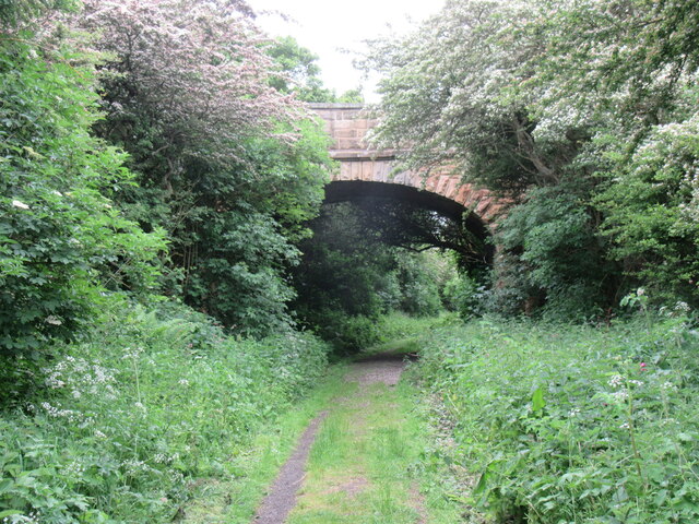
West Barnby is a popular destination for outdoor enthusiasts due to its proximity to the North York Moors National Park. The surrounding area provides ample opportunities for hiking, cycling, and exploring the picturesque landscapes.
Overall, West Barnby is a charming village that offers a peaceful and idyllic setting for those seeking a rural escape in the heart of Yorkshire.
If you have any feedback on the listing, please let us know in the comments section below.
West Barnby Images
Images are sourced within 2km of 54.503311/-0.73598593 or Grid Reference NZ8112. Thanks to Geograph Open Source API. All images are credited.


West Barnby is located at Grid Ref: NZ8112 (Lat: 54.503311, Lng: -0.73598593)
Division: North Riding
Administrative County: North Yorkshire
District: Scarborough
Police Authority: North Yorkshire
What 3 Words
///says.defeated.modem. Near Sleights, North Yorkshire
Nearby Locations
Related Wikis

Barnby, North Yorkshire
Barnby is a civil parish in the Scarborough district of North Yorkshire, England. According to the 2001 UK census, the parish had a population of 79....

RAF Goldsborough
Royal Air Force Goldsborough or more simply RAF Goldsborough is a former Royal Air Force station located in North Yorkshire, England. == History == It...

Mickleby
Mickleby is a village and civil parish in the Scarborough district of North Yorkshire, England. According to the 2011 UK census, Mickleby parish had a...
Goldsborough, Scarborough
Goldsborough is a small hamlet in the civil parish of Lythe, North Yorkshire, England within the North York Moors National Park. It is situated a few miles...
Nearby Amenities
Located within 500m of 54.503311,-0.73598593Have you been to West Barnby?
Leave your review of West Barnby below (or comments, questions and feedback).