West Balgrochan
Settlement in Stirlingshire
Scotland
West Balgrochan

West Balgrochan is a small village located in the Stirlingshire region of Scotland. Situated approximately 4 miles northwest of the town of Kilsyth, it is nestled within the picturesque countryside of central Scotland. The village is part of the larger Balgrochan estate, which includes both West and East Balgrochan.
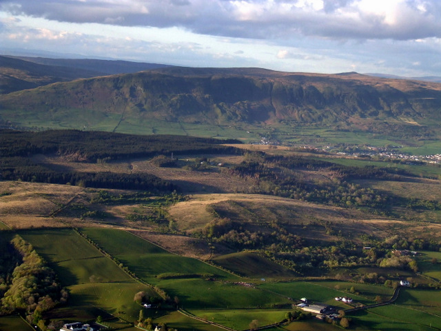
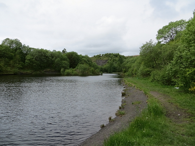
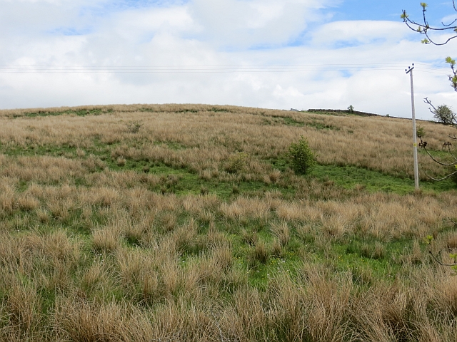
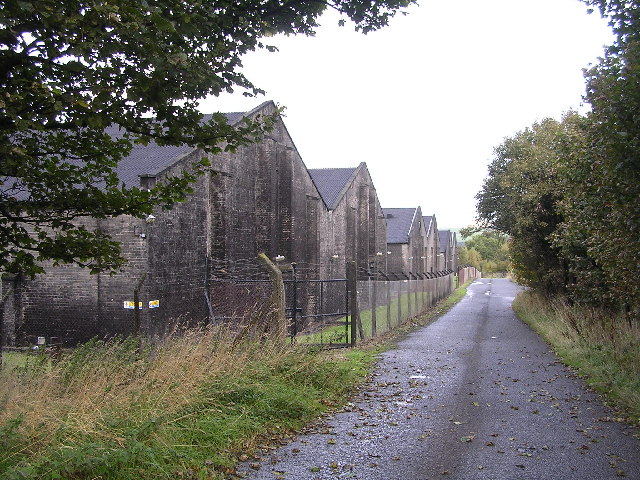
The landscape surrounding West Balgrochan is characterized by rolling hills, lush green fields, and meandering streams. The village itself consists of a cluster of traditional stone houses and cottages, typical of the Scottish rural architecture. The area is known for its serene and tranquil atmosphere, making it an ideal retreat for those seeking peace and quiet away from the hustle and bustle of city life.
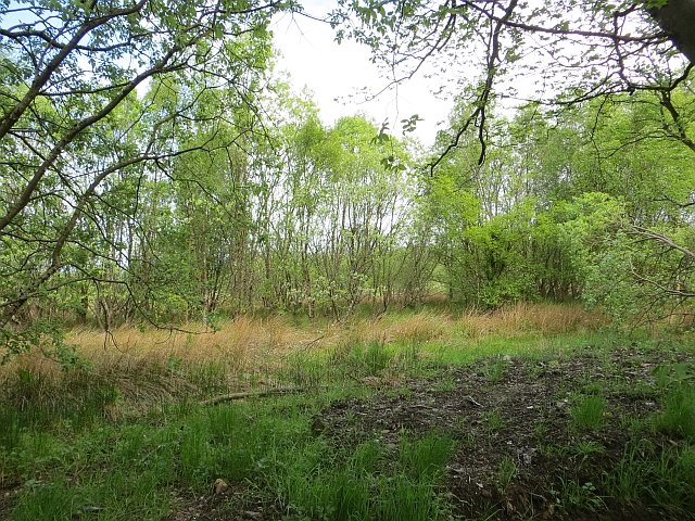
Despite its small size, West Balgrochan offers a number of amenities to its residents and visitors. The village has a local pub, providing a friendly gathering place for the community. Additionally, there are several walking trails that wind through the surrounding countryside, allowing visitors to explore the natural beauty of the area.
The village is conveniently located near the larger towns of Kilsyth and Stirling, offering easy access to a wider range of services and facilities. Stirling, in particular, is a historic city with a rich heritage, boasting attractions such as Stirling Castle and the Wallace Monument.
Overall, West Balgrochan is a charming village in Stirlingshire, offering a peaceful setting and easy access to both rural and urban amenities.
If you have any feedback on the listing, please let us know in the comments section below.
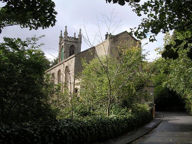
West Balgrochan Images
Images are sourced within 2km of 55.938891/-4.2269224 or Grid Reference NS6174. Thanks to Geograph Open Source API. All images are credited.


West Balgrochan is located at Grid Ref: NS6174 (Lat: 55.938891, Lng: -4.2269224)
Unitary Authority: East Dunbartonshire
Police Authority: Greater Glasgow
What 3 Words
///tennis.period.backup. Near Torrance, East Dunbartonshire
Nearby Locations
Related Wikis

East Dunbartonshire
East Dunbartonshire (Scots: Aest Dunbartanshire; Scottish Gaelic: Siorrachd Dhùn Bhreatann an Ear, pronounced [ˈʃirˠəxk ɣum ˈpɾʲɛht̪ən̪ˠ əɲ ˈɛɾ]) is one...

Balmore
Balmore (from the Scottish Gaelic "Baile Mòr" meaning a large settlement) is a small village formerly in the county of Stirlingshire, but now lies in East...

Torrance railway station
Torrance railway station was opened in 1879 on the Kelvin Valley Railway and served the area of the village of Torrance in East Dunbartonshire until 1951...
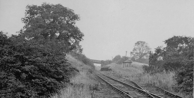
Balmore railway station
Balmore railway station was opened in 1879 on the Kelvin Valley Railway and served the coal mining area, farms and the village of Balmore in East Dunbartonshire...

Torrance, East Dunbartonshire
Torrance is a relatively affluent village in East Dunbartonshire, formerly Stirlingshire, Scotland, located eight miles (thirteen kilometres) north of...
Cadder
Cadder (Scottish Gaelic: Coille Dobhair) is a district of the town of Bishopbriggs, East Dunbartonshire, Scotland. It is located 7 km north of Glasgow...
Wilderness Plantation
Wilderness Plantation was the site of a Roman fortlet on the Antonine Wall in Scotland.The line of the Antonine Wall runs roughly parallel between the...

Bardowie railway station
Bardowie railway station was opened in 1905 on the Kelvin Valley Railway, later than most of the other stations which had opened with the line itself in...
Nearby Amenities
Located within 500m of 55.938891,-4.2269224Have you been to West Balgrochan?
Leave your review of West Balgrochan below (or comments, questions and feedback).