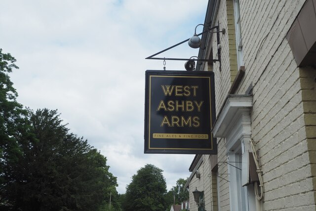
West Ashby

Settlement in Lincolnshire East Lindsey

England

West Ashby

West Ashby Arms Formerly The Green Dragon <a href="https://www.geograph.org.uk/photo/964258">TF2672 : The Green Dragon</a>
West Ashby Arms Credit: David Lally

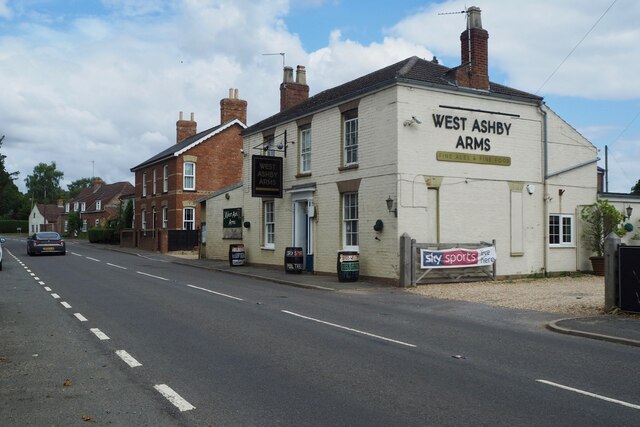
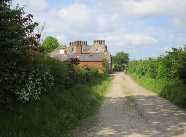
West Ashby is a small village located in the East Lindsey district of Lincolnshire, England. Situated approximately 3 miles south-east of the historic market town of Horncastle, West Ashby is set amidst picturesque countryside, offering a tranquil and idyllic environment for its residents.

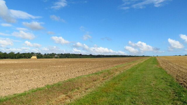
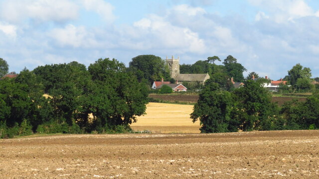
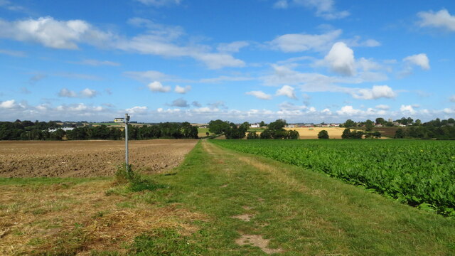
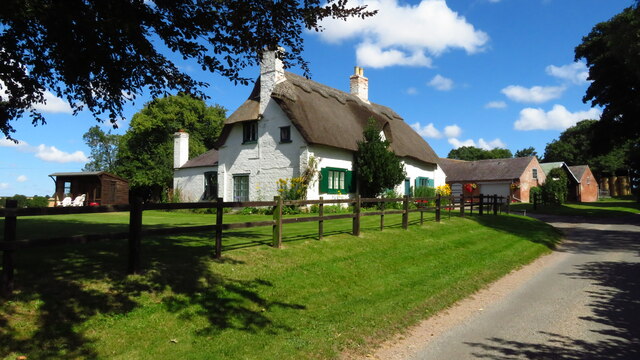
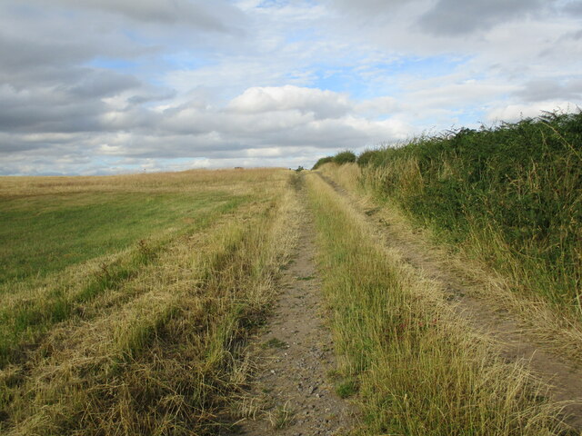
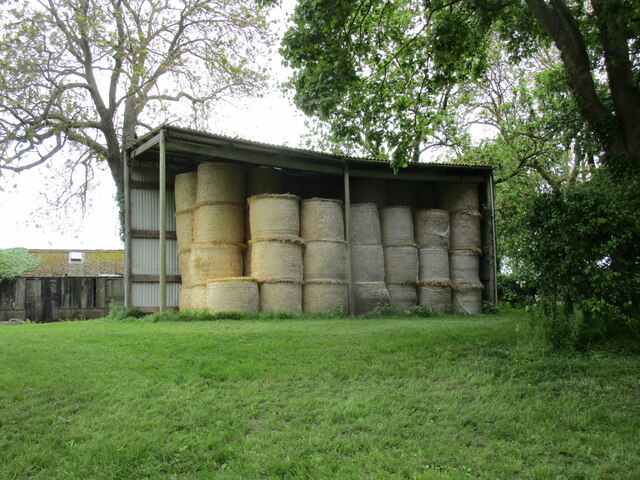
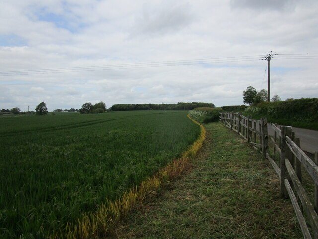
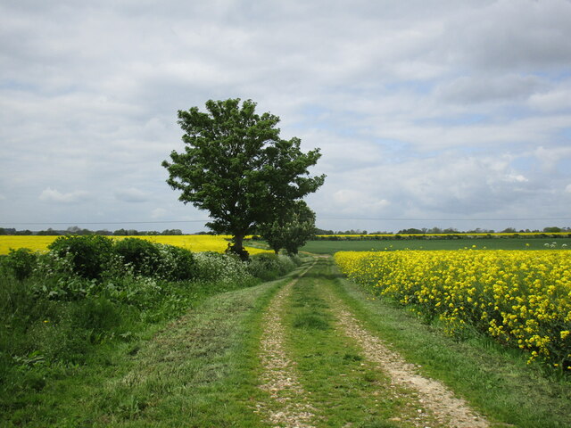
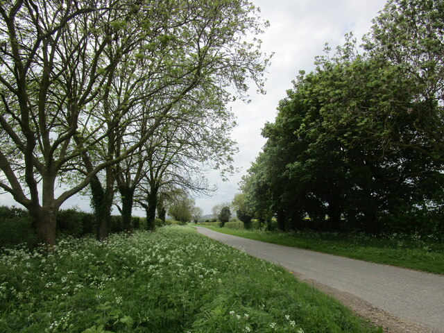
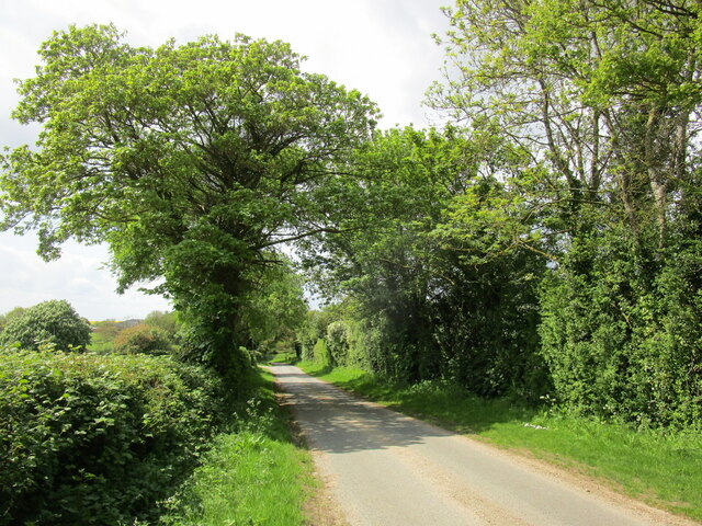
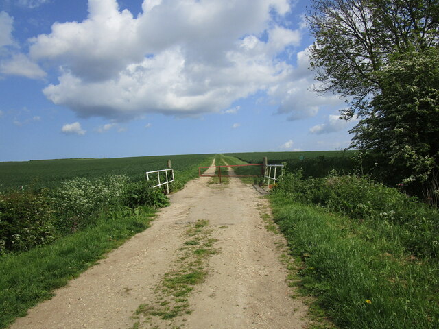
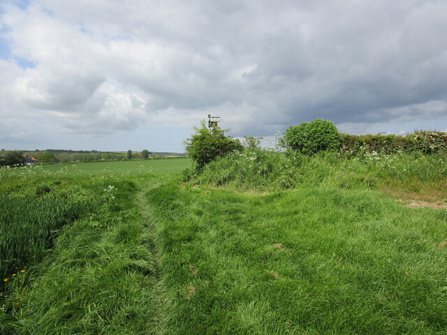
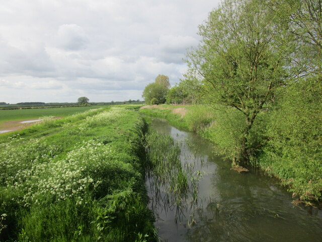
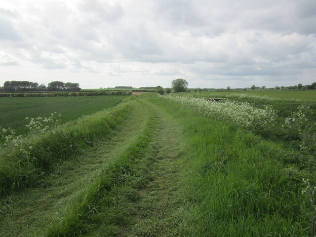
The village is characterized by its charming rural setting, with rolling hills, lush green fields, and beautiful woodland nearby. It boasts a close-knit community, with a population of around 400 people, and is known for its friendly and welcoming atmosphere.

The heart of West Ashby is centered around St. Helen's Church, a Grade II listed building that dates back to the 13th century. The church stands as a prominent landmark in the village, contributing to its historic charm and heritage.

Despite its small size, West Ashby has a strong sense of community spirit, with various social and recreational activities available for residents. The village hall is a hub of activity, hosting events and gatherings throughout the year, including craft fairs, community meetings, and celebrations.

Residents of West Ashby benefit from the proximity to Horncastle, which provides access to a wider range of amenities, including shops, supermarkets, schools, and healthcare services. The village is also well-connected to surrounding areas through a network of roads, making it easily accessible to commuters and visitors alike.

Overall, West Ashby offers a peaceful and picturesque living environment, making it an attractive place for those seeking a serene rural lifestyle in the heart of Lincolnshire.

If you have any feedback on the listing, please let us know in the comments section below.

West Ashby Images

Images are sourced within 2km of 53.230312/-0.10616778 or Grid Reference TF2672. Thanks to Geograph Open Source API. All images are credited.

West Ashby Arms Formerly The Green Dragon <a href="https://www.geograph.org.uk/photo/964258">TF2672 : The Green Dragon</a>
West Ashby Arms
Formerly The Green Dragon TF2672 : The Green Dragon
The sign of the West Ashby Arms See <a href="https://www.geograph.org.uk/photo/6933799">TF2672 : West Ashby Arms</a>
The sign of the West Ashby Arms
Viking Way, north of Low Toynton
West Ashby from The Viking Way
Viking Way at path junction, east of West Ashby
Manor Farm, Low Toynton near Horncastle
Farm track to Top Yard, Sheep Cote Hill
Straw bales at Manor Farm, Low Toynton
Wheat field near Low Toynton
The Viking Way near Low Toynton
Lane to  Horncastle near Low Toynton
Lane to Horncastle near Low Toynton
Lane to Far Thorpe near West Ashby
Lane and The Grove, West Ashby The Grove is now a residential care home. It dates from the late seventeenth century but with extensive later additions <span class="nowrap"><a title="https://historicengland.org.uk/listing/the-list/list-entry/1252246?section=official-list-entry" rel="nofollow ugc noopener" href="https://historicengland.org.uk/listing/the-list/list-entry/1252246?section=official-list-entry">Link</a><img style="margin-left:2px;" alt="External link" title="External link - shift click to open in new window" src="https://s1.geograph.org.uk/img/external.png" width="10" height="10"/></span>
Lane and The Grove, West Ashby
The Grove is now a residential care home. It dates from the late seventeenth century but with extensive later additions LinkExternal link
Bridge over the River Waring near West Ashby
The Viking Way near West Ashby
The River Bain above Shearman's Wath Bridge
Alongside the River Bain near Shearman's Wath Bridge
St Peter's church, Low Toynton, east end The church has been redundant since 1973 and is now shrouded in ivy. It was built in 1811.
St Peter's church, Low Toynton, east end
The church has been redundant since 1973 and is now shrouded in ivy. It was built in 1811.
Show me another place!

West Ashby is located at Grid Ref: TF2672 (Lat: 53.230312, Lng: -0.10616778)

Division: Parts of Lindsey

Administrative County: Lincolnshire

District: East Lindsey

Police Authority: Lincolnshire

What 3 Words

///seasonal.overdone.dorms. Near Horncastle, Lincolnshire

Nearby Locations

Ashby, West West Ashby

Related Wikis

West Ashby

West Ashby is a village and civil parish in the East Lindsey district of Lincolnshire, England. It is situated on the Horncastle to Louth A153 road, and...

Low Toynton

Low Toynton is a hamlet and civil parish in the East Lindsey district of Lincolnshire, England. The population of the civil parish (including Fulletby...

Queen Elizabeth's Grammar School, Horncastle

Queen Elizabeth's Grammar School, Horncastle, is a co-educational grammar school with academy status in Horncastle, Lincolnshire, England. In 2009, there...

A158 road

The A158 road is a major route that heads from Lincoln in the west to Skegness on the east coast. The road is located entirely in the county of Lincolnshire...

Horncastle

Horncastle is a market town and civil parish in the East Lindsey district in Lincolnshire, England. It is 17 miles (27 km) east of Lincoln. Its population...

St Mary's Church, Horncastle

St. Mary's Church, Horncastle, Lincolnshire, England, dates from the early 13th century and is dedicated to Saint Mary. It serves the Ecclesiastical Parish...

Cagthorpe

Cagthorpe is suburb of the town of Horncastle, Lincolnshire, England. It is south of, and separated from, the historic town centre by the re-aligned River...

River Waring

The River Waring is a small river in Lincolnshire, England, and a tributary of the River Bain. The Waring rises in the parish of Belchford and runs through...

Nearby Amenities

Located within 500m of 53.230312,-0.10616778
West Ashby
Is In: Lincolnshire, England, UK
Place: village
Source: Bing
Lat/Long: 53.2341761/-0.104626
Bus Stop
All Saints' Church
Naptan AtcoCode: 2700LWA01869
Naptan Bearing: NE
Naptan CommonName: All Saints' Church
Naptan Indicator: adj
Naptan Landmark: All Saints' Church
Naptan NaptanCode: linamtpw
Naptan Street: Main Street
Naptan Verified: no
Source: naptan_import
Lat/Long: 53.2339674/-0.104734
All Saints' Church
Naptan AtcoCode: 2700LWAC3442
Naptan Bearing: S
Naptan BusStopType: CUS
Naptan CommonName: All Saints' Church
Naptan Indicator: opp
Naptan Landmark: All Saints' Church
Naptan NaptanCode: lindajgp
Naptan Street: Main Street
Naptan Verified: no
Source: naptan_import
Lat/Long: 53.2333438/-0.1050912
Power: pole
Lat/Long: 53.2333244/-0.1081641
Power: pole
Lat/Long: 53.2340958/-0.1070175
Barrier: stile
Source: Bing
Lat/Long: 53.2324784/-0.1088847
Power: pole
Lat/Long: 53.2320191/-0.1101449
Power: pole
Lat/Long: 53.2325955/-0.1092826
Power: pole
Lat/Long: 53.2302795/-0.1083465
Power: pole
Lat/Long: 53.2299067/-0.1090717
Power: pole
Lat/Long: 53.230864/-0.1072321
Power: pole
Lat/Long: 53.2306648/-0.1099424
Power: pole
Lat/Long: 53.2297296/-0.1088655
Power: pole
Lat/Long: 53.2288393/-0.1090882
Power: pole
Lat/Long: 53.2278888/-0.1093228
Power: pole
Lat/Long: 53.2315067/-0.1109287
Power: pole
Lat/Long: 53.2318182/-0.1124642
Power: pole
Lat/Long: 53.2269354/-0.1095591
Passing Place
Source: Bing
Lat/Long: 53.2301538/-0.1115567
Passing Place
Source: Bing
Lat/Long: 53.2301054/-0.1129636
Ivy House Farm
Place: farm
Source: Bing
Lat/Long: 53.2320755/-0.1056702
West View Cottage
Place: isolated_dwelling
Source: Bing
Lat/Long: 53.2287738/-0.1068275
Note: Name?
Place: farm
Source: Bing
Lat/Long: 53.2274775/-0.1052972
Generator Method: photovoltaic
Generator Output Electricity: yes
Generator Source: solar
Generator Type: solar_photovoltaic_panel
Location: roof
Power: generator
Lat/Long: 53.2298439/-0.1068247
Generator Method: photovoltaic
Generator Output Electricity: yes
Generator Source: solar
Generator Type: solar_photovoltaic_panel
Location: roof
Power: generator
Lat/Long: 53.2298423/-0.1068971
Generator Method: photovoltaic
Generator Output Electricity: yes
Generator Source: solar
Generator Type: solar_photovoltaic_panel
Location: roof
Power: generator
Lat/Long: 53.2332003/-0.1064425
Defibrillator
Access: yes
Defibrillator Location: outside West Ashby Village Hall
Emergency: defibrillator
Indoor: no
Lat/Long: 53.2295013/-0.1073811
Social Facility
The Grove Residential Home
Addr City: Horncastle
Addr Country: GB
Addr Postcode: LN9 5PT
Addr Street: Main Street
Addr Village: West Ashby
Fhrs Authority: East Lindsey
Fhrs Id: 155994
Fhrs Local Authority Id: EHFDI/01550/08
Social Facility: nursing_home
Lat/Long: 53.2311377/-0.1060545
Advertising: board
Lat/Long: 53.2296125/-0.1072624
The data included in this document is from www.openstreetmap.org. The data is made available under ODbL.

Have you been to West Ashby?

Leave your review of West Ashby below (or comments, questions and feedback).