West Adderbury

Settlement in Oxfordshire Cherwell

England

West Adderbury

Banbury Road, Twyford
Banbury Road, Twyford Credit: David Howard

West Adderbury is a picturesque village located in the Cherwell district of Oxfordshire, England. Situated just 2 miles south-west of the market town of Banbury, it is part of the larger village of Adderbury.

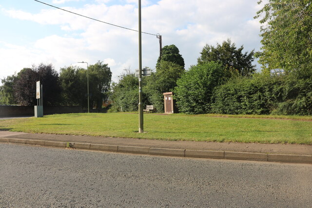
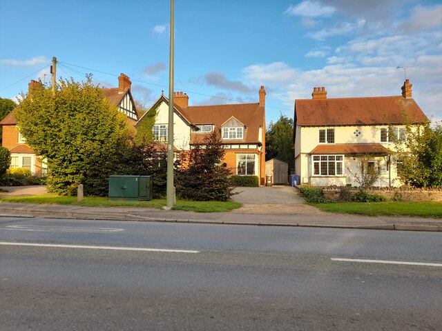
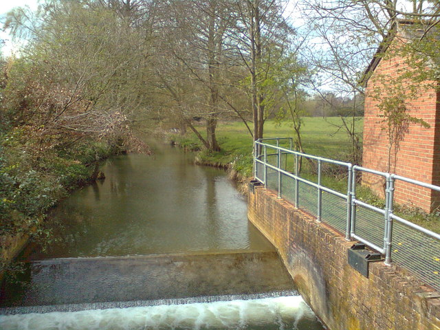
The village is characterized by its charming thatched cottages, historic buildings, and beautiful countryside surroundings. It offers a peaceful and tranquil atmosphere, making it a desirable place to live or visit.

West Adderbury is well-known for its rich history, dating back to the medieval period. The Grade I listed St. Mary's Church, with its stunning architecture and intricate stained glass windows, is a prominent landmark in the village. Nearby, the Adderbury House, a Georgian mansion, adds to the area's historical significance.

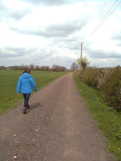
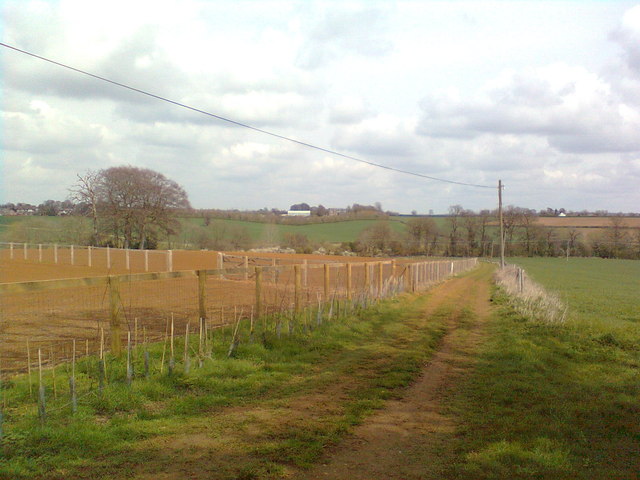
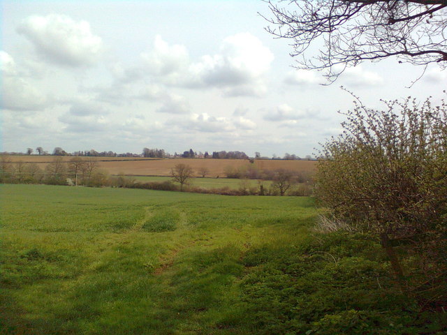
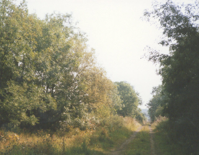
Nature enthusiasts can explore the surrounding countryside, which offers ample opportunities for walking, cycling, and horse riding. The village is surrounded by fields and farmland, providing scenic views and a sense of rural tranquility.

Despite its peaceful setting, West Adderbury benefits from its proximity to Banbury, offering access to a range of amenities and services. Banbury provides excellent transport links, including a train station with direct connections to London and Birmingham.

In summary, West Adderbury is a delightful village nestled in the Oxfordshire countryside. Its historic charm, natural beauty, and convenient location make it an appealing destination for both residents and visitors seeking a peaceful retreat.

If you have any feedback on the listing, please let us know in the comments section below.

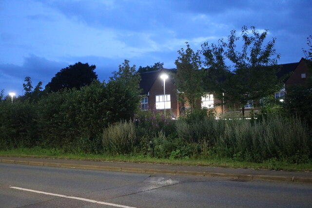
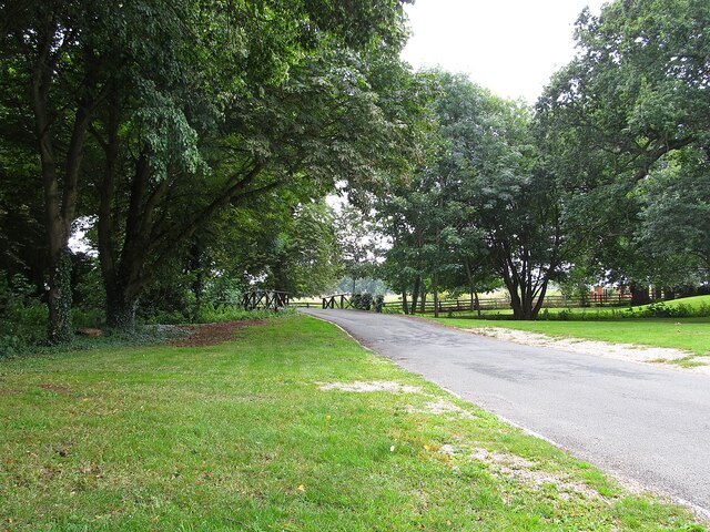
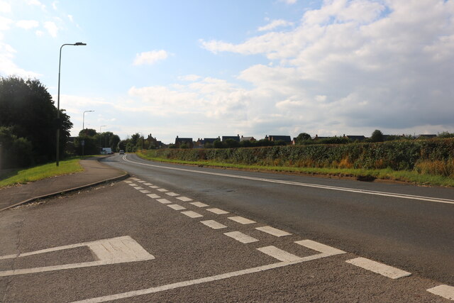
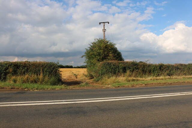
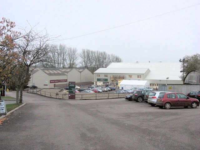
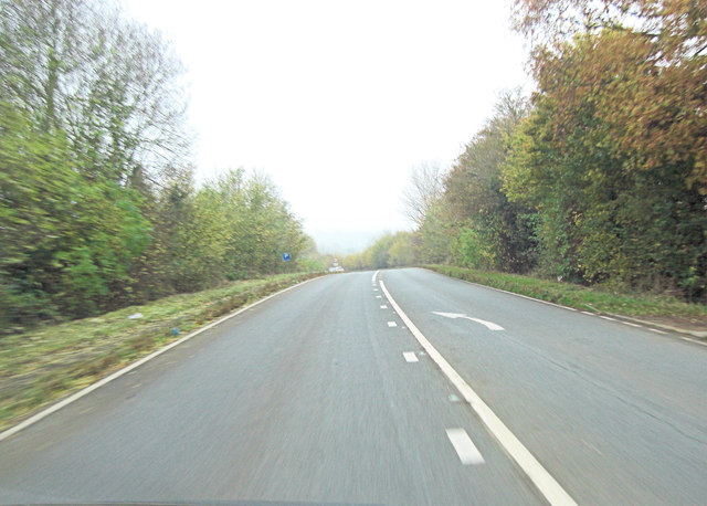
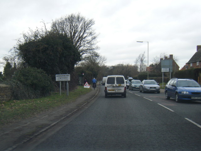
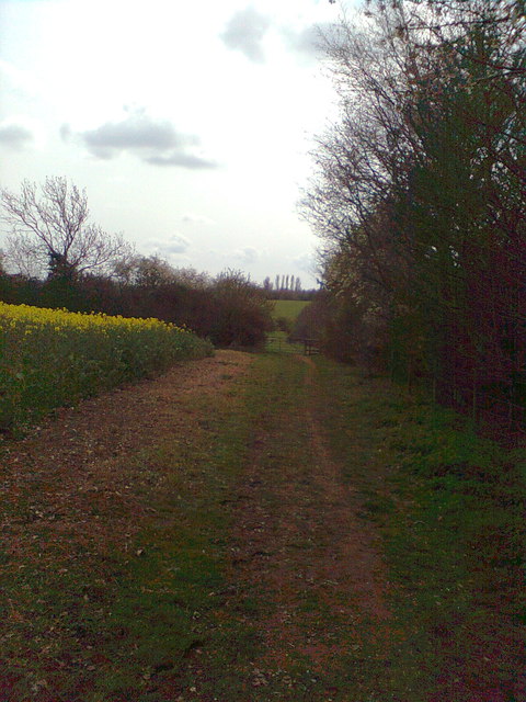
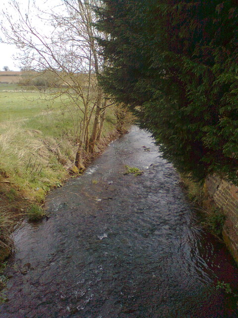
West Adderbury Images

Images are sourced within 2km of 52.01254/-1.32608 or Grid Reference SP4635. Thanks to Geograph Open Source API. All images are credited.

Banbury Road, Twyford
Adderbury-The Katharine House Hospice Bridge over a stream in the grounds of the Hospice.
Adderbury-The Katharine House Hospice
Bridge over a stream in the grounds of the Hospice.
Aynho Road, Adderbury At the end of Sydenham Close
Aynho Road, Adderbury
At the end of Sydenham Close
Aynho Road, Adderbury
Green on Aynho Road, Adderbury
Houses on Banbury Road, Twyford
St Mary's Church, Adderbury
RAF Barford St John from the air Still in use, but not as an airfield. Click on this <span class="nowrap"><a title="http://en.wikipedia.org/wiki/RAF_Barford_St_John" rel="nofollow ugc noopener" href="http://en.wikipedia.org/wiki/RAF_Barford_St_John">Link</a><img style="margin-left:2px;" alt="External link" title="External link - shift click to open in new window" src="https://s1.geograph.org.uk/img/external.png" width="10" height="10"/></span> to go to the wikipedia article about the base. Viewed from a Heathrow bound flight from Glasgow.

See also <a href="https://www.geograph.org.uk/photo/2355944">SP4434 : RAF Barford St John from the air</a>.
RAF Barford St John from the air
Still in use, but not as an airfield. Click on this LinkExternal link to go to the wikipedia article about the base. Viewed from a Heathrow bound flight from Glasgow. See also SP4434 : RAF Barford St John from the air.
RAF Barford St John from the air Still in use, but not as an airfield. Click on this <span class="nowrap"><a title="http://en.wikipedia.org/wiki/RAF_Barford_St_John" rel="nofollow ugc noopener" href="http://en.wikipedia.org/wiki/RAF_Barford_St_John">Link</a><img style="margin-left:2px;" alt="External link" title="External link - shift click to open in new window" src="https://s1.geograph.org.uk/img/external.png" width="10" height="10"/></span> to go to the wikipedia article about the base. Viewed from a Heathrow bound flight from Glasgow.

See also <a href="https://www.geograph.org.uk/photo/2355941">SP4434 : RAF Barford St John from the air</a>.
RAF Barford St John from the air
Still in use, but not as an airfield. Click on this LinkExternal link to go to the wikipedia article about the base. Viewed from a Heathrow bound flight from Glasgow. See also SP4434 : RAF Barford St John from the air.
Approach to Twyford Mill Industrial Estate This site has been some sort of industrial or mill area for about 180 years culminating in aluminium working for aircraft production during WWII. It is now home to Aga, Fired Earth and Trade Secret.
Approach to Twyford Mill Industrial Estate
This site has been some sort of industrial or mill area for about 180 years culminating in aluminium working for aircraft production during WWII. It is now home to Aga, Fired Earth and Trade Secret.
A4260 south of Adderbury
Adderbury (Twyford) village boundary sign Adderbury is behind us, Twyford in front.
Adderbury (Twyford) village boundary sign
Adderbury is behind us, Twyford in front.
Walking north from Milton
North towards Bloxham Grove Road
Looking towards the old Oxford Road, from just past Bloxham Grove
The view east, on the path to Lower Grove Mill
Sor Brook, to the west of Lower Grove Mill
Weir on the Sor Brook at Lower Grove Mill
Show me another place!

West Adderbury is located at Grid Ref: SP4635 (Lat: 52.01254, Lng: -1.32608)

Administrative County: Oxfordshire

District: Cherwell

Police Authority: Thames Valley

What 3 Words

///stopwatch.protect.retraced. Near Adderbury, Oxfordshire

Related Wikis

Adderbury

Adderbury is a winding linear village and rural civil parish about 3 miles (5 km) south of Banbury in northern Oxfordshire, England. The settlement has...

Milton Halt railway station

Milton Halt railway station is a former railway station that served the village of Milton in northern Oxfordshire, England. == History == The station was...

Adderbury railway station

Adderbury railway station served the village of Adderbury in Oxfordshire, England. == History == The station was built by the Banbury and Cheltenham Direct...

Milton, Cherwell

Milton is a village and civil parish about 2.5 miles (4 km) south of Banbury in Oxfordshire, on the Milton road between the villages of Adderbury and Bloxham...

Adderbury Lakes

Adderbury Lakes is a 1.8-hectare (4.4-acre) Local Nature Reserve in Adderbury in Oxfordshire. It is owned and managed by Adderbury Parish Council.The...

Sor Brook

The Sor Brook is a brook located mostly in Oxfordshire, in the South of England.From its source at Edge Hill in Warwickshire, it flows to the west of Banbury...

RAF Barford St John

Royal Air Force Barford St John or more simply RAF Barford St John is a Royal Air Force station just north of the village of Barford St. John, Oxfordshire...

Bodicote

Bodicote is a village and civil parish in North Oxfordshire, approximately 2 miles (3 km) south of the centre of Banbury. The 2011 Census recorded the...

Nearby Amenities

Located within 500m of 52.01254,-1.32608
West Adderbury
Place: suburb
Source: NPE
Lat/Long: 52.0119111/-1.3227246
Oak Tree
Naptan AtcoCode: 340001799MRC
Naptan Bearing: N
Naptan BusStopType: CUS
Naptan CommonName: Oak Tree
Naptan Indicator: Jubilee Oak Tree
Naptan Landmark: Jubilee Oak Tree
Naptan NaptanCode: oxfgdatg
Naptan Street: Berry Hill Road
Naptan Verified: no
Source: naptan_import
Lat/Long: 52.0119541/-1.3225751
Bus Stop
Oak Tree
Bus: yes
Naptan AtcoCode: 340001799OPM
Naptan Bearing: S
Naptan CommonName: Oak Tree
Naptan Indicator: Post Box
Naptan Landmark: Post Box
Naptan NaptanCode: oxfgawmj
Naptan Street: Berry Hill Road
Naptan Verified: no
Public Transport: platform
Source: naptan_import
Lat/Long: 52.0119352/-1.3224151
Turning Circle
Lat/Long: 52.0101911/-1.3239203
Turning Circle
Lat/Long: 52.0092843/-1.3239306
Post Box
Brand: Royal Mail
Brand Wikidata: Q638098
Brand Wikipedia: en:Royal Mail
Collection Times: Mo-Fr 16:45; Sa 09:00
Operator: Royal Mail
Operator Wikidata: Q638098
Post Box Mounting: brick_pillar
Post Box Type: wall
Ref: OX17 1027
Royal Cypher: EIIR
Royal Cypher Wikidata: Q33102113
Source: survey
Lat/Long: 52.0120368/-1.3225199
Fixme: Incomplete
Lat/Long: 52.0133069/-1.3196818
Information: route_marker
Tourism: information
Lat/Long: 52.0155851/-1.3260662
Barrier: kissing_gate
Lat/Long: 52.0167617/-1.3273289
Fixme: check for connection
Lat/Long: 52.0102701/-1.3240187
Fixme: confirm connection, unclear on imagery
Lat/Long: 52.0124638/-1.3237122
Barrier: stile
Motor Vehicle: no
Lat/Long: 52.0156144/-1.3260866
Barrier: stile
Lat/Long: 52.0158012/-1.3261578
Bridge Support: small_bridge
Lat/Long: 52.0167284/-1.3273022
Power: pole
Lat/Long: 52.0165191/-1.3246816
Turning Circle
Lat/Long: 52.0120109/-1.3238933
Turning Circle
Lat/Long: 52.0126977/-1.321278
Turning Circle
Lat/Long: 52.0121909/-1.3236801
Addr City: Adderbury
Addr Housenumber: 17
Addr Street: Wallin Road
Lat/Long: 52.0110088/-1.3248053
Turning Circle
Lat/Long: 52.0106811/-1.3256944
Power: pole
Lat/Long: 52.0107297/-1.3311284
Power: pole
Lat/Long: 52.0097976/-1.331133
The data included in this document is from www.openstreetmap.org. The data is made available under ODbL.

Have you been to West Adderbury?

Leave your review of West Adderbury below (or comments, questions and feedback).