West Acre

Settlement in Norfolk King's Lynn and West Norfolk

England

West Acre

The West Acre Theatre "River Studios" held their art exhibition here in May 2011.
The West Acre Theatre Credit: Elliott Simpson

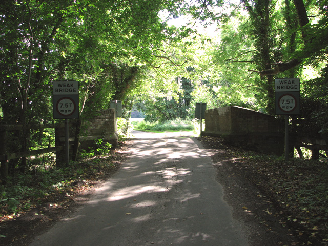
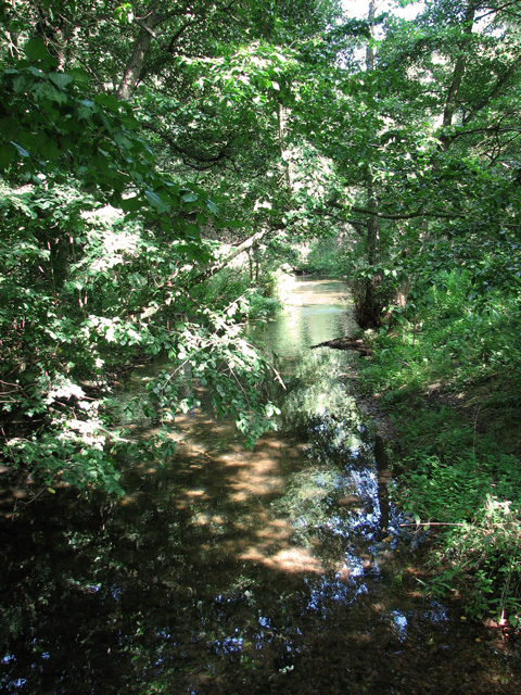
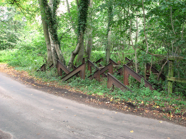
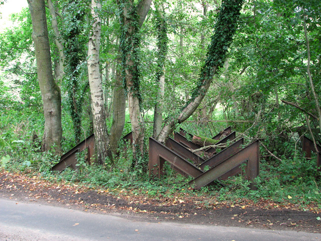
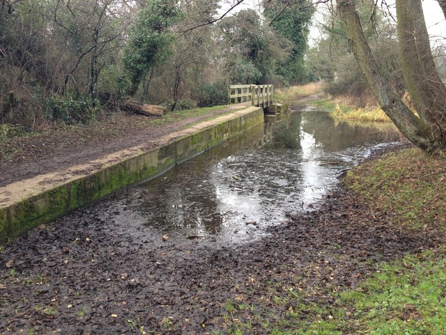
West Acre is a village located in the county of Norfolk, in the eastern part of England. It lies about 12 miles east of the historic market town of King's Lynn and is situated on the River Nar. The village is part of the civil parish of West Acre with East Walton and is surrounded by picturesque countryside.

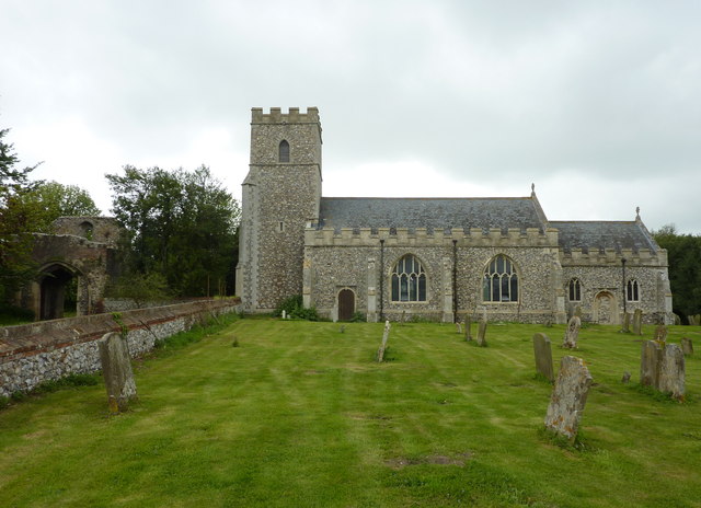
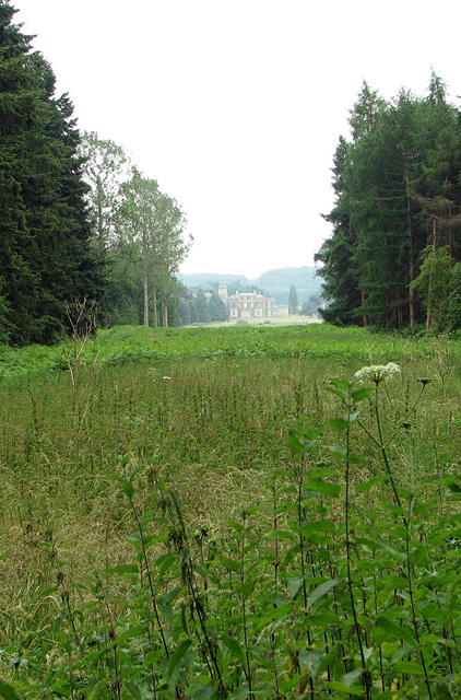
West Acre is known for its rich history, dating back to the Roman times when a settlement existed in the area. The village is home to several noteworthy landmarks, including the ruins of West Acre Priory, a medieval Augustinian priory that dates back to the 12th century. The priory's remains are a popular tourist attraction, offering visitors a glimpse into the village's past.

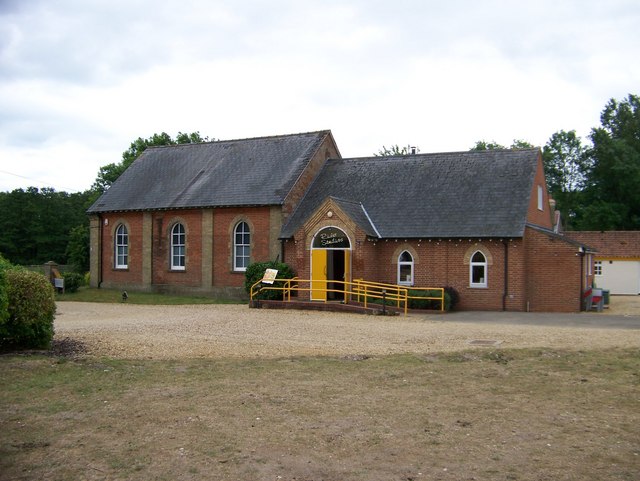
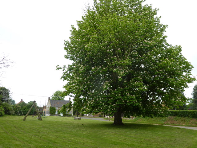
Despite its small size, West Acre has a tight-knit community and offers a range of amenities for its residents. These include a village hall, a primary school, and a pub, which serves as a social hub for locals and visitors alike. The village also boasts a cricket club, providing recreational opportunities for sports enthusiasts.

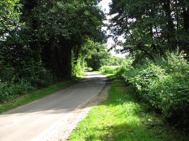
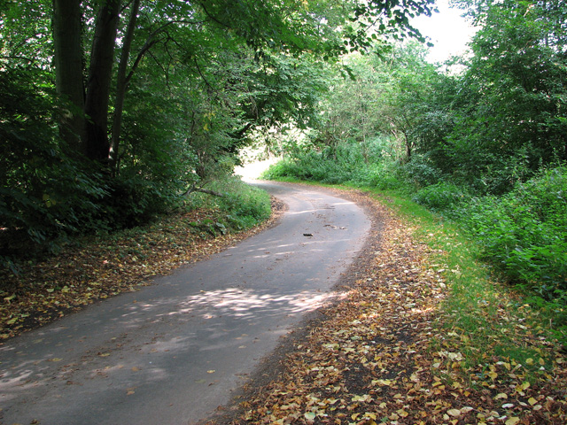
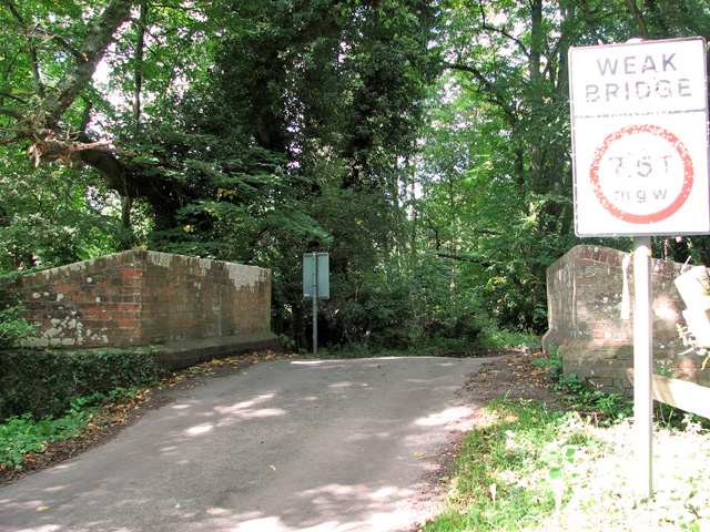
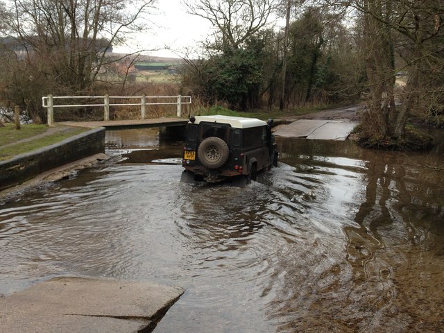
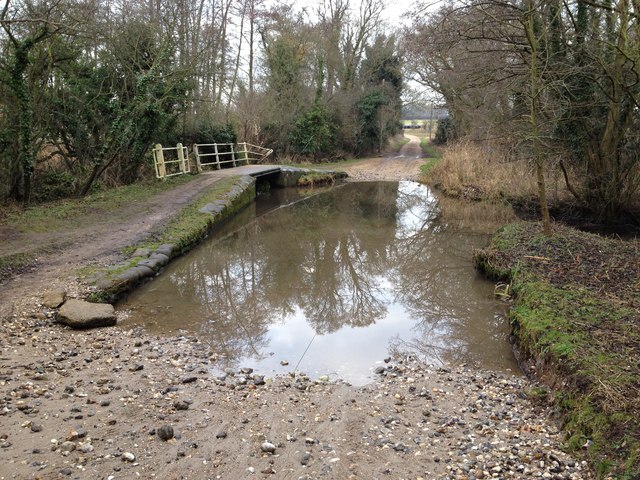
The surrounding countryside offers a tranquil environment for those seeking outdoor activities such as walking, cycling, and birdwatching. The River Nar, which flows through the village, is a popular spot for fishing and boating.

Overall, West Acre is a charming village with a rich historical heritage and a close-knit community, making it an attractive destination for visitors and a pleasant place to live.

If you have any feedback on the listing, please let us know in the comments section below.
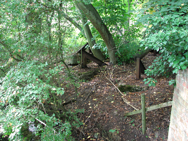
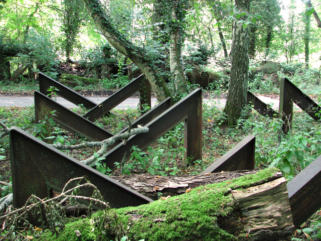
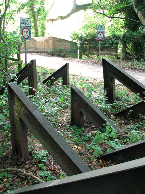
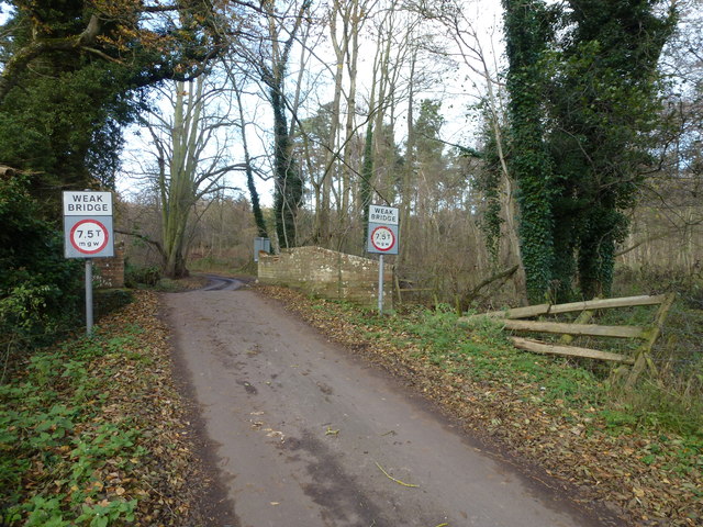
West Acre Images

Images are sourced within 2km of 52.705732/0.63299369 or Grid Reference TF7715. Thanks to Geograph Open Source API. All images are credited.

The West Acre Theatre "River Studios" held their art exhibition here in May 2011.
The West Acre Theatre
"River Studios" held their art exhibition here in May 2011.
Rural lane past Narford Lake
Approaching Bradmoor Hill, Narford
Bridge over the River Nar, Narford
The River Nar north of Narford Hall
A group of hairpin tank traps beside the River Nar, Narford This unusual and, so I believe, quite unique group comprising 36 hairpin tank traps formed part of the Eastern Command: II Corps Line B. This defence line ran from Southwold via Harleston on the Suffolk-Norfolk border through Attleborough, Watton and Swaffham in Norfolk and then continued on to King's Lynn. Not a conventional stop line but one centred around main roads offering no definite obstacle. All towns forming way points on the line and villages within a mile either side were to be prepared for defence. DOB site reference: S0002193.
A group of hairpin tank traps beside the River Nar, Narford
This unusual and, so I believe, quite unique group comprising 36 hairpin tank traps formed part of the Eastern Command: II Corps Line B. This defence line ran from Southwold via Harleston on the Suffolk-Norfolk border through Attleborough, Watton and Swaffham in Norfolk and then continued on to King's Lynn. Not a conventional stop line but one centred around main roads offering no definite obstacle. All towns forming way points on the line and villages within a mile either side were to be prepared for defence. DOB site reference: S0002193.
Trank traps, Narford This unusual and, so I believe, quite unique group comprising 36 hairpin tank traps formed part of the Eastern Command: II Corps Line B. This defence line ran from Southwold via Harleston on the Suffolk-Norfolk border through Attleborough, Watton and Swaffham in Norfolk and then continued on to King's Lynn. Not a conventional stop line but one centred around main roads offering no definite obstacle. All towns forming way points on the line and villages within a mile either side were to be prepared for defence. DOB site reference: S0002193.
Trank traps, Narford
This unusual and, so I believe, quite unique group comprising 36 hairpin tank traps formed part of the Eastern Command: II Corps Line B. This defence line ran from Southwold via Harleston on the Suffolk-Norfolk border through Attleborough, Watton and Swaffham in Norfolk and then continued on to King's Lynn. Not a conventional stop line but one centred around main roads offering no definite obstacle. All towns forming way points on the line and villages within a mile either side were to be prepared for defence. DOB site reference: S0002193.
Tank traps, Narford This unusual and, so I believe, quite unique group comprising 36 hairpin tank traps formed part of the Eastern Command: II Corps Line B. This defence line ran from Southwold via Harleston on the Suffolk-Norfolk border through Attleborough, Watton and Swaffham in Norfolk and then continued on to King's Lynn. Not a conventional stop line but one centred around main roads offering no definite obstacle. All towns forming way points on the line and villages within a mile either side were to be prepared for defence. DOB site reference: S0002193.
Tank traps, Narford
This unusual and, so I believe, quite unique group comprising 36 hairpin tank traps formed part of the Eastern Command: II Corps Line B. This defence line ran from Southwold via Harleston on the Suffolk-Norfolk border through Attleborough, Watton and Swaffham in Norfolk and then continued on to King's Lynn. Not a conventional stop line but one centred around main roads offering no definite obstacle. All towns forming way points on the line and villages within a mile either side were to be prepared for defence. DOB site reference: S0002193.
Ford on the Nar Valley Way, West Acre This ford is found on the edge of West Acre on the River Nar and the footpath forms part of the Nar Valley Way.
Ford on the Nar Valley Way, West Acre
This ford is found on the edge of West Acre on the River Nar and the footpath forms part of the Nar Valley Way.
Ford on the Nar Valley Way This ford is found on the Nar Valley Way between West Acre and Castle Acre. There is a second ford a few yards north over a drainage ditch.
<span class="nowrap"><a title="http://www.youtube.com/watch?v=dgi2pzmdFBE&feature=youtu.be" rel="nofollow ugc noopener" href="http://www.youtube.com/watch?v=dgi2pzmdFBE&feature=youtu.be">Link</a><img style="margin-left:2px;" alt="External link" title="External link - shift click to open in new window" src="https://s1.geograph.org.uk/img/external.png" width="10" height="10"/></span>
Ford on the Nar Valley Way
This ford is found on the Nar Valley Way between West Acre and Castle Acre. There is a second ford a few yards north over a drainage ditch. LinkExternal link
Ford on road north from South Acre This ford is over a drainage ditch and lies just north of the ford on the River Nar on the road north from South Acre.
Ford on road north from South Acre
This ford is over a drainage ditch and lies just north of the ford on the River Nar on the road north from South Acre.
Tree next to Church Green at West Acre A fine example of Aesculus hippocastanum or horse chestnut. The children's playground is in the background and the church is to the east of the tree.
Tree next to Church Green at West Acre
A fine example of Aesculus hippocastanum or horse chestnut. The children's playground is in the background and the church is to the east of the tree.
All Saints church,West Acre The 14th century priory gatehouse is to the left of the photograph.
All Saints church,West Acre
The 14th century priory gatehouse is to the left of the photograph.
View along overgrown avenue This is the view from the disused summer house > <a title="https://www.geograph.org.uk/photo/3555003" href="https://www.geograph.org.uk/photo/3555003">Link</a> in Bradmoor Plantation, looking towards Narford Hall about 1 1/2 kilometres to the south-east.
View along overgrown avenue
This is the view from the disused summer house > Link in Bradmoor Plantation, looking towards Narford Hall about 1 1/2 kilometres to the south-east.
Weak bridge over The River Nar On the lane leading to East Walton from Narford House
Weak bridge over The River Nar
On the lane leading to East Walton from Narford House
Show me another place!

West Acre is located at Grid Ref: TF7715 (Lat: 52.705732, Lng: 0.63299369)

Administrative County: Norfolk

District: King's Lynn and West Norfolk

Police Authority: Norfolk

What 3 Words

///gifted.joins.represent. Near Narborough, Norfolk

Nearby Locations

West Acre Acre, West

Related Wikis

West Acre

West Acre is a village and civil parish in the King's Lynn and West Norfolk district of the county of Norfolk, England. It covers an area of 14.49 km2...

West Acre Priory

West Acre Priory of St. Mary and All Saints was a medieval monastic house at West Acre in the King's Lynn and West Norfolk district of Norfolk, England...

Narford

Narford is situated in the Breckland District of Norfolk and covers an area of 970 hectares (3.75 square miles). Narford village has all but disappeared...

Castle Acre Common

Castle Acre Common is a 17.8-hectare (44-acre) biological Site of Special Scientific Interest east of King's Lynn in Norfolk.This unimproved grazing marsh...

Nearby Amenities

Located within 500m of 52.705732,0.63299369
West Acre
Place: village
Postal Code: PE32
Wikidata: Q7984233
Wikipedia: en:West Acre
Lat/Long: 52.70588/0.6317901
Power: tower
Ref: 4VV 86
Lat/Long: 52.7058183/0.6256004
Power: tower
Ref: 4VV 87
Lat/Long: 52.702848/0.628865
Bus Stop
Top Road, adj
Naptan AtcoCode: 2900A033
Naptan Bearing: SW
Naptan CommonName: Top Road
Naptan Indicator: adj
Naptan Landmark: River Road
Naptan Locality: West Acre
Naptan NaptanCode: nfoadagw
Naptan ShortCommonName: Top Road
Naptan Street: Top Road
Naptan Verified: no
Source: naptan_import
Lat/Long: 52.7068923/0.629868
Top Road, opp
Naptan AtcoCode: 2900A034
Naptan Bearing: NE
Naptan BusStopType: CUS
Naptan CommonName: Top Road
Naptan Indicator: opp
Naptan Landmark: Bus Shelter
Naptan Locality: West Acre
Naptan NaptanCode: nfoadaja
Naptan ShortCommonName: Top Road
Naptan Street: Top Road
Naptan Verified: no
Source: naptan_import
Lat/Long: 52.7069382/0.6298264
River Road, adj
Naptan AtcoCode: 2900A036
Naptan Bearing: S
Naptan BusStopType: CUS
Naptan CommonName: River Road
Naptan Indicator: adj
Naptan Landmark: Sandy Lane
Naptan Locality: West Acre
Naptan NaptanCode: nfogmajp
Naptan ShortCommonName: River Road
Naptan Street: River Road
Naptan Verified: no
Source: naptan_import
Lat/Long: 52.7037315/0.6313895
Theatre
West Acre Theatre
Wikidata: Q41959517
Lat/Long: 52.7023309/0.6315234
Ford: yes
Lat/Long: 52.7052908/0.6384838
Post Box
Collection Times: Mo-Fr 17:30; Sa 09:15
Operator: Royal Mail
Post Box Mounting: building
Post Box Type: wall
Ref: PE32 395
Royal Cypher: EIIR
Royal Cypher Wikidata: Q33102113
Lat/Long: 52.7058642/0.6330445
Leisure: playground
Lat/Long: 52.7055836/0.6335445
Entrance: main
Lat/Long: 52.7055778/0.6342187
West Acre
Man Made: village_sign
Material: wood
Lat/Long: 52.7056631/0.6333597
Historic: memorial
Lat/Long: 52.7054812/0.6333809
Give Way
Lat/Long: 52.706998/0.630359
Power: pole
Lat/Long: 52.7092951/0.6307107
Power: pole
Lat/Long: 52.7082518/0.631333
Power: pole
Lat/Long: 52.7073645/0.6318614
Give Way
Lat/Long: 52.7073155/0.6326145
Give Way
Lat/Long: 52.7075793/0.6327287
Give Way
Lat/Long: 52.7074457/0.6321993
Power: pole
Transformer: distribution
Lat/Long: 52.7060741/0.6326459
Give Way
Lat/Long: 52.705768/0.6330179
Give Way
Lat/Long: 52.7057255/0.6330192
Disused Entrance: yes
Lat/Long: 52.7055052/0.6345046
Entrance: yes
Lat/Long: 52.7054584/0.6342626
Give Way
Lat/Long: 52.7063891/0.636527
Give Way
Lat/Long: 52.7063254/0.6363896
Turning Loop
Lat/Long: 52.7047575/0.6351489
Power: pole
Lat/Long: 52.7094901/0.6326754
Power: pole
Lat/Long: 52.7096753/0.6345838
Information: board
Tourism: information
Lat/Long: 52.7057929/0.6330628
Post Office
West Acre Post Office
Addr City: King's Lynn
Addr Postcode: PE32 1TW
Addr Street: Greenhill Lane
Addr Village: West Acre
Brand: Post Office
Brand Wikidata: Q1783168
Contact Website: https://www.postoffice.co.uk/branch-finder/1301314/west-acre
Opening Hours: Tu,Th 08:30-12:30
Ref Pol Id: 2249
Source Addr: pol_branch_list_2018-02
Lat/Long: 52.7058876/0.6330785
Duration Brewery
Lat/Long: 52.7042342/0.6333959
The data included in this document is from www.openstreetmap.org. The data is made available under ODbL.

Have you been to West Acre?

Leave your review of West Acre below (or comments, questions and feedback).