Akeld

Settlement in Northumberland

England

Akeld

Down  into  the  valley  toward  Akeld  Bridge  on  A697 Sand and gravel pits behind trees on the left
Down into the valley toward Akeld Bridge on A697 Credit: Martin Dawes

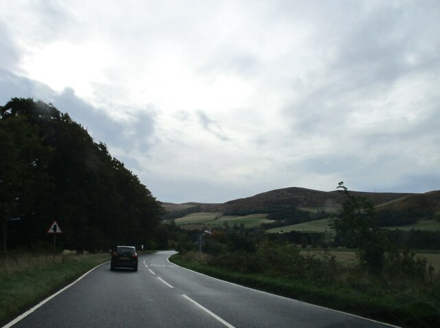
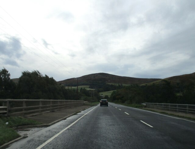
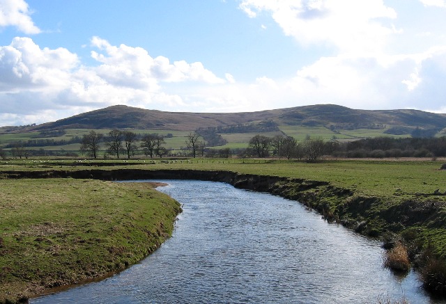
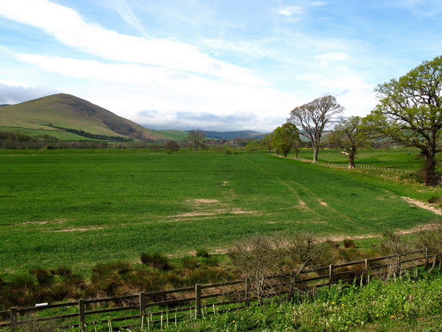
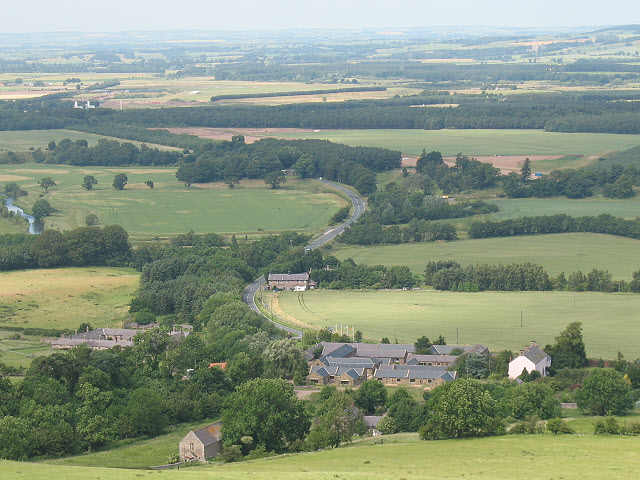
Akeld is a small village located in the county of Northumberland, in the northeast of England. It is situated within the Cheviot Hills, an area renowned for its natural beauty and picturesque landscapes. The village is part of the civil parish of Akeld and Lanton, and it falls within the parliamentary constituency of Berwick-upon-Tweed.

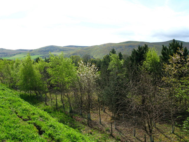
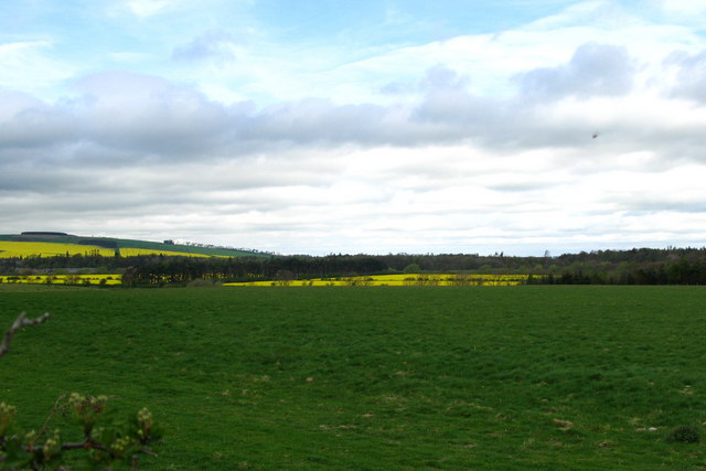
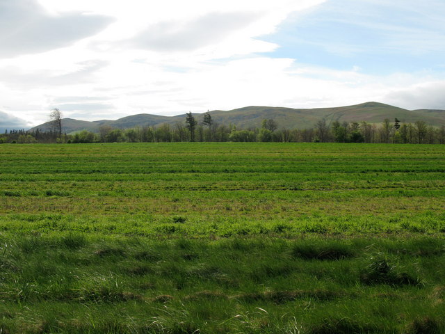
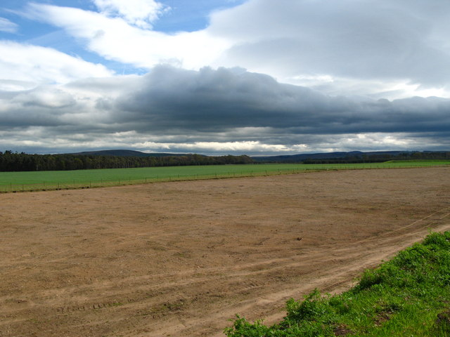
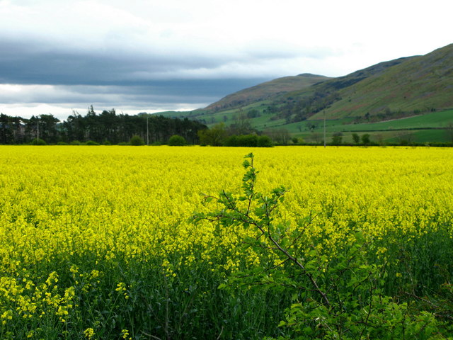
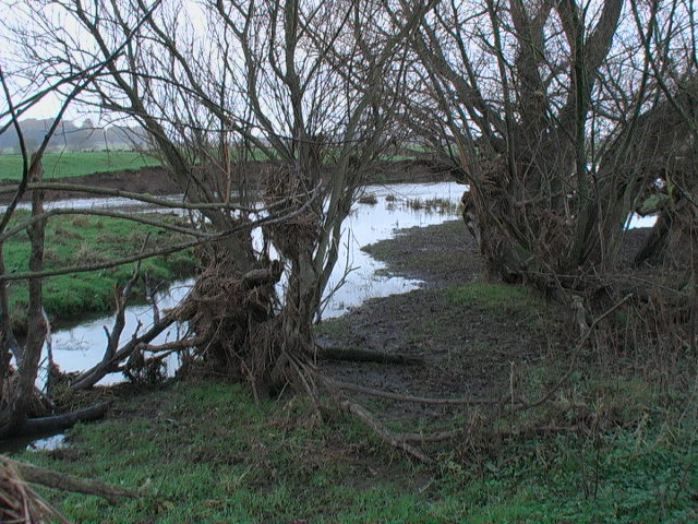
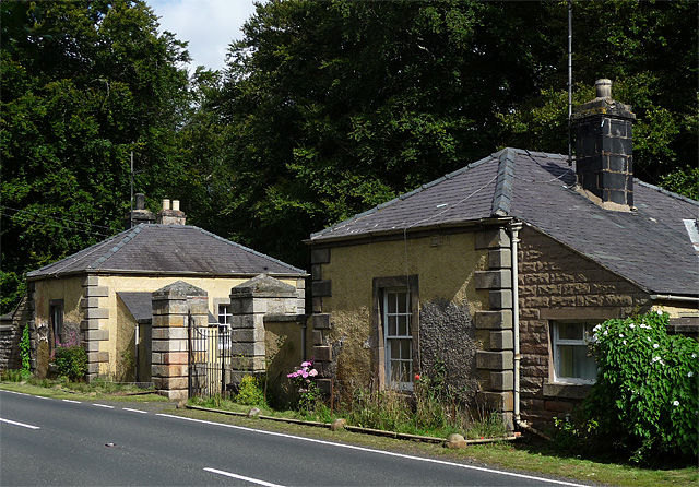
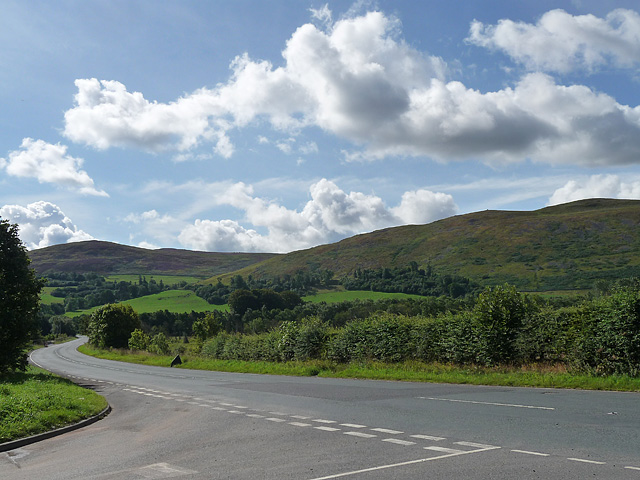
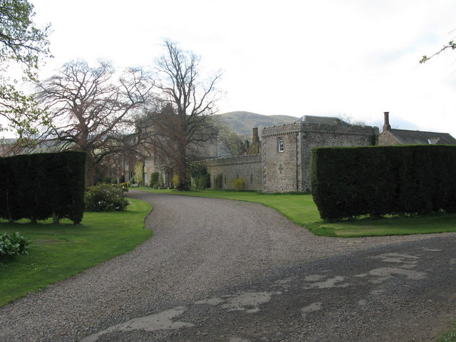
Akeld is a peaceful and tranquil village, known for its charming rural character and close-knit community. It is surrounded by rolling hills, lush green fields, and meandering streams, making it a popular destination for nature lovers and hikers. The village itself is made up of a cluster of traditional stone houses, some of which date back several centuries, giving it an authentic and timeless atmosphere.

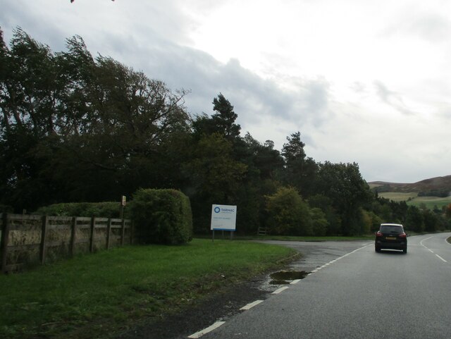
Despite its small size, Akeld has some amenities to offer its residents and visitors. There is a village hall that serves as a hub for various community activities and events. Additionally, a nearby farm shop provides locals with fresh produce and artisanal goods. For more extensive shopping and services, the larger towns of Wooler and Coldstream are a short drive away.

The location of Akeld makes it an ideal base for exploring the surrounding area. The Cheviot Hills offer numerous walking and cycling routes, while the nearby Northumberland National Park boasts stunning scenery and wildlife. The historic town of Alnwick, famous for its castle and gardens, is also within easy reach.

Overall, Akeld is a charming village in the heart of the Northumberland countryside, offering a peaceful retreat and an opportunity to reconnect with nature.

If you have any feedback on the listing, please let us know in the comments section below.
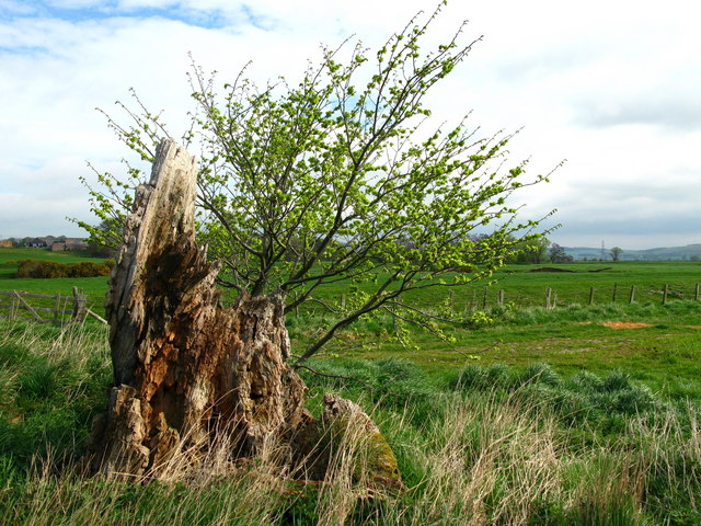
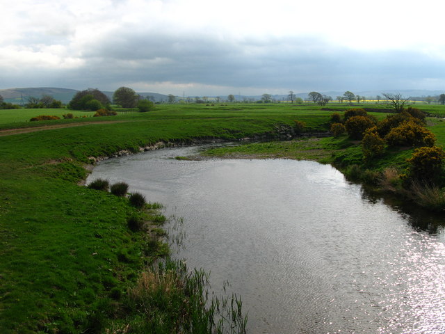
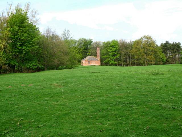
Akeld Images

Images are sourced within 2km of 55.561169/-2.06971 or Grid Reference NT9529. Thanks to Geograph Open Source API. All images are credited.

Down  into  the  valley  toward  Akeld  Bridge  on  A697 Sand and gravel pits behind trees on the left
Down into the valley toward Akeld Bridge on A697
Sand and gravel pits behind trees on the left
Minor  road  junction  to  Cheviot  Quarry  access road Cheviot Quarry, part of Tarmac, is a sand and gravel quarry
Minor road junction to Cheviot Quarry access road
Cheviot Quarry, part of Tarmac, is a sand and gravel quarry
Akeld  Bridge  over  the  River  Glen.  A697  southbound The River Glen runs into the River Till a couple of miles downstream from here
Akeld Bridge over the River Glen. A697 southbound
The River Glen runs into the River Till a couple of miles downstream from here
River Glen Looking south over the Millfield Plains towards the Cheviot foothills.
River Glen
Looking south over the Millfield Plains towards the Cheviot foothills.
Tree stump, Akeld Steads Rough grazing near Akeld Steads
Tree stump, Akeld Steads
Rough grazing near Akeld Steads
River Glen, Akeld Steads
Ewart Park Brick built building with chimney, located on the outskirts of Ewart Park. Located nearby are brick kilns, built in the late 18th or early 19th century. The clay at Ewart was regarded as the best in Northumberland and the bricks from these kilns were used to build Ewart Bridge and the cottages and houses on the estate.
Ewart Park
Brick built building with chimney, located on the outskirts of Ewart Park. Located nearby are brick kilns, built in the late 18th or early 19th century. The clay at Ewart was regarded as the best in Northumberland and the bricks from these kilns were used to build Ewart Bridge and the cottages and houses on the estate.
Akeld Newly planted crop with view to Akeld Hill behind.
Akeld
Newly planted crop with view to Akeld Hill behind.
Embankment to east of A697, near Akeld Newly planted trees on roadside embankment on the edge of the A697 to Wooler. The embankment appeared to be newly formed. See also <a href="https://www.geograph.org.uk/photo/411301">NT9531 : Cleared area, near to Akeld</a>.
Embankment to east of A697, near Akeld
Newly planted trees on roadside embankment on the edge of the A697 to Wooler. The embankment appeared to be newly formed. See also NT9531 : Cleared area, near to Akeld.
River Glen Valley at Yeavering A number of rape fields in this Northumbrian river valley.
River Glen Valley at Yeavering
A number of rape fields in this Northumbrian river valley.
Coupland View to the easterly foothills of the Northumbrian National Park.
Coupland
View to the easterly foothills of the Northumbrian National Park.
Akeld Sheep grazing away in field next to A697 to Wooler.
Akeld
Sheep grazing away in field next to A697 to Wooler.
Cleared area, near to Akeld Taken from an embankment on the edge of the A697 to Wooler, created presumably from the soil created by the clearance of this large area. Why the area has been cleared I have no idea.
Cleared area, near to Akeld
Taken from an embankment on the edge of the A697 to Wooler, created presumably from the soil created by the clearance of this large area. Why the area has been cleared I have no idea.
The foothills of the Cheviots A field of rape before the rolling Cheviot hills of Yeavering Bell and White Law.
The foothills of the Cheviots
A field of rape before the rolling Cheviot hills of Yeavering Bell and White Law.
Junction of River Glen and drainage ditch
Shattered tree - probably flood damage
Lodge near Coupland (2) West gateway to Ewart Park. A charming pair of rendered lodges with ashlar quoins. Dated 1794. Grade II listed.
Some signs of decay, the house itself having apparently been empty for at least twenty years.
Lodge near Coupland (2)
West gateway to Ewart Park. A charming pair of rendered lodges with ashlar quoins. Dated 1794. Grade II listed. Some signs of decay, the house itself having apparently been empty for at least twenty years.
Main road near Akeld The main road in question is the A697 which heads off south-east to Wooler, and the other way, north-west to Coldstream. The minor road loops back on itself towards Ford.
The hill ahead is Akeld Hill and the further one is Harehope Hill.
Main road near Akeld
The main road in question is the A697 which heads off south-east to Wooler, and the other way, north-west to Coldstream. The minor road loops back on itself towards Ford. The hill ahead is Akeld Hill and the further one is Harehope Hill.
Show me another place!

Akeld is located at Grid Ref: NT9529 (Lat: 55.561169, Lng: -2.06971)

Unitary Authority: Northumberland

Police Authority: Northumbria

What 3 Words

///discusses.blinks.exonerate. Near Wooler, Northumberland

Nearby Locations

Akeld Mill Plantation

Related Wikis

Akeld railway station

Akeld was a stone built railway station serving the hamlet of Akeld in Northumberland, England. It was on the Alnwick to Cornhill Branch which ran from...

Akeld

Akeld is a village and civil parish in Northumberland, England. It is situated around 2.7 miles (4.3 km) to the west of Wooler and 9.3 miles (15.0 km)...

Battle of Homildon Hill

The Battle of Holmedon Hill or Battle of Homildon Hill was a conflict between English and Scottish armies on 14 September 1402 in Northumberland, England...

Humbleton Hill

Humbleton Hill is a hill in Northumberland, England, about 1.5 miles (2.4 km) west of Wooler. It is the location of the Battle of Homildon Hill of 1402...

Yeavering

Yeavering () is a hamlet in the north-east corner of the civil parish of Kirknewton in the English county of Northumberland. It is located on the River...

Coupland, Northumberland

Coupland is a village and former civil parish, now in the parish of Ewart, in Northumberland, England. It is on the north bank of the River Glen about...

Coupland Castle

Coupland Castle is situated in the village of Coupland, 4 miles (6 km) to the north-west of Wooler, Northumberland, England. It is a Grade I listed building...

Battle of Yeavering

The Battle of Yeavering (or Battle of Geteryne) was fought in 1415 between English and Scottish forces near Yeavering in Northumberland. A small English...

Nearby Amenities

Located within 500m of 55.561169,-2.06971
Post Box
Check Date Collection Times: 2022-05-17
Collection Plate: CP7D
Collection Times: Mo-Fr 09:00; Sa 07:00
Operator: Royal Mail
Post Box Type: lamp
Ref: NE71 13D
Royal Cypher: EIIR
Royal Cypher Wikidata: Q33102113
Source: survey
Lat/Long: 55.5608851/-2.0699239
Power: pole
Lat/Long: 55.5632068/-2.0704426
Power: pole
Lat/Long: 55.5634875/-2.0694016
Power: pole
Lat/Long: 55.5638823/-2.0678513
Barrier: cattle_grid
Bicycle: no
Foot: no
Lat/Long: 55.5572564/-2.0720565
Chapel Field
Place: locality
Lat/Long: 55.5623012/-2.0743568
Akeld
Place: hamlet
Lat/Long: 55.5607775/-2.0697395
Low Akeld Station
Place: hamlet
Lat/Long: 55.5633147/-2.0708694
Akeld Manor Cottages
Name Es: Akeld Manor Cottages
Tourism: hotel
Lat/Long: 55.5604318/-2.0688185
Power: pole
Lat/Long: 55.5645945/-2.0654575
Give Way
Direction: forward
Lat/Long: 55.5611483/-2.0697406
Akeld
Historic Railway: station
Railway: site
Wikidata: Q4700587
Wikipedia: en:Akeld railway station
Lat/Long: 55.5635686/-2.070749
The data included in this document is from www.openstreetmap.org. The data is made available under ODbL.

Have you been to Akeld?

Leave your review of Akeld below (or comments, questions and feedback).