Bradenstoke

Settlement in Wiltshire

England

Bradenstoke

From a Swindon-Bristol train, fields near Sodom Lane
From a Swindon-Bristol train, fields near Sodom Lane Credit: Nigel Thompson

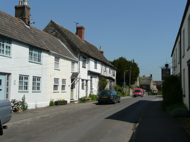
Bradenstoke is a small village located in the county of Wiltshire, England. Situated near the towns of Swindon and Chippenham, it lies within the North Wessex Downs Area of Outstanding Natural Beauty. The village is known for its picturesque surroundings, with rolling hills, lush green fields, and charming country cottages.

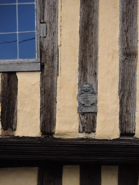
The focal point of Bradenstoke is the historic Bradenstoke Priory, which dates back to the 12th century. Originally a Benedictine monastery, the priory played a significant role in the area's religious and social history. Today, the ruins of the priory still stand, providing a glimpse into the past and attracting visitors interested in its architectural heritage.

The village offers a peaceful and tranquil atmosphere, making it an ideal destination for those seeking a retreat from the bustling city life. Its proximity to the North Wessex Downs provides ample opportunities for outdoor activities such as hiking, cycling, and picnicking. The surrounding area is also home to several nature reserves and wildlife habitats, making it a haven for nature enthusiasts.

While Bradenstoke is primarily a residential area, it does have a few amenities to cater to its residents. These include a village hall, a local pub, and a primary school. For more extensive amenities and services, residents can easily access nearby towns and cities.

Overall, Bradenstoke offers a charming countryside setting, rich history, and a close-knit community, making it an appealing place to live or visit for those seeking a peaceful retreat in the heart of Wiltshire.

If you have any feedback on the listing, please let us know in the comments section below.
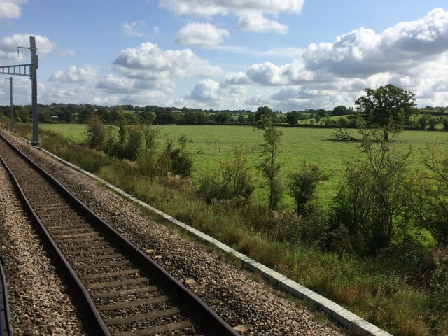
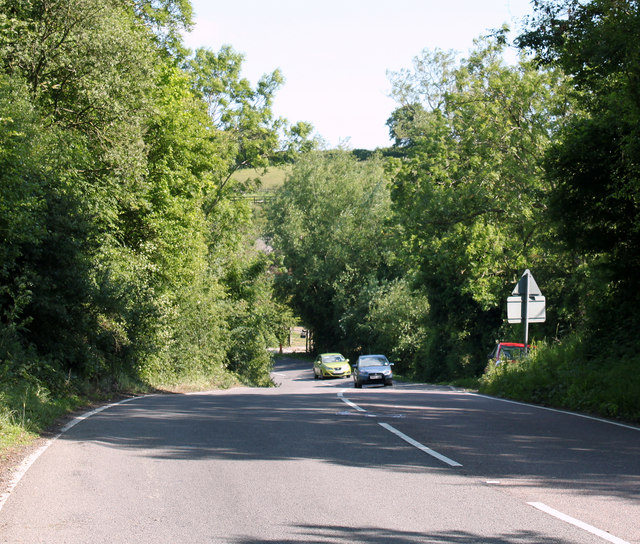
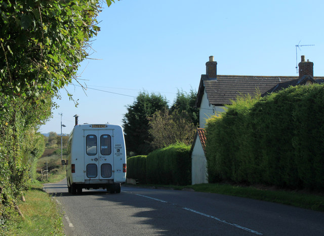
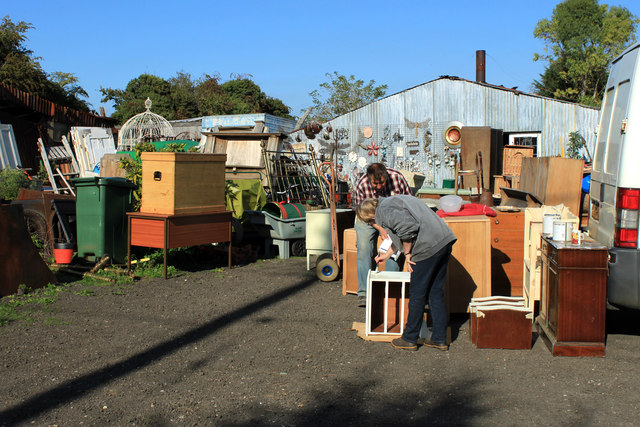
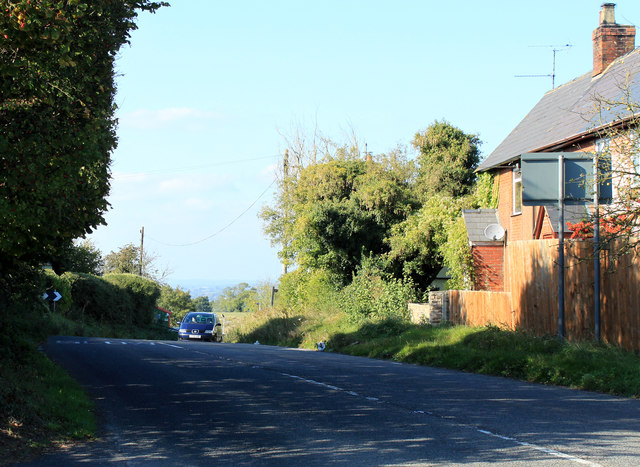
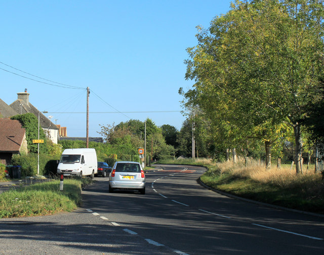
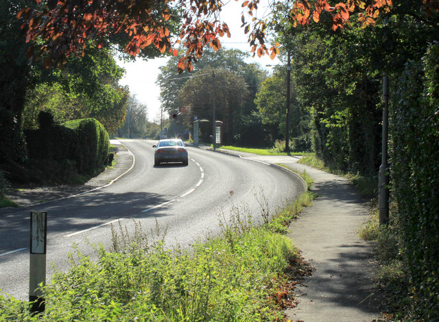
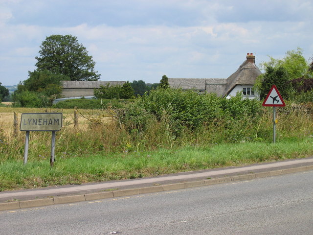
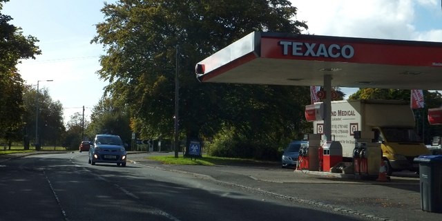
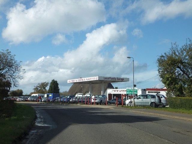
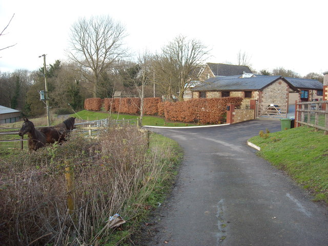
Bradenstoke Images

Images are sourced within 2km of 51.512846/-1.997519 or Grid Reference SU0079. Thanks to Geograph Open Source API. All images are credited.

From a Swindon-Bristol train, fields near Sodom Lane
2011 : B4069 heading west toward Christian Malford And Chippenham.
Just made it round the bend, some of the bends on this hill are easy to misjudge.
2011 : B4069 heading west toward Christian Malford
And Chippenham. Just made it round the bend, some of the bends on this hill are easy to misjudge.
2011 : B4069 heading into Lyneham Go to the top of the hill seen in <a href="https://www.geograph.org.uk/photo/924539">SU0079 : B4069 towards Lyneham</a>
2011 : B4069 heading into Lyneham
Go to the top of the hill seen in SU0079 : B4069 towards Lyneham
2011 : B4069 at the top of Lyneham Banks heading east Half a mile to the A3102 and Lyneham.
No more the sound of aircraft landing and leaving the RAF base a few hundred yards to the south.
2011 : B4069 at the top of Lyneham Banks heading east
Half a mile to the A3102 and Lyneham. No more the sound of aircraft landing and leaving the RAF base a few hundred yards to the south.
2011 : Pillars Antiques, Lyneham On the Wootton Bassett Road.
Becky attends to some essential restoration work while Keith acts in a supervisory capacity.
They invited me "round the back" to their gardening department but I know my limitations, five minutes in there and I would be trapped without hope of escape. A bit like the Lorelei on the Rhine.
2011 : Pillars Antiques, Lyneham
On the Wootton Bassett Road. Becky attends to some essential restoration work while Keith acts in a supervisory capacity. They invited me "round the back" to their gardening department but I know my limitations, five minutes in there and I would be trapped without hope of escape. A bit like the Lorelei on the Rhine.
2011 : B4069 at the top of Lyneham Banks Heading west and about to drop down to Dauntsey Lock on the way to Christian Malford and Chippenham.
2011 : B4069 at the top of Lyneham Banks
Heading west and about to drop down to Dauntsey Lock on the way to Christian Malford and Chippenham.
2011 : East over a ploughed field off the B4069 At The Banks.
Landing lights (now redundant) for the nearby Lyneham Airfield line up on the far side of the field. Houses on the edge of Lyneham peer over the hill.
2011 : East over a ploughed field off the B4069
At The Banks. Landing lights (now redundant) for the nearby Lyneham Airfield line up on the far side of the field. Houses on the edge of Lyneham peer over the hill.
2011 : A3102 South View heading north east On the edge of Lyneham toward Wootton Bassett.
2011 : A3102 South View heading north east
On the edge of Lyneham toward Wootton Bassett.
2011 : A3102 entering Lyneham From Wootton Bassett. After Lyneham heading south to Calne then on to Melksham.
2011 : A3102 entering Lyneham
From Wootton Bassett. After Lyneham heading south to Calne then on to Melksham.
2011 : Lane and footpath north of Lyneham Off the A3102. Heads north down the escarpment to Waite Hill Farm then joins Sodom Lane.
2011 : Lane and footpath north of Lyneham
Off the A3102. Heads north down the escarpment to Waite Hill Farm then joins Sodom Lane.
Lyneham, Wiltshire Sign on the B4069. As can be seen by the other sign, the C-130 Hercules aircraft flew over the road near here on approach to RAF Lyneham before they moved to RAF Brize Norton
Lyneham, Wiltshire
Sign on the B4069. As can be seen by the other sign, the C-130 Hercules aircraft flew over the road near here on approach to RAF Lyneham before they moved to RAF Brize Norton
The Mallard
The Mallard
Texaco filling station by A3102 in Lyneham
Car dealer near Lyneham
Turning to Bradenstoke in Lyneham Banks
RAF Lyneham airfield Ancillary buildings and a hangar on the disused RAF Lyneham airfield seen from the bridleway which runs alongside the perimeter fence. RAF Lyneham was closed in December 2012 when its functions were transferred to RAF Brize Norton.
RAF Lyneham airfield
Ancillary buildings and a hangar on the disused RAF Lyneham airfield seen from the bridleway which runs alongside the perimeter fence. RAF Lyneham was closed in December 2012 when its functions were transferred to RAF Brize Norton.
Catcomb Old Farm
Catcomb Old Farm
Insured in Bradenstoke An ancient house bears an insurance plaque, so marking it out as having some protection.
Insured in Bradenstoke
An ancient house bears an insurance plaque, so marking it out as having some protection.
Show me another place!

Bradenstoke is located at Grid Ref: SU0079 (Lat: 51.512846, Lng: -1.997519)

Unitary Authority: Wiltshire

Police Authority: Wiltshire

What 3 Words

///permanent.surveyors.avid. Near Lyneham, Wiltshire

Nearby Locations

Bradenstoke

Related Wikis

Related Videos

Travel Vaccination Clinic in #wiltshire #swindon

Need to get travel vaccine for your next trip abroad? Our travel clinic at Lyneham Pharmacy in Swindon, Wiltshire offers a ...

Tour Aotearoa Episode 3 National Park to Wellington

Come along for the ride down to Wellington, where we cycle tour through rain, hail and shine (and very cold weather).

Vlog Travel: Cruise to Fiordland National Park New Zealand

Fiordland is one of the most dramatic and beautiful parts of New Zealand; the power of Fiordland's scenery never fails to enthral ...

New Zealand - Hobbiton, Rotorua, Tongariro, Taupo

New Zealand - Hobbiton, Rotorua, Tongariro, Taupo.

Nearby Amenities

Located within 500m of 51.512846,-1.997519
Bradenstoke
Is In: Wiltshire
Place: village
Wikidata: Q4954492
Lat/Long: 51.513871/-1.9984446
Post Office
Bradenstoke Post Office and Stores
Shop: convenience
Lat/Long: 51.5134249/-2.001093
The data included in this document is from www.openstreetmap.org. The data is made available under ODbL.

Have you been to Bradenstoke?

Leave your review of Bradenstoke below (or comments, questions and feedback).