Bradbourne

Settlement in Derbyshire Derbyshire Dales

England

Bradbourne

Lea Hall Lea Hall Farm.
Lea Hall Credit: Peter McDermott

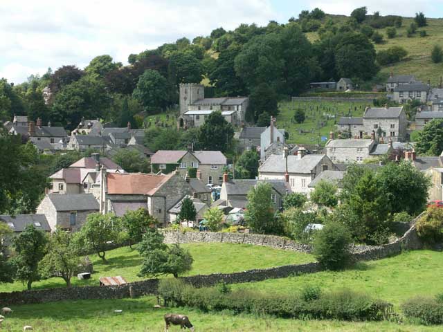
Bradbourne is a picturesque village nestled in the rolling hills of Derbyshire, England. Located in the Derbyshire Dales district, it is situated about 10 miles north of the historic market town of Ashbourne. With a population of around 200 inhabitants, it offers a tranquil and close-knit community.

The village is steeped in history, evidenced by its Grade I listed St. Peter's Church, which dates back to the 13th century. The church boasts an impressive Norman doorway and a striking tower, making it a prominent feature of the village skyline. The surrounding countryside provides a stunning backdrop, inviting nature enthusiasts to explore the beautiful walking trails and enjoy the peaceful ambiance.

Bradbourne's charm extends beyond its historical landmarks. The local pub, The Bradbourne Arms, offers a warm and friendly atmosphere, serving delicious food and local ales. The village also hosts various community events throughout the year, including summer fetes and Christmas celebrations, bringing residents together.

For those seeking outdoor activities, the nearby Carsington Water offers a plethora of options. This renowned reservoir provides opportunities for sailing, windsurfing, fishing, and cycling, attracting visitors from far and wide.

Overall, Bradbourne embodies the quintessential English village, with its rich history, idyllic scenery, and strong sense of community. It is a haven for those seeking a peaceful retreat, surrounded by the beauty of the Derbyshire countryside.

If you have any feedback on the listing, please let us know in the comments section below.
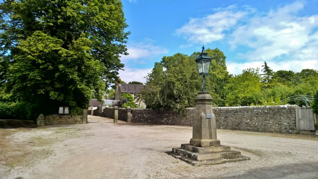
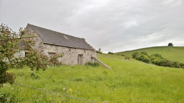
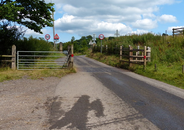
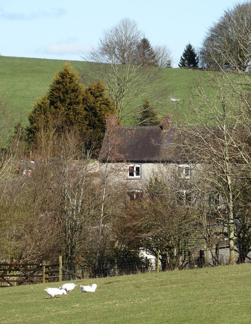
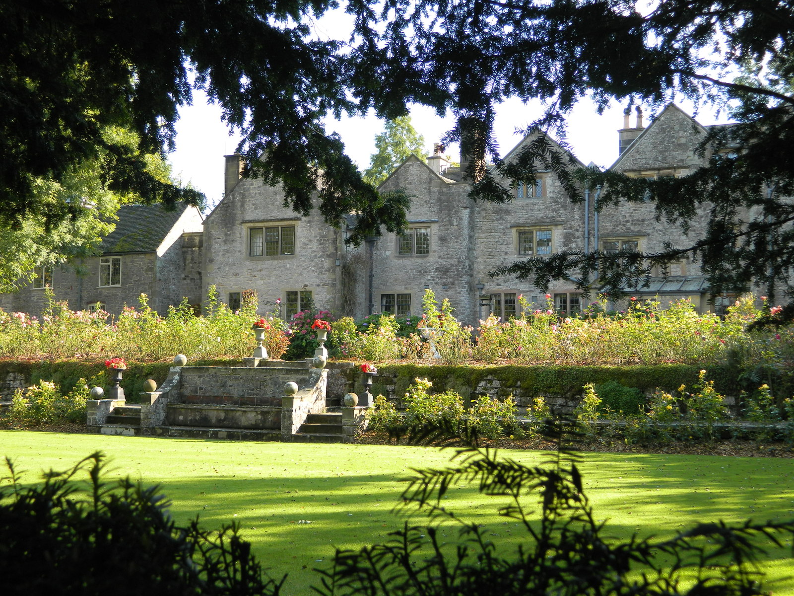
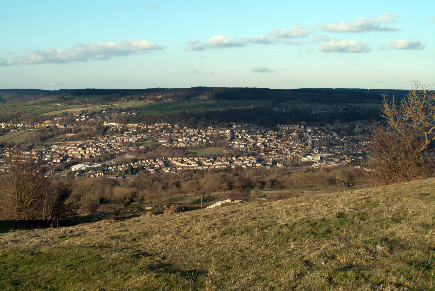
Bradbourne Images

Images are sourced within 2km of 53.070571/-1.688496 or Grid Reference SK2052. Thanks to Geograph Open Source API. All images are credited.

Lea Hall Lea Hall Farm.
Lea Hall
Lea Hall Farm.
Gorsehill Farm
Gorsehill Farm
Sitterlow Farm
Sitterlow Farm
Gorsehill Farm
Gorsehill Farm
Diamond Jubilee Monument, Bradbourne For Queen Victoria's Jubilee.

Bradbourne is a Thankful Village, one of only 51 in the country not to have lost a man in the First World War, and the only one in Derbyshire. (Later research indicates there may have been 53 villages.)
Diamond Jubilee Monument, Bradbourne
For Queen Victoria's Jubilee. Bradbourne is a Thankful Village, one of only 51 in the country not to have lost a man in the First World War, and the only one in Derbyshire. (Later research indicates there may have been 53 villages.)
Post box and hydrant by Netherton Hall
Brackendale Lane
Brackendale Lane
Dilapidated barn near Bradbourne
Track to New House Farm
Looking down Wigber Low
Cattle grid on the lane near Bradbourne Mill
Ancient place of the dead on Wigber Low Archaeological evidence of funeral activity at this panoramic location go back to the Middle Neolithic Period. Its use as a place of the dead then continued for many centuries - even into the Anglo Saxon period.
See <span class="nowrap"><a title="http://pecsaetan.weebly.com/wigber-low.html" rel="nofollow ugc noopener" href="http://pecsaetan.weebly.com/wigber-low.html">Link</a><img style="margin-left:2px;" alt="External link" title="External link - shift click to open in new window" src="https://s1.geograph.org.uk/img/external.png" width="10" height="10"/></span>
Ancient place of the dead on Wigber Low
Archaeological evidence of funeral activity at this panoramic location go back to the Middle Neolithic Period. Its use as a place of the dead then continued for many centuries - even into the Anglo Saxon period. See LinkExternal link
On Wigber Low Looking northwards. Wigber Low is the site of many ancient funeral events and burials. Close by, in the Middle Neolithic period, it is believed that bodies were left up here as carrion - perhaps with a sense of returning human remains to Nature. See <span class="nowrap"><a title="http://pecsaetan.weebly.com/wigber-low.html" rel="nofollow ugc noopener" href="http://pecsaetan.weebly.com/wigber-low.html">Link</a><img style="margin-left:2px;" alt="External link" title="External link - shift click to open in new window" src="https://s1.geograph.org.uk/img/external.png" width="10" height="10"/></span>
On Wigber Low
Looking northwards. Wigber Low is the site of many ancient funeral events and burials. Close by, in the Middle Neolithic period, it is believed that bodies were left up here as carrion - perhaps with a sense of returning human remains to Nature. See LinkExternal link
Resilient hawthorn tree on Wigber Low For information about Wigber Low see <span class="nowrap"><a title="http://pecsaetan.weebly.com/wigber-low.html" rel="nofollow ugc noopener" href="http://pecsaetan.weebly.com/wigber-low.html">Link</a><img style="margin-left:2px;" alt="External link" title="External link - shift click to open in new window" src="https://s1.geograph.org.uk/img/external.png" width="10" height="10"/></span>
Resilient hawthorn tree on Wigber Low
For information about Wigber Low see LinkExternal link
View from Wigber Low to Bradbourne For perhaps thousands of years Wigber Low witnessed many funeral ceremonies amidst these grey limestone rocks and pebbles. See <span class="nowrap"><a title="http://pecsaetan.weebly.com/wigber-low.html" rel="nofollow ugc noopener" href="http://pecsaetan.weebly.com/wigber-low.html">Link</a><img style="margin-left:2px;" alt="External link" title="External link - shift click to open in new window" src="https://s1.geograph.org.uk/img/external.png" width="10" height="10"/></span>
View from Wigber Low to Bradbourne
For perhaps thousands of years Wigber Low witnessed many funeral ceremonies amidst these grey limestone rocks and pebbles. See LinkExternal link
View of Newhouse Farm - the farmhouse
On Standlow Lane, Kniveton View to the old lime kiln partly hidden by the bushes beyond the gate.
On Standlow Lane, Kniveton
View to the old lime kiln partly hidden by the bushes beyond the gate.
All Saints church at Ballidon. Seen from the Limestone way footpath.
All Saints church at Ballidon.
Seen from the Limestone way footpath.
Show me another place!

Bradbourne is located at Grid Ref: SK2052 (Lat: 53.070571, Lng: -1.688496)

Administrative County: Derbyshire

District: Derbyshire Dales

Police Authority: Derbyshire

What 3 Words

///deploying.disgraced.unzipped. Near Ashbourne, Derbyshire

Nearby Locations

Bradbourne

Related Wikis

Nearby Amenities

Located within 500m of 53.070571,-1.688496
Bradbourne
Is In: Derbyshire, England, UK
Place: village
Wikidata: Q2198694
Wikipedia: en:Bradbourne
Lat/Long: 53.0708082/-1.688404
Post Box
Collection Times: Mo-Fr 16:30, Sa 07:30
Operator: Royal Mail
Post Box Type: lamp
Ref: DE6 863
Royal Cypher: EIIR
Royal Cypher Wikidata: Q33102113
Lat/Long: 53.0704407/-1.6881107
Barrier: stile
Bicycle: yes
Foot: yes
Material: stone
Source: survey;gps
Stile: squeezer
Lat/Long: 53.0692524/-1.6951302
Barrier: stile
Material: stone
Source: survey;gps
Step Count: 3
Stile: stepover
Lat/Long: 53.0693735/-1.6852344
Barrier: stile
Material: wood
Source: survey;gps
Stile: stepover
Lat/Long: 53.0710669/-1.684528
Barrier: stile
Material: stone
Source: survey;gps
Stile: squeezer
Lat/Long: 53.0716789/-1.69144
Barrier: stile
Material: wood
Source: survey;gps
Stile: stepover
Lat/Long: 53.0721219/-1.6905541
Barrier: stile
Material: wood
Source: survey;gps
Stile: squeezer
Lat/Long: 53.0731851/-1.6909629
Barrier: entrance
Source: survey;gps
Lat/Long: 53.0697689/-1.6872672
Barrier: stile
Material: stone
Source: survey;gps
Stile: squeezer
Lat/Long: 53.0723186/-1.6850208
Defibrillator
Booth: K6
Covered: booth
Defibrillator Location: Telephone box.
Disused Amenity: telephone
Emergency: defibrillator
Man Made: telephone_box
Note: Former telephone box now used for a defibrillator
Old Phone: +44 1335 390311
Opening Hours: 24/7
Lat/Long: 53.0705857/-1.6890219
Barrier: stile
Check Date: 2023-11-14
Material: stone
Source: survey;gps
Stile: squeezer
Lat/Long: 53.0686279/-1.68236
Barrier: stile
Bicycle: yes
Foot: yes
Material: stone
Source: survey;gps
Stile: squeezer
Lat/Long: 53.0698469/-1.6940254
Havenhill Dale
Place: locality
Source: OS OpenData StreetView
Lat/Long: 53.0685028/-1.6922387
Historic: memorial
Image: https://archive.org/details/bradbourne-2021-04-05/PXL_20210405_111121802.jpg
Inscription: To commemorate the sixty years reign of Queen Victoria 1837-1897
Note: Pillar with lamp on top commemorating Queen Victoria's jubilee. It is not a war memorial (there were no casualties here in WW1 and WW2) but a later plaque added to the pillar notes it as a 'Doubly Thankful Village'
Lat/Long: 53.0706276/-1.6907841
Waste Basket
Lat/Long: 53.0706426/-1.6903896
Bench
Backrest: yes
Material: wood
Lat/Long: 53.0706426/-1.6904362
Board Type: notice
Information: board
Tourism: information
Lat/Long: 53.0705557/-1.6907609
Grit Bin
Lat/Long: 53.0702884/-1.6926657
Ivy Cottages Bradbourne
Brand: National Grid
Brand Wikidata: Q1465461
Image: https://archive.org/details/bradbourne-2021-04-05/PXL_20210405_132557092.jpg
Man Made: street_cabinet
Operator: National Grid Electricity Distribution Plc
Operator Old: Western Power Distribution
Operator Wikidata: Q7988183
Owner: National Grid Electricity Distribution (East Midlands) Plc
Owner Wikidata: Q114348127
Power: substation
Rating: 100 kVA
Ref: 12D7082
Street Cabinet: power
Substation: minor_distribution
Lat/Long: 53.0693817/-1.6861787
Fire Hydrant
Emergency: fire_hydrant
Fire Hydrant Position: lane
Fire Hydrant Type: underground
Lat/Long: 53.0689571/-1.6847907
Grit Bin
Material: plastic
Lat/Long: 53.0698529/-1.6940732
Colour: Green
Man Made: street_cabinet
Lat/Long: 53.0693632/-1.6862208
The data included in this document is from www.openstreetmap.org. The data is made available under ODbL.

Have you been to Bradbourne?

Leave your review of Bradbourne below (or comments, questions and feedback).