Wearde
Settlement in Cornwall
England
Wearde

Wearde is a small village located in the county of Cornwall, England. Situated in the southern part of the county, Wearde is nestled within the beautiful landscape of the Tamar Valley Area of Outstanding Natural Beauty. The village is surrounded by rolling hills, lush meadows, and picturesque countryside, making it an idyllic destination for nature lovers and outdoor enthusiasts.
With a population of around 500 residents, Wearde remains a close-knit community with a strong sense of local pride. The village is characterized by its charming cottages made of local stone, giving it a quintessentially Cornish feel. The historic St. Mary's Church, dating back to the 12th century, stands as a prominent landmark in the village, showcasing its rich heritage.
Although small in size, Wearde offers several amenities to its residents and visitors. The village boasts a local pub, The Tamar Arms, which provides a welcoming atmosphere and serves traditional British cuisine. Additionally, a small convenience store caters to the everyday needs of the community.
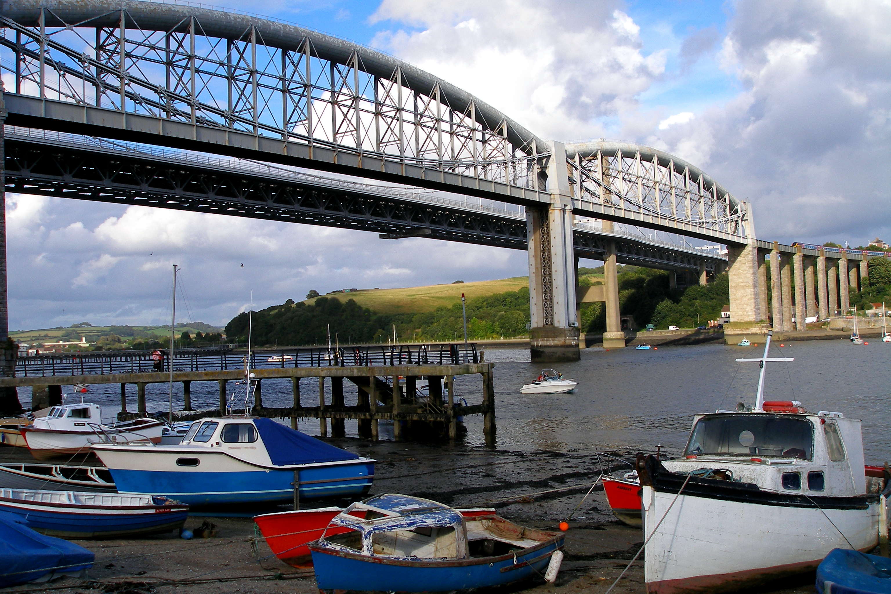
Wearde's location is ideal for exploring the wider region of Cornwall. The village is within easy reach of popular attractions such as the historic town of Saltash, the Tamar Valley Mining District World Heritage Site, and the breathtaking beaches along the nearby coastline. Outdoor activities, including hiking, cycling, and fishing, are readily accessible from Wearde, making it a haven for those seeking an active lifestyle in a tranquil setting.
Overall, Wearde offers a peaceful and picturesque rural retreat, with its natural beauty and sense of community making it a desirable place to live or visit in Cornwall.
If you have any feedback on the listing, please let us know in the comments section below.
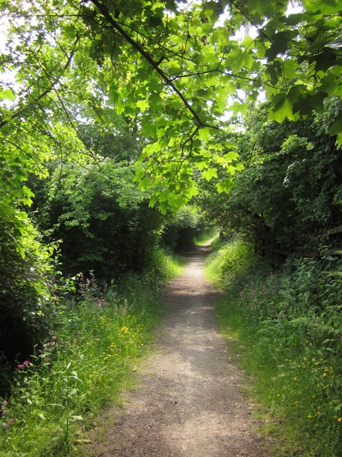
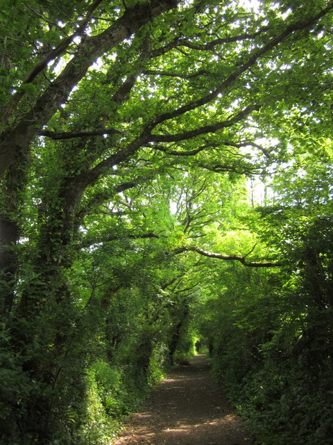
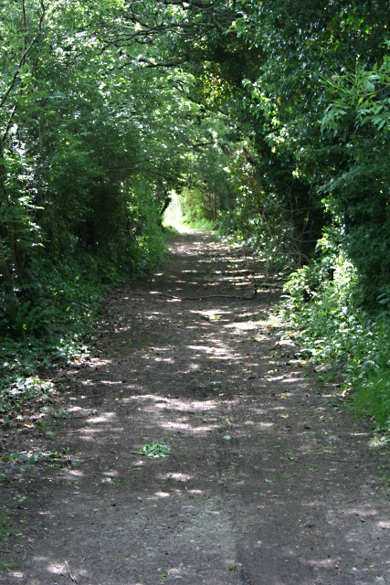
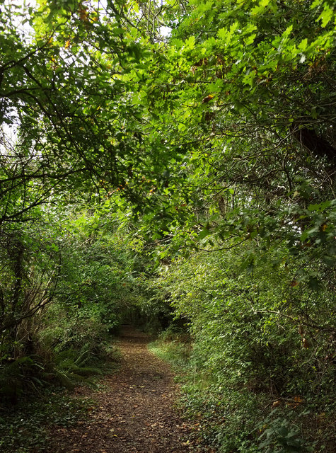
Wearde Images
Images are sourced within 2km of 50.403589/-4.2179723 or Grid Reference SX4258. Thanks to Geograph Open Source API. All images are credited.


Wearde is located at Grid Ref: SX4258 (Lat: 50.403589, Lng: -4.2179723)
Unitary Authority: Cornwall
Police Authority: Devon and Cornwall
What 3 Words
///bells.neatly.dorm. Near Saltash, Cornwall
Related Wikis

Wearde
Wearde is a southeastern suburb of Saltash in Cornwall, England, UK. == References ==

Saltash Community School
Saltash Community School is a mixed 11 to 18 academy school established in its present form in 1965, in Saltash, Cornwall, England. The school was previously...
Saltash
Saltash (Cornish: Essa) is a town and civil parish in south Cornwall, England. It had a population of 16,184 in 2011 census. Saltash faces the city of...
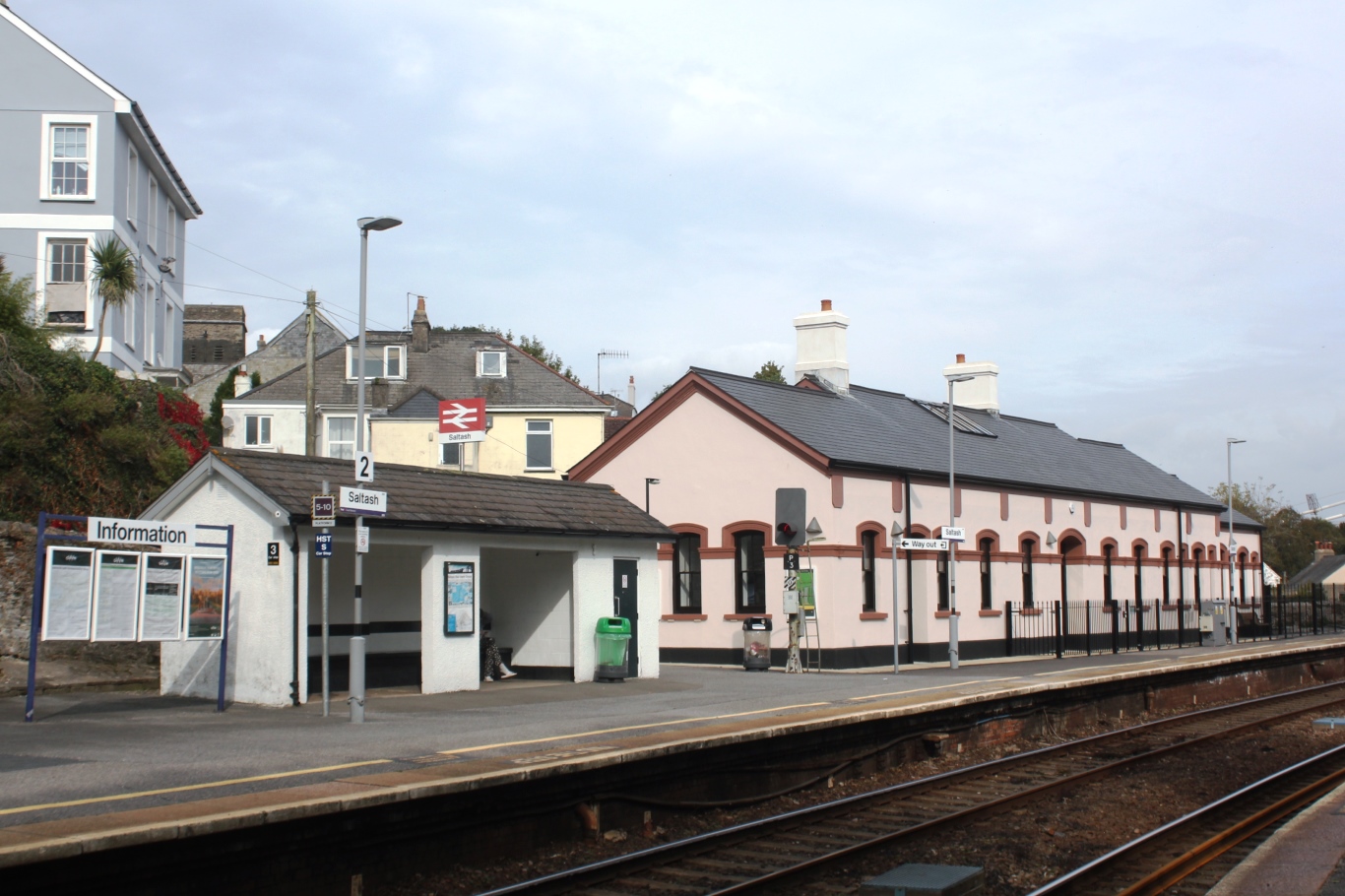
Saltash railway station
Saltash railway station (Cornish: Essa) serves the town of Saltash in Cornwall, England. It is on the south side of the town between the Royal Albert Bridge...
Nearby Amenities
Located within 500m of 50.403589,-4.2179723Have you been to Wearde?
Leave your review of Wearde below (or comments, questions and feedback).