Waun-gilwen
Settlement in Carmarthenshire
Wales
Waun-gilwen

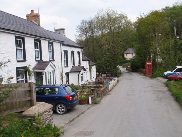
Waun-gilwen is a picturesque village located in the county of Carmarthenshire, Wales. Situated just a few miles from the town of Newcastle Emlyn, this charming village offers a tranquil and scenic setting for residents and visitors alike.
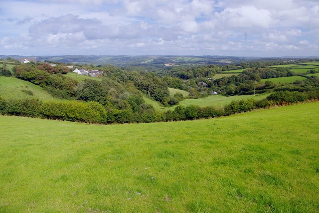
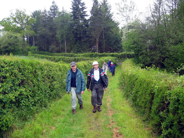
The village is surrounded by rolling hills and lush green countryside, providing a peaceful and idyllic atmosphere. It is known for its stunning views of the nearby Preseli Hills, which add to the beauty of the landscape.
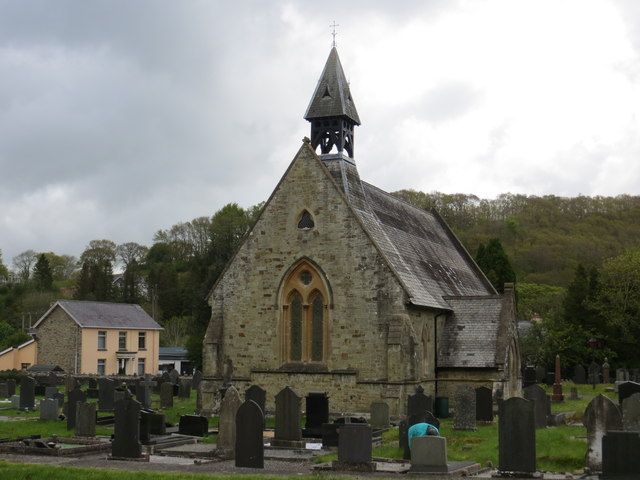
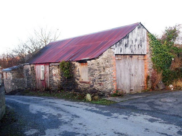
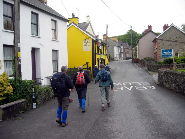
Waun-gilwen is home to a close-knit community, with a small but friendly population. The village has a rich history, with the origins of some of its buildings dating back several centuries. Traditional Welsh architecture can be seen throughout the village, adding to its character and charm.
Despite its small size, Waun-gilwen offers a range of amenities to cater to the needs of its residents. These include a local pub, a village hall, and a small convenience store. The village also has a primary school, ensuring that families with young children have access to education within the community.
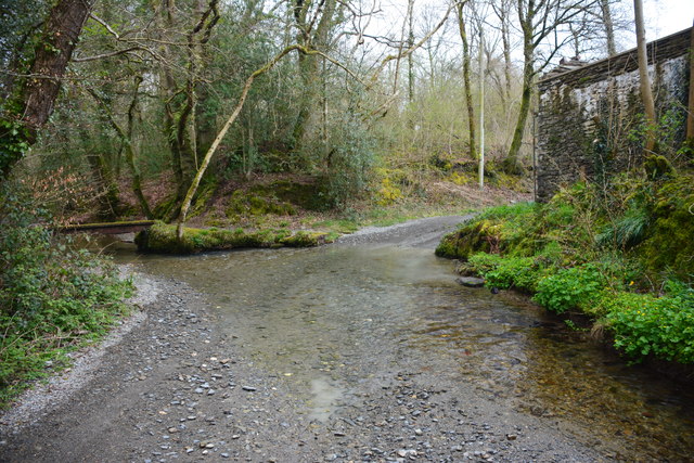
For outdoor enthusiasts, there are plenty of opportunities for walking and hiking in the surrounding countryside. The village is also conveniently located near the River Teifi, providing opportunities for fishing and water-based activities.
Overall, Waun-gilwen is a delightful village that offers a peaceful and scenic lifestyle, making it an ideal place for those seeking a rural retreat in Carmarthenshire.
If you have any feedback on the listing, please let us know in the comments section below.
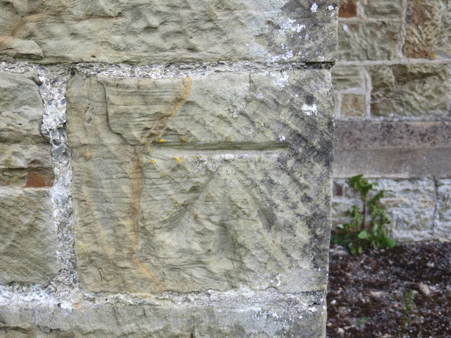
Waun-gilwen Images
Images are sourced within 2km of 52.026886/-4.413054 or Grid Reference SN3439. Thanks to Geograph Open Source API. All images are credited.


Waun-gilwen is located at Grid Ref: SN3439 (Lat: 52.026886, Lng: -4.413054)
Unitary Authority: Carmarthenshire
Police Authority: Dyfed Powys
Also known as: Waungilwen
What 3 Words
///fluctuate.toast.crowbar. Near Newcastle Emlyn, Ceredigion
Nearby Locations
Related Wikis

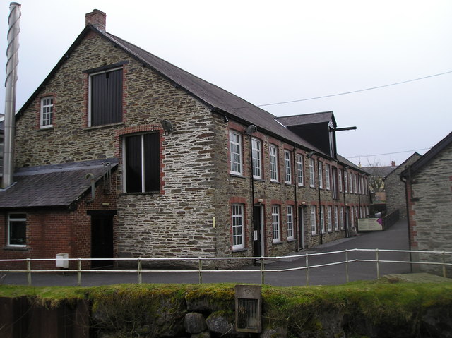
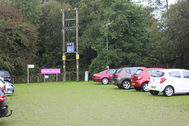
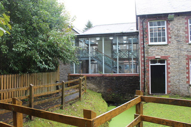
National Wool Museum
The National Wool Museum, located in Drefach Felindre, Llandysul, Carmarthenshire, is part of Amgueddfa Cymru – Museum Wales. == Background == Historically...

Teifi Valley Railway
The Teifi Valley Railway (Welsh: Rheilffordd Dyffryn Teifi) is a 2 ft (610 mm) narrow gauge railway occupying a section of the former standard gauge Great...

Dre-fach Felindre
Dre-fach Felindre is a village in Carmarthenshire, West Wales. It is located four miles south-east of Newcastle Emlyn. It lies at the confluence of three...

Cwmhiraeth
Cwmhiraeth is a hamlet in Carmarthenshire, Wales, contained in the Dre-fach Felindre district. While the name has no exact meaning in English, it can be...
Nearby Amenities
Located within 500m of 52.026886,-4.413054Have you been to Waun-gilwen?
Leave your review of Waun-gilwen below (or comments, questions and feedback).