Wash Common

Settlement in Berkshire

England

Wash Common

Skinners Green Looking south from the northeast corner of the square towards farm buildings. The square consists of farmland, crossed by the A34 trunk road.
Skinners Green Credit: Brendan and Ruth McCartney

Wash Common is a small residential area located in Berkshire, England. It is situated on the outskirts of the town of Newbury, approximately 50 miles west of London. The area is known for its peaceful and scenic surroundings, with lush green fields and woodlands, making it an attractive place for residents seeking a quieter lifestyle.

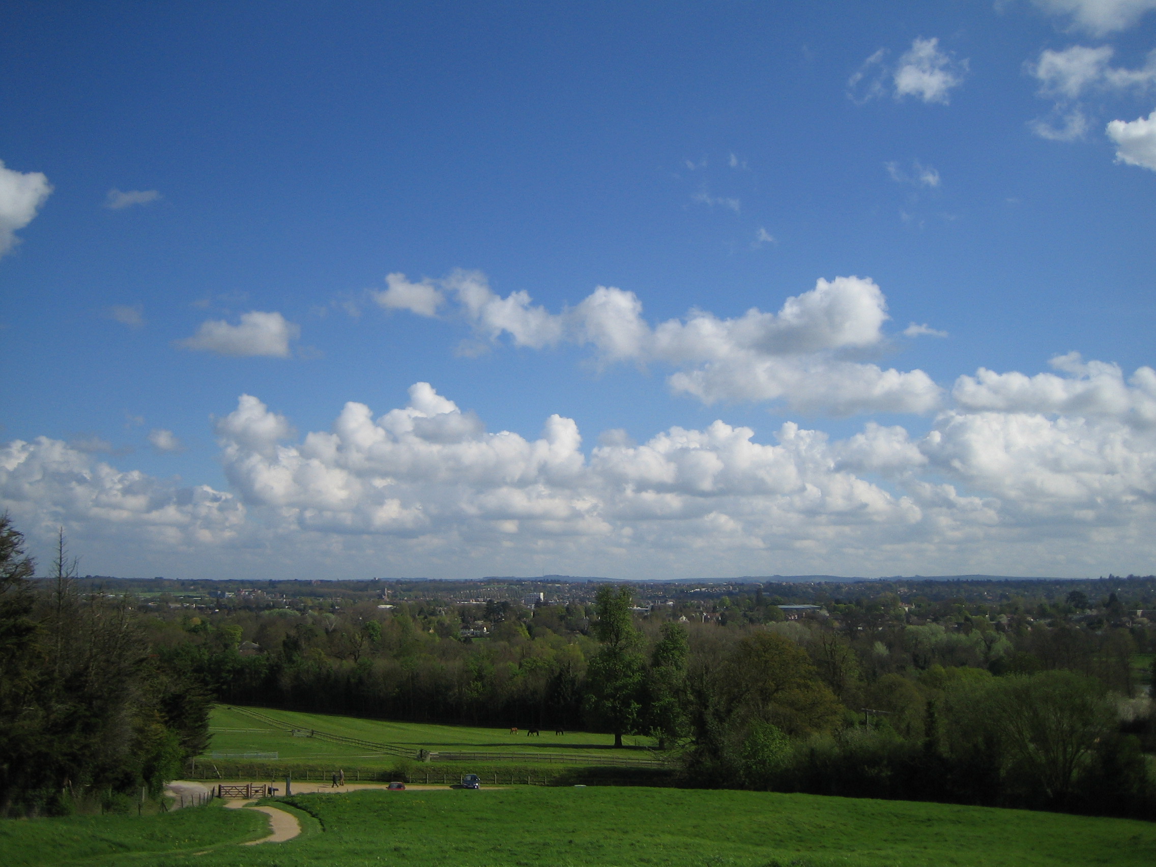
One of the notable features of Wash Common is its close proximity to the North Wessex Downs Area of Outstanding Natural Beauty, providing residents with ample opportunities for outdoor activities such as hiking, cycling, and picnicking. The common itself is a large open space offering recreational facilities including a playground, tennis courts, and a cricket pitch, making it a popular spot for families and sports enthusiasts.

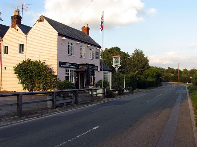
The residential properties in Wash Common vary in style, ranging from modern houses to traditional cottages, offering a diverse mix of architectural designs. The area is primarily residential, with a few local amenities including a convenience store, a pub, and a community center.

Transportation in Wash Common is well-connected, with regular bus services to nearby towns and easy access to major road networks, including the A34 and M4 motorway. The town of Newbury, located just a short distance away, offers a wider range of amenities including shopping centers, restaurants, and entertainment venues.

Overall, Wash Common provides a tranquil and picturesque setting for residents, while offering easy access to both rural and urban amenities, making it an ideal place to live for those seeking a balance between peaceful countryside living and convenient city access.

If you have any feedback on the listing, please let us know in the comments section below.
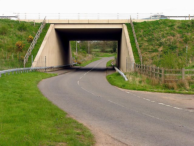
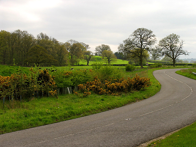
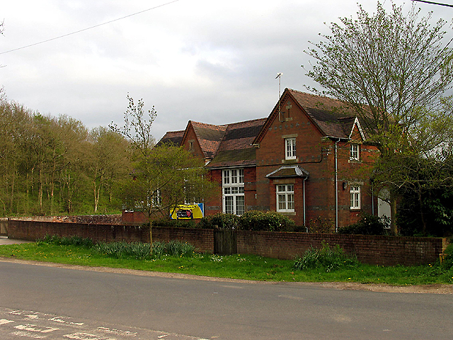
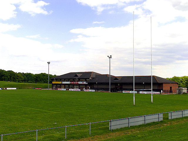
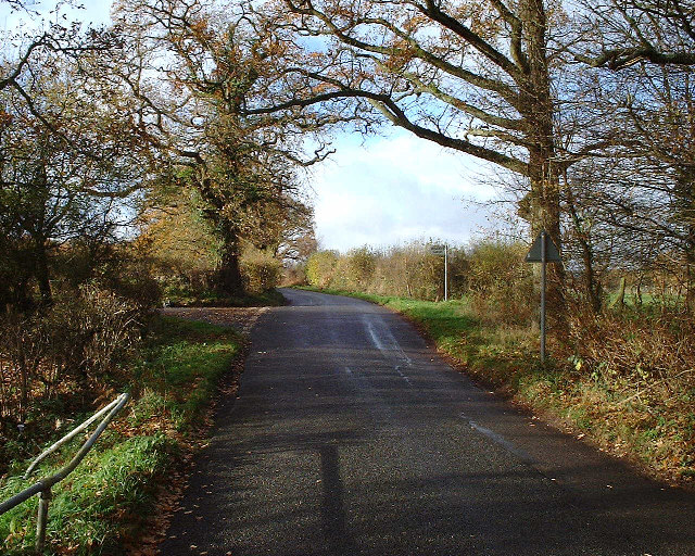
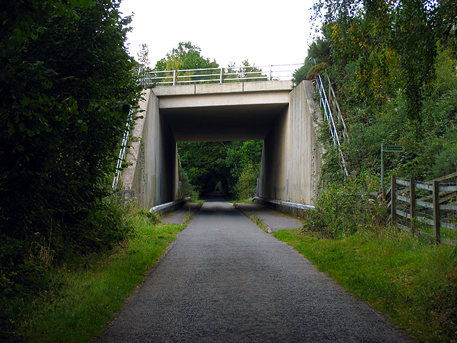
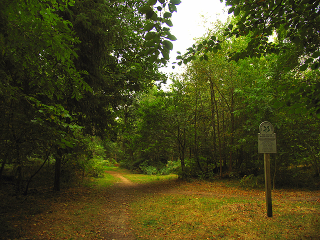
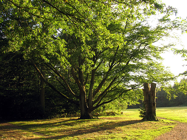
Wash Common Images

Images are sourced within 2km of 51.375699/-1.3531982 or Grid Reference SU4564. Thanks to Geograph Open Source API. All images are credited.

Skinners Green Looking south from the northeast corner of the square towards farm buildings. The square consists of farmland, crossed by the A34 trunk road.
Skinners Green
Looking south from the northeast corner of the square towards farm buildings. The square consists of farmland, crossed by the A34 trunk road.
Wash Common The large water tower in the northern part of the square, which is largely residential housing estates.
Wash Common
The large water tower in the northern part of the square, which is largely residential housing estates.
Bridge on the A34 near Newbury The bridge crosses the minor road in the middle of the northern half of the grid square. The picture was taken from the south side looking north.
Bridge on the A34 near Newbury
The bridge crosses the minor road in the middle of the northern half of the grid square. The picture was taken from the south side looking north.
Wheatlands Farmland near Newbury This farmland to the east of the road is viewed from the north end looking south east.
Wheatlands Farmland near Newbury
This farmland to the east of the road is viewed from the north end looking south east.
Enborne C of E School The school is situated just north of the centre of the grid square at the intersection. The picture was taken somewhat south east side of the school, looking north west.
Enborne C of E School
The school is situated just north of the centre of the grid square at the intersection. The picture was taken somewhat south east side of the school, looking north west.
Newbury Rugby Football Club The rugby field, clubhouse and stand are situated in the northern half of the grid square. This picture was taken looking more or less south east.
Newbury Rugby Football Club
The rugby field, clubhouse and stand are situated in the northern half of the grid square. This picture was taken looking more or less south east.
Turning for Boames lane off Skinners Green Lane Turning for Boames lane off Skinners Green Lane
Turning for Boames lane off Skinners Green Lane
A34 Newbury bypass over Wash Water road A34 Newbury bypass over Wash Water road
A34 Newbury bypass over Wash Water road
Modern Dwelling between Enborne and Newtown This square is almost all residential with a number of new housing developments. This is an example of one of them.
Modern Dwelling between Enborne and Newtown
This square is almost all residential with a number of new housing developments. This is an example of one of them.
Road into Newbury This road is at the intersection on the south eastern edge of the square.
Road into Newbury
This road is at the intersection on the south eastern edge of the square.
Elizabeth Road near Newbury Where Elizabeth Road meets the A343, in the north eastern corner of the square. This square is largely residential. These dwellings are more or less typical of those in the streets in this section of the square.
Elizabeth Road near Newbury
Where Elizabeth Road meets the A343, in the north eastern corner of the square. This square is largely residential. These dwellings are more or less typical of those in the streets in this section of the square.
The Falkland Memorial: Newbury This memorial is in the north-easternmost tip of this square on the south western side of the intersection. Although the map has the description in the adjacent square, the memorial itself is on a triangle of land in this square.
The Falkland Memorial: Newbury
This memorial is in the north-easternmost tip of this square on the south western side of the intersection. Although the map has the description in the adjacent square, the memorial itself is on a triangle of land in this square.
Pasture near Wash Water This pasture is on the north side of the minor road in the southern half of the square. Most of the square is farmland.
Pasture near Wash Water
This pasture is on the north side of the minor road in the southern half of the square. Most of the square is farmland.
Wash Water Road near Enborne This is a view of the end of Wash Water road and the public house marked ph on the 1:50 000 map. The pub is on the north side of the road. The road joins the A343 to the right (east) of the pub and leads off the A343 to Enborne. This square contains some of the residential area of Wash Common and the key roads linking Enborne and Wash Water.
Wash Water Road near Enborne
This is a view of the end of Wash Water road and the public house marked ph on the 1:50 000 map. The pub is on the north side of the road. The road joins the A343 to the right (east) of the pub and leads off the A343 to Enborne. This square contains some of the residential area of Wash Common and the key roads linking Enborne and Wash Water.
A34(T) Bridge near Newtown This square is largely farmland and plantations belonging to the English Forestry commission. This bridge carries the A34(T) over one of the lanes passing through the forested area.
A34(T) Bridge near Newtown
This square is largely farmland and plantations belonging to the English Forestry commission. This bridge carries the A34(T) over one of the lanes passing through the forested area.
The Chase: National Trust The Chase is managed by the National Trust and is in the southern half of the square.
The Chase: National Trust
The Chase is managed by the National Trust and is in the southern half of the square.
The Chase near Enborne This national trust property is very popular for family outings and dog walkers and occupies a significant proportion of this square.
The Chase near Enborne
This national trust property is very popular for family outings and dog walkers and occupies a significant proportion of this square.
The Chase National Trust Woodland Late afternoon at The Chase, in the north western section of the square.
The Chase National Trust Woodland
Late afternoon at The Chase, in the north western section of the square.
Show me another place!

Wash Common is located at Grid Ref: SU4564 (Lat: 51.375699, Lng: -1.3531982)

Unitary Authority: West Berkshire

Police Authority: Thames Valley

What 3 Words

///visit.inches.cover. Near Greenham, Berkshire

Related Wikis

Wash Common

Wash Common is a small suburb to the south of Newbury. It is built on the former Newbury Wash, which was flat open heathland overlooking Newbury, and until...

Wash Water

Wash Water is a hamlet on the border of Berkshire, and Hampshire. It is divided between the civil parishes of Enborne (where according to Grid Refs the...

Park House School

Park House School is a secondary school in Newbury, Berkshire in the United Kingdom. It accepts students aged 11–18 and currently has approximately 1,300...

First Battle of Newbury

The First Battle of Newbury was a battle of the First English Civil War that was fought on 20 September 1643 between a Royalist army, under the personal...

Nearby Amenities

Located within 500m of 51.375699,-1.3531982
Pub
The Bowler's Arms
Lat/Long: 51.3789138/-1.3522769
Post Box
Is In: Wash Common
Lat/Long: 51.3775701/-1.3500993
Bus Stop
Villiers Way
Shelter: no
Lat/Long: 51.3791531/-1.3507829
Bus Stop
Villiers Way
Bus: yes
Naptan AtcoCode: 030056490001
Naptan NaptanCode: brkmwdt
Public Transport: platform
Lat/Long: 51.379145/-1.3502765
Wash Common
Is In: Berkshire
Place: suburb
Source: NPE
Wikidata: Q7971416
Lat/Long: 51.3773326/-1.3476063
Bus Stop
Holborne Close
Bus: yes
Naptan AtcoCode: 030054300001
Naptan NaptanCode: brkdgjm
Public Transport: platform
Shelter: no
Lat/Long: 51.374714/-1.348432
Post Box
Lat/Long: 51.3749115/-1.3481591
Bus Stop
Meyrick Drive
Bus: yes
Naptan AtcoCode: 030075960001
Naptan NaptanCode: brkpgjw
Public Transport: platform
Shelter: no
Lat/Long: 51.377832/-1.34981
Bus Stop
Chiltern Close
Bus: yes
Public Transport: platform
Shelter: no
Lat/Long: 51.3760124/-1.3512041
Bus Stop
Glendale Avenue Terminus
Bus: yes
Naptan AtcoCode: 030052570001
Naptan NaptanCode: brkgptj
Public Transport: platform
Shelter: yes
Lat/Long: 51.377697/-1.348114
Barrier: bollard
Lat/Long: 51.377871/-1.3491313
Barrier: bollard
Lat/Long: 51.3779569/-1.3490781
Parking
Fee: no
Parking: street_side
Lat/Long: 51.3772699/-1.351693
Addr City: Newbury
Addr Housenumber: 37
Addr Street: Glendale Avenue
Building: house
Building Levels: 2
Lat/Long: 51.3786026/-1.347701
Addr City: Newbury
Addr Housenumber: 39
Addr Street: Glendale Avenue
Building: house
Building Levels: 2
Lat/Long: 51.3786199/-1.3477662
Addr City: Newbury
Addr Housenumber: 41
Addr Street: Glendale Avenue
Building: house
Building Levels: 2
Lat/Long: 51.3786365/-1.3478354
Addr Housenumber: 42
Addr Street: Glendale Avenue
Addr Suburb: Washcommon
Building: house
Lat/Long: 51.3778987/-1.3475721
Addr City: Newbury
Addr Street: Mansell Drive
Addr Suburb: Washcommon
Building: house
Note: I'm guessing this is 14 as there seems to be a very local aversion to 13's.
Lat/Long: 51.3775202/-1.3484998
Power: pole
Lat/Long: 51.375448/-1.3579192
Power: pole
Lat/Long: 51.3750952/-1.3565383
The data included in this document is from www.openstreetmap.org. The data is made available under ODbL.

Have you been to Wash Common?

Leave your review of Wash Common below (or comments, questions and feedback).