Warstock
Settlement in Worcestershire
England
Warstock
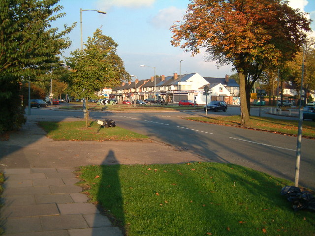
Warstock is a small village located in the county of Worcestershire, England. Situated approximately 7 miles south of Birmingham city center, it is part of the larger metropolitan borough of Solihull. The village is nestled between the residential areas of Yardley Wood and Shirley, offering a peaceful and suburban environment.
Warstock boasts a rich history dating back to the 12th century when it was mentioned in the Domesday Book. The name "Warstock" is believed to have originated from Old English, meaning "a place of watchmen" or "a stockade for defense." Throughout the centuries, the village has experienced various changes and developments, gradually transforming into the charming community it is today.
The village is primarily residential, characterized by its picturesque rows of well-maintained houses and gardens, creating a pleasant and welcoming atmosphere. There are also several green spaces and parks dotted around the area, providing ample opportunities for outdoor recreation and leisure activities.
Warstock benefits from its convenient location, with excellent transport links to Birmingham and other neighboring towns. The village is served by local bus routes, connecting residents to nearby amenities, schools, and shopping centers. Additionally, the nearby Yardley Wood train station provides easy access to Birmingham New Street and other destinations.
In terms of amenities, Warstock offers a range of local shops, including convenience stores, cafes, and a post office, catering to the everyday needs of its residents. For more extensive shopping and entertainment options, the bustling city center of Birmingham is just a short drive away.
Overall, Warstock is a peaceful and well-connected village, providing a desirable living environment for its residents, while also offering easy access to the wider amenities and opportunities of the surrounding area.
If you have any feedback on the listing, please let us know in the comments section below.
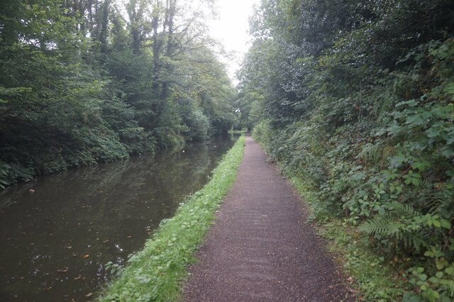
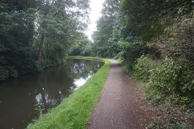
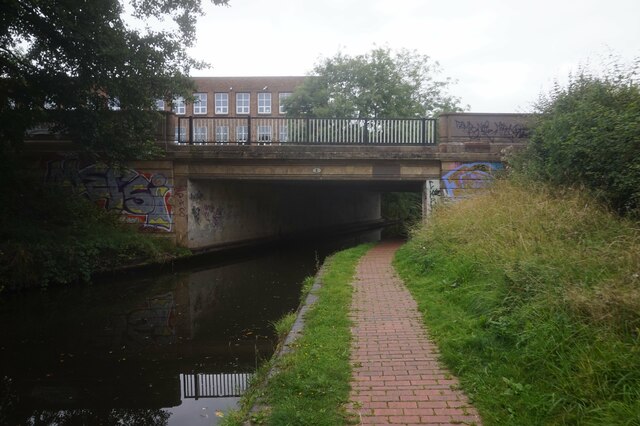
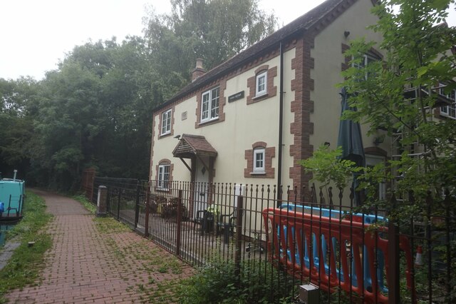
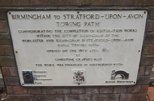
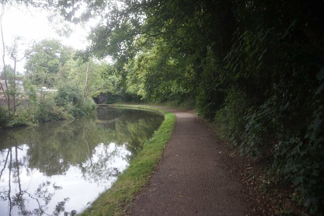
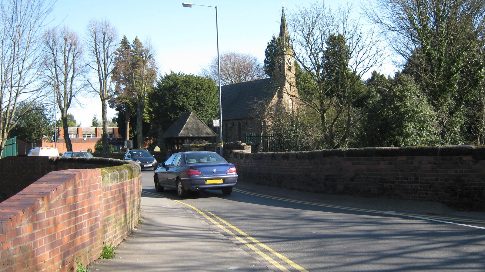
Warstock Images
Images are sourced within 2km of 52.410116/-1.8667223 or Grid Reference SP0979. Thanks to Geograph Open Source API. All images are credited.


Warstock is located at Grid Ref: SP0979 (Lat: 52.410116, Lng: -1.8667223)
Unitary Authority: Birmingham
Police Authority: West Midlands
What 3 Words
///lion.title.stiff. Near Shirley, West Midlands
Nearby Locations
Related Wikis
Christ Church, Yardley Wood
Christ Church, Yardley Wood is a Grade II listed parish church in the Church of England in Birmingham. == History == The foundation stone was laid on 14...

Warstock
Warstock is a district within the city of Birmingham, UK, in the southernmost suburbs roughly 1 km east of the A435 and within the ward of Highter's Heath...

Highter's Heath
Highter's Heath (often Highters Heath) is a district and ward lying on the southern boundary of the city of Birmingham, UK. The district of Highter's Heath...

Maypole, Birmingham
The Maypole, Birmingham is a location on the A435 road on the southern edge of Birmingham England, between Druids Heath and Highter's Heath and bordering...
Nearby Amenities
Located within 500m of 52.410116,-1.8667223Have you been to Warstock?
Leave your review of Warstock below (or comments, questions and feedback).