Braceborough

Settlement in Lincolnshire South Kesteven

England

Braceborough

Old Hall Farmhouse A grade II listed building at the side of the Macmillan Way long distance path, which at this point runs along the road.

See <span class="nowrap"><a title="https://historicengland.org.uk/listing/the-list/list-entry/1062674" rel="nofollow ugc noopener" href="https://historicengland.org.uk/listing/the-list/list-entry/1062674">Link</a><img style="margin-left:2px;" alt="External link" title="External link - shift click to open in new window" src="https://s1.geograph.org.uk/img/external.png" width="10" height="10"/></span> for the house.
Old Hall Farmhouse Credit: Bob Harvey

Braceborough is a small village located in the county of Lincolnshire, in the East Midlands region of England. Situated approximately 8 miles southwest of the town of Stamford, Braceborough is known for its picturesque rural setting and tranquil atmosphere.

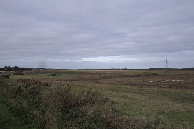
The village is nestled amidst the beautiful Lincolnshire countryside, characterized by rolling hills, open fields, and charming farmhouses. It is surrounded by the Braceborough and Wilsthorpe Fen, a designated Site of Special Scientific Interest, which boasts a diverse range of wildlife and plant species, making it a popular destination for nature enthusiasts.

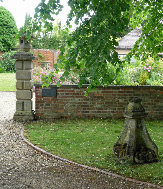
Braceborough itself is a close-knit community with a population of around 200 residents. The village features a mix of traditional stone cottages and more modern houses, giving it a unique and timeless character. The historic Braceborough Hall, a Grade II listed building dating back to the 17th century, stands as a prominent landmark within the village.

Although Braceborough is a relatively small village, it benefits from excellent transport links. The A6121 road runs through the village, providing easy access to nearby towns and cities such as Stamford, Grantham, and Peterborough. The village also has a regular bus service, connecting residents to the wider region.

Despite its size, Braceborough has a strong community spirit, with various local events and activities taking place throughout the year. These include summer fĂȘtes, Christmas markets, and community gatherings at the village hall. The village also boasts a well-maintained cricket pitch and tennis court for recreational purposes.

Overall, Braceborough offers a peaceful and idyllic lifestyle, making it an attractive place to live for those seeking a rural retreat in the heart of Lincolnshire.

If you have any feedback on the listing, please let us know in the comments section below.
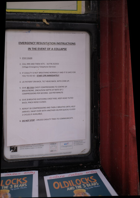
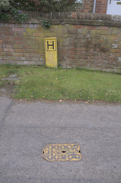
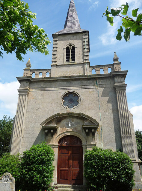
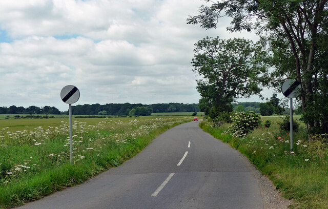
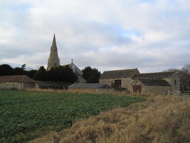
Braceborough Images

Images are sourced within 2km of 52.705108/-0.402854 or Grid Reference TF0813. Thanks to Geograph Open Source API. All images are credited.

Old Hall Farmhouse A grade II listed building at the side of the Macmillan Way long distance path, which at this point runs along the road.

See <span class="nowrap"><a title="https://historicengland.org.uk/listing/the-list/list-entry/1062674" rel="nofollow ugc noopener" href="https://historicengland.org.uk/listing/the-list/list-entry/1062674">Link</a><img style="margin-left:2px;" alt="External link" title="External link - shift click to open in new window" src="https://s1.geograph.org.uk/img/external.png" width="10" height="10"/></span> for the house.
Old Hall Farmhouse
A grade II listed building at the side of the Macmillan Way long distance path, which at this point runs along the road. See LinkExternal link for the house.
Former phone box No longer in use for a payphone, this now belongs to the parish council who have put a defibrillator inside.
Former phone box
No longer in use for a payphone, this now belongs to the parish council who have put a defibrillator inside.
Defibrillator in phone box Inside <a href="https://www.geograph.org.uk/photo/6998599">TF0913 : Former phone box</a>.
Defibrillator in phone box
The Defib box Inside <a href="https://www.geograph.org.uk/photo/6998599">TF0913 : Former phone box</a>.
The Defib box
Life saving advice I have photographed many of these public access defibrillators, but this is the first I have seen with advice about the whole treatment of the victim.  I love this country.  A few well-meaning individuals have sat down and thought about when this device may be used, and taken their own actions to help.  This is why local voluntary action works so well.
Life saving advice
I have photographed many of these public access defibrillators, but this is the first I have seen with advice about the whole treatment of the victim. I love this country. A few well-meaning individuals have sat down and thought about when this device may be used, and taken their own actions to help. This is why local voluntary action works so well.
This made me smile A postbox with a sense of humour.
This made me smile
A postbox with a sense of humour.
Hydrant and Marker In the road at Wilsthorpe, a fire hydrant cover.

See <a href="https://www.geograph.org.uk/photo/6998745">TF0913 : Wilsthorpe cottages</a> for the context
Hydrant and Marker
In the road at Wilsthorpe, a fire hydrant cover. See TF0913 : Wilsthorpe cottages for the context
Wilsthorpe cottages Late 19th century workers cottages, extended at either end in the middle 20th century until the range is twice as long.

The fire hydrant is seen in <a href="https://www.geograph.org.uk/photo/6998740">TF0913 : Hydrant and Marker</a>
Wilsthorpe cottages
Late 19th century workers cottages, extended at either end in the middle 20th century until the range is twice as long. The fire hydrant is seen in TF0913 : Hydrant and Marker
Fingerpost All the tiny fen-edge villages south of Thurlby
Fingerpost
All the tiny fen-edge villages south of Thurlby
Field at Wilsthorpe
Field at Wilsthorpe
Fieldwork A lot of excavation going on
Fieldwork
A lot of excavation going on
Rival machines A Caterpillar D5KLGP mini bulldozer, and a JCB JS130LC excavator.
Rival machines
A Caterpillar D5KLGP mini bulldozer, and a JCB JS130LC excavator.
Carvings, Greatford Some of the numerous eccentric carvings scattered around the village. They are by Major Fitzilliam of Greatford Hall and date from the 1930s - see other pics in the square.
Carvings, Greatford
Some of the numerous eccentric carvings scattered around the village. They are by Major Fitzilliam of Greatford Hall and date from the 1930s - see other pics in the square.
St Faith, Wilsthorpe The 1715 rebuild was subjected to "cruel alterations" by James Fowler in 1862, "showing the C19 contempt for the C18, paralleled in the mid-C20 contempt for the C19". Fowler added the spire and changed all the windows. Grade II* listed.
St Faith, Wilsthorpe
The 1715 rebuild was subjected to "cruel alterations" by James Fowler in 1862, "showing the C19 contempt for the C18, paralleled in the mid-C20 contempt for the C19". Fowler added the spire and changed all the windows. Grade II* listed.
Country road, Greatford Heading north-west out of the village to the open road.
Country road, Greatford
Heading north-west out of the village to the open road.
Country road near Obthorpe (1) Lined mostly with ash trees.
Country road near Obthorpe (1)
Lined mostly with ash trees.
Country road near Obthorpe (2) Most of the trees by the road are ashes.
Country road near Obthorpe (2)
Most of the trees by the road are ashes.
Country road near Wilsthorpe
Show me another place!

Braceborough is located at Grid Ref: TF0813 (Lat: 52.705108, Lng: -0.402854)

Division: Parts of Kesteven

Administrative County: Lincolnshire

District: South Kesteven

Police Authority: Lincolnshire

What 3 Words

///collision.sublime.quarrel. Near Essendine, Rutland

Nearby Locations

Braceborough

Related Wikis

Braceborough

Braceborough is a village in the civil parish of Braceborough and Wilsthorpe, in the South Kesteven district of Lincolnshire, England. It is situated off...

Braceborough and Wilsthorpe

Braceborough and Wilsthorpe is a civil parish in the South Kesteven district of Lincolnshire, England. Braceborough and Wilsthorpe are less than 1 mile...

Wilsthorpe, Lincolnshire

Wilsthorpe is a village in the civil parish of Braceborough and Wilsthorpe, in the South Kesteven district, in the county of Lincolnshire, England. It...

Greatford

Greatford is a village and civil parish in the South Kesteven district of Lincolnshire, England. It is situated 2 miles (3 km) west from the A15, 4.5 miles...

Nearby Amenities

Located within 500m of 52.705108,-0.402854
Braceborough
Is In: Lincolnshire, England, UK
Place: village
Source: NPE
Lat/Long: 52.705869/-0.4020882
Bus Stop
Telephone Box
Naptan AtcoCode: 270000014544
Naptan Bearing: S
Naptan CommonName: Telephone Box
Naptan Indicator: opp
Naptan Landmark: Telephone Box
Naptan NaptanCode: linagtda
Naptan Street: Main Street
Naptan Verified: no
Source: naptan_import
Lat/Long: 52.7057089/-0.4029706
Bus Stop
Telephone Box
Naptan AtcoCode: 2700LBTB6687
Naptan Bearing: N
Naptan CommonName: Telephone Box
Naptan Indicator: adj
Naptan Landmark: Telephone Box
Naptan NaptanCode: lingdtwd
Naptan Street: Main Street
Naptan Verified: no
Source: naptan_import
Lat/Long: 52.7057198/-0.4031182
Passing Place
Lat/Long: 52.708748/-0.3997633
Community Centre
Braceborough Village Hall
Addr City: Braceborough
Addr Postcode: PE9 4NT
Addr Street: Church Lane
Fhrs Authority: South Kesteven
Fhrs Id: 238314
Fhrs Local Authority Id: 3998
Source: Bing;local knowledge
Lat/Long: 52.7048799/-0.4028932
Telephone
Booth: K6
Covered: booth
Operator: BT
Phone: +44 1778 560212
Lat/Long: 52.7058156/-0.4029706
Post Box
Post Box Type: lamp
Royal Cypher: EIIR
Royal Cypher Wikidata: Q33102113
Lat/Long: 52.7058465/-0.4029853
Social Facility
Braceborough Hall Retirement Home
Addr City: Braceborough
Addr Postcode: PE9 4NT
Addr Street: Church Lane
Fhrs Authority: South Kesteven
Fhrs Id: 238244
Fhrs Local Authority Id: 3988
Social Facility: group_home
Social Facility For: senior
Lat/Long: 52.7056516/-0.4019129
The data included in this document is from www.openstreetmap.org. The data is made available under ODbL.

Have you been to Braceborough?

Leave your review of Braceborough below (or comments, questions and feedback).