Wardley
Settlement in Rutland
England
Wardley
Wardley is a small village located in the county of Rutland, in the East Midlands region of England. Situated approximately 2 miles north of the town of Uppingham, Wardley is a picturesque settlement known for its tranquil and rural surroundings.
With a population of around 200 residents, Wardley maintains a close-knit community atmosphere. The village is characterized by its charming stone buildings, many of which date back several centuries, adding to the area's historical appeal. The local architecture includes a mix of thatched cottages and traditional brick houses.
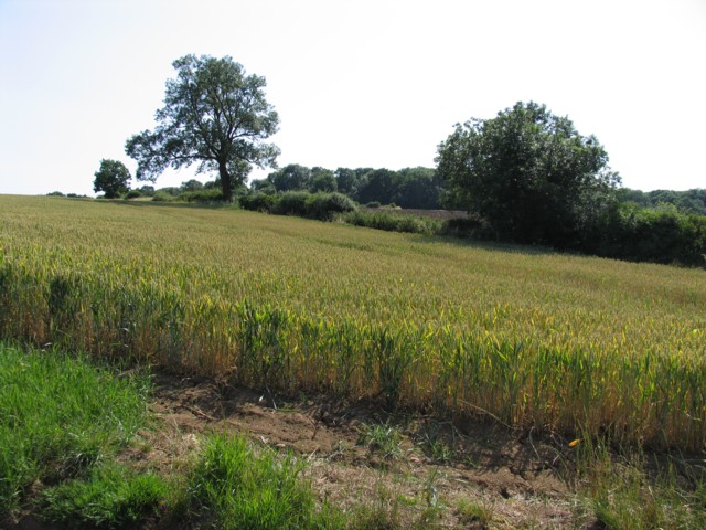
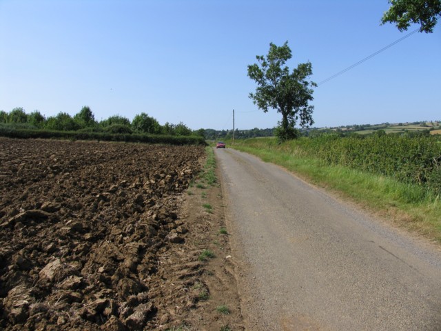
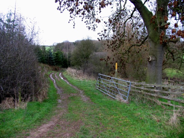
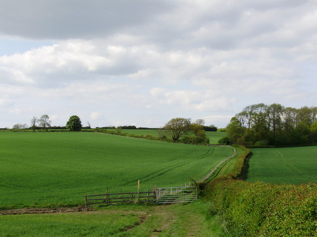
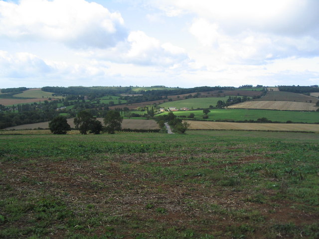
Wardley is surrounded by beautiful countryside, making it an ideal location for outdoor enthusiasts. The village is particularly popular with walkers, as it offers easy access to numerous footpaths and hiking trails that meander through the rolling hills and lush green fields of Rutland. The nearby Rutland Water, one of the largest reservoirs in England, is a popular destination for birdwatching, sailing, and other water-based activities.
Although Wardley is a small village, it benefits from its close proximity to Uppingham, which offers a wider range of amenities, including shops, schools, and healthcare facilities. The village itself has limited services, with a small church and a community hall serving as the focal points for social gatherings and events.
Overall, Wardley is a tranquil and scenic village, offering residents and visitors alike a peaceful escape from the hustle and bustle of larger towns and cities.
If you have any feedback on the listing, please let us know in the comments section below.
Wardley Images
Images are sourced within 2km of 52.593648/-0.77186773 or Grid Reference SK8300. Thanks to Geograph Open Source API. All images are credited.


Wardley is located at Grid Ref: SK8300 (Lat: 52.593648, Lng: -0.77186773)
Unitary Authority: Rutland
Police Authority: Leicestershire
What 3 Words
///backtrack.city.torch. Near Ridlington, Rutland
Related Wikis

St Botolph's Church, Wardley
St Botolph's Church, Wardley is a redundant Anglican church in the small village of Wardley, Rutland, England. It is recorded in the National Heritage...
Wardley, Rutland
Wardley is a village and civil parish in the county of Rutland in the East Midlands of England. The population at the 2001 census was 32. At the 2011 census...
Beaumont Chase
Beaumont Chase is a civil parish in the county of Rutland in the East Midlands of England. It is to the west of Uppingham, north of Stoke Dry, and on a...

Allexton Wood
Allexton Wood is a 25.9-hectare (64-acre) biological Site of Special Scientific Interest north-east of Hallaton in Leicestershire.This coppice semi-natural...
Nearby Amenities
Located within 500m of 52.593648,-0.77186773Have you been to Wardley?
Leave your review of Wardley below (or comments, questions and feedback).