Wapley

Settlement in Gloucestershire

England

Wapley

Mown path
Mown path Credit: don cload

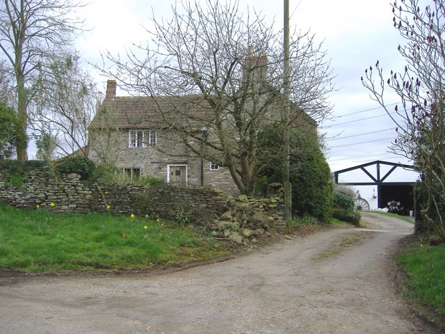
Wapley is a small village located in the county of Gloucestershire, England. Situated approximately 15 miles northeast of Bristol, it falls within the South Gloucestershire district. With a population of around 400 residents, Wapley offers a peaceful and rural living environment.

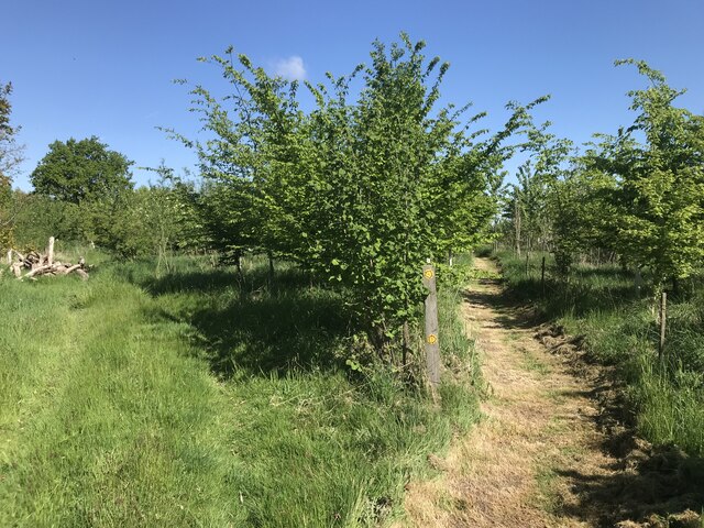
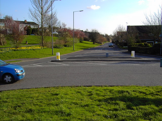
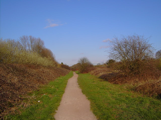
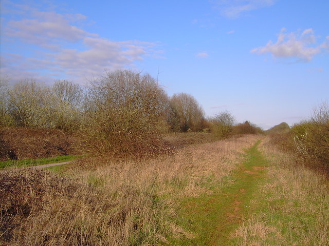
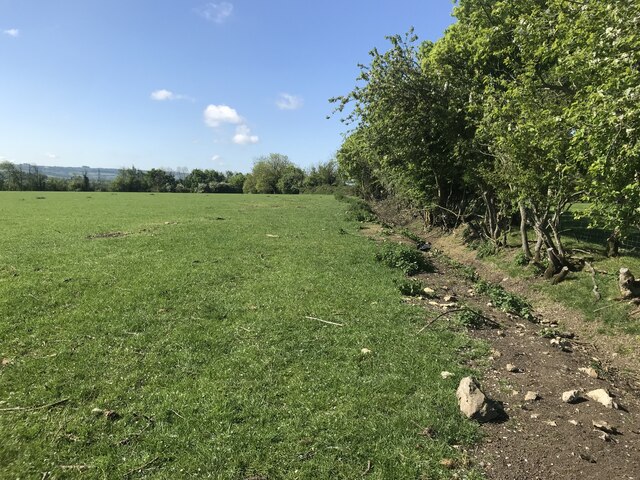
The village is set amidst a picturesque countryside, characterized by rolling hills, lush green fields, and charming woodlands. Its idyllic location makes it an ideal destination for nature lovers and outdoor enthusiasts, with numerous walking and cycling trails available in the surrounding area.

Wapley is home to several historic buildings, including St. Peter's Church, a grade II* listed structure dating back to the 12th century. Its beautiful architecture and serene atmosphere make it a popular spot for visitors and locals alike. The village also boasts a small community center, providing a hub for social activities and events.

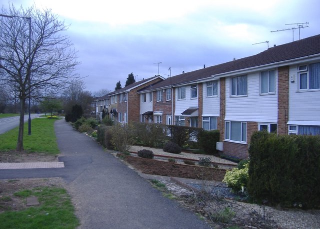
Although Wapley itself is relatively small, it benefits from its proximity to larger neighboring towns and cities. Bristol, with its vibrant cultural scene, shopping centers, and employment opportunities, is easily accessible by road. Additionally, the nearby market town of Chipping Sodbury offers a range of amenities and services, including shops, restaurants, and schools.

Overall, Wapley presents a charming rural retreat, offering a peaceful and close-knit community atmosphere with easy access to nearby urban areas. Its natural beauty, rich history, and convenient location make it an attractive place to live or visit for those seeking a tranquil and picturesque setting.

If you have any feedback on the listing, please let us know in the comments section below.
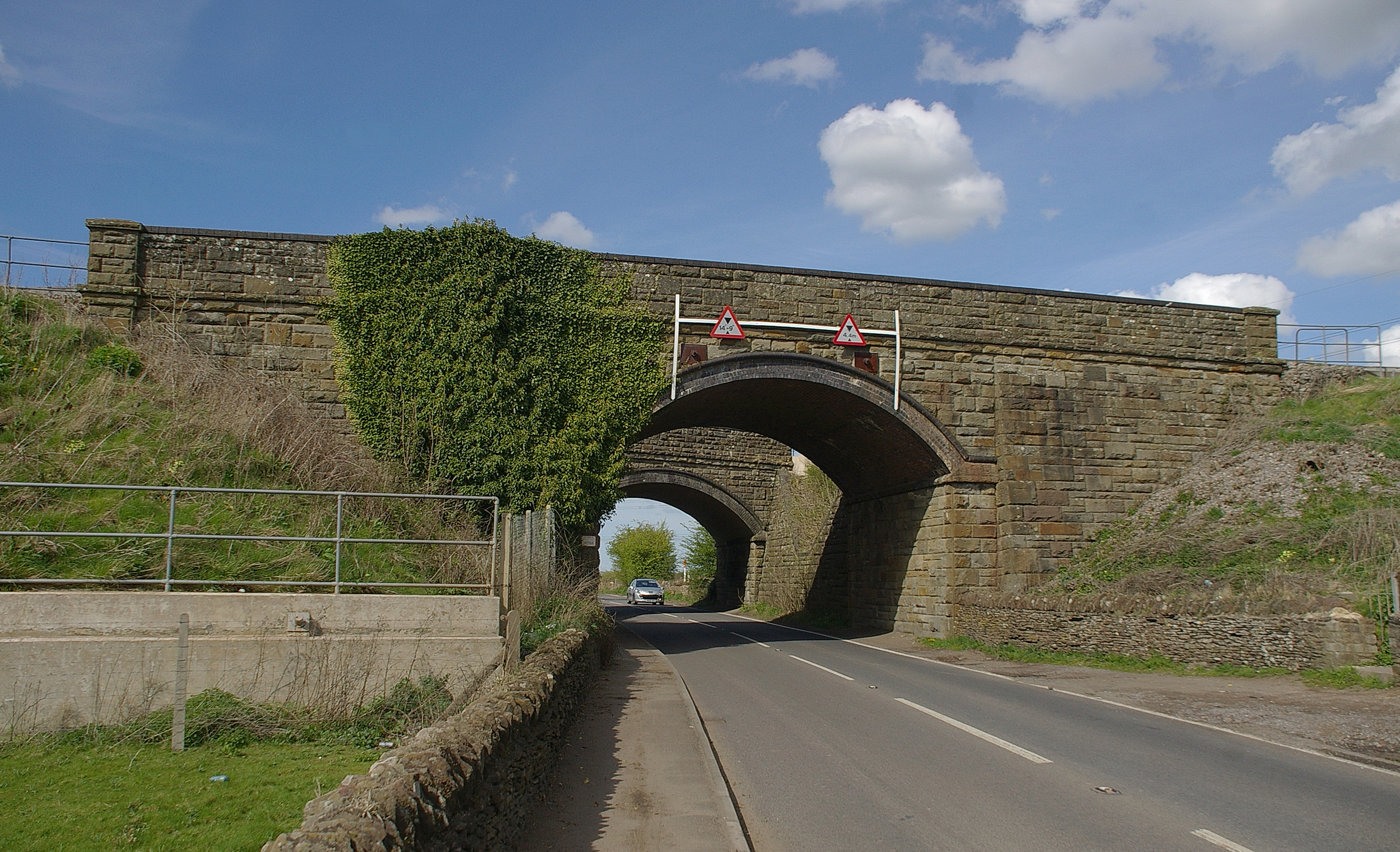
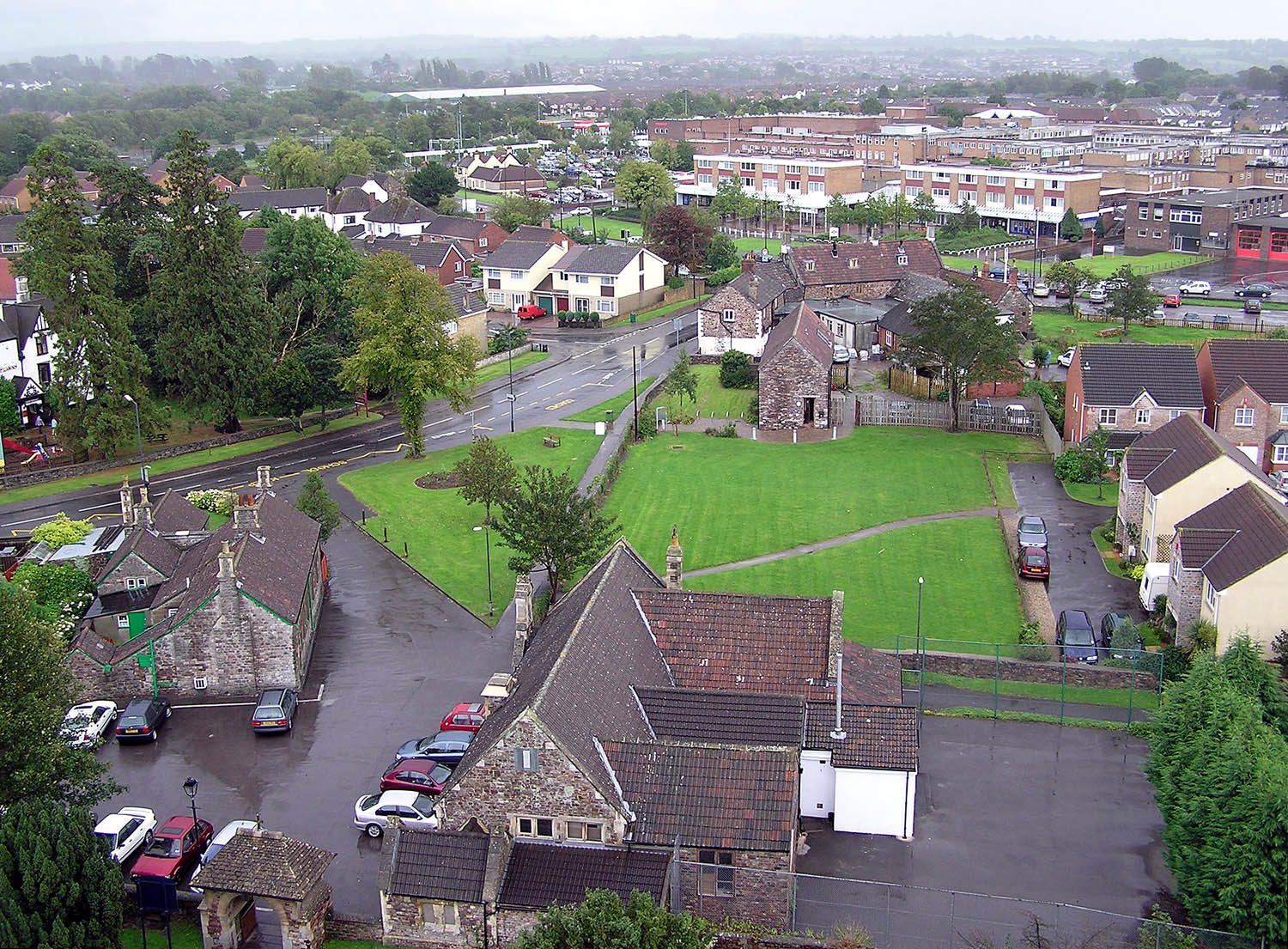
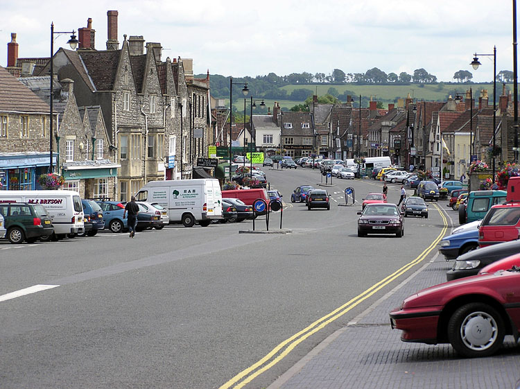
Wapley Images

Images are sourced within 2km of 51.512665/-2.4122699 or Grid Reference ST7179. Thanks to Geograph Open Source API. All images are credited.

Mown path
Mown path
Mowswell farm An isolated farm, south of Chipping Sodbury.
Mowswell farm
An isolated farm, south of Chipping Sodbury.
A view south from a roundabout in Yate, Bristol Yate is a satellite of Bristol. It appears mainly to comprise housing built in the 1960s and later. This is one of four views from the roundabout.
A view south from a roundabout in Yate, Bristol
Yate is a satellite of Bristol. It appears mainly to comprise housing built in the 1960s and later. This is one of four views from the roundabout.
A view west from a roundabout in Yate, Bristol Yate is a small town north-east of Bristol. This is one of four views from the same roundabout.
A view west from a roundabout in Yate, Bristol
Yate is a small town north-east of Bristol. This is one of four views from the same roundabout.
A footpath in Yate, Bristol This footpath runs between the main railway line to London from Wales (out of shot to the right) and a road around a residential area. It looks well-maintained.
A footpath in Yate, Bristol
This footpath runs between the main railway line to London from Wales (out of shot to the right) and a road around a residential area. It looks well-maintained.
A view of the railway to London from Wales Looking in the direction of London, the mile marker reads 106 1/4 miles (171 kilometres), the distance to Paddington terminus. These markers appear at 1/4 mile (400 metres) intervals.
A view of the railway to London from Wales
Looking in the direction of London, the mile marker reads 106 1/4 miles (171 kilometres), the distance to Paddington terminus. These markers appear at 1/4 mile (400 metres) intervals.
Another footpath in Yate, Bristol This appears to be an 'unofficial' footpath between the main railway line to London and the southern part of Yate. The 'official' path is visible at the left of the image.
Another footpath in Yate, Bristol
This appears to be an 'unofficial' footpath between the main railway line to London and the southern part of Yate. The 'official' path is visible at the left of the image.
Major earthworks This curved railway embankment (supporting the main line from Bristol to Gloucester), is undergoing re-profiling and strengthening work.
Major earthworks
This curved railway embankment (supporting the main line from Bristol to Gloucester), is undergoing re-profiling and strengthening work.
Grove Farm On Besom Lane, south of Yate. A large collection of vintage motor-cars is in storage here.
Grove Farm
On Besom Lane, south of Yate. A large collection of vintage motor-cars is in storage here.
Classic car at Grove farm One of many interesting vehicles (believed to be an MG Magnette), awaiting restoration.
Classic car at Grove farm
One of many interesting vehicles (believed to be an MG Magnette), awaiting restoration.
The Arches, Westerleigh Located close to the twin main-line railway bridges, south of Yate.
The Arches, Westerleigh
Located close to the twin main-line railway bridges, south of Yate.
Wapley Common South of Yate.
Wapley Common
South of Yate.
Paddington to Cardiff train Heading west, towards Bristol Parkway.
Paddington to Cardiff train
Heading west, towards Bristol Parkway.
Shire Way, Yate
Shire Way, Yate
Power lines by the M4
Field edge
Field edge
Monarch's Way
Monarch's Way
The Wishing Well
The Wishing Well
Show me another place!

Wapley is located at Grid Ref: ST7179 (Lat: 51.512665, Lng: -2.4122699)

Unitary Authority: South Gloucestershire

Police Authority: Avon and Somerset

What 3 Words

///bids.seats.diary. Near Chipping Sodbury, Gloucestershire

Nearby Locations

Wapley

Related Wikis

Wapley

Wapley is a rural village in South Gloucestershire, England. == See also == Do not stand at my grave and weep == References == == External links == Media...

Westerleigh

Westerleigh is a clustered village in the civil parish of Westerleigh and Coalpit Heath (which includes Henfield) in the South Gloucestershire district...

Codrington, Gloucestershire

Codrington is a settlement in South Gloucestershire, England. It is located near Junction 18 of the M4 motorway south of Wapley and Yate. Codrington is...

Westerleigh Junction

Westerleigh Junction is a railway junction in Gloucestershire, England, where the Cross Country Route (XCR) from York to Bristol Temple Meads meets the...

Parkfield Colliery

Parkfield Colliery, near Pucklechurch, South Gloucestershire, was sunk in 1851 under the ownership of Handel Cossham. Coal was reached in 1853. The shaft...

Chipping Sodbury School

Chipping Sodbury School is a coeducational secondary school and sixth form, located in Chipping Sodbury in the Unitary authority of South Gloucestershire...

Yate

Yate is a town and civil parish in South Gloucestershire, England. It lies just to the southwest of the Cotswold Hills and is 12 miles (19 kilometres)...

Chipping Sodbury

Chipping Sodbury is a market town in the unitary authority area of South Gloucestershire, in the ceremonial county of Gloucestershire, England. Situated...

Nearby Amenities

Located within 500m of 51.512665,-2.4122699
Wapley
Is In: South Gloucestershire, England, UK
Place: village
Source Ref: NPE
Lat/Long: 51.516262/-2.4136567
Post Box
Ref: BS37 206
Lat/Long: 51.5162198/-2.4163362
Power: tower
Source: Bing
Lat/Long: 51.5086358/-2.4132769
Power: tower
Source: Bing
Lat/Long: 51.5105559/-2.4153863
Power: tower
Source: Bing
Lat/Long: 51.512992/-2.4181126
Power: pole
Source: Bing
Lat/Long: 51.5095037/-2.4139695
Power: pole
Source: Bing
Lat/Long: 51.510037/-2.4135257
Power: pole
Source: Bing
Lat/Long: 51.5117298/-2.4138767
Power: pole
Source: Bing
Lat/Long: 51.5093446/-2.4135161
Power: pole
Source: Bing
Lat/Long: 51.5109228/-2.4139084
Power: pole
Source: Bing
Lat/Long: 51.5116234/-2.4135361
Power: pole
Source: Bing
Lat/Long: 51.5087156/-2.414006
Power: pole
Source: Bing
Lat/Long: 51.5109793/-2.4135211
Power: pole
Source: Bing
Lat/Long: 51.5085362/-2.4135276
Power: pole
Source: Bing
Lat/Long: 51.5102223/-2.413933
Power: pole
Source: Bing
Lat/Long: 51.5120481/-2.4138398
Power: pole
Source: Bing
Lat/Long: 51.5120217/-2.4138281
Power: pole
Source: Bing
Lat/Long: 51.5131243/-2.4131375
Power: pole
Source: Bing
Lat/Long: 51.5139209/-2.4121594
Power: pole
Source: Bing
Lat/Long: 51.5138402/-2.4164289
Note: line goes underground here?
Power: pole
Source: Bing
Lat/Long: 51.5123982/-2.4137163
Note: line goes underground here?
Power: pole
Source: Bing
Lat/Long: 51.5122469/-2.4136236
Power: pole
Source: Bing
Lat/Long: 51.513216/-2.4153042
Power: pole
Source: Bing
Lat/Long: 51.514779/-2.4114558
Power: pole
Source: Bing
Lat/Long: 51.5125268/-2.4140406
Power: pole
Source: Bing
Lat/Long: 51.5143164/-2.4174203
Power: pole
Source: Bing
Lat/Long: 51.5148363/-2.4117556
Power: pole
Source: Bing
Lat/Long: 51.5139605/-2.4124522
Power: pole
Lat/Long: 51.5130646/-2.4129071
Power: pole
Lat/Long: 51.5157089/-2.4116886
Power: pole
Lat/Long: 51.5159894/-2.4112978
Power: pole
Lat/Long: 51.5165986/-2.4116586
Power: pole
Lat/Long: 51.5170536/-2.4112327
Generator Method: wind_turbine
Generator Source: wind
Generator Type: horizontal_axis
Power: generator
Lat/Long: 51.5100911/-2.4094744
Barrier: kissing_gate
Material: metal
Lat/Long: 51.512627/-2.4114843
Barrier: stile
Lat/Long: 51.5125959/-2.406871
Barrier: stile
Lat/Long: 51.5139106/-2.4073242
Barrier: stile
Material: wood
Stile: stepover
Lat/Long: 51.5139594/-2.4076199
Barrier: stile
Stile: stepover
Lat/Long: 51.5146308/-2.4107735
Barrier: kissing_gate
Lat/Long: 51.5168409/-2.4130321
The data included in this document is from www.openstreetmap.org. The data is made available under ODbL.

Have you been to Wapley?

Leave your review of Wapley below (or comments, questions and feedback).