Boyton End
Settlement in Suffolk West Suffolk
England
Boyton End
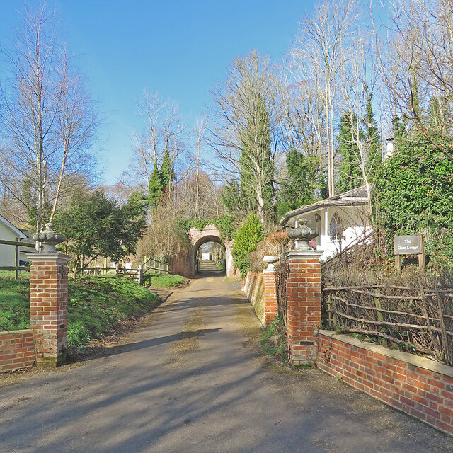
Boyton End is a small village located in the county of Suffolk, England. Situated approximately 6 miles northwest of the town of Ipswich, the village falls within the civil parish of Boyton. It is nestled amidst the picturesque Suffolk countryside, offering residents and visitors a tranquil and idyllic setting.
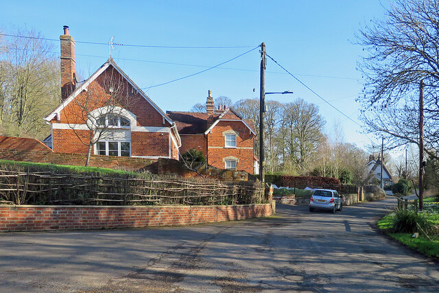
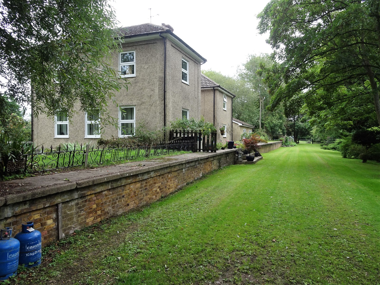
The village itself is home to a small but tight-knit community. The population of Boyton End is relatively low, with only a few hundred inhabitants. The village primarily consists of residential properties, with a mix of traditional cottages and more modern houses.
Although small, Boyton End offers a range of amenities for its residents. The village has a village hall, which serves as a hub for community activities and events. Additionally, there is a local pub that provides a gathering place for locals and visitors alike.
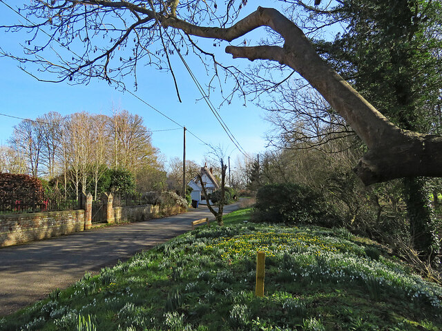
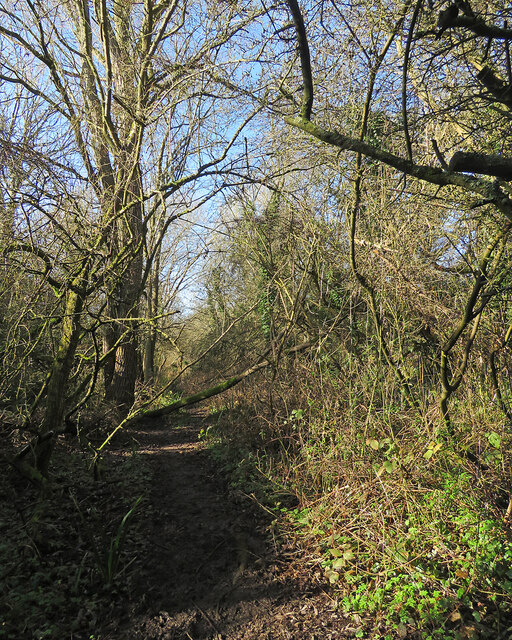
Surrounded by rolling fields and farmland, Boyton End offers ample opportunities for outdoor activities. The village is well-connected to a network of footpaths and bridleways, making it an ideal location for walkers, cyclists, and equestrians. The nearby countryside also boasts a variety of native wildlife, making it a haven for nature enthusiasts.
Despite its rural setting, Boyton End benefits from its proximity to Ipswich. The town offers a wider range of amenities, including shops, supermarkets, schools, and healthcare facilities. With good transport links, residents of Boyton End can easily access these amenities while enjoying the peacefulness of village life.
Overall, Boyton End is a charming village that offers a tranquil and close-knit community, surrounded by the natural beauty of the Suffolk countryside.
If you have any feedback on the listing, please let us know in the comments section below.
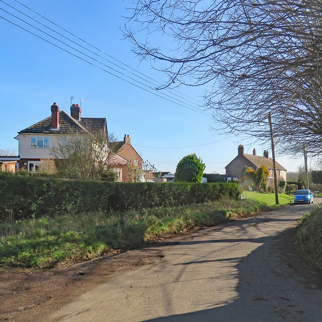
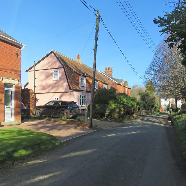
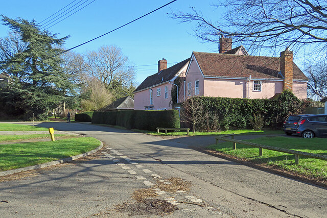
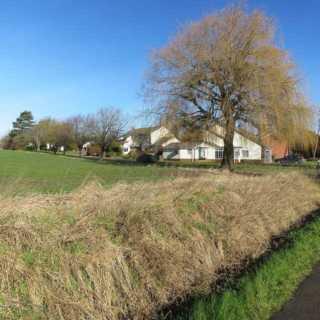
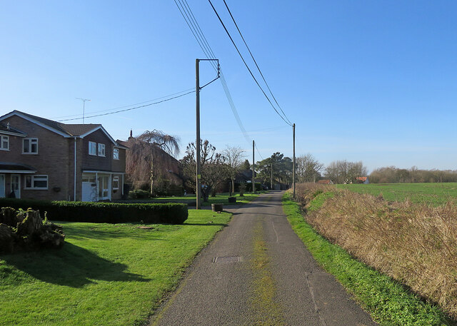
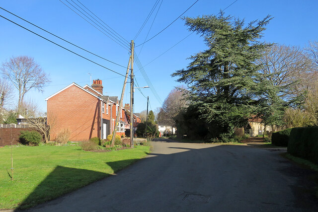
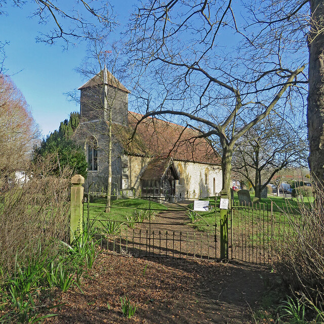
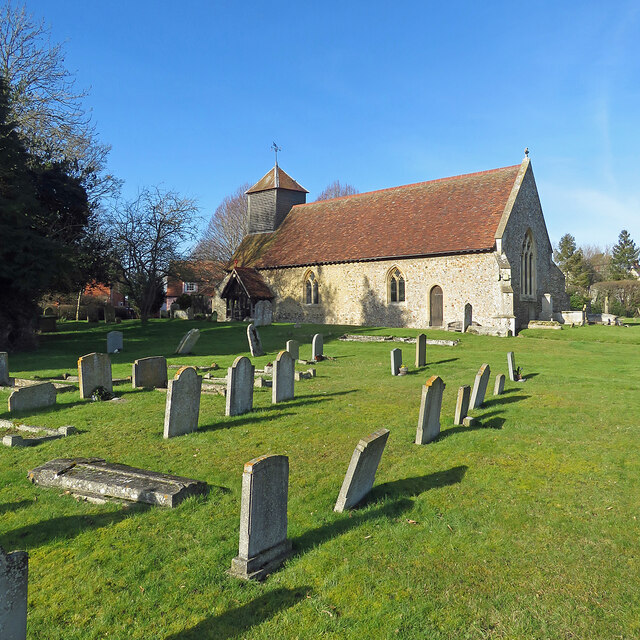
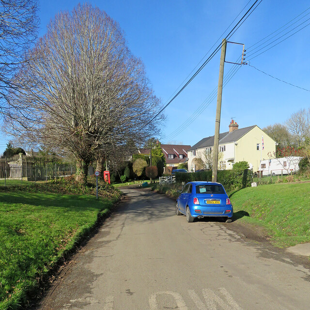
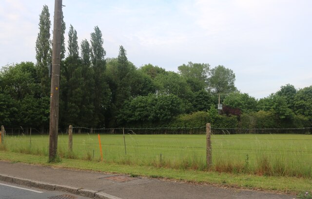
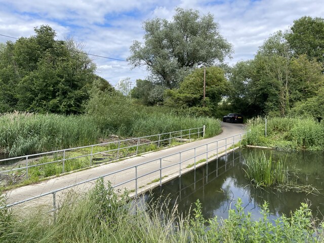
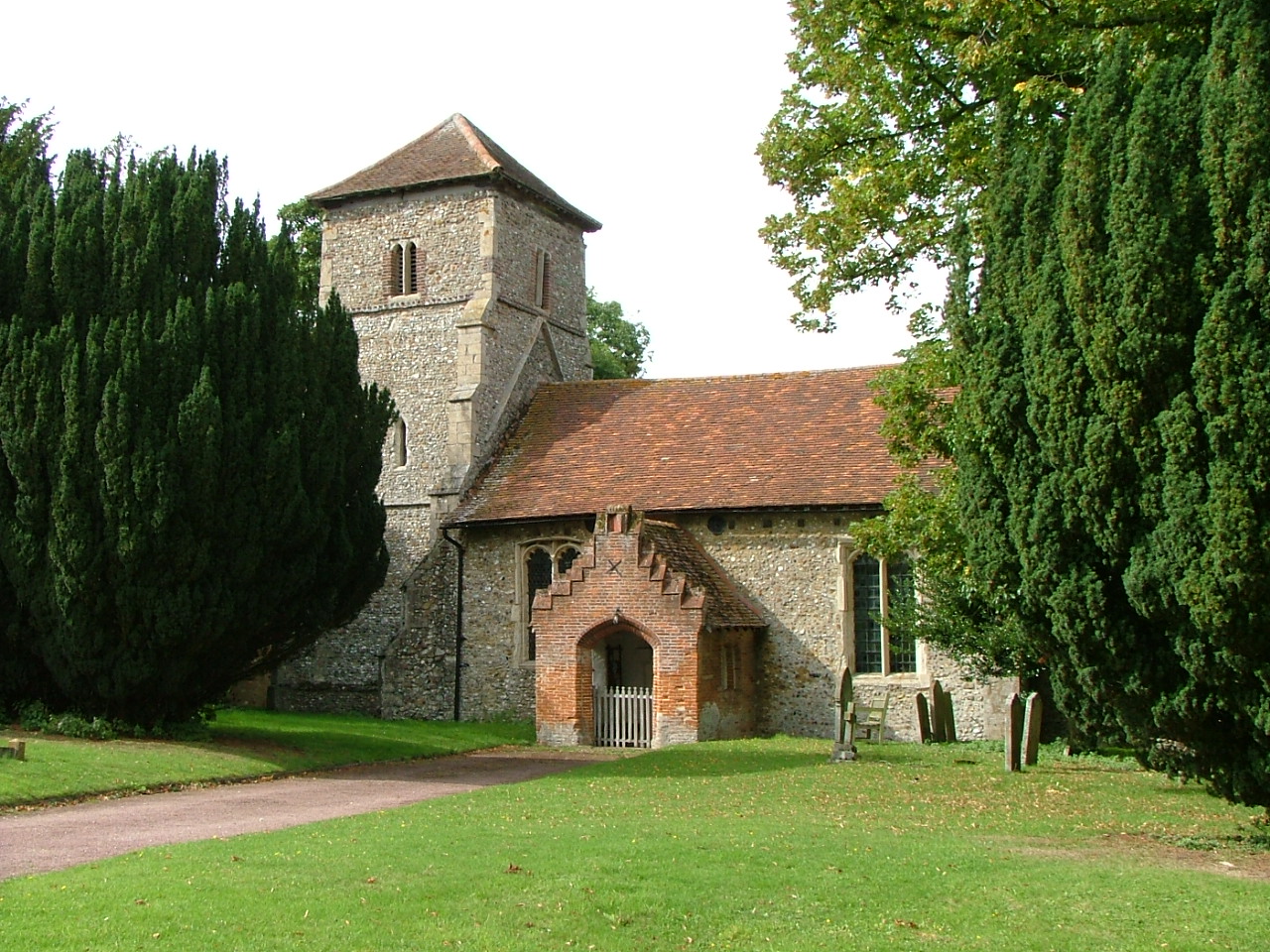
Boyton End Images
Images are sourced within 2km of 52.072686/0.50769177 or Grid Reference TL7144. Thanks to Geograph Open Source API. All images are credited.


Boyton End is located at Grid Ref: TL7144 (Lat: 52.072686, Lng: 0.50769177)
Administrative County: Suffolk
District: West Suffolk
Police Authority: Suffolk
What 3 Words
///trembles.dare.caller. Near Kedington, Suffolk
Nearby Locations
Related Wikis

Boyton End, Suffolk
Boyton End is a hamlet in Suffolk, England. Boyton was recorded in the Domesday Book as Alia Boituna. == References ==
Stour Brook
Stour Brook is a river that starts north west of the town of Haverhill, Suffolk just over the Cambridgeshire border in the parish of West Wickham. After...

Wixoe
Wixoe is a village and civil parish in the West Suffolk district of Suffolk in eastern England. Located on the northern bank of the River Stour, two miles...

Cotton Hall
Cotton Hall is a Grade II listed stately home in the village of Kedington, Suffolk, England. It is located on the banks of the River Stour and is one of...
Baythorne End
Baythorne End is a hamlet in the English county of Essex, England. It is located directly on the border with Suffolk. The hamlet is within the civil parish...
Sturmer, Essex
Sturmer is a village in the county of Essex, England, 2 miles (3 km) SE of Haverhill and close to the county border with Suffolk. Its name was originally...
Calford Green
Calford Green is a small hamlet situated 0.5 miles south of Kedington and two miles east of Haverhill in south-west Suffolk, United Kingdom. == External... ==
Sturmer railway station
Sturmer railway station was a station that served the village of Sturmer, Essex, England. It opened in 1865 on the Stour Valley Railway between Sudbury...
Nearby Amenities
Located within 500m of 52.072686,0.50769177Have you been to Boyton End?
Leave your review of Boyton End below (or comments, questions and feedback).