Walton St Mary
Settlement in Somerset
England
Walton St Mary
Walton St Mary is a picturesque village located in the county of Somerset, England. Situated on the southern side of the Mendip Hills, it enjoys a tranquil setting surrounded by rolling green fields and scenic countryside. The village is part of the larger parish of Clevedon and lies approximately 9 miles southwest of the town of Weston-super-Mare.
Walton St Mary is known for its charming and traditional English architecture, with many historic buildings dating back several centuries. The centerpiece of the village is the St Mary's Church, a Grade I listed building with origins dating back to the 12th century. Its impressive tower and beautiful stained glass windows are a testament to its historical significance.
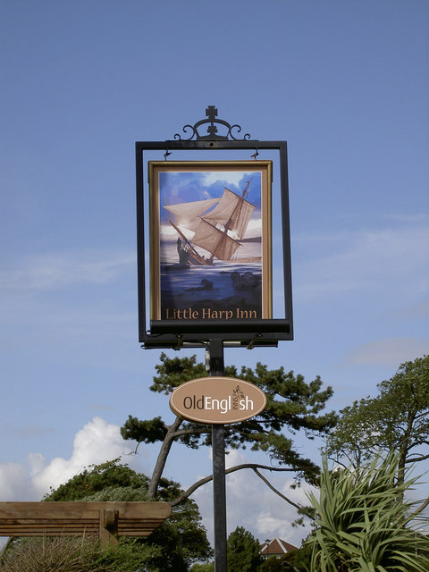
The village is home to a close-knit community and provides a range of amenities to cater to its residents' needs. These include a local pub, a village hall, and a primary school, offering a convenient and welcoming environment for families. The surrounding landscape also provides ample opportunities for outdoor activities, such as hiking, cycling, and horse riding, making it an attractive location for nature enthusiasts.
Despite its rural setting, Walton St Mary benefits from good transport links, with easy access to the nearby M5 motorway and regular bus services connecting it to surrounding towns and cities. This allows residents to enjoy the peace and tranquility of village life while still being within reach of larger urban centers.
Overall, Walton St Mary offers a blend of natural beauty, rich history, and community spirit, making it an idyllic place to live or visit in Somerset.
If you have any feedback on the listing, please let us know in the comments section below.
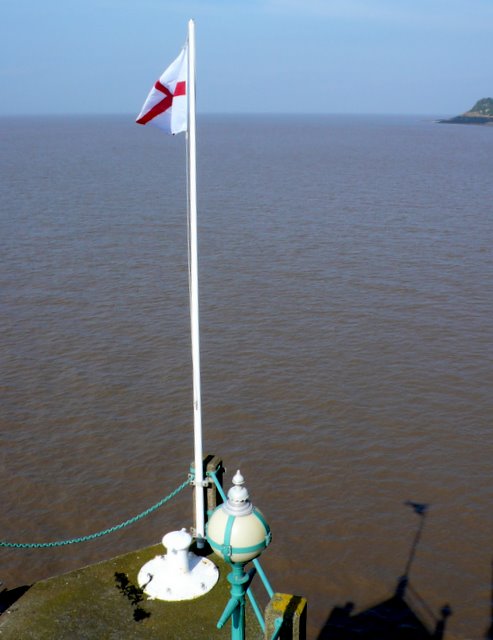
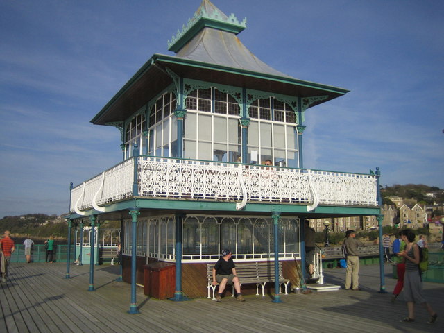
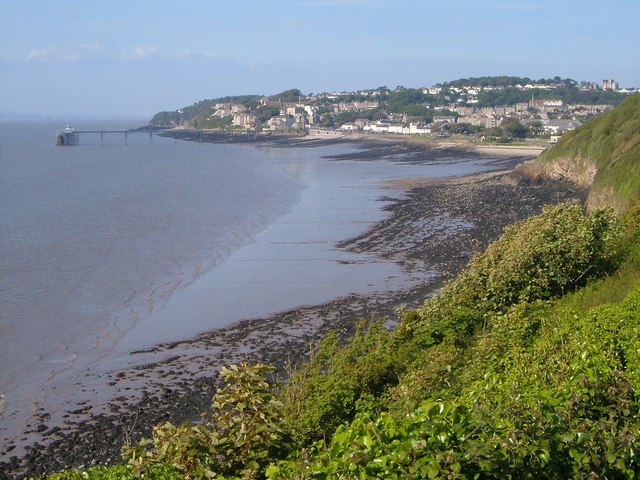
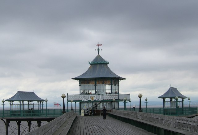
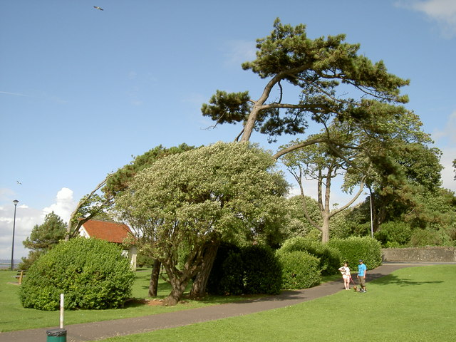
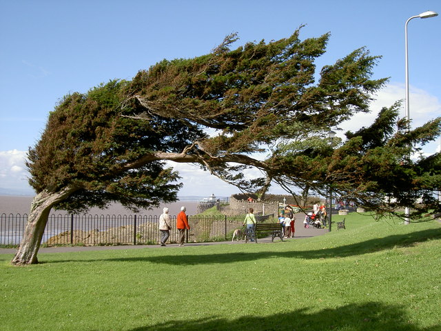
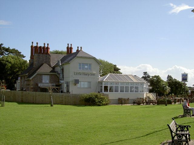
Walton St Mary Images
Images are sourced within 2km of 51.450337/-2.849632 or Grid Reference ST4172. Thanks to Geograph Open Source API. All images are credited.


Walton St Mary is located at Grid Ref: ST4172 (Lat: 51.450337, Lng: -2.849632)
Unitary Authority: North Somerset
Police Authority: Avon and Somerset
What 3 Words
///asks.wipe.motor. Near Clevedon, Somerset
Nearby Locations
Related Wikis
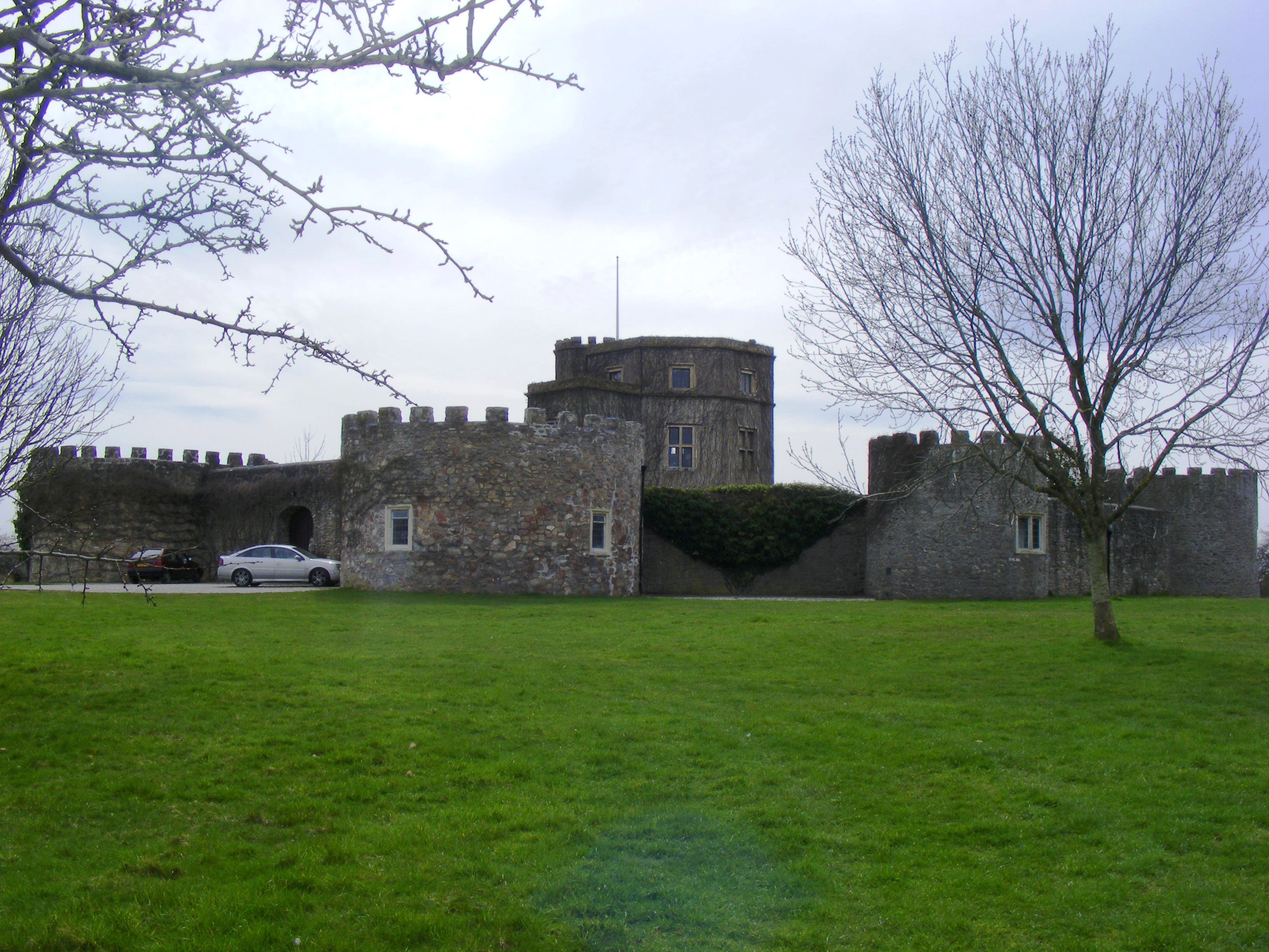
Walton Castle
Walton Castle is a 17th-century, Grade II listed mock castle set upon a hill in Clevedon, North Somerset, England, on the site of an earlier Iron Age hill...

Clevedon School
Clevedon School, formerly known as Clevedon Community School, is a coeducational secondary school located in Clevedon, North Somerset, England. It has...
Holly Lane SSSI
Holly Lane SSSI (grid reference ST419727) is a 0.5 hectare geological Site of Special Scientific Interest near the village of Walton St. Mary, North Somerset...
Walton Park railway station
Walton Park railway station served the village of Walton in Gordano, North Somerset, England from 1907 to 1940 on the Weston, Clevedon and Portishead Railway...
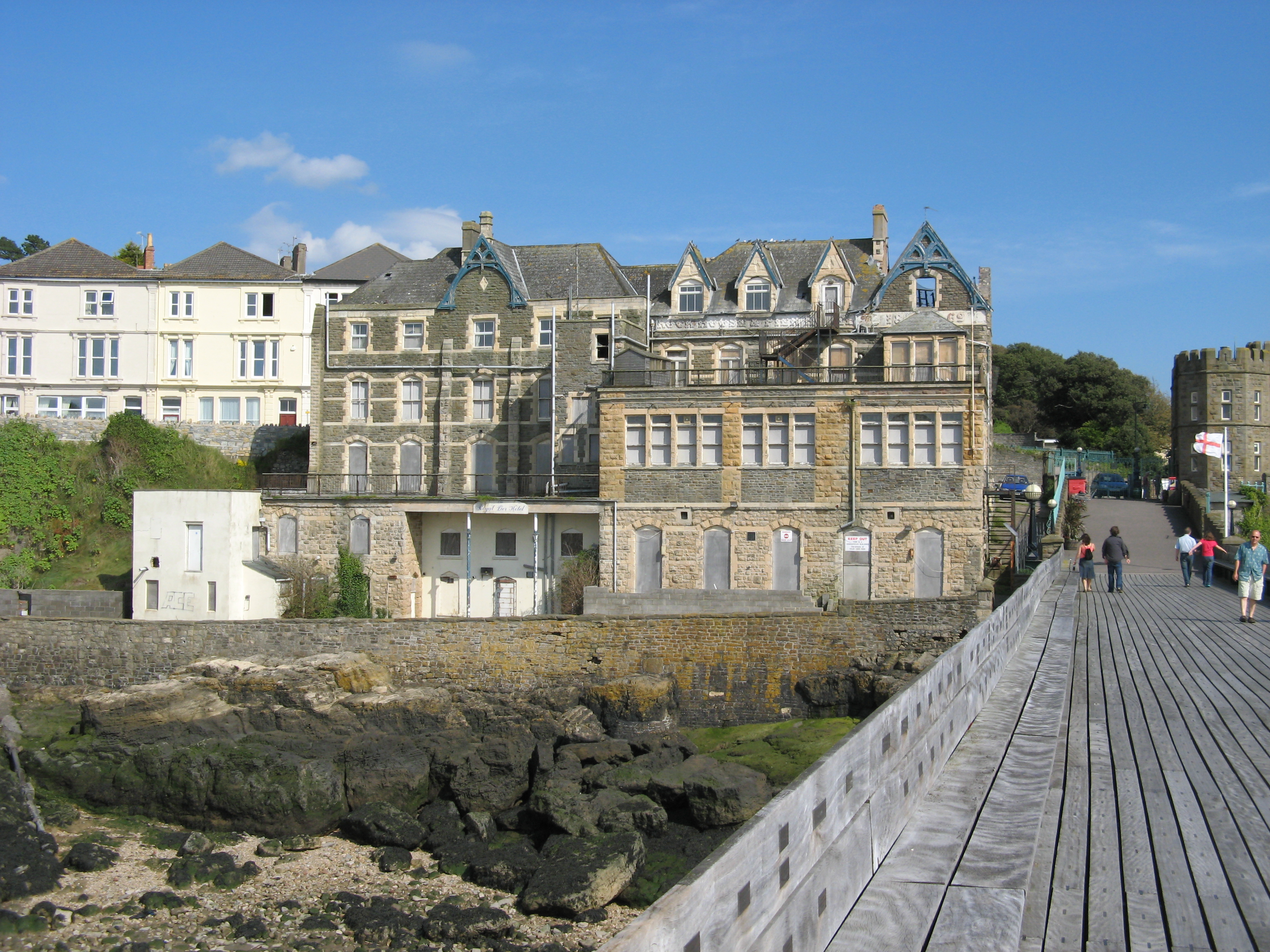
Royal Pier Hotel, Clevedon
The Royal Pier Hotel is a Grade II listed building in Clevedon, England. == History == The Royal Pier Hotel, originally known as the Rock House, was built...
All Saints railway station, Clevedon
All Saints railway station served the town of Clevedon, North Somerset, England, from 1917 to 1940 on the Weston, Clevedon and Portishead Railway. ��2...
Clevedon Shore
Clevedon Shore (grid reference ST402719) is a 0.38 hectare geological Site of Special Scientific Interest adjacent to the Severn Estuary at Clevedon, North...
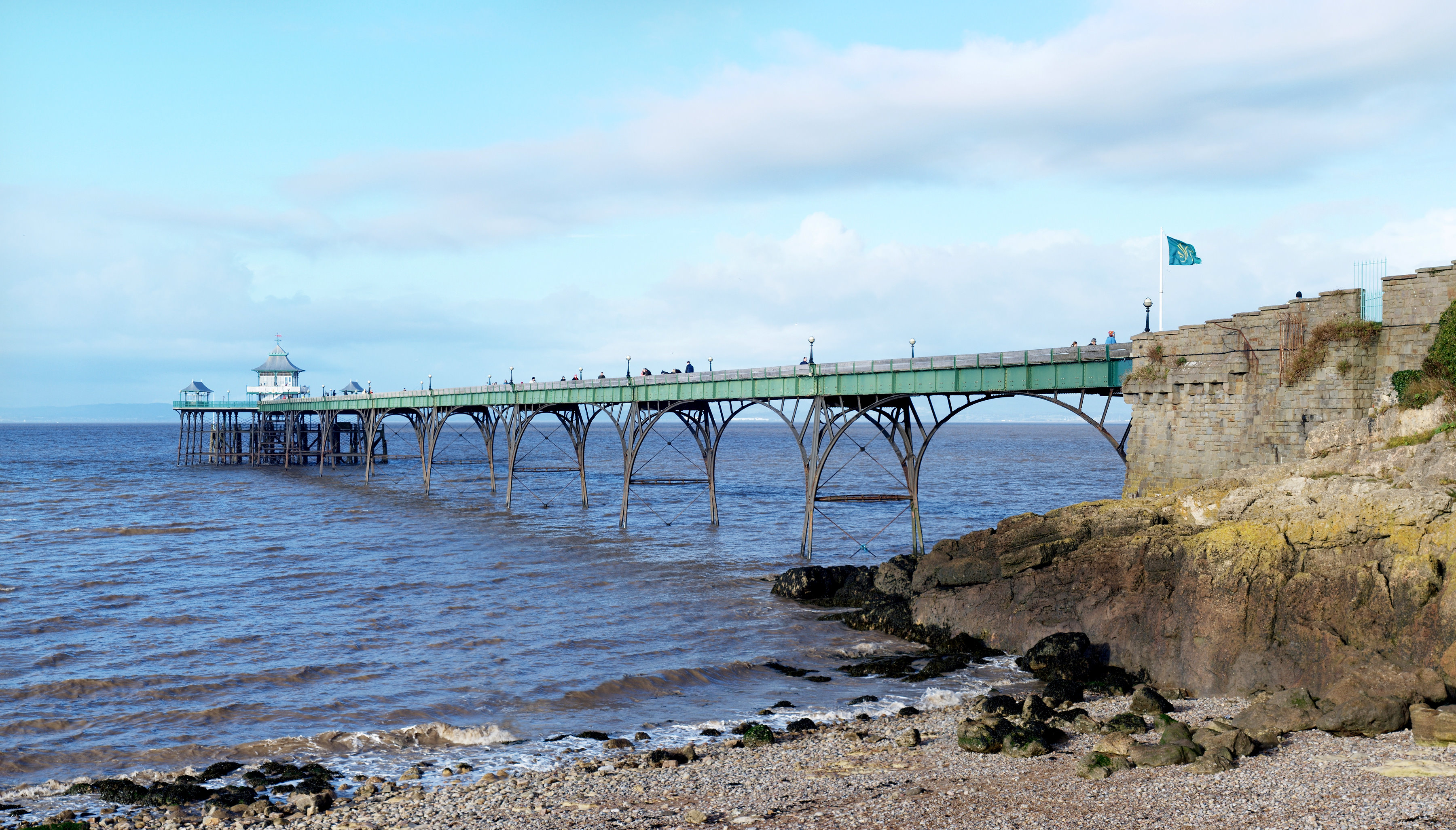
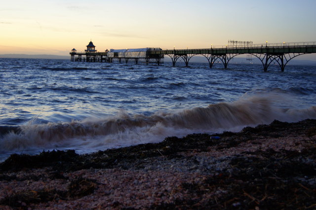
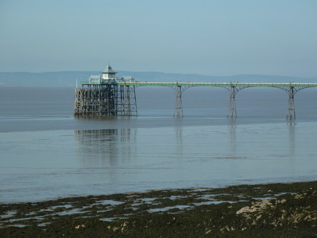
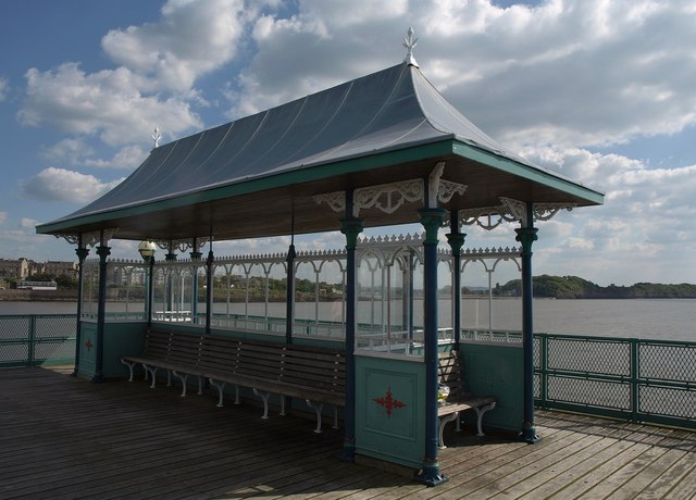
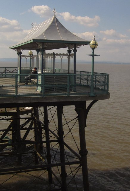
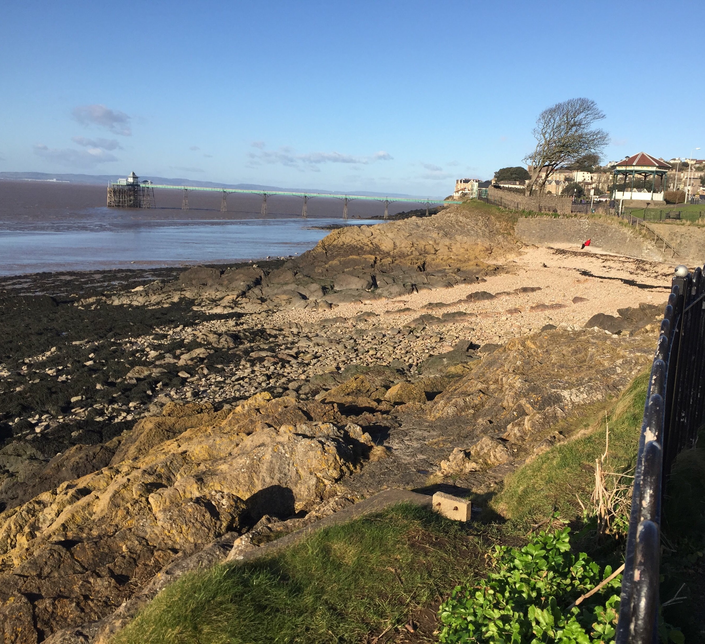
Clevedon Pier
Clevedon Pier is a seaside pier in the town of Clevedon, Somerset, England on the east shore of the Severn Estuary. It was described by Sir John Betjeman...
Nearby Amenities
Located within 500m of 51.450337,-2.849632Have you been to Walton St Mary?
Leave your review of Walton St Mary below (or comments, questions and feedback).