Walton

Settlement in Yorkshire

England

Walton

All Saints' Church, Thorp Arch The parish church of Thorp Arch.
All Saints' Church, Thorp Arch Credit: John Davidson

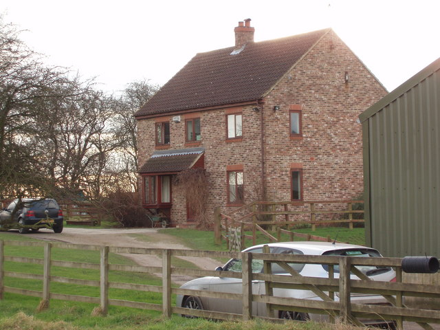
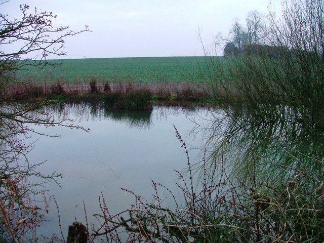
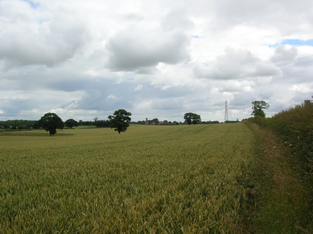
Walton is a small village located in the City of Wakefield district in West Yorkshire, England. It is situated approximately 4 miles southeast of Wakefield city center and has a population of around 2,000 residents. The village is known for its picturesque surroundings, with rolling green hills and scenic countryside.

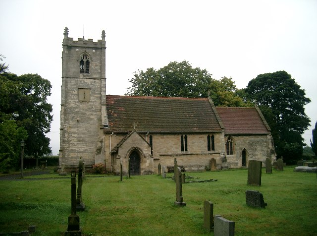
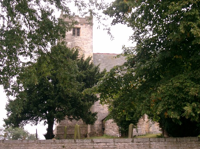
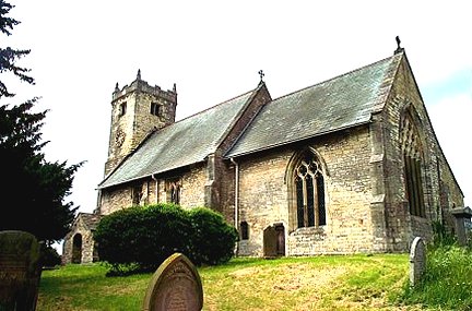
Walton has a rich history, with evidence of human settlement dating back to the Bronze Age. The village features a number of historic buildings, including the Grade II listed St. Paul's Church, which dates back to the 19th century. There are also several traditional stone cottages and farmhouses scattered throughout the village.

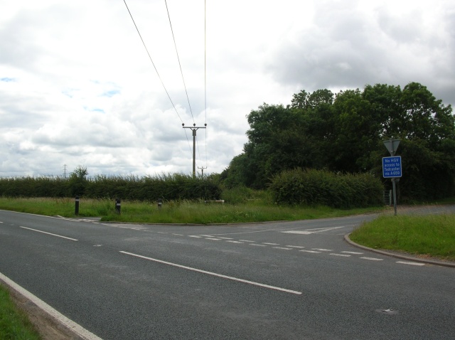
In terms of amenities, Walton has a primary school, a village hall, a pub, and a small number of shops and businesses. The village is well-connected by road, with easy access to the nearby cities of Wakefield and Leeds. There are also regular bus services that connect Walton to surrounding towns and villages.

Overall, Walton offers a peaceful and idyllic setting for residents, with a strong sense of community and a close-knit village atmosphere.

If you have any feedback on the listing, please let us know in the comments section below.
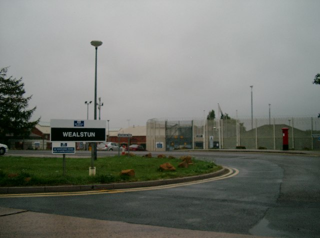
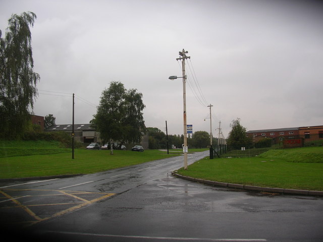
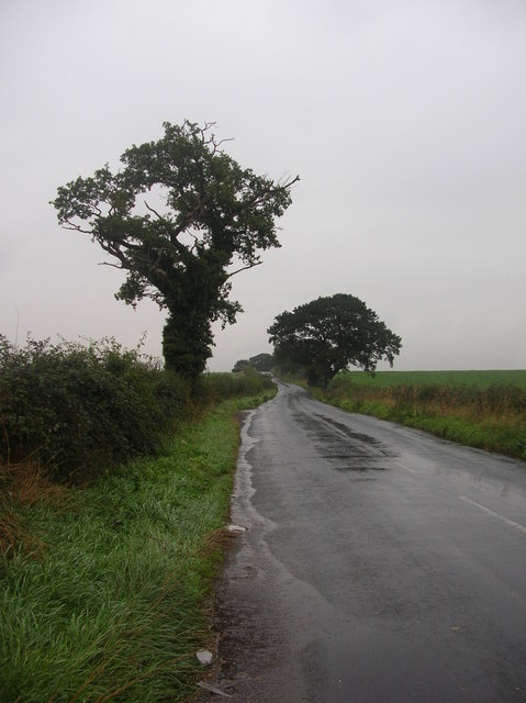
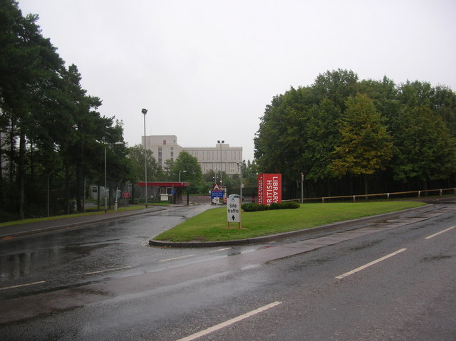
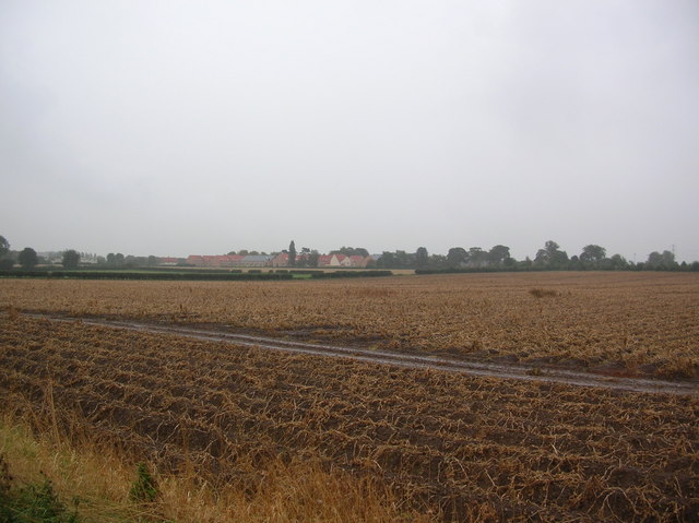
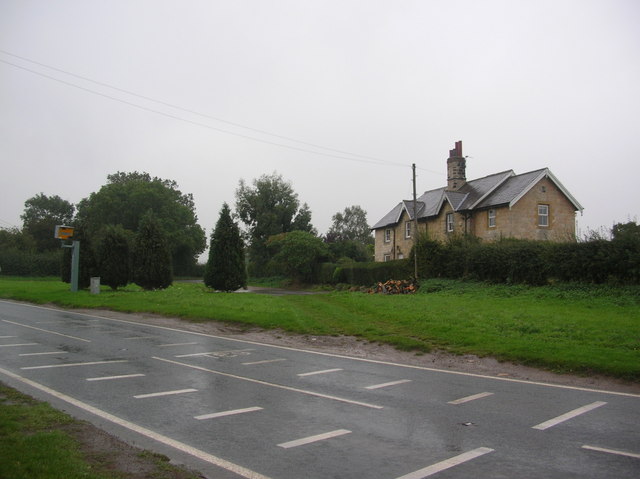
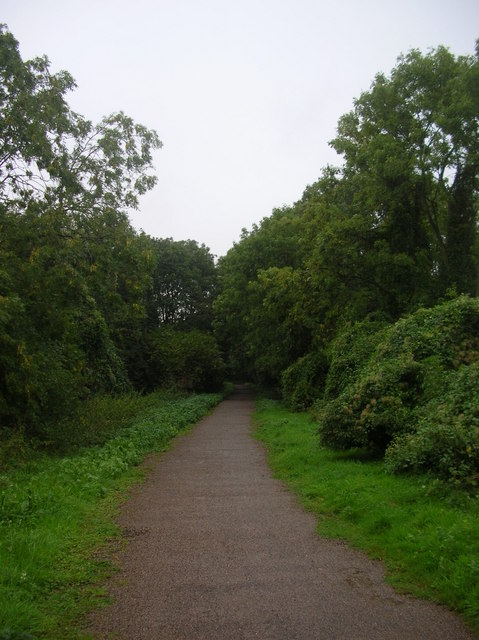
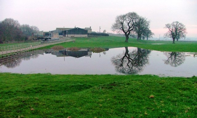
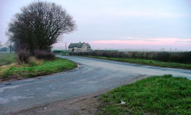
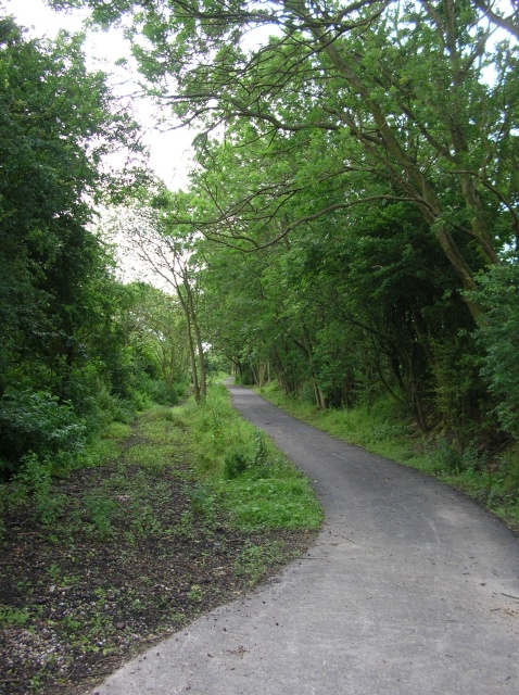
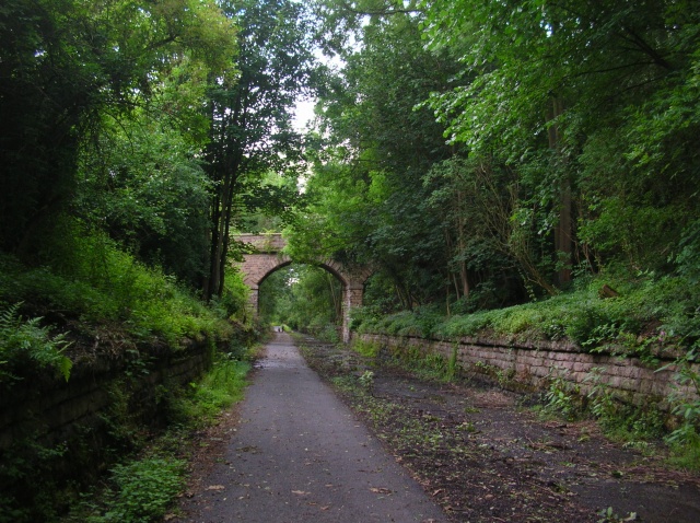
Walton Images

Images are sourced within 2km of 53.92389/-1.3268156 or Grid Reference SE4447. Thanks to Geograph Open Source API. All images are credited.

All Saints' Church, Thorp Arch The parish church of Thorp Arch.
All Saints' Church, Thorp Arch
The parish church of Thorp Arch.
HM Prison Wealstun On 1 April 1995, HM Prisons Thorp Arch and Rudgate amalgamated to form HMP Wealstun.
HM Prison Wealstun
On 1 April 1995, HM Prisons Thorp Arch and Rudgate amalgamated to form HMP Wealstun.
St. Peter's Church, Walton The parish church of Walton.
St. Peter's Church, Walton
The parish church of Walton.
Walton, Nr Thorpe Arch, St Peter's Church
Thorp Arch industrial estate Situated between Thorp Arch and Walton, this former Royal Ordnance site is now a trading estate. Taken from a bicycle on a very wet afternoon.
Thorp Arch industrial estate
Situated between Thorp Arch and Walton, this former Royal Ordnance site is now a trading estate. Taken from a bicycle on a very wet afternoon.
Rudgate The end of the Roman Road as it joins Thorp Arch industrial estate.
Rudgate
The end of the Roman Road as it joins Thorp Arch industrial estate.
British Library - Thorp Arch One of the British Libraries. This one is situated on an industrial estate between Wetherby & Tadcaster.
British Library - Thorp Arch
One of the British Libraries. This one is situated on an industrial estate between Wetherby & Tadcaster.
View towards HM Prison Looking across farmland from underneath overhead electric wires on the Walton to Wetherby road.
View towards HM Prison
Looking across farmland from underneath overhead electric wires on the Walton to Wetherby road.
Course of disused railway - Wetherby Between Thorp Arch and Wetherby stations, the railway used to cross the road at this point. A cycle route into Wetherby now starts here.
Course of disused railway - Wetherby
Between Thorp Arch and Wetherby stations, the railway used to cross the road at this point. A cycle route into Wetherby now starts here.
Route 66 - Walton Gates Part of the disused Harrogate to Tadcaster railway line. This is a section between Wetherby and Thorp Arch.
Route 66 - Walton Gates
Part of the disused Harrogate to Tadcaster railway line. This is a section between Wetherby and Thorp Arch.
Hall Parks Farm From Hall Park Road.
Hall Parks Farm
From Hall Park Road.
Junction of Hall Park Road with Rudgate Rudgate lies on the course of a Roman Road.
Junction of Hall Park Road with Rudgate
Rudgate lies on the course of a Roman Road.
Farmhouse on Springs Lane,  Walton A modern farmhouse next to a collection of farm buildings, one of which is visible on the right.
Farmhouse on Springs Lane, Walton
A modern farmhouse next to a collection of farm buildings, one of which is visible on the right.
Pond Off Hall Park Road
Walton Gates Taken as the Harland way crosses over the road. The main road runs between Thorp Arch trading estate and Wetherby, with the side road here leading to Thorp Arch village. The Harland way, a cycle route built by Sustrans on the former Harrogate to Tadcaster railway, has recently been extended from here to Thorp Arch industrial estate.
Walton Gates
Taken as the Harland way crosses over the road. The main road runs between Thorp Arch trading estate and Wetherby, with the side road here leading to Thorp Arch village. The Harland way, a cycle route built by Sustrans on the former Harrogate to Tadcaster railway, has recently been extended from here to Thorp Arch industrial estate.
Cornfield at Walton Gates Taken from the Harland way, a cycle route built by Sustrans on the former Harrogate to Tadcaster railway.
Cornfield at Walton Gates
Taken from the Harland way, a cycle route built by Sustrans on the former Harrogate to Tadcaster railway.
Harland Way extension The Harland way is a cycle route built by Sustrans on the former Harrogate to Tadcaster railway. This is a newly opened section from Walton Gates to Thorp Arch trading estate. Ahead the line passes through the former station at Thorp Arch.
Harland Way extension
The Harland way is a cycle route built by Sustrans on the former Harrogate to Tadcaster railway. This is a newly opened section from Walton Gates to Thorp Arch trading estate. Ahead the line passes through the former station at Thorp Arch.
Thorp Arch station The Harland way is a cycle route built by Sustrans on the former Harrogate to Tadcaster railway. Here it passes through the former station at Thorp Arch. This section has only recently been opened following an extension being built from Walton Gates to Thorp Arch.
Thorp Arch station
The Harland way is a cycle route built by Sustrans on the former Harrogate to Tadcaster railway. Here it passes through the former station at Thorp Arch. This section has only recently been opened following an extension being built from Walton Gates to Thorp Arch.
Show me another place!

Walton is located at Grid Ref: SE4447 (Lat: 53.92389, Lng: -1.3268156)

Division: West Riding

Unitary Authority: Wakefield

Police Authority: West Yorkshire

What 3 Words

///downcast.browser.unscrew. Near Walton, West Yorkshire

Nearby Locations

Walton Walton

Related Wikis

Walton, Leeds

Walton is a village and civil parish 2 miles (3 km) east of Wetherby, West Yorkshire, England. It is adjacent to Thorp Arch village and Thorp Arch Trading...

St Peter's Church, Walton, Leeds

The Church of St. Peter in Walton, near Wetherby in West Yorkshire, England, is an active Anglican parish church in the archdeaconry of York and the Diocese...

Thorp Arch (training ground)

Thorp Arch is the training ground of Leeds United. Located in the village of Thorp Arch, near the town of Wetherby, the site covers 12.1 hectares. The...

ROF Thorp Arch

ROF Thorp Arch was one of sixteen Second World War, UK government-owned Royal Ordnance Factory, which produced munitions by "filling" them. It was a medium...

Nearby Amenities

Located within 500m of 53.92389,-1.3268156
Walton
Created By: Potlatch 0.4b
Is In: UK,Yorkshire,West Yorkshire,Wharfedale
Place: hamlet
Lat/Long: 53.9231466/-1.3289133
Bus Stop
Walton Corner Walton
Bus: yes
Local Ref: 45010224
Naptan AtcoCode: 450010224
Naptan Bearing: W
Naptan CommonName: Walton Corner Walton
Naptan Crossing: Church Causeway
Naptan Indicator: Stop 45010224
Naptan PlusbusZoneRef: LEEDS
Naptan ShortCommonName: Walton Corner
Naptan Street: Wetherby Road
Naptan Verified: no
Public Transport: platform
Ref: 45010224
Source: naptan_import
Lat/Long: 53.9223075/-1.330589
Bus Stop
Walton Corner Walton
Bus: yes
Local Ref: 45014495
Naptan AtcoCode: 450014495
Naptan Bearing: E
Naptan CommonName: Walton Corner Walton
Naptan Indicator: Stop 45014495
Naptan PlusbusZoneRef: LEEDS
Naptan ShortCommonName: Walton Corner
Naptan Street: Wetherby Road
Naptan Verified: no
Public Transport: platform
Source: naptan_import
Lat/Long: 53.922407/-1.330694
Bus Stop
Street 5 Thorp Arch
Bus: yes
Local Ref: 45014496
Naptan AtcoCode: 450014496
Naptan Bearing: N
Naptan CommonName: Street 5 Thorp Arch
Naptan Indicator: Stop 45014496
Naptan Landmark: British Library
Naptan ShortCommonName: Wighill Lane
Naptan Street: Street 5
Naptan Verified: no
Public Transport: platform
Ref: 45014496
Shelter: yes
Source: naptan_import
Lat/Long: 53.920285/-1.3257335
Bus Stop
Street 5 Thorp Arch
Bus: yes
Local Ref: 45050197
Naptan AtcoCode: 450050197
Naptan Bearing: S
Naptan BusStopType: CUS
Naptan CommonName: Street 5 Thorp Arch
Naptan Indicator: Stop 45050197
Naptan ShortCommonName: Wighill Lane
Naptan Street: Street 5
Naptan Verified: no
Platforms: 0
Public Transport: platform
Ref: 45050197
Shelter: no
Source: naptan_import
Lat/Long: 53.9202749/-1.3255357
Noexit: yes
Lat/Long: 53.9215849/-1.3272315
Recycling
Recycling Glass Bottles: yes
Recycling Paper: yes
Recycling Type: container
Lat/Long: 53.9204322/-1.3255182
Crossing
Crossing: marked
Lat/Long: 53.9207079/-1.3238864
Post Box
Operator: Royal Mail
Post Box Type: lamp
Ref: LS23 239
Lat/Long: 53.9239782/-1.3269322
Post Box
Brand: Royal Mail
Brand Wikidata: Q638098
Operator: Royal Mail
Operator Wikidata: Q638098
Post Box Type: meter
Ref: LS23 4
Lat/Long: 53.9203123/-1.3255182
Post Box
Brand: Royal Mail
Brand Wikidata: Q638098
Operator: Royal Mail
Operator Wikidata: Q638098
Post Box Type: pillar
Ref: LS23 268
Royal Cypher: EIIR
Royal Cypher Wikidata: Q33102113
Lat/Long: 53.9203439/-1.3255182
Turning Loop
Lat/Long: 53.9233838/-1.3277376
Waste Basket
Ref UK Leedscc Bin: 2909
Lat/Long: 53.923028/-1.326933
Barrier: lift_gate
Lat/Long: 53.9205905/-1.3248906
Country: GB
Flag Name: Union Jack
Flag Type: national
Flag Wikidata: Q83278
Man Made: flagpole
Operator: British Library
Subject: United Kingdom
Subject Wikidata: Q145
Lat/Long: 53.920867/-1.325376
Shelter
Shelter Type: public_transport
Lat/Long: 53.9202584/-1.325766
Give Way
Direction: forward
Lat/Long: 53.9204585/-1.3247226
Barrier: lift_gate
Lat/Long: 53.9205603/-1.3249747
Give Way
Direction: forward
Lat/Long: 53.9207732/-1.3252876
Give Way
Direction: backward
Lat/Long: 53.9207785/-1.3255073
Stop
Direction: forward
Lat/Long: 53.9200537/-1.3231324
Stop
Direction: backward
Lat/Long: 53.9202304/-1.3249265
Crossing
Crossing: marked
Lat/Long: 53.9199599/-1.3232431
Crossing
Crossing: marked
Lat/Long: 53.920237/-1.3225766
Crossing
Crossing: marked
Lat/Long: 53.919985/-1.3230516
Crossing
Crossing: marked
Lat/Long: 53.9200241/-1.3229603
Crossing
Crossing: marked
Lat/Long: 53.9202168/-1.3248371
Give Way
Direction: backward
Lat/Long: 53.9206691/-1.3238913
Street 5 Thorp Arch
Bus: yes
Public Transport: stop_position
Ref: 45050197
Lat/Long: 53.9202572/-1.325619
Street 5 Thorp Arch
Bus: yes
Public Transport: stop_position
Ref: 45014496
Lat/Long: 53.9203026/-1.3256082
Turning Circle
Lat/Long: 53.9211308/-1.3267759
Walton Corner Walton
Bus: yes
Public Transport: stop_position
Ref: 45010224
Lat/Long: 53.922352/-1.3305662
Give Way
Direction: forward
Lat/Long: 53.9239179/-1.3267822
The data included in this document is from www.openstreetmap.org. The data is made available under ODbL.

Have you been to Walton?

Leave your review of Walton below (or comments, questions and feedback).