Walthamstow
Settlement in Essex
England
Walthamstow
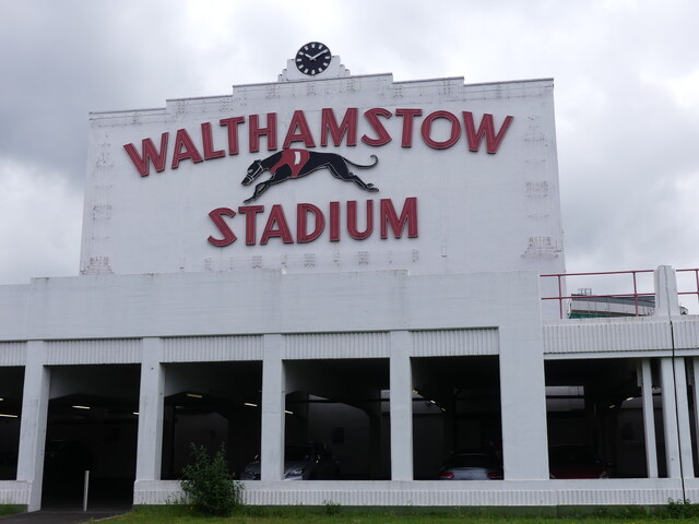
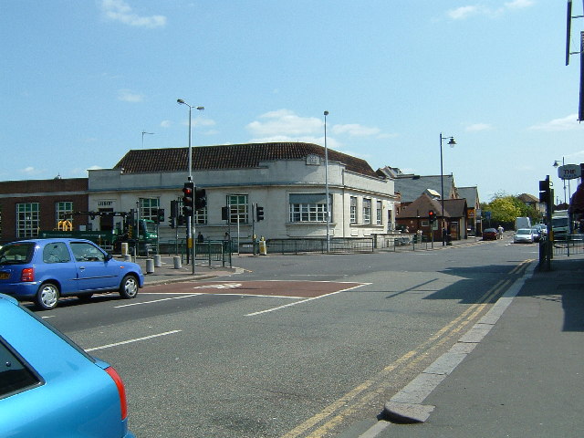
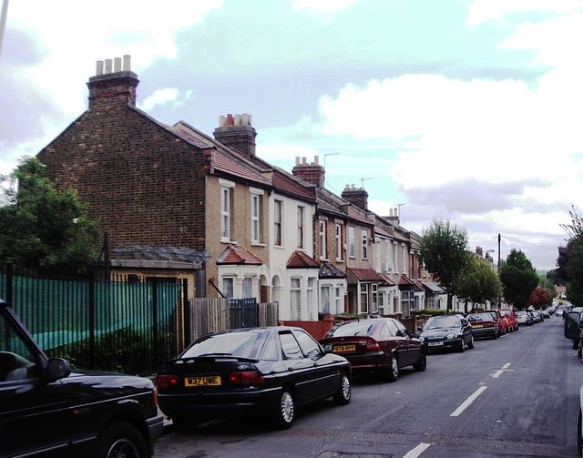
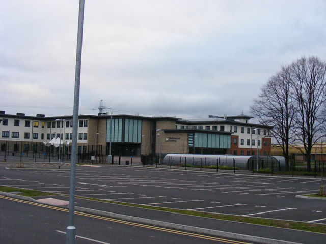
Walthamstow is a vibrant town located in the London Borough of Waltham Forest in Essex, England. It is situated in the northeast part of London and is known for its diverse community and bustling atmosphere. Walthamstow is a popular residential area with a mix of Victorian terraced houses, modern apartment buildings, and green spaces.
The town is well-connected to central London via the Victoria line on the London Underground and several bus routes, making it a convenient location for commuters. Walthamstow Central station is a major transportation hub in the area, providing easy access to other parts of London.
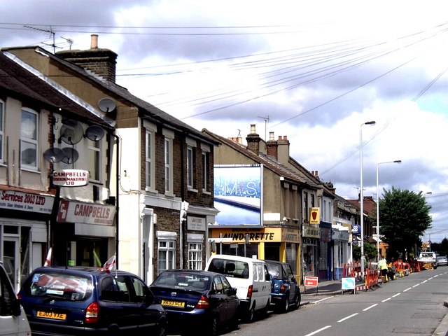
Walthamstow is also home to a variety of amenities, including shopping centers, markets, restaurants, and cafes. The area is known for its vibrant street art scene, with numerous murals and graffiti art adorning the walls of buildings throughout the town.
Overall, Walthamstow offers a lively and diverse community, with plenty of amenities and convenient transportation links, making it a popular place to live and visit in Essex.
If you have any feedback on the listing, please let us know in the comments section below.
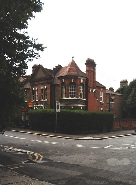
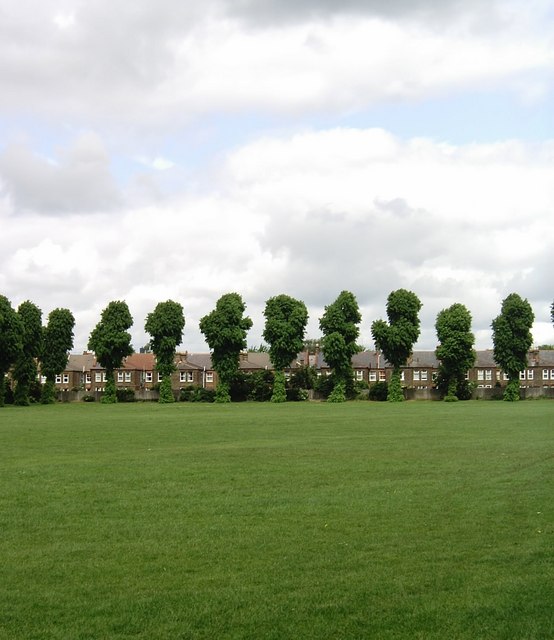
Walthamstow Images
Images are sourced within 2km of 51.588358/-0.012264 or Grid Reference TQ3789. Thanks to Geograph Open Source API. All images are credited.

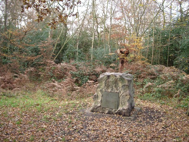
![Looking down the North Circular from overpass at Epping Forest Epping Forest (formerly known as Waltham Forest) is an ancient woodland north-east of London. As a former royal forest dating from the 12th century, it is managed by the City of London Corporation.
The forest is 2,476 hectares in area, comprising woodland, grassland and open heath, forming a 19km long green corridor.
[abstract from Wikipedia article: <span class="nowrap"><a title="http://en.wikipedia.org/wiki/Epping_Forest" rel="nofollow ugc noopener" href="http://en.wikipedia.org/wiki/Epping_Forest">Link</a><img style="margin-left:2px;" alt="External link" title="External link - shift click to open in new window" src="https://s1.geograph.org.uk/img/external.png" width="10" height="10"/></span> ]](https://s1.geograph.org.uk/geophotos/07/20/26/7202621_00d6d2b0.jpg)


Walthamstow is located at Grid Ref: TQ3789 (Lat: 51.588358, Lng: -0.012264)
Unitary Authority: Waltham Forest
Police Authority: Metropolitan
What 3 Words
///skins.drama.eating. Near Walthamstow, London
Nearby Locations
Related Wikis
Municipal Borough of Walthamstow
Walthamstow was a local government district in southwest Essex, England from 1873 to 1965, around the town of Walthamstow. It was within the London suburbs...
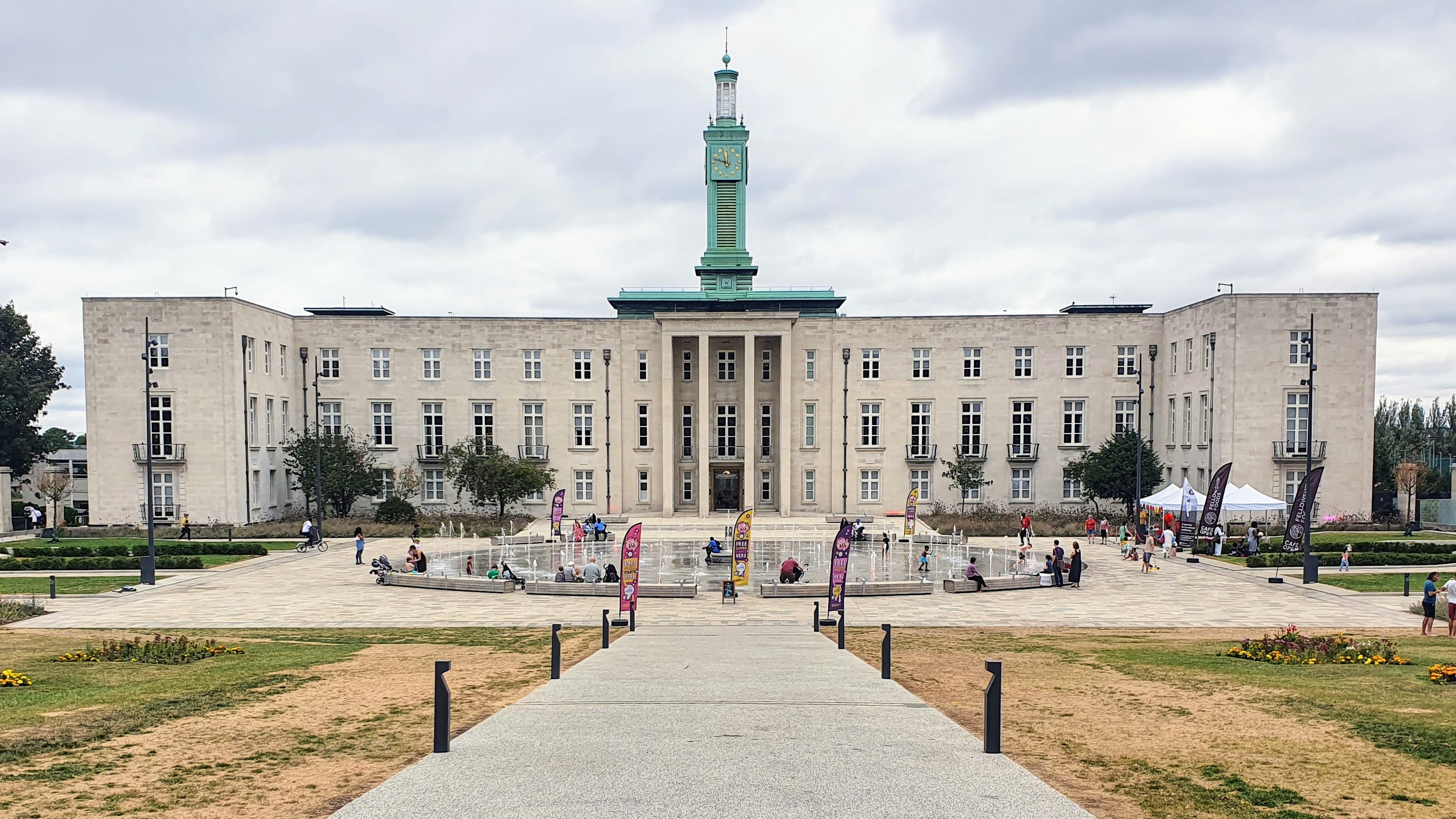
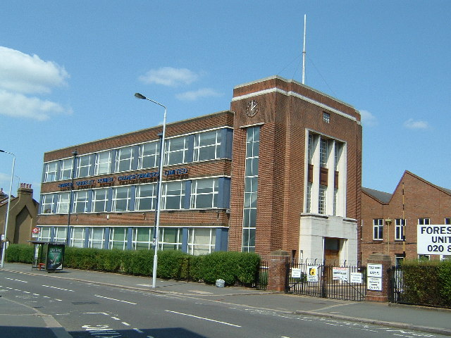
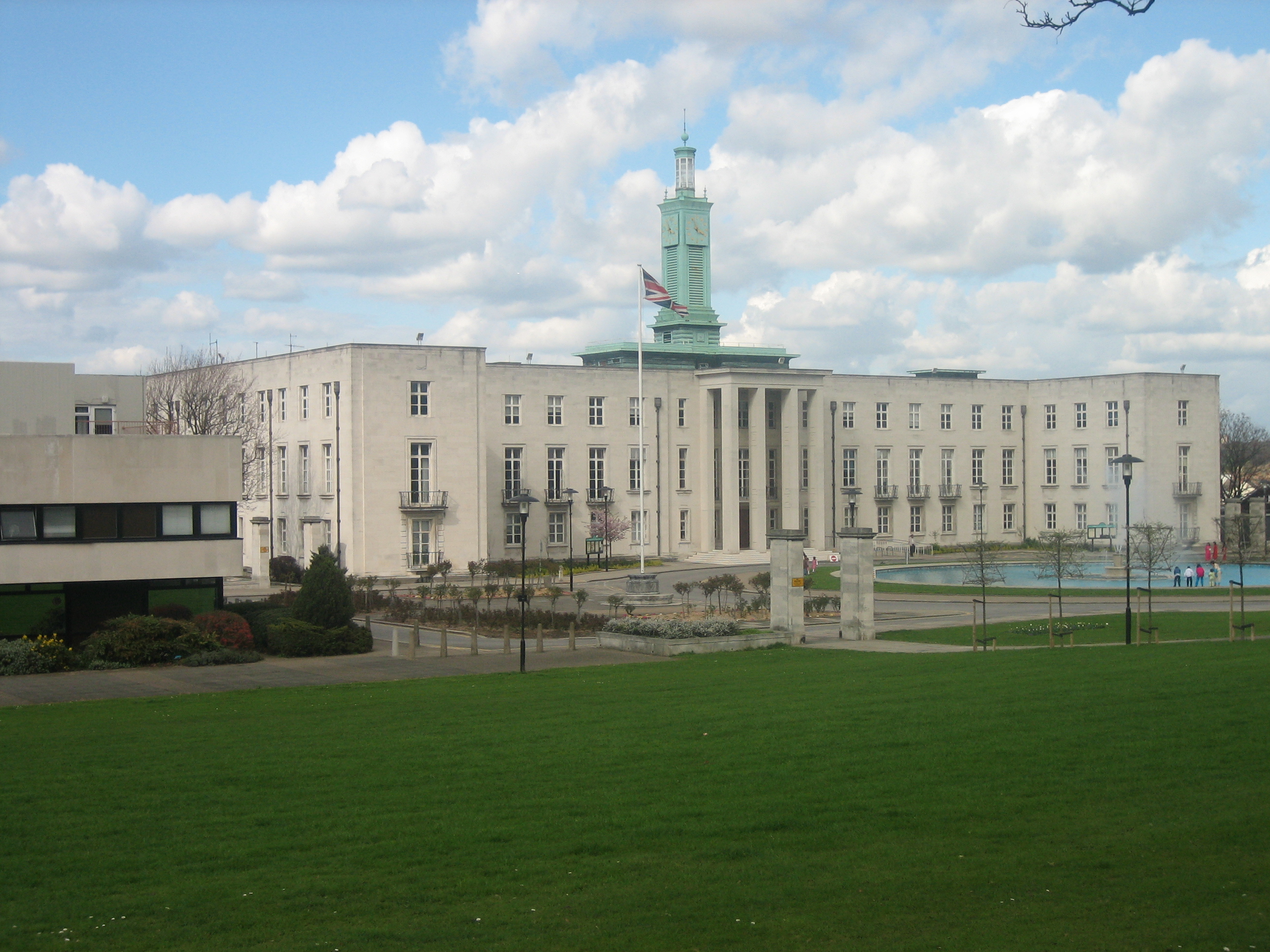
Waltham Forest Town Hall
Waltham Forest Town Hall (formerly Walthamstow Town Hall) is a municipal building located in Walthamstow, East London. The town hall, which is the headquarters...

Walthamstow College of Art
Walthamstow College of Art was an art school based in Walthamstow, north-east London. In the 1970s, it was merged into North East London Polytechnic and...
Waltham Forest College
Waltham Forest College Waltham Forest College is a stand-alone Further Education College in North East London with circa 2000, 16-19 year old students...
Nearby Amenities
Located within 500m of 51.588358,-0.012264Have you been to Walthamstow?
Leave your review of Walthamstow below (or comments, questions and feedback).