Boxted Cross

Settlement in Essex Colchester

England

Boxted Cross

The Essex Way at Boxted Hall This is Boxted Footpath #1;  it comes out in Church Street.
The Essex Way at Boxted Hall Credit: Glyn Baker

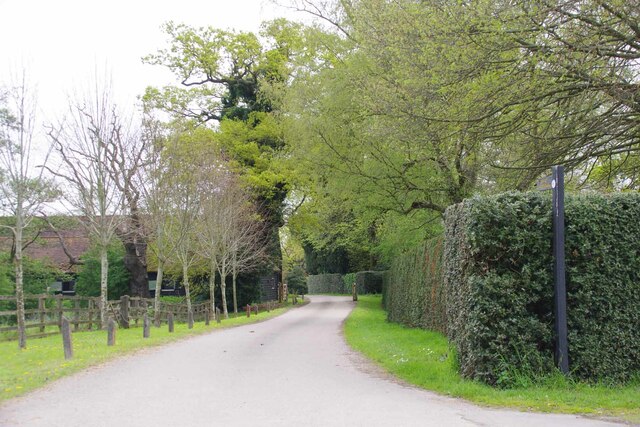
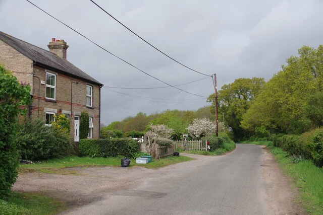
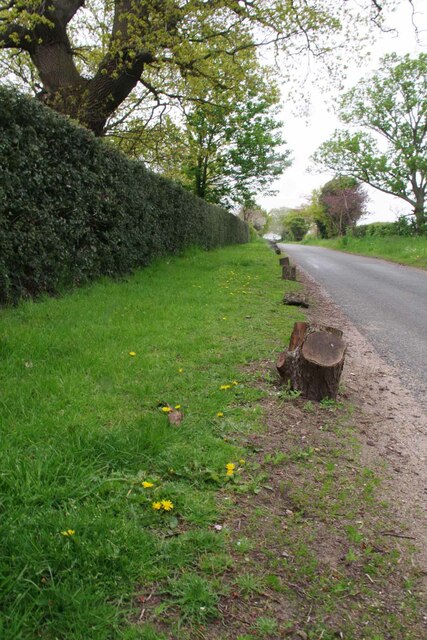
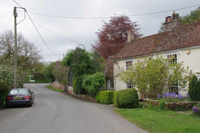
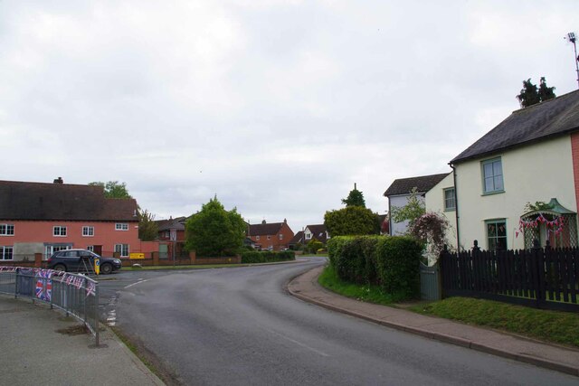
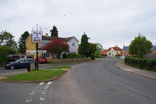
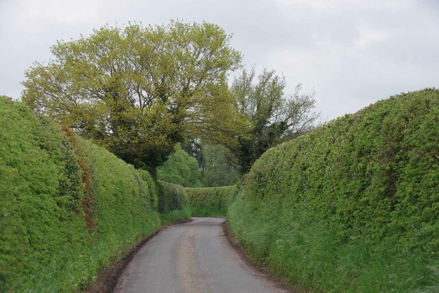
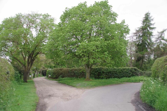
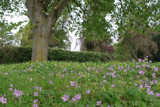
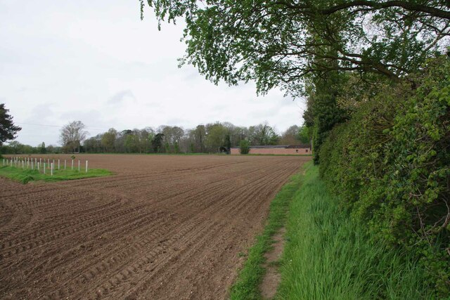
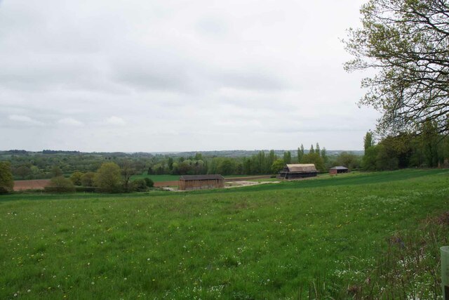
Boxted Cross is a small village located in the county of Essex, England. Situated approximately 7 miles northeast of Colchester, it is part of the Colchester borough. The village is surrounded by picturesque countryside, offering a tranquil and scenic environment for its residents.

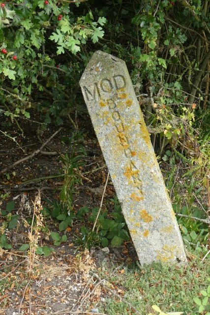
The history of Boxted Cross can be traced back to the Roman era, with evidence of Roman roads passing through the area. The village gained its name from the ancient stone cross that once stood at the junction of two important roads, linking Colchester to Ipswich and Sudbury. Although the original cross is no longer present, the village retains its name as a reminder of its historical significance.

Today, Boxted Cross is a thriving community with a population of around 600 residents. The village is primarily residential, with a mix of traditional and modern houses. It boasts a close-knit community spirit, and residents can enjoy a range of amenities, including a village hall, a local pub, and a church.

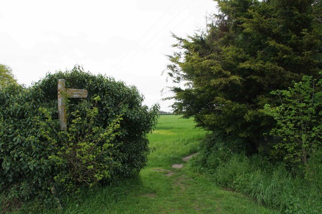
The surrounding countryside offers ample opportunities for outdoor activities, such as walking, cycling, and horse riding. Boxted Cross is also well-connected, with good transport links to nearby towns and cities. The village benefits from its proximity to Colchester, which provides a wider range of amenities, including shops, restaurants, and leisure facilities.

Overall, Boxted Cross is a charming village in Essex, offering a peaceful and idyllic setting for its residents, while still providing easy access to nearby urban centers.

If you have any feedback on the listing, please let us know in the comments section below.
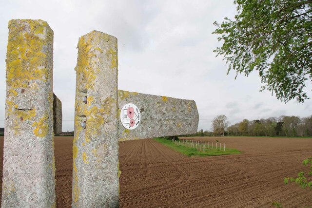
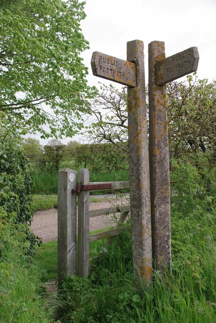
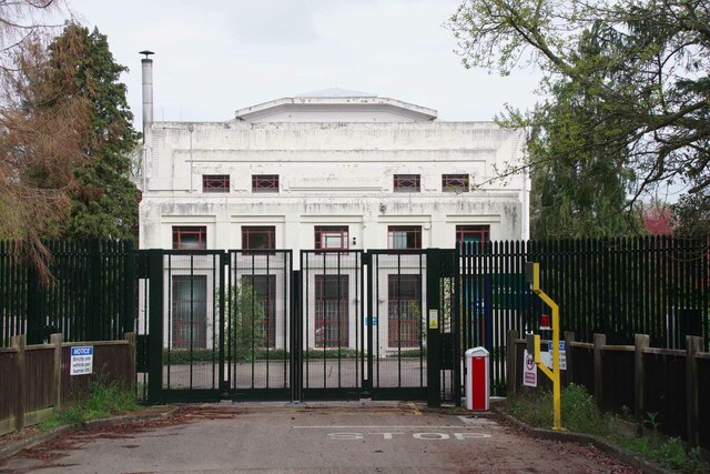
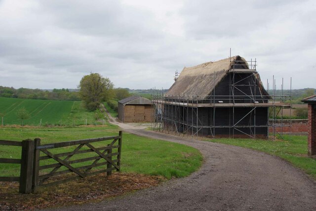
Boxted Cross Images

Images are sourced within 2km of 51.954254/0.9176018 or Grid Reference TM0032. Thanks to Geograph Open Source API. All images are credited.

The Essex Way at Boxted Hall This is Boxted Footpath #1;  it comes out in Church Street.
The Essex Way at Boxted Hall
This is Boxted Footpath #1; it comes out in Church Street.
Houses at the Top of Burnt Dick Hill In the outskirts of Boxted.
Houses at the Top of Burnt Dick Hill
In the outskirts of Boxted.
Holly Hedge at Boxted Hall Looking towards the village.
Holly Hedge at Boxted Hall
Looking towards the village.
Church Street Boxted Looking towards Parsonage Lane.
Church Street Boxted
Looking towards Parsonage Lane.
Old Boundary Marker off Langham Lane, Langham MOD Boundary Marker southeast of Langham Lane, at the entrance to Boxted Airfield Museum, on the former Boxted airfield. Langham parish. While the airfield was used from 1943 to 1947, the Royal Observer Corps post was used from 1961 to 1991 and the marker will date after 1964. Reference <span class="nowrap"><a title="https://www.subbrit.org.uk/sites/langham-roc-post/" rel="nofollow ugc noopener" href="https://www.subbrit.org.uk/sites/langham-roc-post/">Link</a><img style="margin-left:2px;" alt="External link" title="External link - shift click to open in new window" src="https://s1.geograph.org.uk/img/external.png" width="10" height="10"/></span>.

Milestone Society National ID: EX_MODLAN01em
Old Boundary Marker off Langham Lane, Langham
MOD Boundary Marker southeast of Langham Lane, at the entrance to Boxted Airfield Museum, on the former Boxted airfield. Langham parish. While the airfield was used from 1943 to 1947, the Royal Observer Corps post was used from 1961 to 1991 and the marker will date after 1964. Reference LinkExternal link. Milestone Society National ID: EX_MODLAN01em
Bunting and Boxted Cross Coronation morning in Boxted Cross
Bunting and Boxted Cross
Coronation morning in Boxted Cross
The Village Sign at Boxted Cross Taken on coronation morning.
The Village Sign at Boxted Cross
Taken on coronation morning.
Boxted Footpath # 18 This path heads for Hill Farm.
Boxted Footpath # 18
This path heads for Hill Farm.
High Hedges Near Rivers Hall
The Way to Rivers Hall The right hand fork is Sky Hall Hill. The flush of pink under the tree 
is <a href="https://www.geograph.org.uk/photo/7477285">TM0133 : Red Stem Stork's-Bill</a>
The Way to Rivers Hall
The right hand fork is Sky Hall Hill. The flush of pink under the tree is TM0133 : Red Stem Stork's-Bill
Red Stem Stork's-Bill Well that is what my phone app told me!
Red Stem Stork's-Bill
Well that is what my phone app told me!
Boxted Footpath #46 Part of the Essex Way.
Boxted Footpath #46
Part of the Essex Way.
The Essex Way A brace of concrete fingerposts at a footpath junction.
The Essex Way
A brace of concrete fingerposts at a footpath junction.
Footpath Junction at Rivers Hall This is the Junction with Boxted Footpath #46 (The Essex Way) and Boxted footpath 10 to Boxted Cross.
Footpath Junction at Rivers Hall
This is the Junction with Boxted Footpath #46 (The Essex Way) and Boxted footpath 10 to Boxted Cross.
Langham Water Treatment Works The Art Deco structure does a fair impression of Fort Knox!
Langham Water Treatment Works
The Art Deco structure does a fair impression of Fort Knox!
Lower Farm Road Looking towards Lower Farm.
Lower Farm Road
Looking towards Lower Farm.
Rethatching a Barn At Lower Farm
Rethatching a Barn
At Lower Farm
Lower Farm Near Boxted
Lower Farm
Near Boxted
Show me another place!

Boxted Cross is located at Grid Ref: TM0032 (Lat: 51.954254, Lng: 0.9176018)

Administrative County: Essex

District: Colchester

Police Authority: Essex

What 3 Words

///cowboy.basher.bulldozer. Near Boxted, Essex

Nearby Locations

Boxted Cross

Related Wikis

Boxted House

Boxted House is a Grade II listed house in Boxted, Essex. It was built in about 1830.It was home to the advertising executive Bobby Bevan (1901-1974),...

Workhouse Hill

Workhouse Hill is a hamlet in the Colchester district, in the English county of Essex. == References == Sources

Boxted, Essex

Boxted is a village and civil parish in the City of Colchester district of Essex, England. It is located approximately 5 miles (8 km) north of Colchester...

RAF Boxted

Royal Air Force Boxted or more simply RAF Boxted is a former Royal Air Force station located 4 miles (6.4 km) north-northeast of Colchester, Essex England...

Nearby Amenities

Located within 500m of 51.954254,0.9176018
Bus Stop
Village Hall
Naptan AtcoCode: 150029080002
Naptan Bearing: NE
Naptan CommonName: Village Hall
Naptan Indicator: o/s
Naptan Landmark: Village Hall
Naptan NaptanCode: esxgdwda
Naptan Street: Dedham Road
Naptan Verified: no
Public Transport: platform
Source: naptan_import
Lat/Long: 51.9547328/0.9185568
Bus Stop
Hobbs Drive
Naptan AtcoCode: 150029080003
Naptan Bearing: NE
Naptan BusStopType: CUS
Naptan CommonName: Hobbs Drive
Naptan Crossing: Hobbs Drive
Naptan Indicator: Adj
Naptan Landmark: Hobbs Drive
Naptan NaptanCode: esxgdwdg
Naptan Street: Boxted Straight Road
Naptan Verified: no
Public Transport: platform
Source: naptan_import
Lat/Long: 51.9539059/0.9152716
Village Hall
Naptan AtcoCode: 1500290800Y2
Naptan Bearing: SW
Naptan BusStopType: CUS
Naptan CommonName: Village Hall
Naptan Indicator: Opp
Naptan Landmark: Village Hall
Naptan NaptanCode: esxgpjmt
Naptan Street: Dedham Road
Naptan Verified: no
Public Transport: platform
Source: naptan_import
Lat/Long: 51.9546779/0.9185969
Bus Stop
Hobbs Drive
Naptan AtcoCode: 1500290800Y3
Naptan Bearing: SW
Naptan BusStopType: CUS
Naptan CommonName: Hobbs Drive
Naptan Crossing: Hobbs Drive
Naptan Indicator: Opp
Naptan Landmark: Hobbs Drive
Naptan NaptanCode: esxgtpjt
Naptan Street: Boxted Straight Road
Naptan Verified: no
Public Transport: platform
Source: naptan_import
Lat/Long: 51.9538682/0.9153419
Bus Stop
Cooks Hill
Naptan AtcoCode: 1500IM1346
Naptan Bearing: NE
Naptan BusStopType: CUS
Naptan CommonName: Homedale Corner
Naptan Crossing: Cooks Hill
Naptan Indicator: NE-bound
Naptan Landmark: Homedale Corner
Naptan NaptanCode: esxadjmg
Naptan Street: Dedham Road
Naptan Verified: no
Public Transport: platform
Source: naptan_import
Lat/Long: 51.9558402/0.921773
Bus Stop
Cooks Hill
Naptan AtcoCode: 1500IM1346Y
Naptan Bearing: SW
Naptan BusStopType: CUS
Naptan CommonName: Homedale Corner
Naptan Crossing: Cooks Hill
Naptan Indicator: SW-bound
Naptan Landmark: Homedale Corner
Naptan NaptanCode: esxjadjw
Naptan Street: Dedham Road
Naptan Verified: no
Public Transport: platform
Source: naptan_import
Lat/Long: 51.9557859/0.921784
Boxted Cross
Place: hamlet
Wikidata: Q4951994
Lat/Long: 51.9547267/0.9209416
Barrier: bollard
Bollard: fixed
Material: wood
Lat/Long: 51.9547448/0.9164324
Barrier: bollard
Bollard: fixed
Material: wood
Lat/Long: 51.9544922/0.9162426
Public Bookcase
Booth: K6
Disused Amenity: telephone
Man Made: telephone_box
Public Bookcase Type: phone_box
Lat/Long: 51.9546237/0.9185412
Post Box
Post Box Type: lamp
Royal Cypher: EIIR
Lat/Long: 51.9547182/0.9184907
Drinking Water
Lat/Long: 51.9537281/0.9182246
Entrance: yes
Lat/Long: 51.9537659/0.9181736
Bench
Lat/Long: 51.9537285/0.9183123
Shelter
Lat/Long: 51.9539179/0.9211037
Bicycle Parking
Bicycle Parking: wall_loops
Covered: no
Lat/Long: 51.9537315/0.9181815
Cafe
Harpers Caffe
Outdoor Seating: yes
Website: https://www.facebook.com/HarpersCaffe/
Lat/Long: 51.9532427/0.9186875
The data included in this document is from www.openstreetmap.org. The data is made available under ODbL.

Have you been to Boxted Cross?

Leave your review of Boxted Cross below (or comments, questions and feedback).