Vole
Settlement in Somerset Sedgemoor
England
Vole

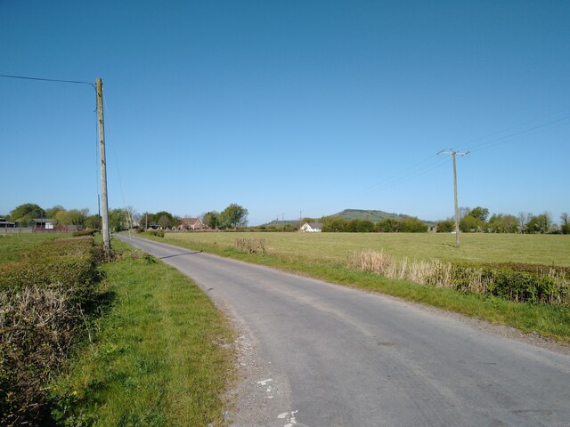
Vole is a small village located in the county of Somerset, England. It is situated approximately 8 miles south of the town of Taunton and lies within the Taunton Deane district. Vole is a predominantly rural area with a population of around 300 residents.
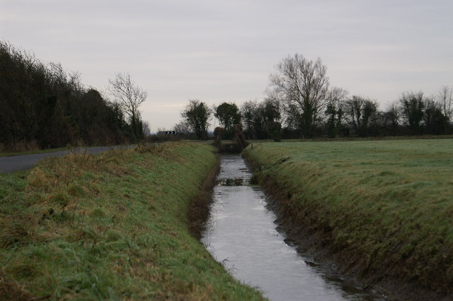
The village is known for its picturesque countryside, characterized by rolling hills and lush green fields. It offers a peaceful and tranquil environment, making it an ideal place for those looking to escape the hustle and bustle of city life. The village is surrounded by charming farmlands, where agriculture plays an important role in the local economy.
Despite its small size, Vole has a strong sense of community. The village has a local pub, The Vole Inn, which serves as a social hub for residents and visitors alike. The inn offers a range of traditional British cuisine and a selection of locally brewed ales.
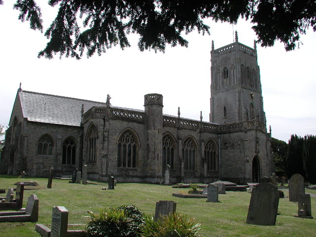
Vole is also home to a medieval church, St. Mary's, which dates back to the 12th century. The church is a significant historical landmark in the village and attracts visitors interested in its architectural and historical significance.
For those who enjoy outdoor activities, Vole offers various opportunities for walking, cycling, and exploring the surrounding countryside. The village is well-connected to nearby towns and cities, making it easily accessible for both residents and tourists.
Overall, Vole, Somerset, provides a charming and idyllic setting for those seeking a peaceful retreat in the heart of the English countryside.
If you have any feedback on the listing, please let us know in the comments section below.
Vole Images
Images are sourced within 2km of 51.243586/-2.9093386 or Grid Reference ST3649. Thanks to Geograph Open Source API. All images are credited.


Vole is located at Grid Ref: ST3649 (Lat: 51.243586, Lng: -2.9093386)
Administrative County: Somerset
District: Sedgemoor
Police Authority: Avon and Somerset
What 3 Words
///outnumber.notched.vitals. Near Brent Knoll, Somerset
Nearby Locations
Related Wikis

Hill Brow Preparatory School for Boys
Hill Brow Preparatory School for Boys was a small English preparatory school, initially based in Eastbourne, East Sussex, but subsequently relocated to...
Mark, Somerset
Mark is a village and civil parish which lies approximately 10 miles (16 km) from Bridgwater, 5 miles (8 km) from Axbridge, and 4 miles (6.4 km) from Highbridge...

Brent Knoll Camp
Brent Knoll Camp is an Iron Age hillfort at Brent Knoll, 3 kilometres (1.9 mi) from Burnham-on-Sea, Somerset, England. It has been designated as a Scheduled...
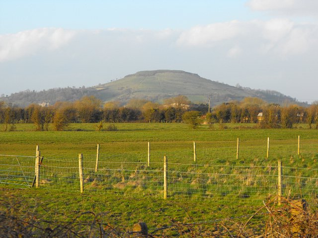
Brent Knoll
Brent Knoll is a 137-metre-high (449 ft) hill on the Somerset Levels, in Somerset, England. It is located roughly halfway between Weston-super-Mare and...
Nearby Amenities
Located within 500m of 51.243586,-2.9093386Have you been to Vole?
Leave your review of Vole below (or comments, questions and feedback).