Box Hill
Settlement in Surrey Mole Valley
England
Box Hill

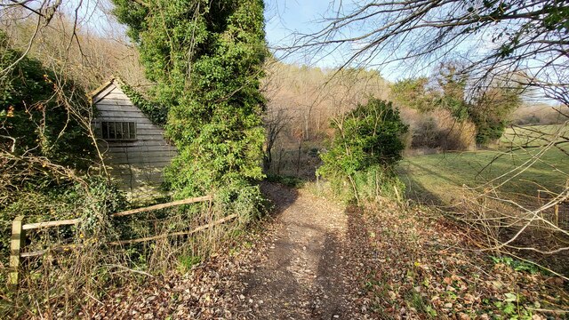
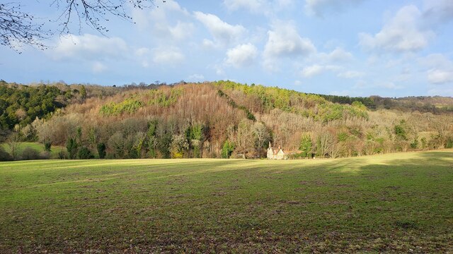
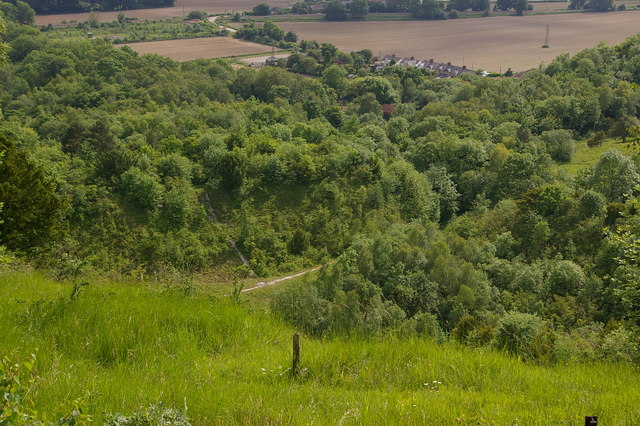
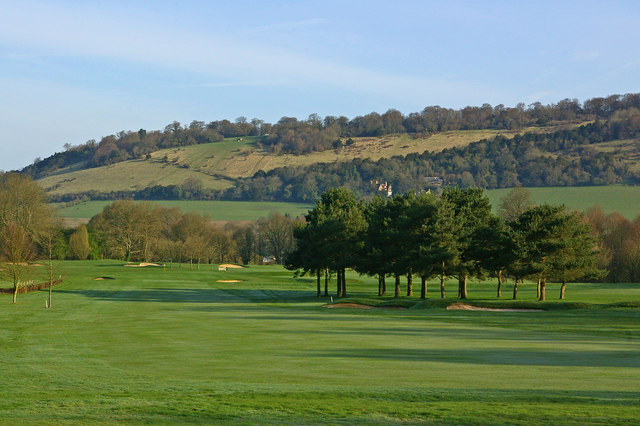
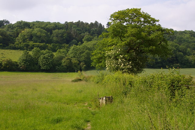
Box Hill is a picturesque area located in Surrey, England. It is a designated Area of Outstanding Natural Beauty and is renowned for its stunning views and diverse wildlife. Rising to a height of 224 meters, Box Hill offers panoramic vistas of the surrounding countryside, including the Surrey Hills and the River Mole valley.
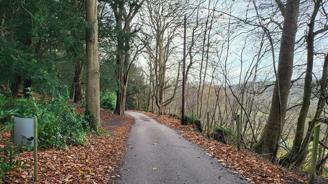
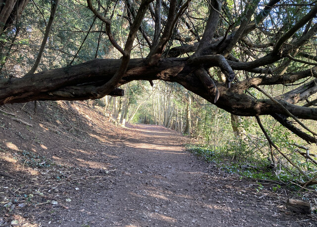
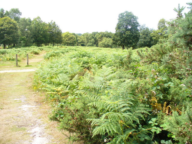
The area is famous for its abundant chalk grasslands, which support a wide variety of plant and animal species. Visitors to Box Hill can enjoy leisurely walks along the well-marked trails, taking in the breathtaking scenery and observing the rich flora and fauna. The hill is also a popular spot for cycling, with challenging routes and beautiful landscapes to explore.
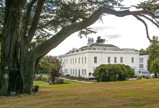
Box Hill is home to the National Trust's Box Hill estate, which provides visitors with a range of facilities, including a visitor center, cafe, and gift shop. The estate offers educational programs and events for all ages, allowing visitors to learn about the area's history, wildlife, and conservation efforts.
In addition to its natural beauty, Box Hill has historical significance. It was a frequent subject for renowned landscape painter John Constable, who captured its beauty in his artwork. The hill also played a role in the 2012 London Olympics, hosting the road cycling events.
Overall, Box Hill is a magnificent destination for nature lovers, outdoor enthusiasts, and those seeking a peaceful retreat. Its combination of stunning views, diverse wildlife, and rich history make it an area of great importance and interest in Surrey.
If you have any feedback on the listing, please let us know in the comments section below.
Box Hill Images
Images are sourced within 2km of 51.252887/-0.28902 or Grid Reference TQ1951. Thanks to Geograph Open Source API. All images are credited.


Box Hill is located at Grid Ref: TQ1951 (Lat: 51.252887, Lng: -0.28902)
Administrative County: Surrey
District: Mole Valley
Police Authority: Surrey
What 3 Words
///wipe.fishery.icons. Near Dorking, Surrey
Nearby Locations
Related Wikis
Mole Gap to Reigate Escarpment
Mole Gap to Reigate Escarpment is a 1,016.4-hectare (2,512-acre) biological and geological Site of Special Scientific Interest west of Reigate in Surrey...
Brockham Limeworks
Brockham Limeworks is a 45-hectare (110-acre) nature reserve north of Brockham in Surrey. It is owned by Surrey County Council. Part of it is a Scheduled...

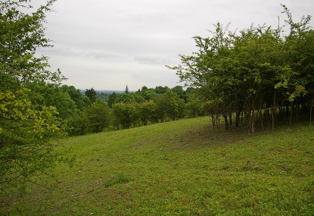
High Ashurst
High Ashurst is a large natural site of 56 acres of land in an Area of Outstanding Natural Beauty in North Downs, Surrey. The site has been host to many...
Box Hill, Surrey
Box Hill is a summit of the North Downs in Surrey, approximately 31 km (19 mi) south-west of London. The hill gets its name from the ancient box woodland...
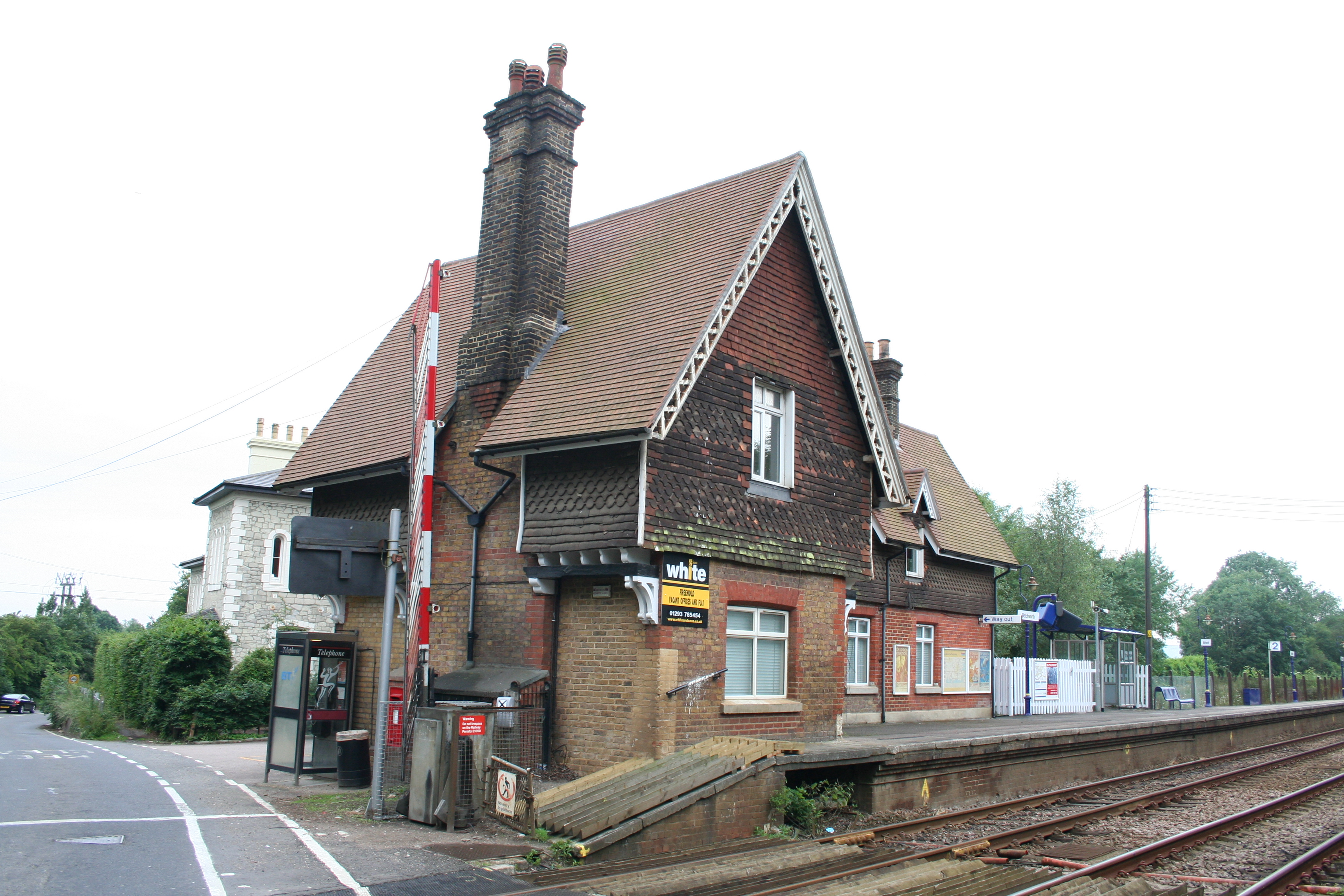
Betchworth railway station
Betchworth railway station serves the village of Betchworth in Surrey, England. It is on the North Downs Line, 27 miles 17 chains (27.21 miles, 43.79 km...
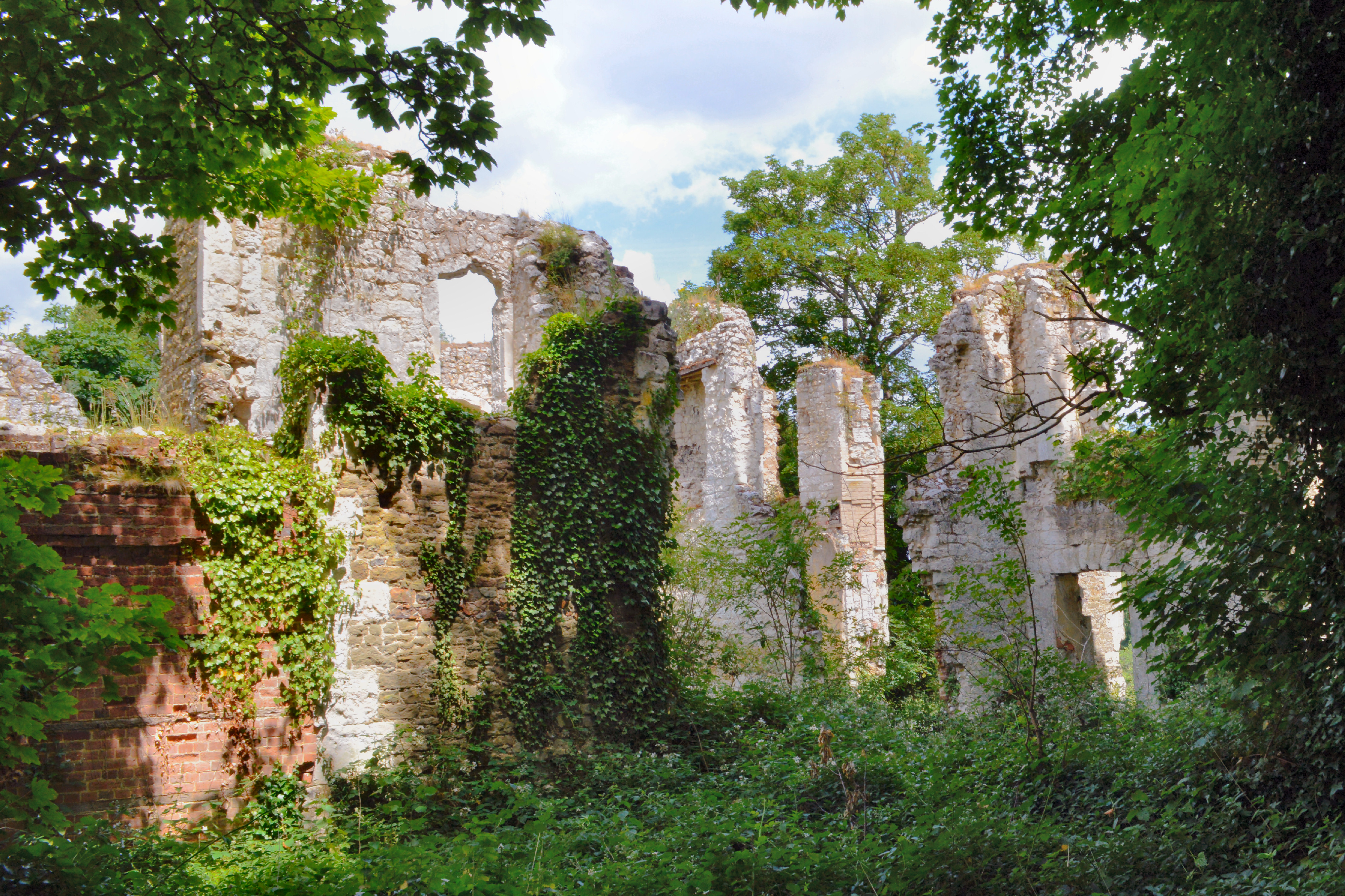
Betchworth Castle
Betchworth Castle is a mostly crumbled ruin of a fortified medieval stone house with some tall, two-storey corners strengthened in the 18th century, in...
Fraser Down
Fraser Down is a 10-hectare (25-acre) nature reserve north of Betchworth in Surrey. It is managed by the Surrey Wildlife Trust. It is part of the Mole...
Dawcombe
Dawcombe is a 23-hectare (57-acre) nature reserve north-west of Reigate in Surrey. It is managed by the Surrey Wildlife Trust. It is part of the Mole...
Nearby Amenities
Located within 500m of 51.252887,-0.28902Have you been to Box Hill?
Leave your review of Box Hill below (or comments, questions and feedback).