Victoria
Settlement in Monmouthshire
Wales
Victoria

Victoria is a small village located in the county of Monmouthshire, Wales. Situated on the eastern side of the county, it lies approximately 10 miles northeast of the bustling city of Newport. With a population of around 1,500 residents, it is a close-knit and tight community.
The village of Victoria is primarily a residential area, characterized by a mix of traditional Welsh cottages and modern housing developments. The surrounding countryside offers picturesque views, making it an attractive place to live for those seeking a quieter, more rural lifestyle.
Despite its small size, Victoria boasts a few amenities for its residents. The village has a local primary school, providing education for the younger population. There is also a small community center, which hosts various events and gatherings throughout the year. For shopping needs, residents can access nearby towns such as Abergavenny or Monmouth, both within a short drive.
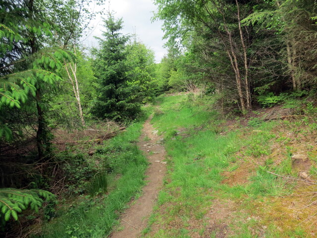
The area surrounding Victoria offers plenty of opportunities for outdoor activities. The village is located near the Brecon Beacons National Park, a popular destination for hiking, cycling, and exploring the stunning natural landscapes of Wales. Additionally, the River Usk flows nearby, providing opportunities for fishing and other water-based activities.
Overall, Victoria is a charming village in Monmouthshire, offering a peaceful and scenic environment for its residents. It is an ideal place for those seeking a rural lifestyle while still having access to nearby amenities and the natural beauty of the surrounding area.
If you have any feedback on the listing, please let us know in the comments section below.
Victoria Images
Images are sourced within 2km of 51.757359/-3.204248 or Grid Reference SO1607. Thanks to Geograph Open Source API. All images are credited.


Victoria is located at Grid Ref: SO1607 (Lat: 51.757359, Lng: -3.204248)
Unitary Authority: Blaenau Gwent
Police Authority: Gwent
What 3 Words
///singer.weedy.fans. Near Victoria, Blaenau Gwent
Nearby Locations
Related Wikis
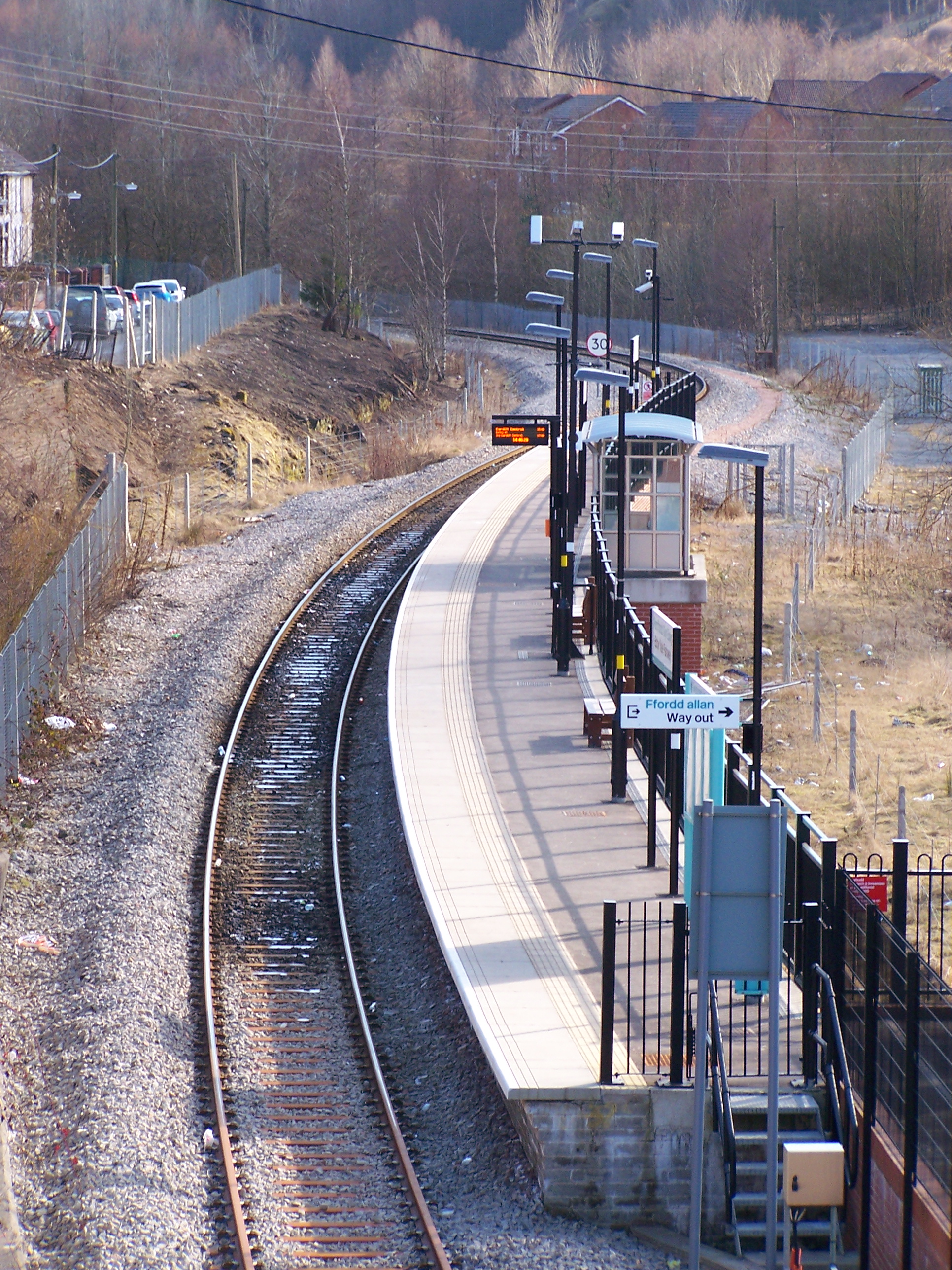
Ebbw Vale Parkway railway station
Ebbw Vale Parkway railway station (Welsh: Gorsaf reilffordd Parcffordd Glyn Ebwy) is a station on the Ebbw Valley Railway in Wales. The station opened...

Cefn Manmoel
Cefn Manmoel is the name given to the broad ridge of high ground between the Sirhowy Valley and Ebbw Vale in the Valleys region of South Wales. It straddles...
Waun-Lwyd
Waun-Lwyd or Waunlwyd is a village in the Ebbw Valley in Blaenau Gwent. It belongs in the community of Cwm.It is located 1.67 miles (2.69 km) south of...
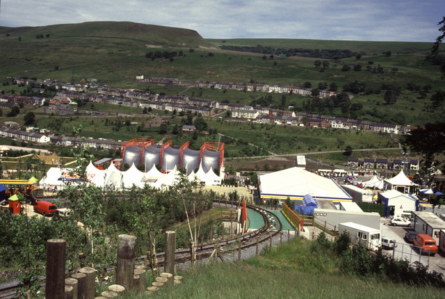
Ebbw Vale Garden Festival Funicular
The Ebbw Vale Garden Festival Funicular was a funicular railway built to carry visitors around the Ebbw Vale Garden Festival in 1992. == Festival == The...
Nearby Amenities
Located within 500m of 51.757359,-3.204248Have you been to Victoria?
Leave your review of Victoria below (or comments, questions and feedback).