Venton

Settlement in Devon South Hams

England

Venton

Old Boundary Marker on the former A38 in Lee Mill, Sparkwell parish Parish Boundary Marker in Lee Mill against the east end of the north parapet of Leemill Bridge, River Yealm. The inscription of ERMINGTON has been filled with concrete, perhaps in World War 2. One of a pair of markers at each end of the bridge. In Ermington parish until 1966 when it became part of Sparkwell parish.

Milestone Society National ID: DV_PLEX08bpb
Old Boundary Marker on the former A38 in Lee Mill, Sparkwell parish Credit: T Jenkinson

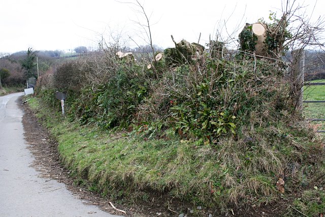
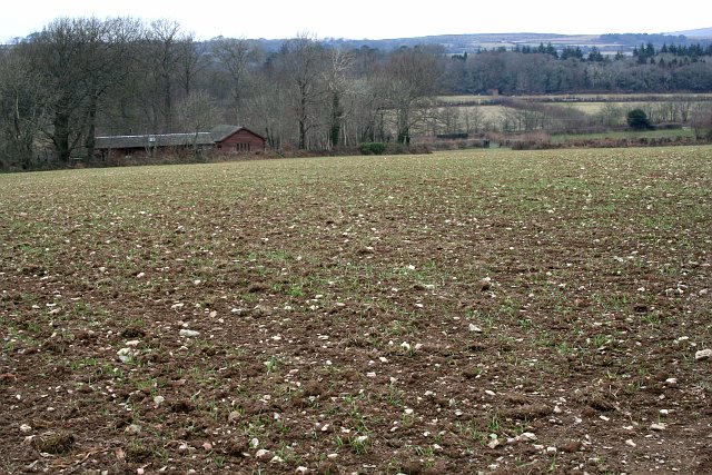
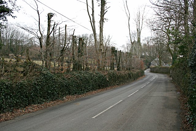
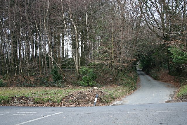
Venton is a small village located in Devon, England. Situated near the town of Okehampton, Venton is known for its picturesque countryside and tranquil atmosphere. The village is surrounded by rolling hills and lush green fields, making it an ideal destination for those looking to escape the hustle and bustle of city life.

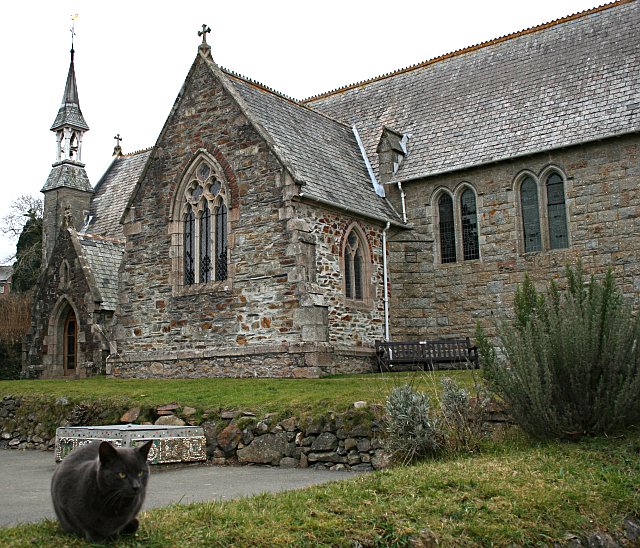
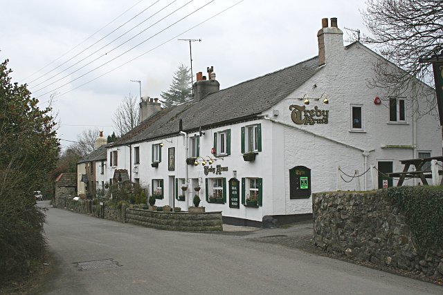
Venton is home to a tight-knit community, with a population of only a few hundred residents. The village has a charming village hall, a quaint church, and a small primary school. There are also a few local businesses, including a cozy pub and a small convenience store.

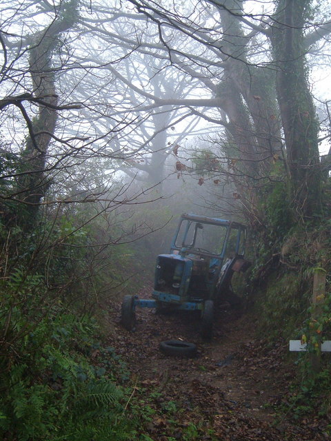
The surrounding area offers plenty of opportunities for outdoor activities such as hiking, cycling, and fishing. Venton is also located near the Dartmoor National Park, providing residents and visitors with access to stunning natural landscapes and wildlife.

Overall, Venton is a peaceful and idyllic village that offers a true taste of rural English life. Its friendly residents, stunning scenery, and proximity to nature make it a popular destination for those seeking a quiet and relaxing retreat.

If you have any feedback on the listing, please let us know in the comments section below.
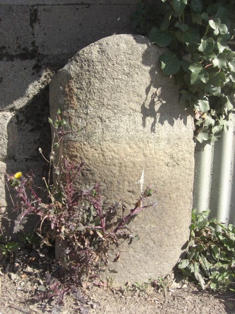
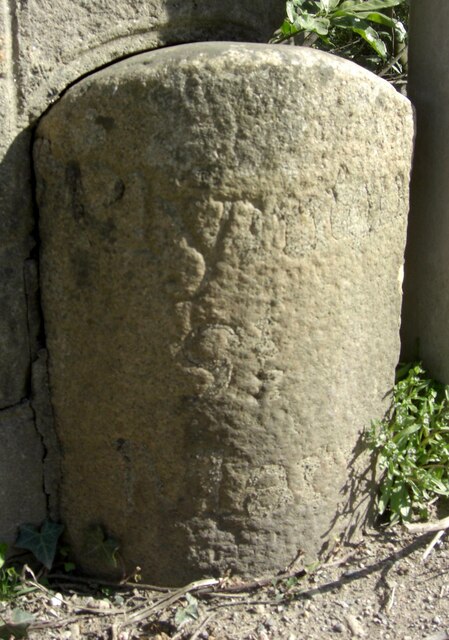
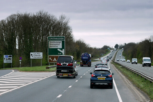
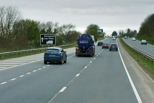
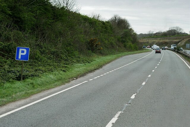
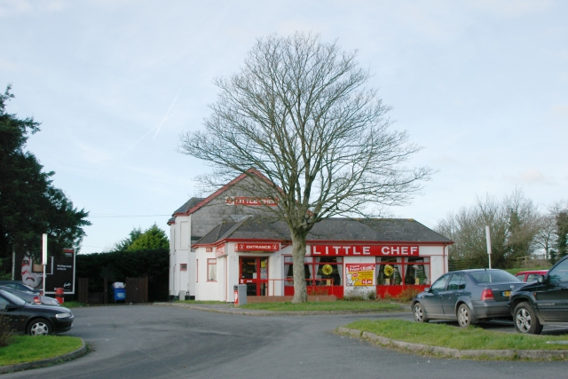
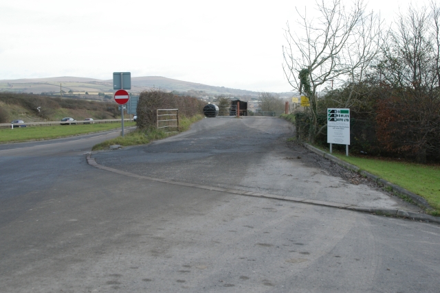
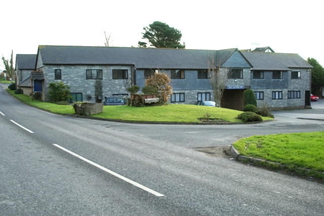
Venton Images

Images are sourced within 2km of 50.39443/-3.9883973 or Grid Reference SX5856. Thanks to Geograph Open Source API. All images are credited.

Old Boundary Marker on the former A38 in Lee Mill, Sparkwell parish Parish Boundary Marker in Lee Mill against the east end of the north parapet of Leemill Bridge, River Yealm. The inscription of ERMINGTON has been filled with concrete, perhaps in World War 2. One of a pair of markers at each end of the bridge. In Ermington parish until 1966 when it became part of Sparkwell parish.

Milestone Society National ID: DV_PLEX08bpb
Old Boundary Marker on the former A38 in Lee Mill, Sparkwell parish
Parish Boundary Marker in Lee Mill against the east end of the north parapet of Leemill Bridge, River Yealm. The inscription of ERMINGTON has been filled with concrete, perhaps in World War 2. One of a pair of markers at each end of the bridge. In Ermington parish until 1966 when it became part of Sparkwell parish. Milestone Society National ID: DV_PLEX08bpb
Old Boundary Marker on the former A38 in Lee Mill, Sparkwell parish Parish Boundary Marker against the west end of the north parapet of Leemill Bridge, River Yealm. The inscription of PLYMPTON / ST / MARY has been filled with concrete, perhaps in World War 2. One of a pair of markers at each end of the bridge. In Plympton St Mary parish until 1966 when it was renamed Sparkwell parish.

Milestone Society National ID: DV_PLEX08apb
Old Boundary Marker on the former A38 in Lee Mill, Sparkwell parish
Parish Boundary Marker against the west end of the north parapet of Leemill Bridge, River Yealm. The inscription of PLYMPTON / ST / MARY has been filled with concrete, perhaps in World War 2. One of a pair of markers at each end of the bridge. In Plympton St Mary parish until 1966 when it was renamed Sparkwell parish. Milestone Society National ID: DV_PLEX08apb
Devon Expressway, Lee Mill The A38 is a major A-class trunk route. When first designated in 1922, it ran from Derby to Plymouth but it was later extended at both ends so that it now runs for 292 miles from Mansfield in Nottinghamshire to Bodmin in Cornwall.

Prior to the opening of the M5 motorway in the 1960s and 1970s, the A38 formed the main "holiday route" from the Midlands to Somerset, Devon and Cornwall and the south-western section was notorious at holiday times for the congestion. Nowadays, for most of the southern section, the A38 is a fairly quiet road shadowing the M5 extremely closely; often running alongside the motorway as a single carriageway road. The section between Exeter and Plymouth is, however, a busy dual carriageway which serves as the southern extension of the M5 and is known as “the Devon Expressway”.

More information at <span class="nowrap"><a title="http://en.wikipedia.org/wiki/A38_road" rel="nofollow ugc noopener" href="http://en.wikipedia.org/wiki/A38_road">Link</a><img style="margin-left:2px;" alt="External link" title="External link - shift click to open in new window" src="https://s1.geograph.org.uk/img/external.png" width="10" height="10"/></span>  (Wikipedia) and <span class="nowrap"><a title="http://www.sabre-roads.org.uk/wiki/index.php?title=A38" rel="nofollow ugc noopener" href="http://www.sabre-roads.org.uk/wiki/index.php?title=A38">Link</a><img style="margin-left:2px;" alt="External link" title="External link - shift click to open in new window" src="https://s1.geograph.org.uk/img/external.png" width="10" height="10"/></span>  (SABRE).
Devon Expressway, Lee Mill
The A38 is a major A-class trunk route. When first designated in 1922, it ran from Derby to Plymouth but it was later extended at both ends so that it now runs for 292 miles from Mansfield in Nottinghamshire to Bodmin in Cornwall. Prior to the opening of the M5 motorway in the 1960s and 1970s, the A38 formed the main "holiday route" from the Midlands to Somerset, Devon and Cornwall and the south-western section was notorious at holiday times for the congestion. Nowadays, for most of the southern section, the A38 is a fairly quiet road shadowing the M5 extremely closely; often running alongside the motorway as a single carriageway road. The section between Exeter and Plymouth is, however, a busy dual carriageway which serves as the southern extension of the M5 and is known as “the Devon Expressway”. More information at LinkExternal link (Wikipedia) and LinkExternal link (SABRE).
A38 Devon Expressway near Lee Mill The A38 is a major A-class trunk route. When first designated in 1922, it ran from Derby to Plymouth but it was later extended at both ends so that it now runs for 292 miles from Mansfield in Nottinghamshire to Bodmin in Cornwall.

Prior to the opening of the M5 motorway in the 1960s and 1970s, the A38 formed the main "holiday route" from the Midlands to Somerset, Devon and Cornwall and the south-western section was notorious at holiday times for the congestion. Nowadays, for most of the southern section, the A38 is a fairly quiet road shadowing the M5 extremely closely; often running alongside the motorway as a single carriageway road. The section between Exeter and Plymouth is, however, a busy dual carriageway which serves as the southern extension of the M5 and is known as “the Devon Expressway”.

More information at <span class="nowrap"><a title="http://en.wikipedia.org/wiki/A38_road" rel="nofollow ugc noopener" href="http://en.wikipedia.org/wiki/A38_road">Link</a><img style="margin-left:2px;" alt="External link" title="External link - shift click to open in new window" src="https://s1.geograph.org.uk/img/external.png" width="10" height="10"/></span>  (Wikipedia) and <span class="nowrap"><a title="http://www.sabre-roads.org.uk/wiki/index.php?title=A38" rel="nofollow ugc noopener" href="http://www.sabre-roads.org.uk/wiki/index.php?title=A38">Link</a><img style="margin-left:2px;" alt="External link" title="External link - shift click to open in new window" src="https://s1.geograph.org.uk/img/external.png" width="10" height="10"/></span>  (SABRE).
A38 Devon Expressway near Lee Mill
The A38 is a major A-class trunk route. When first designated in 1922, it ran from Derby to Plymouth but it was later extended at both ends so that it now runs for 292 miles from Mansfield in Nottinghamshire to Bodmin in Cornwall. Prior to the opening of the M5 motorway in the 1960s and 1970s, the A38 formed the main "holiday route" from the Midlands to Somerset, Devon and Cornwall and the south-western section was notorious at holiday times for the congestion. Nowadays, for most of the southern section, the A38 is a fairly quiet road shadowing the M5 extremely closely; often running alongside the motorway as a single carriageway road. The section between Exeter and Plymouth is, however, a busy dual carriageway which serves as the southern extension of the M5 and is known as “the Devon Expressway”. More information at LinkExternal link (Wikipedia) and LinkExternal link (SABRE).
Layby on the Devon Expressway at Smithaleigh The A38 is a major A-class trunk route. When first designated in 1922, it ran from Derby to Plymouth but it was later extended at both ends so that it now runs for 292 miles from Mansfield in Nottinghamshire to Bodmin in Cornwall.

Prior to the opening of the M5 motorway in the 1960s and 1970s, the A38 formed the main "holiday route" from the Midlands to Somerset, Devon and Cornwall and the south-western section was notorious at holiday times for the congestion. Nowadays, for most of the southern section, the A38 is a fairly quiet road shadowing the M5 extremely closely; often running alongside the motorway as a single carriageway road. The section between Exeter and Plymouth is, however, a busy dual carriageway which serves as the southern extension of the M5 and is known as “the Devon Expressway”.

More information at <span class="nowrap"><a title="http://en.wikipedia.org/wiki/A38_road" rel="nofollow ugc noopener" href="http://en.wikipedia.org/wiki/A38_road">Link</a><img style="margin-left:2px;" alt="External link" title="External link - shift click to open in new window" src="https://s1.geograph.org.uk/img/external.png" width="10" height="10"/></span>  (Wikipedia) and <span class="nowrap"><a title="http://www.sabre-roads.org.uk/wiki/index.php?title=A38" rel="nofollow ugc noopener" href="http://www.sabre-roads.org.uk/wiki/index.php?title=A38">Link</a><img style="margin-left:2px;" alt="External link" title="External link - shift click to open in new window" src="https://s1.geograph.org.uk/img/external.png" width="10" height="10"/></span>  (SABRE).
Layby on the Devon Expressway at Smithaleigh
The A38 is a major A-class trunk route. When first designated in 1922, it ran from Derby to Plymouth but it was later extended at both ends so that it now runs for 292 miles from Mansfield in Nottinghamshire to Bodmin in Cornwall. Prior to the opening of the M5 motorway in the 1960s and 1970s, the A38 formed the main "holiday route" from the Midlands to Somerset, Devon and Cornwall and the south-western section was notorious at holiday times for the congestion. Nowadays, for most of the southern section, the A38 is a fairly quiet road shadowing the M5 extremely closely; often running alongside the motorway as a single carriageway road. The section between Exeter and Plymouth is, however, a busy dual carriageway which serves as the southern extension of the M5 and is known as “the Devon Expressway”. More information at LinkExternal link (Wikipedia) and LinkExternal link (SABRE).
Lyneham Inn, near Plympton Once occupying a busy location on the 'old' main A38(seen), the inn is now bypassed by the "A38 Devon Expressway", which passes approximately a 100 yards over to the south (righthand side).
Lyneham Inn, near Plympton
Once occupying a busy location on the 'old' main A38(seen), the inn is now bypassed by the "A38 Devon Expressway", which passes approximately a 100 yards over to the south (righthand side).
Little Chef, Smithaleigh The Little Chef at Smithaleigh, Devon, just off the A38 Plymouth bound carriageway.
Little Chef, Smithaleigh
The Little Chef at Smithaleigh, Devon, just off the A38 Plymouth bound carriageway.
Challonsleigh Farm Waste Recycling Centre The entrance to Challonsleigh Farm Waste Recycling Centre and Transfer Station at Smithaleigh, Devon. The cars on the left of the picture behind the crash barrier are travelling on the A38 towards Ivybridge.
Challonsleigh Farm Waste Recycling Centre
The entrance to Challonsleigh Farm Waste Recycling Centre and Transfer Station at Smithaleigh, Devon. The cars on the left of the picture behind the crash barrier are travelling on the A38 towards Ivybridge.
The New Country Inn, Smithaleigh The New Country Inn, Smithaleigh, Devon, lies on the route of the old A38. The current A38 now bypasses it to the north.
The New Country Inn, Smithaleigh
The New Country Inn, Smithaleigh, Devon, lies on the route of the old A38. The current A38 now bypasses it to the north.
Taming the Hedge This hedgerow at Langage Cross had been allowed to grow out into small trees.
Taming the Hedge
This hedgerow at Langage Cross had been allowed to grow out into small trees.
Newly Planted Field Looking towards Shipland Cottage.  The Ordnance Survey 1:25,000 map shows this field as woodland!
Newly Planted Field
Looking towards Shipland Cottage. The Ordnance Survey 1:25,000 map shows this field as woodland!
Under the Railway Line The bridge over this minor road carries the mainline railway.  The warning sign says the road is liable to flooding.
Under the Railway Line
The bridge over this minor road carries the mainline railway. The warning sign says the road is liable to flooding.
Sparkwell Church All Saints Church
Sparkwell Church
All Saints Church
Newton's Row, Sparkwell This row of cottages is identified as "Newton's Row" by an inscription on the farthest house.  It was built in the early years of the 19th century.  The nearest and largest house is the village pub.
Newton's Row, Sparkwell
This row of cottages is identified as "Newton's Row" by an inscription on the farthest house. It was built in the early years of the 19th century. The nearest and largest house is the village pub.
Cut down hedgerow trees Along the road between Sparkwell and Lutton
Cut down hedgerow trees
Along the road between Sparkwell and Lutton
Beechwood Cross
Beechwood Cross
Slade viaduct Like several viaducts on this line, the trestle-less piers of Brunel's 1849 viaduct (pictured here <span class="nowrap"><a title="http://digbig.com/4gneq" rel="nofollow ugc noopener" href="http://digbig.com/4gneq">Link</a><img style="margin-left:2px;" alt="External link" title="External link - shift click to open in new window" src="https://s1.geograph.org.uk/img/external.png" width="10" height="10"/></span> ) stand alongside the 1893 replacement. Taken looking east (and up), from bridleway at the edge of wood and Piall valley.
Slade viaduct
Like several viaducts on this line, the trestle-less piers of Brunel's 1849 viaduct (pictured here LinkExternal link ) stand alongside the 1893 replacement. Taken looking east (and up), from bridleway at the edge of wood and Piall valley.
Blocked green lane near Hemerdon Ball Someone seems to have abandoned a tractor a few yards up this green lane between Bickfordtown Farm and Hemerdon Ball.
Blocked green lane near Hemerdon Ball
Someone seems to have abandoned a tractor a few yards up this green lane between Bickfordtown Farm and Hemerdon Ball.
Show me another place!

Venton is located at Grid Ref: SX5856 (Lat: 50.39443, Lng: -3.9883973)

Administrative County: Devon

District: South Hams

Police Authority: Devon and Cornwall

What 3 Words

///cycles.bookshop.imparts. Near Ivybridge, Devon

Nearby Locations

Venton

Related Wikis

South West Devon (UK Parliament constituency)

South West Devon is a constituency represented in the House of Commons of the UK Parliament since 1997 by Sir Gary Streeter, a Conservative. == Boundaries... ==

Sparkwell

Sparkwell is a small village and civil parish in the South Hams district of Devon. Historically it was part of Haytor Hundred.Its local Anglican church...

Dartmoor Zoological Park

Dartmoor Zoological Park (originally Dartmoor Wildlife Park) is a 30-acre (12 ha) zoo just north of the village of Sparkwell, on the south-west edge of...

Langage Power Station

Langage Power Station is a combined-cycle power plant near the city of Plymouth in Devon, England. Centrica, the original owners of the site, announced...

Nearby Amenities

Located within 500m of 50.39443,-3.9883973
Railway: switch
Lat/Long: 50.3960195/-3.9946297
Barrier: stile
Foot: yes
Lat/Long: 50.3944/-3.98846
Generator Method: photovoltaic
Generator Output Electricity: yes
Generator Source: solar
Generator Type: solar_photovoltaic_panel
Location: roof
Power: generator
Lat/Long: 50.396923/-3.9883523
Generator Method: photovoltaic
Generator Output Electricity: yes
Generator Source: solar
Generator Type: solar_photovoltaic_panel
Location: roof
Power: generator
Lat/Long: 50.396917/-3.9884247
Generator Method: photovoltaic
Generator Output Electricity: yes
Generator Source: solar
Generator Type: solar_photovoltaic_panel
Location: roof
Power: generator
Lat/Long: 50.3934383/-3.9861622
Generator Method: photovoltaic
Generator Output Electricity: yes
Generator Source: solar
Generator Type: solar_photovoltaic_panel
Location: roof
Power: generator
Lat/Long: 50.3942351/-3.9822797
Generator Method: photovoltaic
Generator Output Electricity: yes
Generator Source: solar
Generator Type: solar_photovoltaic_panel
Location: roof
Power: generator
Lat/Long: 50.3942111/-3.9822502
Generator Method: photovoltaic
Generator Output Electricity: yes
Generator Source: solar
Generator Type: solar_photovoltaic_panel
Location: roof
Power: generator
Lat/Long: 50.3940692/-3.9829369
Generator Method: photovoltaic
Generator Output Electricity: yes
Generator Source: solar
Generator Type: solar_photovoltaic_panel
Location: roof
Power: generator
Lat/Long: 50.3940273/-3.9838073
Post Box
Brand: Royal Mail
Brand Wikidata: Q638098
Brand Wikipedia: en:Royal Mail
Collection Times: Mo-Fr 15:45; Sa 09:30; Su off
Drive Through: no
Operator: Royal Mail
Operator Wikidata: Q638098
Post Box Design: type_b
Post Box Mounting: brick_pillar
Post Box Type: wall
Ref: PL7 733
Royal Cypher: GR
Royal Cypher Wikidata: Q33102273
Source: survey;streetlevel imagery;aerial imagery
Lat/Long: 50.393582/-3.9861245
The data included in this document is from www.openstreetmap.org. The data is made available under ODbL.

Have you been to Venton?

Leave your review of Venton below (or comments, questions and feedback).