Venterdon

Settlement in Cornwall

England

Venterdon

Junction with Stoke Road near Alren Farm
Junction with Stoke Road near Alren Farm Credit: David Smith

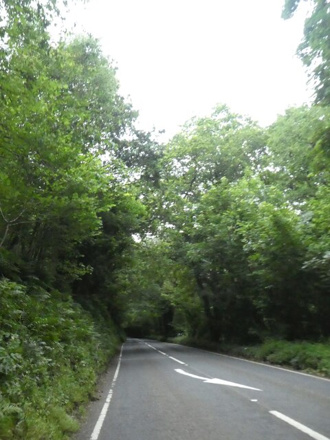
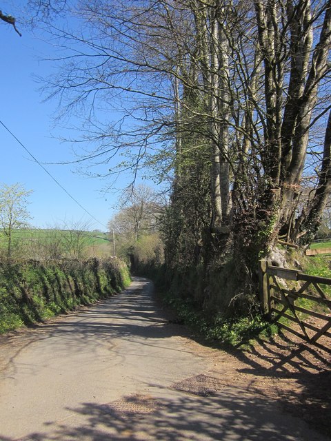
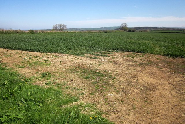
Venterdon is a small village located in Cornwall, England. Situated in the rural countryside, Venterdon is known for its picturesque landscape and tranquil atmosphere. The village is surrounded by rolling hills, lush green fields, and charming farmhouses, making it an ideal destination for those seeking a peaceful retreat.

Venterdon is a close-knit community with a population of around 200 residents. The village is home to a few local shops, a traditional pub, and a village hall where residents gather for social events and community activities. The village also has a primary school, providing education for the local children.

Venterdon is located near the larger town of Launceston, which offers additional amenities and services. The village is well-connected by road, making it easy to access the nearby attractions and amenities in the surrounding area.

Overall, Venterdon is a quaint and charming village that offers a peaceful and idyllic setting for residents and visitors alike. Its rural location and stunning scenery make it a popular destination for those looking to escape the hustle and bustle of city life.

If you have any feedback on the listing, please let us know in the comments section below.
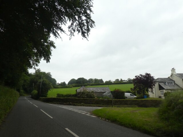
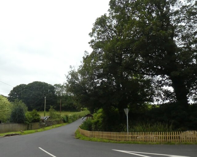
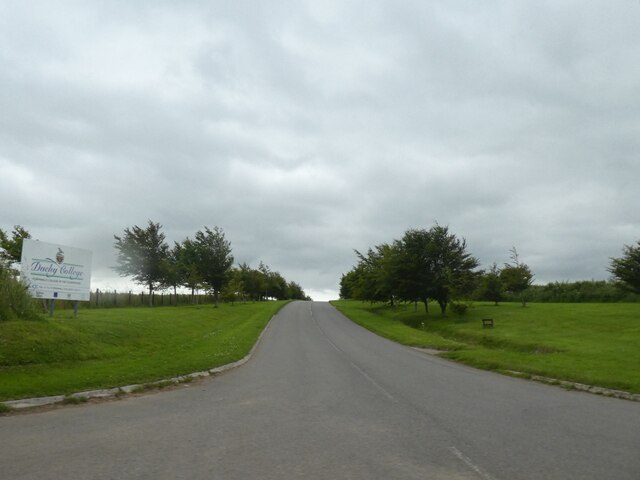
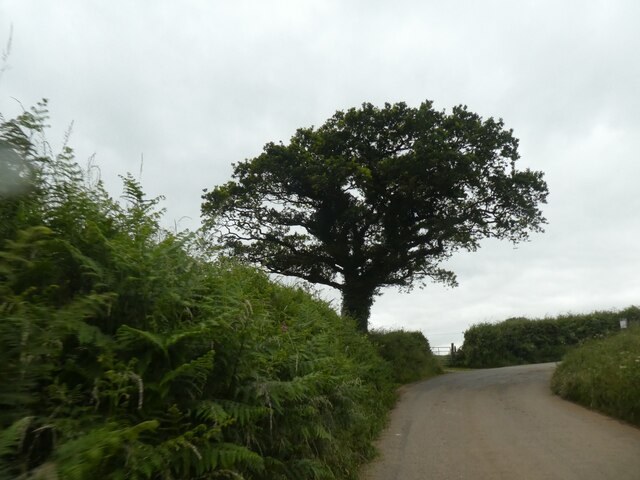
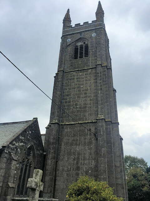
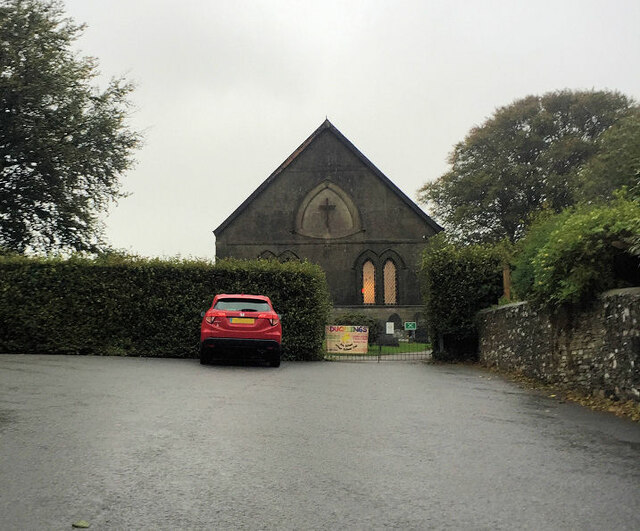
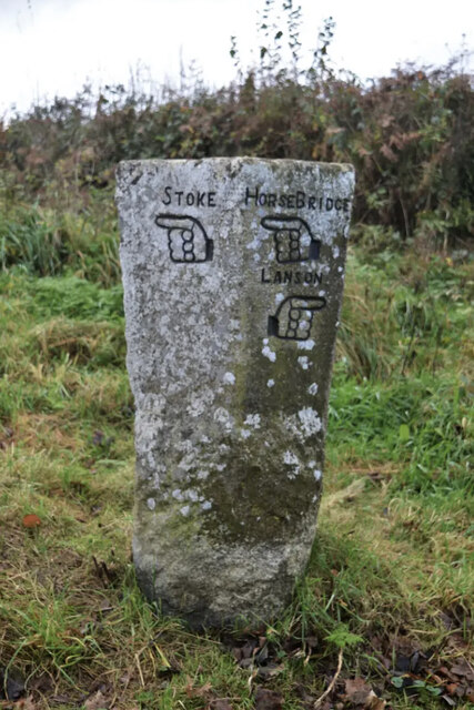
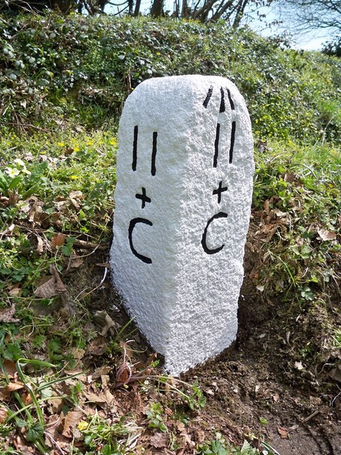
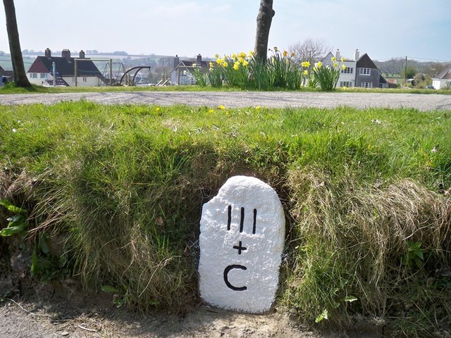
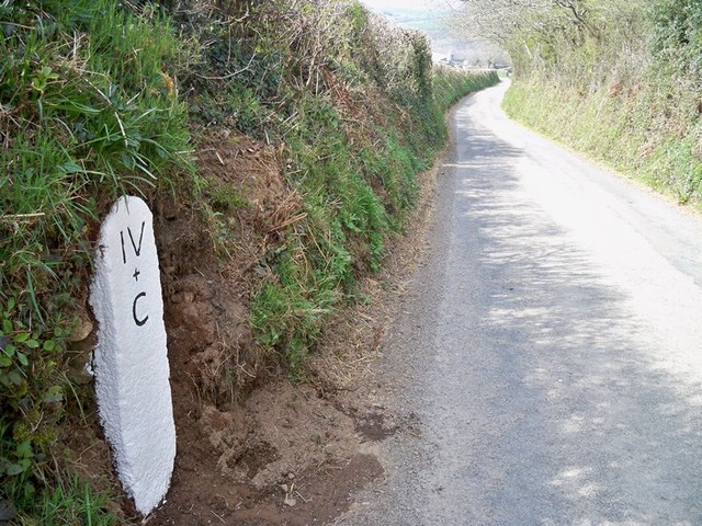
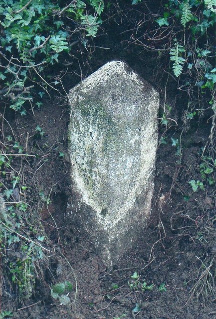
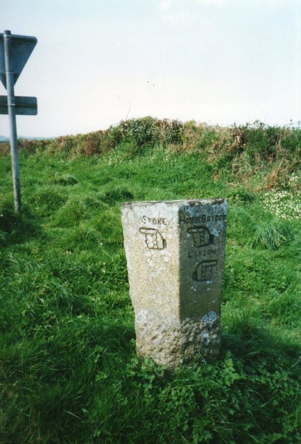
Venterdon Images

Images are sourced within 2km of 50.549248/-4.3183251 or Grid Reference SX3574. Thanks to Geograph Open Source API. All images are credited.

Junction with Stoke Road near Alren Farm
Derestriction signs on west of Stoke Climsland
Approach road to the Duchy College, Stoke Climsland
Tree on a bend in the road, west of Stoke Climsland
A388 in Sturts Wood
A388 in Sturts Wood
Stoke Climsland Church Tower
Stoke Climsland Methodist Church
Old Boundary Marker, Duchy College, Stoke Climsland Boundary Marker set in the wall of the quadrangle behind the Reception of Duchy College, Stoke Climsland. Stokeclimsland parish. Inscribed BS.

Milestone Society National ID: CW_STOKE03bm
Old Boundary Marker, Duchy College, Stoke Climsland
Boundary Marker set in the wall of the quadrangle behind the Reception of Duchy College, Stoke Climsland. Stokeclimsland parish. Inscribed BS. Milestone Society National ID: CW_STOKE03bm
Old Boundary Marker, Duchy College, Stoke Climsland Boundary Marker set in the wall beside a door in the quadrangle behind the Reception of Duchy College, Stoke Climsland. Stokeclimsland parish. Inscribed BS.

Milestone Society National ID: CW_STOKE04bm
Old Boundary Marker, Duchy College, Stoke Climsland
Boundary Marker set in the wall beside a door in the quadrangle behind the Reception of Duchy College, Stoke Climsland. Stokeclimsland parish. Inscribed BS. Milestone Society National ID: CW_STOKE04bm
Old Guide Stone by Goosewell crossroads, Stoke Climsland Stone fingerpost by the UC road, in parish of Stoke Climsland (North Cornwall District), Goosewell, crossroads, by the road. An earlier photograph can be found here: <a title="https://www.geograph.org.uk/photo/6038677" href="https://www.geograph.org.uk/photo/6038677">Link</a>

Inscription reads:
STOKE / {pointing hand} : : HORSEBRIDGE / {pointing hand} / LANSON / {pointing hand} 

Grade II listed. List Entry Number: 1220136 <span class="nowrap"><a title="https://historicengland.org.uk/listing/the-list/list-entry/1220136" rel="nofollow ugc noopener" href="https://historicengland.org.uk/listing/the-list/list-entry/1220136">Link</a><img style="margin-left:2px;" alt="External link" title="External link - shift click to open in new window" src="https://s1.geograph.org.uk/img/external.png" width="10" height="10"/></span>

Milestone Society National ID: CW_XSTOK3.
Old Guide Stone by Goosewell crossroads, Stoke Climsland
Stone fingerpost by the UC road, in parish of Stoke Climsland (North Cornwall District), Goosewell, crossroads, by the road. An earlier photograph can be found here: Link Inscription reads: STOKE / {pointing hand} : : HORSEBRIDGE / {pointing hand} / LANSON / {pointing hand} Grade II listed. List Entry Number: 1220136 LinkExternal link Milestone Society National ID: CW_XSTOK3.
Lane near Downgate Descending steadily into a deep valley at Old Mill.
Lane near Downgate
Descending steadily into a deep valley at Old Mill.
Crop north-west of Venterdon From the south-west corner of the left-hand of the fields shown in <a href="https://www.geograph.org.uk/photo/4438965">SX3575 : Two fields north of Venterdon</a>.
Crop north-west of Venterdon
From the south-west corner of the left-hand of the fields shown in SX3575 : Two fields north of Venterdon.
Old Milestone north of Higher Crockett Carved stone post by the UC road, in parish of STOKE CLIMSLAND (NORTH CORNWALL District), Lower Crockett Farm, at crossroads, set into bank, on East side of road. Callington C gravestone, erected by the Callington turnpike trust in the 18th century. 

Inscription reads:-
II / + / C : : II / + / C : 
Carved bench mark on top.

Grade II Listed. List Entry Number: 1290830
<span class="nowrap"><a title="https://historicengland.org.uk/listing/the-list/list-entry/1290830" rel="nofollow ugc noopener" href="https://historicengland.org.uk/listing/the-list/list-entry/1290830">Link</a><img style="margin-left:2px;" alt="External link" title="External link - shift click to open in new window" src="https://s1.geograph.org.uk/img/external.png" width="10" height="10"/></span>

Milestone Society National ID: CW_CLBM02.
Old Milestone north of Higher Crockett
Carved stone post by the UC road, in parish of STOKE CLIMSLAND (NORTH CORNWALL District), Lower Crockett Farm, at crossroads, set into bank, on East side of road. Callington C gravestone, erected by the Callington turnpike trust in the 18th century. Inscription reads:- II / + / C : : II / + / C : Carved bench mark on top. Grade II Listed. List Entry Number: 1290830 LinkExternal link Milestone Society National ID: CW_CLBM02.
Old Milestone in Stoke Climsland Carved stone post by the UC road, in parish of STOKE CLIMSLAND (NORTH CORNWALL District), village green, buried in bank, on West side of road. Callington C gravestone, erected by the Callington turnpike trust in the 18th century. 

Inscription reads:-
III
+
C

Grade II Listed. List Entry Number: 1220671
<span class="nowrap"><a title="https://historicengland.org.uk/listing/the-list/list-entry/1220671" rel="nofollow ugc noopener" href="https://historicengland.org.uk/listing/the-list/list-entry/1220671">Link</a><img style="margin-left:2px;" alt="External link" title="External link - shift click to open in new window" src="https://s1.geograph.org.uk/img/external.png" width="10" height="10"/></span>

Milestone Society National ID: CW_CLBM03.
Old Milestone in Stoke Climsland
Carved stone post by the UC road, in parish of STOKE CLIMSLAND (NORTH CORNWALL District), village green, buried in bank, on West side of road. Callington C gravestone, erected by the Callington turnpike trust in the 18th century. Inscription reads:- III + C Grade II Listed. List Entry Number: 1220671 LinkExternal link Milestone Society National ID: CW_CLBM03.
Old Milestone north of Kingston Carved stone post by the UC road, in parish of STOKECLIMSLAND (NORTH CORNWALL District), North of Kingston, in bank, on West side of road. Callington C gravestone, erected by the Callington turnpike trust in the 18th century. 

Inscription reads:-
IV
+
C 

Grade II Listed. List Entry Number: 1220242
<span class="nowrap"><a title="https://historicengland.org.uk/listing/the-list/list-entry/1220242" rel="nofollow ugc noopener" href="https://historicengland.org.uk/listing/the-list/list-entry/1220242">Link</a><img style="margin-left:2px;" alt="External link" title="External link - shift click to open in new window" src="https://s1.geograph.org.uk/img/external.png" width="10" height="10"/></span>

Milestone Society National ID: CW_CLBM04.
Old Milestone north of Kingston
Carved stone post by the UC road, in parish of STOKECLIMSLAND (NORTH CORNWALL District), North of Kingston, in bank, on West side of road. Callington C gravestone, erected by the Callington turnpike trust in the 18th century. Inscription reads:- IV + C Grade II Listed. List Entry Number: 1220242 LinkExternal link Milestone Society National ID: CW_CLBM04.
Old Milestone by the A388, south of Penpill Farm Carved stone post by the A388, in parish of STOKECLIMSLAND (NORTH CORNWALL District), 100m South of Penpill Farm, buried in bank at road edge, on East side of road. Callington HB stone, erected by the Local Highways Board in the 19th century. 

Inscription once read:-
: L / (7) : : C / (3½) :   
Carved benchmark on top.

Milestone Society National ID: CW_LACL07.
Old Milestone by the A388, south of Penpill Farm
Carved stone post by the A388, in parish of STOKECLIMSLAND (NORTH CORNWALL District), 100m South of Penpill Farm, buried in bank at road edge, on East side of road. Callington HB stone, erected by the Local Highways Board in the 19th century. Inscription once read:- : L / (7) : : C / (3½) : Carved benchmark on top. Milestone Society National ID: CW_LACL07.
Old Milestone by the A388, east of Taylor Shop Plantation Carved stone post by the A388, in parish of STOKECLIMSLAND (NORTH CORNWALL District), East of Taylor Shop Plantation, buried in bank, on East side of road. Callington HB stone, erected by the Local Highways Board in the 19th century. 

Inscription once read:-
: (L / 8) : : (C / 2½) :
(To Launceston and Callington)

Milestone Society National ID: CW_LACL08.
Old Milestone by the A388, east of Taylor Shop Plantation
Carved stone post by the A388, in parish of STOKECLIMSLAND (NORTH CORNWALL District), East of Taylor Shop Plantation, buried in bank, on East side of road. Callington HB stone, erected by the Local Highways Board in the 19th century. Inscription once read:- : (L / 8) : : (C / 2½) : (To Launceston and Callington) Milestone Society National ID: CW_LACL08.
Old Guide Stone by Goosewell crossroads, Stoke Climsland Stone fingerpost by the UC road, in parish of Stoke Climsland (North Cornwall District), Goosewell, crossroads, by the road.

Inscription reads:
: STOKE / {pointing hand} : : HORSEBRIDGE / {pointing hand} / LANSON / {pointing hand} :

Grade II listed. List Entry Number: 1220136
<span class="nowrap"><a title="https://historicengland.org.uk/listing/the-list/list-entry/1220136" rel="nofollow ugc noopener" href="https://historicengland.org.uk/listing/the-list/list-entry/1220136">Link</a><img style="margin-left:2px;" alt="External link" title="External link - shift click to open in new window" src="https://s1.geograph.org.uk/img/external.png" width="10" height="10"/></span>

Surveyed

Milestone Society National ID: CW_XSTOK3.
Old Guide Stone by Goosewell crossroads, Stoke Climsland
Stone fingerpost by the UC road, in parish of Stoke Climsland (North Cornwall District), Goosewell, crossroads, by the road. Inscription reads: : STOKE / {pointing hand} : : HORSEBRIDGE / {pointing hand} / LANSON / {pointing hand} : Grade II listed. List Entry Number: 1220136 LinkExternal link Surveyed Milestone Society National ID: CW_XSTOK3.
Show me another place!

Venterdon is located at Grid Ref: SX3574 (Lat: 50.549248, Lng: -4.3183251)

Unitary Authority: Cornwall

Police Authority: Devon and Cornwall

What 3 Words

///during.refreshed.tame. Near South Hill, Cornwall

Nearby Locations

Venterdon

Related Wikis

Venterdon

Venterdon is a hamlet in Cornwall, England. It is a quarter of a mile from Stoke Climsland. == References ==

Stoke Climsland

Stoke Climsland is a village in the valley of the River Tamar, Cornwall, England, United Kingdom within the civil parish of Stokeclimsland. The population...

Whiteford House

Whiteford House was an English country house near Stoke Climsland, Cornwall. It was built in 1775 by John Call and demolished in 1913. == History == There...

Old Mill, Cornwall

Old Mill is a hamlet in the civil parish of Stokeclimsland, Cornwall, England. == References ==

Nearby Amenities

Located within 500m of 50.549248,-4.3183251
Bus Stop
Recreation Ground
Naptan AtcoCode: 0800COA10588
Naptan Bearing: N
Naptan CommonName: Recreation Ground
Naptan NaptanCode: cordwdtd
Naptan Street: Kingston Road
Naptan Verified: no
Source: naptan_import
Lat/Long: 50.547125/-4.3159529
Bus Stop
Duchy College Entrance
Naptan AtcoCode: 0800FWX38767
Naptan Bearing: NE
Naptan CommonName: Duchy College Entrance
Naptan NaptanCode: cordwdgj
Naptan Street: Unclassified
Naptan Verified: no
Source: naptan_import
Lat/Long: 50.5486531/-4.322324
Bus Stop
Duchy College
Naptan AtcoCode: 0800PLY38732
Naptan Bearing: SW
Naptan CommonName: Duchy College
Naptan NaptanCode: cordwdta
Naptan Street: Kingston Road
Naptan Verified: no
Source: naptan_import
Lat/Long: 50.5459765/-4.3162637
Turning Circle
Lat/Long: 50.5471326/-4.3154985
Post Office
Stoke Climsland Post Office
Addr Postcode: PL17 8NY
Branch: Stoke Climsland
Brand: Post Office
Brand Wikidata: Q1783168
Check Date: 2020-02-20
Contact Website: https://www.postoffice.co.uk/branch-finder/2725398/stoke-climsland
Ref Pol Id: 10874
Lat/Long: 50.5465288/-4.3161504
Stoke Climsland
Name Kw: Tredirklym
Place: village
Source: OS_OpenData_StreetView
Wikidata: Q7618450
Lat/Long: 50.5461476/-4.3147339
Venterdon
Place: village
Source: OS_OpenData_StreetView
Wikidata: Q7920239
Lat/Long: 50.5494909/-4.3198784
Entrance: yes
Lat/Long: 50.5468445/-4.3161006
Entrance: yes
Lat/Long: 50.5462051/-4.3160781
Generator Method: photovoltaic
Generator Output Electricity: yes
Generator Source: solar
Generator Type: solar_photovoltaic_panel
Location: roof
Power: generator
Lat/Long: 50.5483149/-4.3151799
Generator Method: photovoltaic
Generator Output Electricity: yes
Generator Source: solar
Generator Type: solar_photovoltaic_panel
Location: roof
Power: generator
Lat/Long: 50.5480149/-4.3149358
Generator Method: photovoltaic
Generator Output Electricity: yes
Generator Source: solar
Generator Type: solar_photovoltaic_panel
Location: roof
Power: generator
Lat/Long: 50.5471491/-4.3150636
Defibrillator
Access: yes
Defibrillator Location: outside Stoke Climsland Sports & Social Club
Emergency: defibrillator
Indoor: no
Lat/Long: 50.5461966/-4.3160774
Passing Place
Lat/Long: 50.5502359/-4.3161267
Crossing
Lat/Long: 50.5494999/-4.3161581
Advertising: board
Lat/Long: 50.5467729/-4.3160958
Post Box
Post Box Type: wall
Royal Cypher: EIIR
Lat/Long: 50.5464913/-4.3161112
Historic: memorial
Memorial: war_memorial
Lat/Long: 50.546456/-4.3159087
The data included in this document is from www.openstreetmap.org. The data is made available under ODbL.

Have you been to Venterdon?

Leave your review of Venterdon below (or comments, questions and feedback).