Aish
Settlement in Devon South Hams
England
Aish
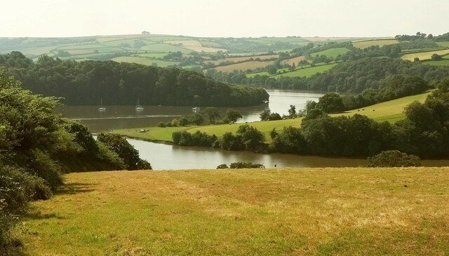
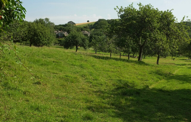
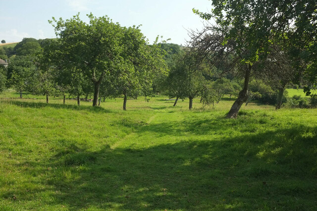
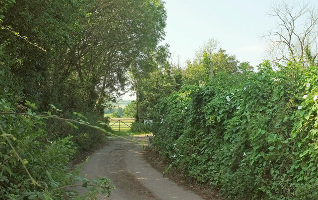
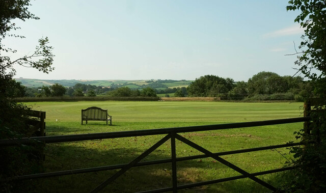
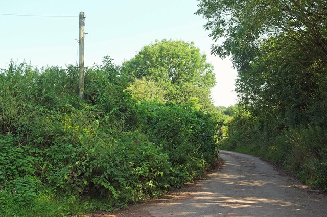
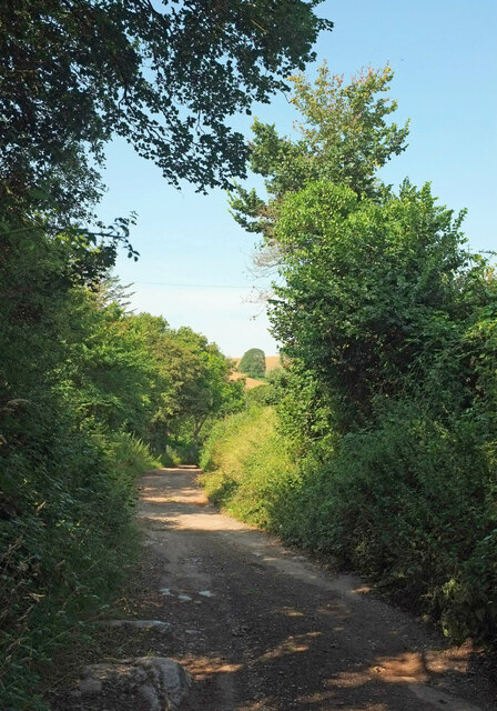
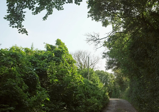
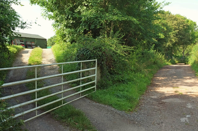
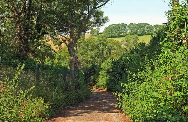
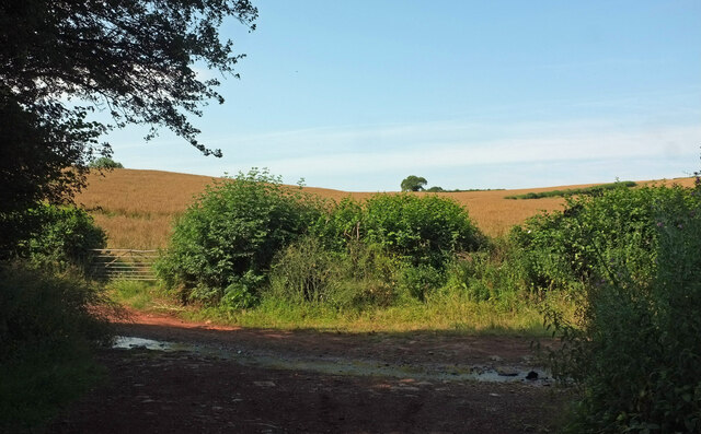
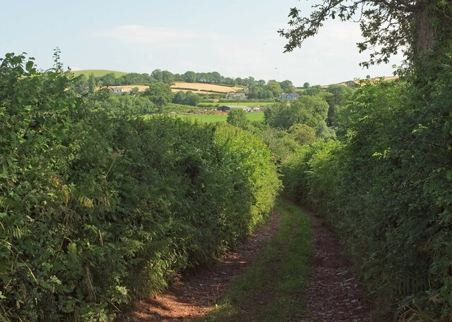
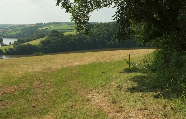
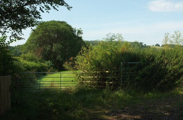
Aish is a small village located in the county of Devon, England. Situated on the eastern edge of Dartmoor National Park, it lies approximately 2 miles northeast of the town of Totnes. Aish is nestled in a picturesque countryside setting, characterized by rolling hills, lush green fields, and charming rural landscapes.
The village itself is quite small, with a population of around 200 residents. It is known for its peaceful and idyllic atmosphere, making it a popular destination for those seeking a tranquil retreat or a base for exploring the surrounding natural beauty. Aish offers a sense of seclusion and detachment from the hustle and bustle of urban life.
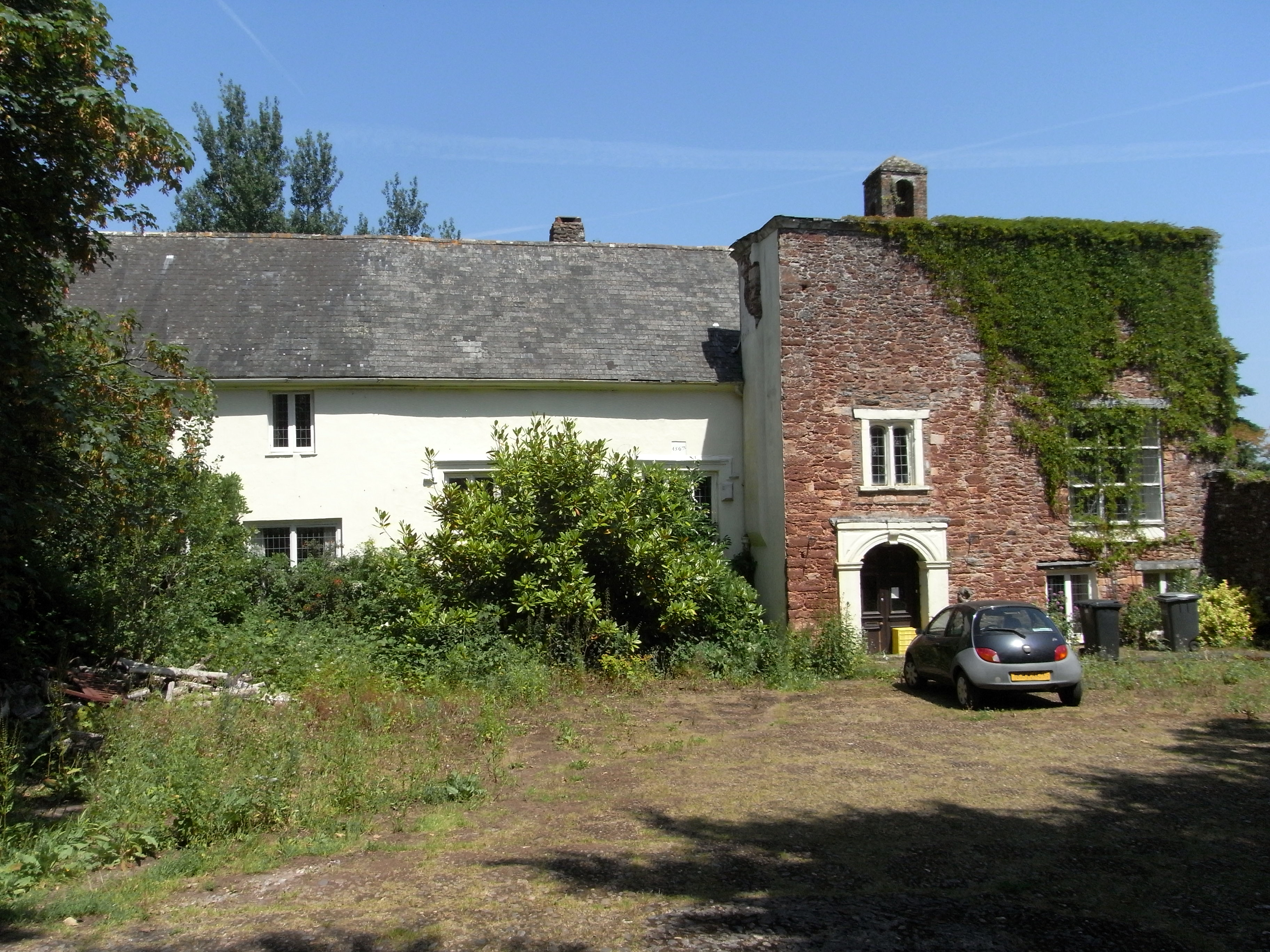
Despite its size, Aish has a rich history that dates back centuries. The village features a number of historic buildings, including traditional thatched cottages and a beautiful parish church, which adds to its quaint charm. The local community takes pride in preserving its heritage and maintaining the traditional character of the village.
For outdoor enthusiasts, Aish serves as an excellent starting point for exploring Dartmoor National Park. The park offers a variety of activities, such as hiking, cycling, and wildlife spotting. The stunning landscapes and diverse flora and fauna make it a paradise for nature lovers.
In summary, Aish is a small, peaceful village located in the scenic Devon countryside. With its rich history, charming architecture, and proximity to Dartmoor National Park, it provides an ideal retreat for those looking to escape the city and immerse themselves in nature.
If you have any feedback on the listing, please let us know in the comments section below.
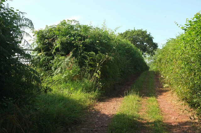
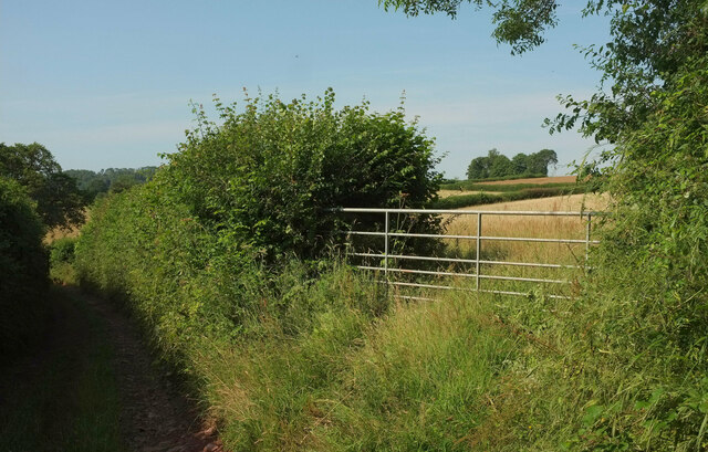
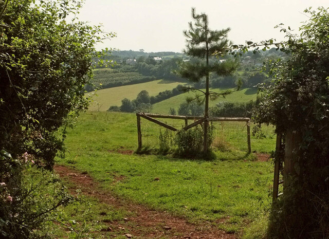
Aish Images
Images are sourced within 2km of 50.418455/-3.630697 or Grid Reference SX8458. Thanks to Geograph Open Source API. All images are credited.
Aish is located at Grid Ref: SX8458 (Lat: 50.418455, Lng: -3.630697)
Administrative County: Devon
District: South Hams
Police Authority: Devon and Cornwall
What 3 Words
///cascaded.gallons.educates. Near Stoke Gabriel, Devon
Nearby Locations
Related Wikis

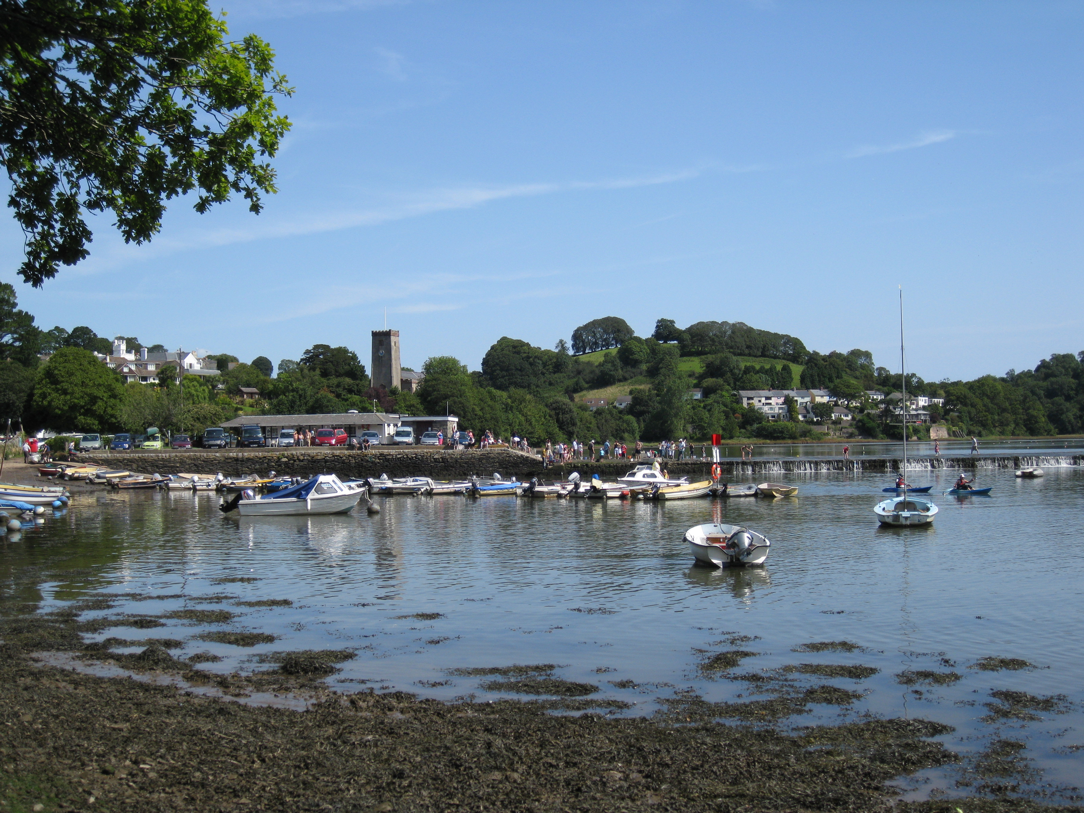
Aish, Stoke Gabriel
Aish is a hamlet in the English county of Devon, near the village of Stoke Gabriel. Aish House is a Grade II listed 19th century house on the south side...

Stoke Gabriel & Torbay Police F.C.
Stoke Gabriel & Torbay Police Football Club is a football club based in Stoke Gabriel, Devon, established in the early 1900s as Stoke Gabriel AFC. In June...

2019 Totnes bus crash
The 2019 Totnes bus crash was a single-vehicle collision on the A385 road at Berry Pomeroy, Devon, England on 5 October 2019. More than 50 people – including...
Stoke Gabriel
Stoke Gabriel is a village and parish in Devon, England, situated on a creek of the River Dart. The village is a popular tourist destination in the South...

Sharpham, Ashprington
Sharpham is an historic estate in the parish of Ashprington, Devon. The Georgian mansion house, known as Sharpham House, overlooks the River Dart and is...
Blagdon, Paignton
Blagdon historically in the parish of Paignton in Devon, England (today in the parish of Collaton St Mary), is a historic Manor, the seat of the Kirkham...

St Mary's Church, Berry Pomeroy
St Mary's Church of Berry Pomeroy is an Anglican parish church in Berry Pomeroy, with a full length, forty-two foot wide, rood screen which has been described...

Berry Pomeroy
Berry Pomeroy is a village and civil parish in the South Hams district of Devon, England, 2 miles (3 km) east of the town of Totnes. The parish is surrounded...
Nearby Amenities
Located within 500m of 50.418455,-3.630697Have you been to Aish?
Leave your review of Aish below (or comments, questions and feedback).