Bowriefauld

Settlement in Angus

Scotland

Bowriefauld

Kirkden Graveyard Kirkden graveyard situated on the edge of the village of Letham contains graves from as early as 1739 and the bell mounted on the wall belongs to the kirk which was demolished in 1952.
Kirkden Graveyard Credit: Mary Rodgers

Bowriefauld is a small rural hamlet located in Angus, Scotland. Situated near the town of Forfar, Bowriefauld is surrounded by picturesque countryside and farmland, making it an ideal location for those seeking a peaceful and tranquil setting.

The hamlet consists of a cluster of traditional stone-built cottages and farmhouses, giving it a quaint and charming appearance. The community is tight-knit and close, with residents often coming together for local events and gatherings.

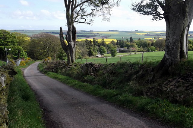
Bowriefauld is known for its stunning views of the surrounding hills and fields, making it a popular destination for hikers and nature enthusiasts. The nearby Loch of Lintrathen offers opportunities for fishing and boating, adding to the area's appeal for outdoor enthusiasts.

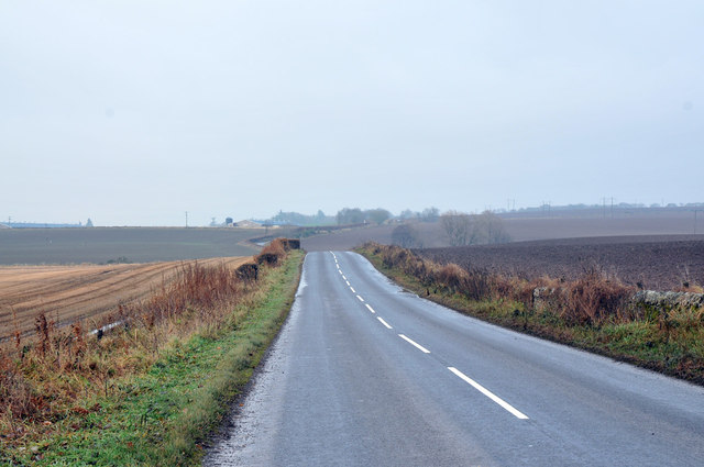
Despite its rural location, Bowriefauld is within easy reach of amenities and services in nearby Forfar, including shops, schools, and healthcare facilities. The hamlet is also well-connected by road, making it a convenient base for exploring the wider Angus region.

Overall, Bowriefauld offers a peaceful and idyllic setting for those looking to escape the hustle and bustle of urban life and immerse themselves in the beauty of the Scottish countryside.

If you have any feedback on the listing, please let us know in the comments section below.
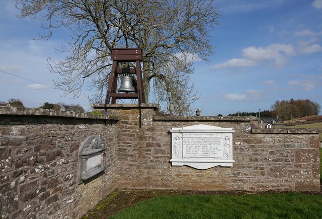
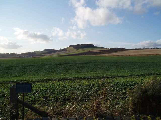
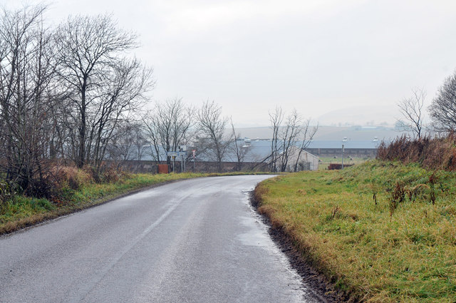
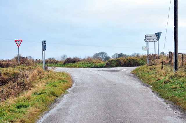
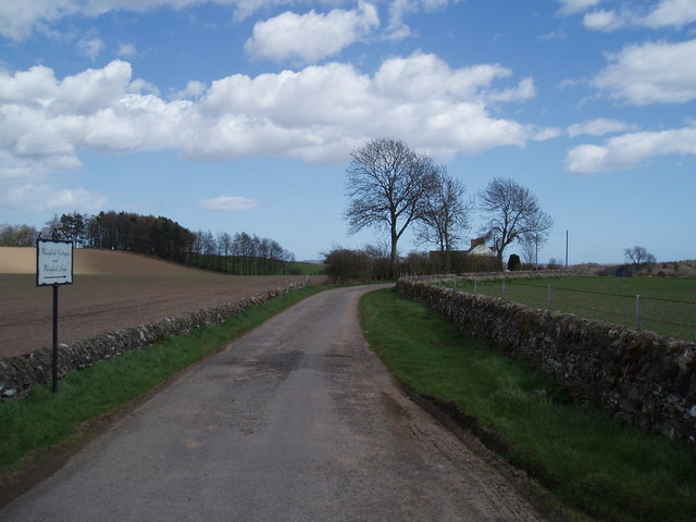
Bowriefauld Images

Images are sourced within 2km of 56.621844/-2.790056 or Grid Reference NO5148. Thanks to Geograph Open Source API. All images are credited.

Kirkden Graveyard Kirkden graveyard situated on the edge of the village of Letham contains graves from as early as 1739 and the bell mounted on the wall belongs to the kirk which was demolished in 1952.
Kirkden Graveyard
Kirkden graveyard situated on the edge of the village of Letham contains graves from as early as 1739 and the bell mounted on the wall belongs to the kirk which was demolished in 1952.
Nechtansmere and Dunnichen Hill In AD 685 the Battle of Nechtansmere took place near this site. The site is disputed and some historians assert that it took place much further north. Irrespective of this dispute the result of the battle brought to an end Northumbrian control in this part of Scotland.
Nechtansmere and Dunnichen Hill
In AD 685 the Battle of Nechtansmere took place near this site. The site is disputed and some historians assert that it took place much further north. Irrespective of this dispute the result of the battle brought to an end Northumbrian control in this part of Scotland.
View toward Tulloes from Dunnichen Hill near Letham, Angus I was intrigued by the greenery and patchwork effect of the oilseed rape crops.
View toward Tulloes from Dunnichen Hill near Letham, Angus
I was intrigued by the greenery and patchwork effect of the oilseed rape crops.
View of Letham, Angus and beyond from Dunnichen Hill The view shows the oilseed rape crops blooming, Letham Village and a reservoir in the foreground. Part of the road from Burnside Home Farm to Dunnichen Village can also be seen.
View of Letham, Angus and beyond from Dunnichen Hill
The view shows the oilseed rape crops blooming, Letham Village and a reservoir in the foreground. Part of the road from Burnside Home Farm to Dunnichen Village can also be seen.
Spring setting on Dunnichen Hill with sheep and lambs Photo taken from Burnside / Dunnichen Road looking west / northwest.
Spring setting on Dunnichen Hill with sheep and lambs
Photo taken from Burnside / Dunnichen Road looking west / northwest.
Road near Bractullo Mill
Road near Bractullo
Road near Bractullo
Road junction near Letham
Drummietermont
Drummietermont
Whitefield
Whitefield
Dunnichen Letham and Kirkden Church
Former Church, Letham This former quoad sacra church, Letham, was built about 1830 as a chapel of ease.
Former Church, Letham
This former quoad sacra church, Letham, was built about 1830 as a chapel of ease.
Lane overgrown with grass in Letham
Milestone, Craichie On a road between Forfar (4) and Carnoustie (9½). Technically a milepost.
Milestone, Craichie
On a road between Forfar (4) and Carnoustie (9½). Technically a milepost.
Barley, Craichie
Barley, Craichie
Wheat, Dunnichen Under Dunnichen Hill.
Wheat, Dunnichen
Under Dunnichen Hill.
Bowriefauld The telephone box was still operational.
Bowriefauld
The telephone box was still operational.
Show me another place!

Bowriefauld is located at Grid Ref: NO5148 (Lat: 56.621844, Lng: -2.790056)

Unitary Authority: Angus

Police Authority: Tayside

What 3 Words

///relished.yachting.cloak. Near Letham, Angus

Nearby Locations

Bowriefauld

Related Wikis

Bowriefauld

Bowriefauld is a village in Angus, Scotland.

Dunnichen

Dunnichen (Scots pronunciation: [dəˈnɪxən]; Scottish Gaelic: Dùn Eachain) is a small village in Angus, Scotland, situated between Letham and Forfar. It...

Letham, Angus

Letham (Scots pronunciation: [ˈlɛθəm]) is a village in Angus, Scotland. Letham is the largest village in Angus, with a population of nearly 2,000. Situated...
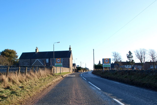
Craichie

Craichie (Scots pronunciation: [ˈkrexe]) is a hamlet in the parish of Dunnichen, Angus, Scotland. Craichie is three miles south-east of Forfar and two...

Nearby Amenities

Located within 500m of 56.621844,-2.790056
Bus Stop
The Shieling
Bench: no
Local Ref: OPP
Naptan AtcoCode: 6490IM401
Naptan Bearing: NE
Naptan BusStopType: CUS
Naptan CommonName: The Shieling
Naptan Indicator: opp
Naptan NaptanCode: 26423698
Naptan Street: Unclassified Road
Naptan Verified: no
Shelter: no
Source: naptan_import
Lat/Long: 56.6216842/-2.7904501
Bus Stop
The Shieling
Bench: no
Local Ref: at
Naptan AtcoCode: 6490IM409
Naptan Bearing: SW
Naptan BusStopType: CUS
Naptan CommonName: The Shieling
Naptan Indicator: at
Naptan Landmark: Bowriefauld
Naptan NaptanCode: 26426424
Naptan Street: Unclassified Road
Naptan Verified: no
Shelter: no
Source: naptan_import
Lat/Long: 56.6216358/-2.7904196
Bowriefauld
Is In: Angus, Scotland, UK
Name Sco: Bowriefaud
Place: village
Wikidata: Q4951393
Wikipedia: en:Bowriefauld
Lat/Long: 56.6221212/-2.7890439
Post Box
Collection Times: Mo-Fr 14:30; Sa 11:30
Operator: Royal Mail
Operator Wikidata: Q638098
Post Box Type: lamp
Ref: DD8 18
Royal Cypher: scottish_crown
Lat/Long: 56.6217199/-2.7900918
Crosston
Place: isolated_dwelling
Lat/Long: 56.6248141/-2.7886712
Information: guidepost
Tourism: information
Lat/Long: 56.6218429/-2.7900287
Information: guidepost
Tourism: information
Lat/Long: 56.6217396/-2.7899966
Information: board
Tourism: information
Lat/Long: 56.6221589/-2.7889401
Magna-Dry
Addr City: Forfar
Addr Housename: Parklands
Addr Place: Bowriefauld
Addr Postcode: DD8 2LX
Shop: dry_cleaning
Lat/Long: 56.6214439/-2.7862766
Bowriefauld
Traffic Sign: city_limit
Traffic Sign Direction: backward
Lat/Long: 56.6199374/-2.7933256
Bowriefauld
Traffic Sign: city_limit
Traffic Sign Direction: backward
Lat/Long: 56.6225953/-2.7911005
Bowriefauld
Traffic Sign: city_limit
Traffic Sign Direction: forward
Lat/Long: 56.6193891/-2.7834625
Drum of Dunnichen
Loc Name: The Drummie
Place: isolated_dwelling
Lat/Long: 56.6194241/-2.7917799
Bench
Backrest: yes
Material: wood
Lat/Long: 56.6237523/-2.7927217
Bench
Backrest: yes
Material: wood
Lat/Long: 56.623801/-2.7927834
Give Way
Direction: backward
Lat/Long: 56.6238454/-2.7924334
Historic: wayside_cross
Lat/Long: 56.6249822/-2.7876319
Street Lamp
Lat/Long: 56.6205501/-2.7926592
Street Lamp
Lat/Long: 56.6207693/-2.7923494
Street Lamp
Lat/Long: 56.6209515/-2.7920008
Street Lamp
Lat/Long: 56.62115/-2.7916293
Street Lamp
Lat/Long: 56.621499/-2.7909252
Street Lamp
Lat/Long: 56.6218768/-2.7902667
Street Lamp
Lat/Long: 56.6221424/-2.7905899
Street Lamp
Lat/Long: 56.6217358/-2.7900307
Street Lamp
Lat/Long: 56.6219535/-2.7895425
Street Lamp
Lat/Long: 56.6220797/-2.7891616
Street Lamp
Lat/Long: 56.6222781/-2.7886091
Street Lamp
Lat/Long: 56.6224404/-2.7881209
Street Lamp
Lat/Long: 56.6221593/-2.7875624
Historic: memorial
Inscription: These seats are erected by the congregation of Dunnichen Letham and Kirkden Church to the glory of God and in loving memory of The Rev. John Fulton, M.A. A devoted pastor and true servant of God 1931-1947
Memorial: plaque
Lat/Long: 56.6237467/-2.7927234
Historic: memorial
Inscription: These seats are erected by the congregation of Dunnichen Letham and Kirkden Church to the glory of God and in loving memory of The Rev. John Fulton, M.A. A devoted pastor and true servant of God 1931-1947
Material: metal
Memorial: plaque
Lat/Long: 56.623803/-2.7927928
Power: pole
Lat/Long: 56.61865/-2.7948302
Power: pole
Lat/Long: 56.6191009/-2.7939228
Power: pole
Lat/Long: 56.6195081/-2.7930573
Power: pole
Lat/Long: 56.6199613/-2.7920997
Power: pole
Lat/Long: 56.6204629/-2.7910126
Power: pole
Lat/Long: 56.6209667/-2.7899233
Power: pole
Lat/Long: 56.6214463/-2.78888
Power: pole
Lat/Long: 56.6211657/-2.787795
Power: pole
Lat/Long: 56.6208827/-2.7867726
Power: pole
Lat/Long: 56.6206021/-2.7857858
Power: pole
Lat/Long: 56.620395/-2.7850478
Power: pole
Lat/Long: 56.6243569/-2.7898993
Power: pole
Lat/Long: 56.6250677/-2.7893828
Power: pole
Lat/Long: 56.6257773/-2.788856
Power: pole
Lat/Long: 56.6256922/-2.7877751
The data included in this document is from www.openstreetmap.org. The data is made available under ODbL.

Have you been to Bowriefauld?

Leave your review of Bowriefauld below (or comments, questions and feedback).