Aisby
Settlement in Lincolnshire West Lindsey
England
Aisby
Aisby is a small village located in the county of Lincolnshire, in the East Midlands region of England. Situated approximately 6 miles north of Grantham, Aisby is nestled amidst the picturesque countryside, offering its residents a tranquil and idyllic setting. The village falls under the administrative district of South Kesteven.
With a history dating back to the medieval period, Aisby still retains its traditional charm, with many well-preserved historic buildings and landmarks. The village is home to a number of beautiful cottages and farmhouses, which contribute to its distinctive rural character.
Despite its small size, Aisby benefits from a close-knit and welcoming community. It boasts a local pub, The Red Lion, where residents and visitors can enjoy a drink or a meal in a cozy atmosphere. The village also has a village hall, which serves as a hub for various community events and gatherings.
Aisby is surrounded by stunning natural beauty, with rolling hills and vast open fields. This makes it an ideal location for outdoor enthusiasts, who can enjoy walks, cycling, and horse riding in the surrounding countryside. The nearby Belton House, a grand country house and estate, offers further opportunities for leisure activities, including picnics, gardens, and parks.
In terms of amenities, Aisby is in close proximity to Grantham, which provides a wider range of services, including schools, healthcare facilities, and shopping centers. The village is well-connected by road, with easy access to major routes such as the A1, allowing for convenient travel to nearby towns and cities.
Overall, Aisby offers a charming and peaceful village lifestyle, with its rich history, beautiful countryside, and strong sense of community.
If you have any feedback on the listing, please let us know in the comments section below.
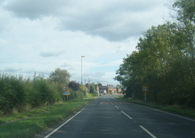
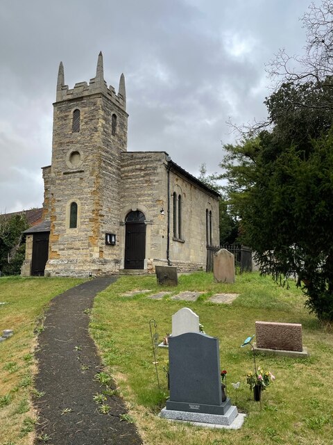
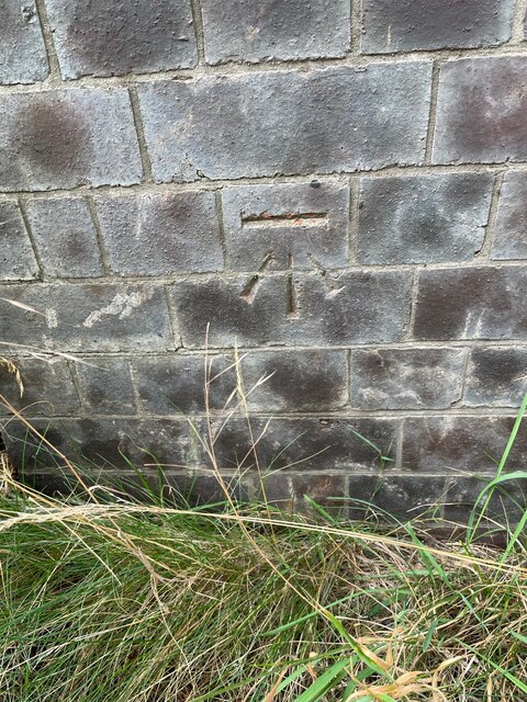
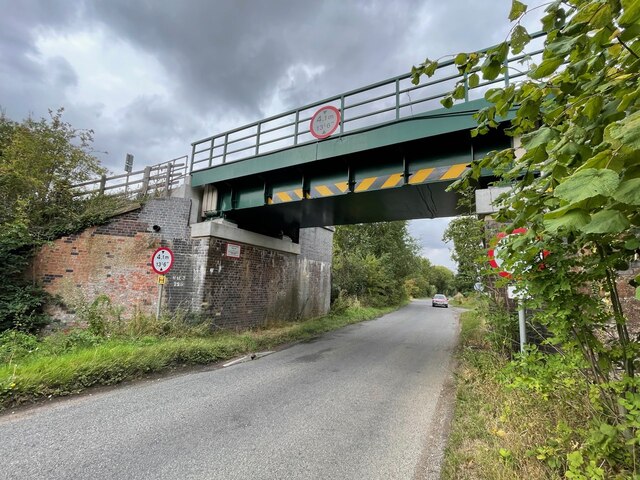
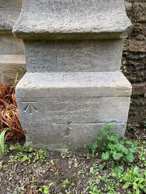
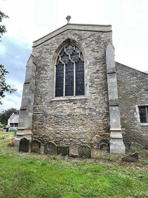
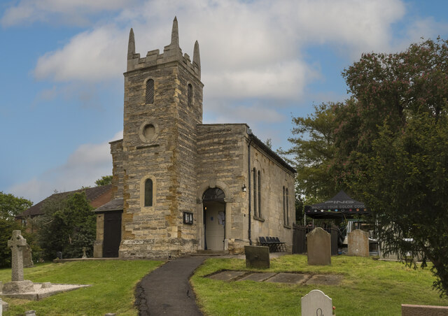
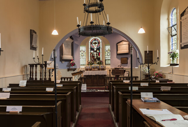
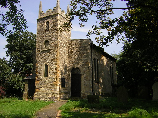
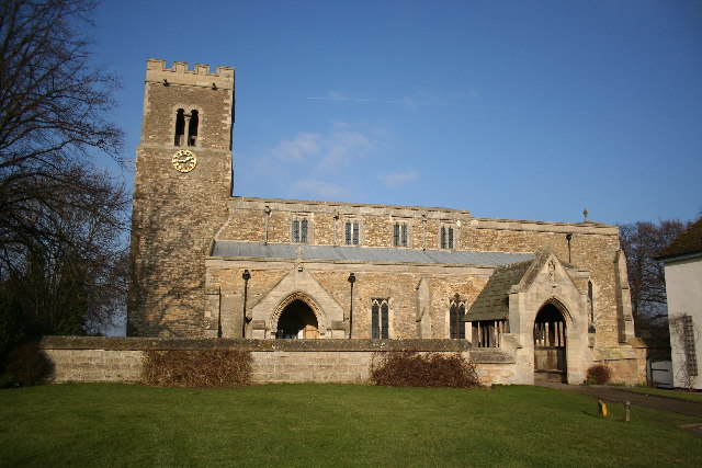
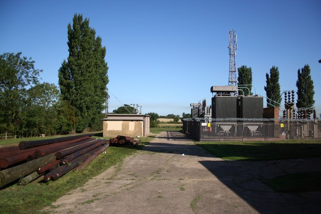
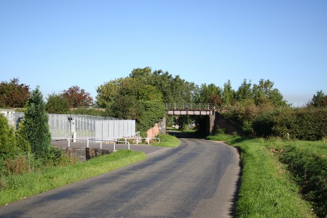
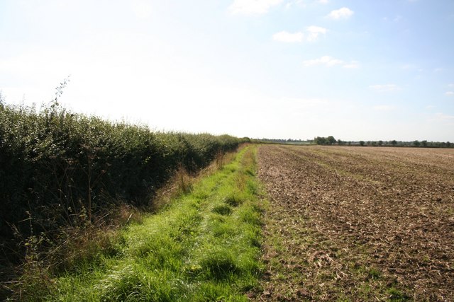
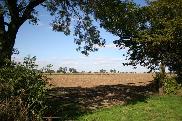
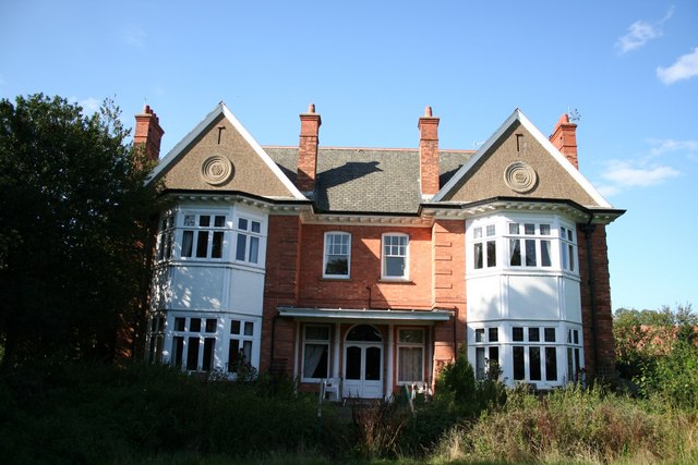
Aisby Images
Images are sourced within 2km of 53.426779/-0.690927 or Grid Reference SK8793. Thanks to Geograph Open Source API. All images are credited.


Aisby is located at Grid Ref: SK8793 (Lat: 53.426779, Lng: -0.690927)
Division: Parts of Lindsey
Administrative County: Lincolnshire
District: West Lindsey
Police Authority: Lincolnshire
What 3 Words
///violinist.broker.daylight. Near Blyton, Lincolnshire
Nearby Locations
Related Wikis

Aisby, West Lindsey
Aisby is a hamlet in the civil parish of Corringham, in the West Lindsey district of Lincolnshire, England. It is situated just over 1 mile (1.6 km) north...

Pilham
Pilham is a village and civil parish in the West Lindsey district of Lincolnshire, England. The population of the civil parish at the 2001 census was 76...
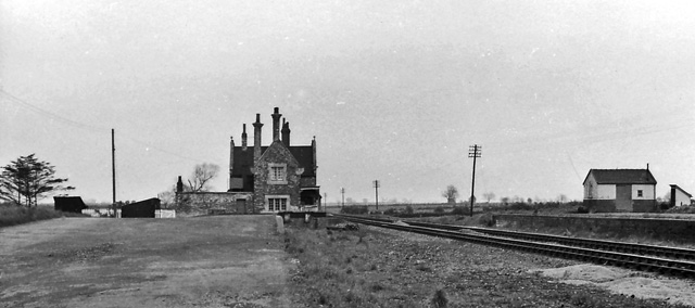
Blyton railway station
Blyton railway station is a former railway station in Blyton, Lincolnshire. It was on the (still open) line between Gainsborough and Grimsby. == References ==

Corringham, Lincolnshire
Corringham is a civil parish in the West Lindsey district of Lincolnshire, England. It is situated 5 km (3 mi) east of Gainsborough and 16 km (10 mi) south...

Blyton
Blyton is a village and civil parish within the West Lindsey district of Lincolnshire, England. It is situated approximately 4 miles (6 km) north-east...

RAF Blyton
Royal Air Force Blyton or more simply RAF Blyton is a former Royal Air Force satellite station located in Lincolnshire, 4.8 miles (7.7 km) north east of...
West Riding of Lindsey
The West Riding of Lindsey was a division of the Lindsey part of Lincolnshire in England, along with the North and South ridings. It consisted of the north...

Springthorpe
Springthorpe is a village and civil parish in the West Lindsey district of Lincolnshire, England. The population of the civil parish at the 2011 census...
Nearby Amenities
Located within 500m of 53.426779,-0.690927Have you been to Aisby?
Leave your review of Aisby below (or comments, questions and feedback).