Layham, Upper
Settlement in Suffolk Babergh
England
Layham, Upper
The requested URL returned error: 429 Too Many Requests
If you have any feedback on the listing, please let us know in the comments section below.
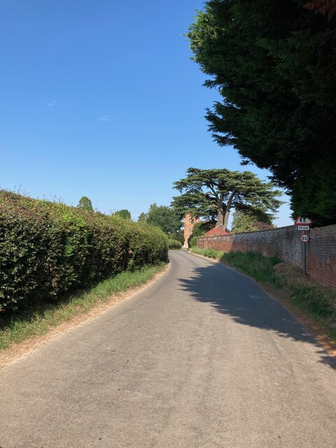
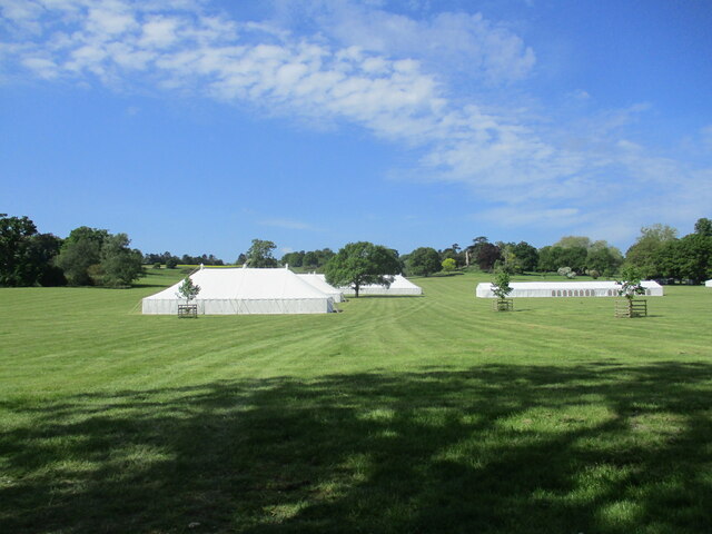
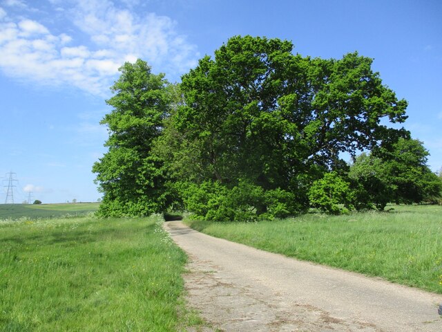
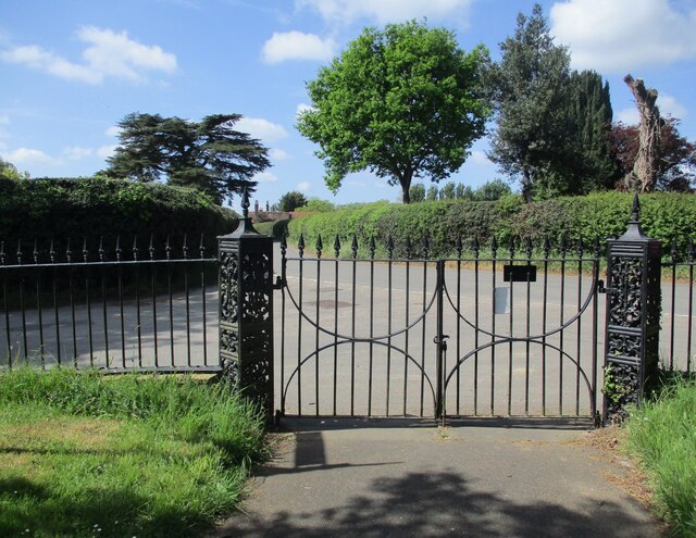
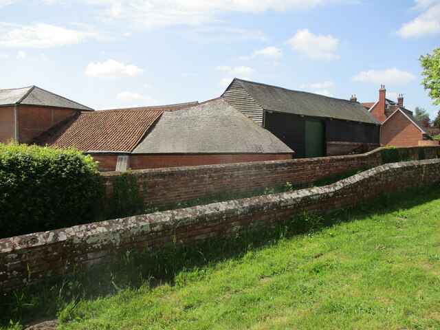
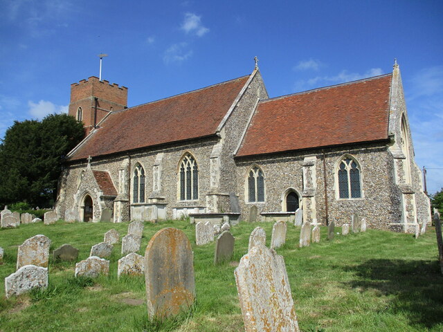
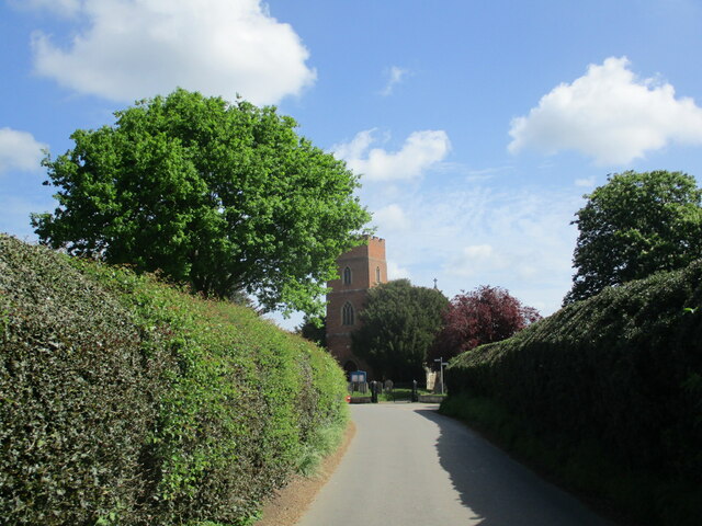
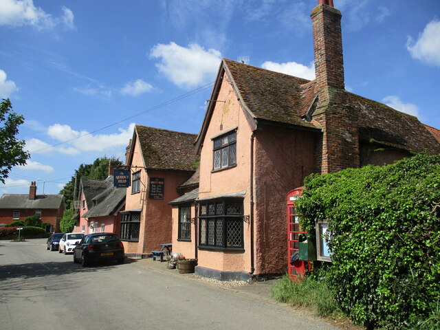
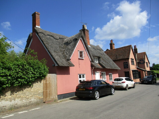
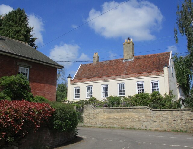
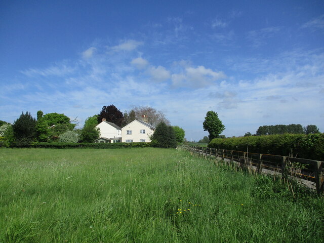
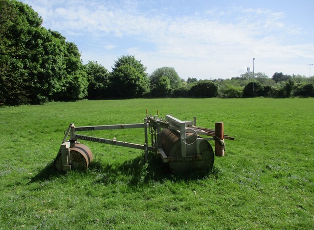
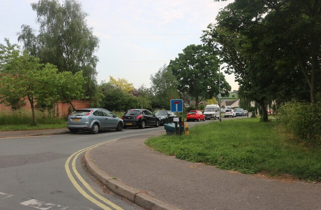
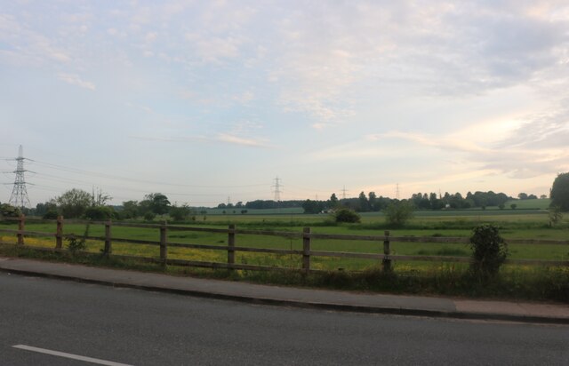
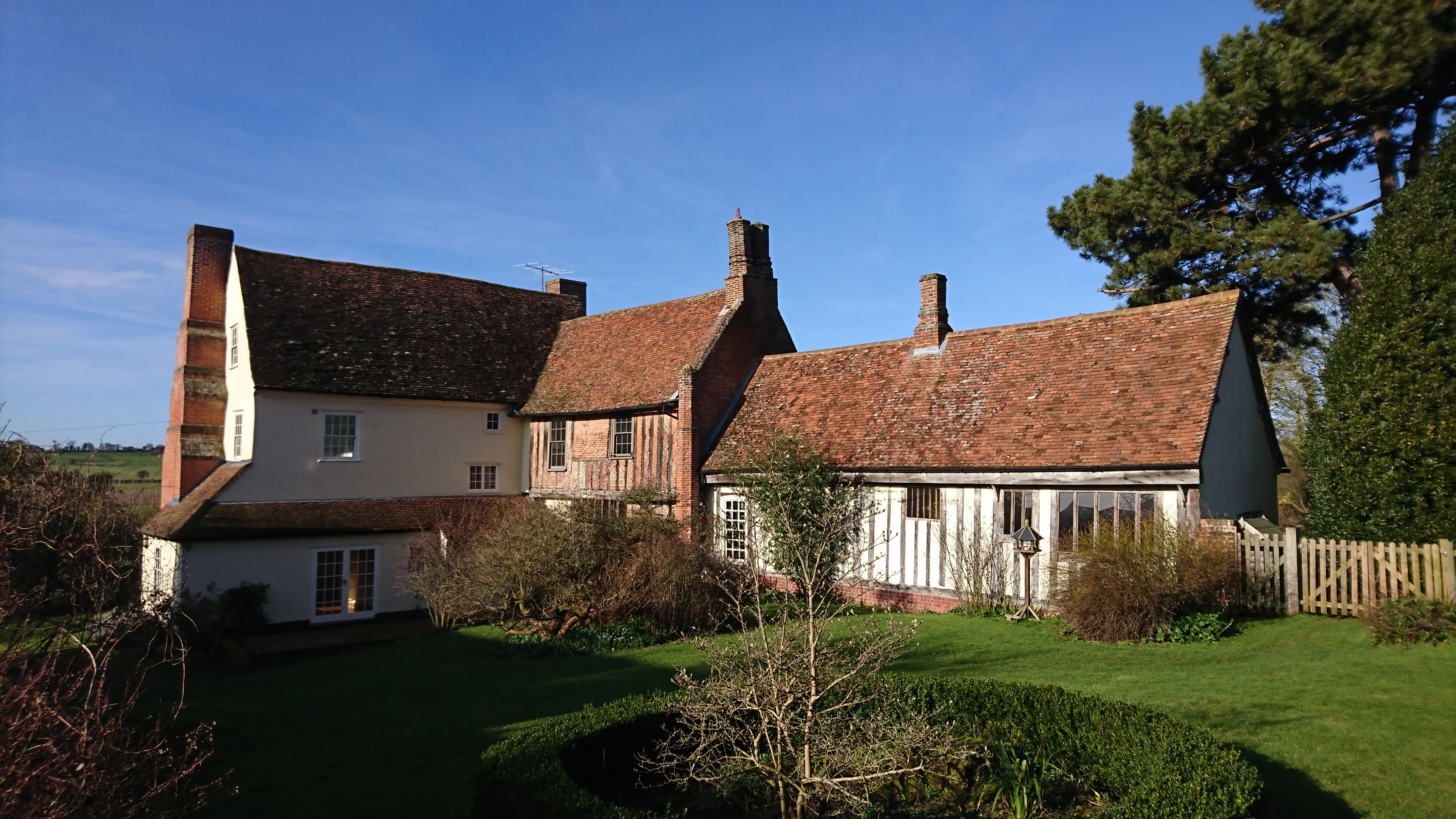
Layham, Upper Images
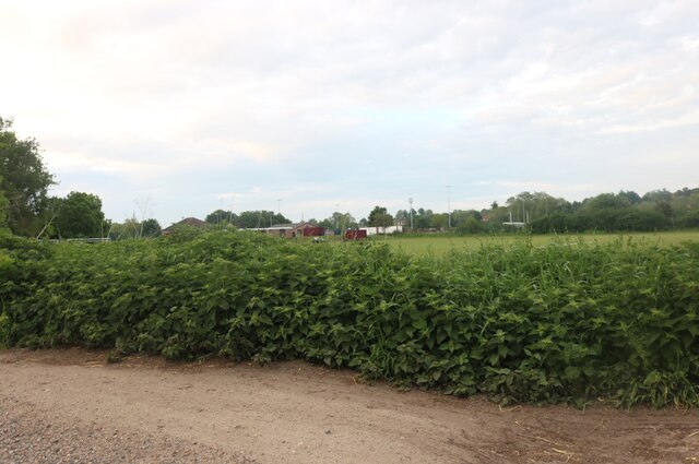
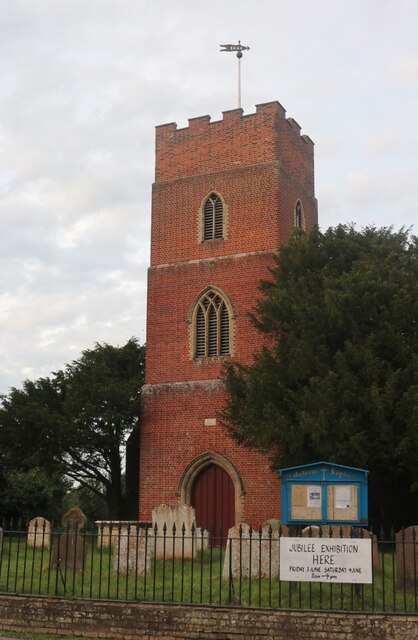
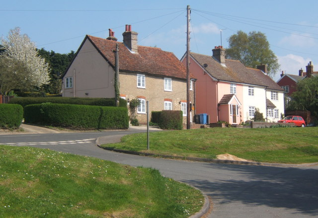
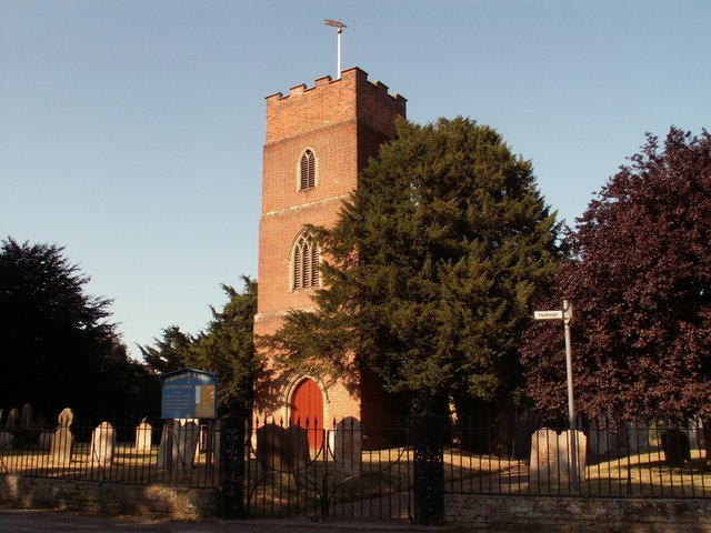
Images are sourced within 2km of 52.025773/0.96645 or Grid Reference TM0340. Thanks to Geograph Open Source API. All images are credited.
Layham, Upper is located at Grid Ref: TM0340 (Lat: 52.025773, Lng: 0.96645)
Administrative County: Suffolk
District: Babergh
Police Authority: Suffolk
What 3 Words
///signature.sock.skinny. Near Hadleigh, Suffolk
Nearby Locations
Related Wikis
Upper Layham
Upper Layham is a village on the B1070 road, in the civil parish of Layham, in the Babergh district, in the county of Suffolk, England. Upper Layham has...
Layham
Layham is a small village and a civil parish in southern Suffolk, England, situated between the town of Hadleigh and the neighbouring village of Raydon...
Lower Layham
Lower Layham is a small village in the civil parish of Layham, in the Babergh district, in the county of Suffolk, England. The village contains St.Andrew...
Benton End
Benton End is a Grade II* listed sixteenth-century house located on the outskirts of the market town of Hadleigh in Suffolk, England. From 1939 to 1982...
Nearby Amenities
Located within 500m of 52.025773,0.96645Have you been to Layham, Upper?
Leave your review of Layham, Upper below (or comments, questions and feedback).