Bowhouse
Settlement in Stirlingshire
Scotland
Bowhouse
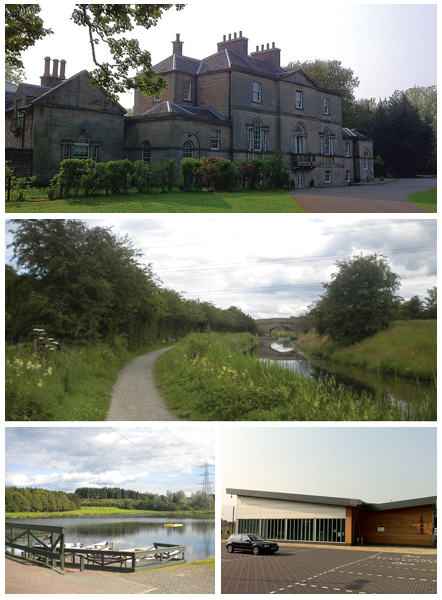
Bowhouse is a small rural settlement located in the county of Stirlingshire, Scotland. Situated approximately 7 miles northwest of the town of Stirling, the village is nestled amidst the picturesque countryside, surrounded by rolling hills and farmland.
Known for its tranquil setting and natural beauty, Bowhouse is a charming and close-knit community. The village primarily consists of a collection of traditional stone-built houses and cottages, showcasing the architectural heritage of the region.
Despite its small size, Bowhouse offers a variety of amenities and attractions. The nearby Bowhouse Farm is a popular destination, offering visitors the opportunity to explore its sprawling grounds and enjoy scenic walks along the countryside. The farm also hosts regular events and workshops, allowing visitors to engage in farming activities and experience rural life firsthand.
The village is well-connected to the surrounding areas, with easy access to major roads and transportation links. This makes it an ideal base for those looking to explore the wider Stirlingshire region, with attractions such as Stirling Castle, the Wallace Monument, and Loch Lomond all within a short drive.
Bowhouse's rural location offers a peaceful and idyllic lifestyle, making it an attractive place for those seeking a retreat from the hustle and bustle of city living. With its close community, stunning scenery, and proximity to amenities and attractions, Bowhouse offers a unique and desirable place to call home.
If you have any feedback on the listing, please let us know in the comments section below.
Bowhouse Images
Images are sourced within 2km of 56.002377/-3.708562 or Grid Reference NS9380. Thanks to Geograph Open Source API. All images are credited.


Bowhouse is located at Grid Ref: NS9380 (Lat: 56.002377, Lng: -3.708562)
Unitary Authority: Falkirk
Police Authority: Forth Valley
What 3 Words
///overlaps.agents.toothpick. Near Polmont, Falkirk
Nearby Locations
Related Wikis

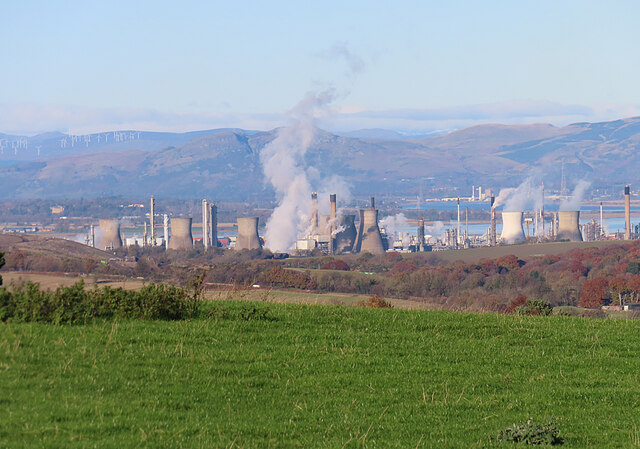
Grangemouth
Grangemouth (Scots: Grangemooth; Scottish Gaelic: Inbhir Ghrainnse, pronounced [ˈiɲɪɾʲ ˈɣɾaiɲʃə]) is a town in the Falkirk council area, Scotland. Historically...
Polmont
Polmont (Scottish Gaelic: Poll-Mhonadh) is a village in the Falkirk council area of Central Scotland. It lies towards the east of the town of Falkirk,...
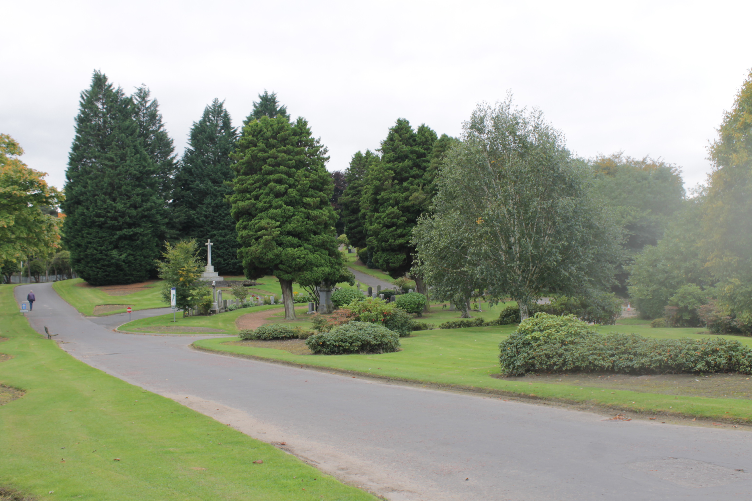
Grandsable Cemetery
Grandsable Cemetery (sometimes called Grangemouth Cemetery) lies east of Falkirk, between the A9 and A803 south of Grangemouth near Polmont. It lies on...

Mumrills
Mumrills was the site of the largest Roman fort on the Antonine Wall in Scotland. It is possible that Mumrills could exchange signals with Flavian Gask...
Nearby Amenities
Located within 500m of 56.002377,-3.708562Have you been to Bowhouse?
Leave your review of Bowhouse below (or comments, questions and feedback).