Upper Hulme
Settlement in Staffordshire Staffordshire Moorlands
England
Upper Hulme
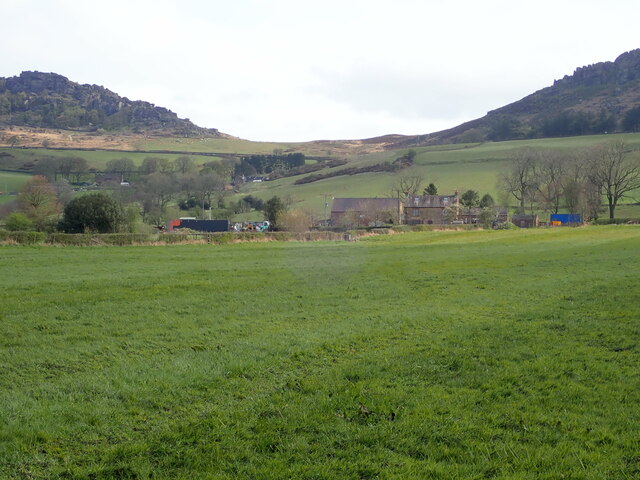
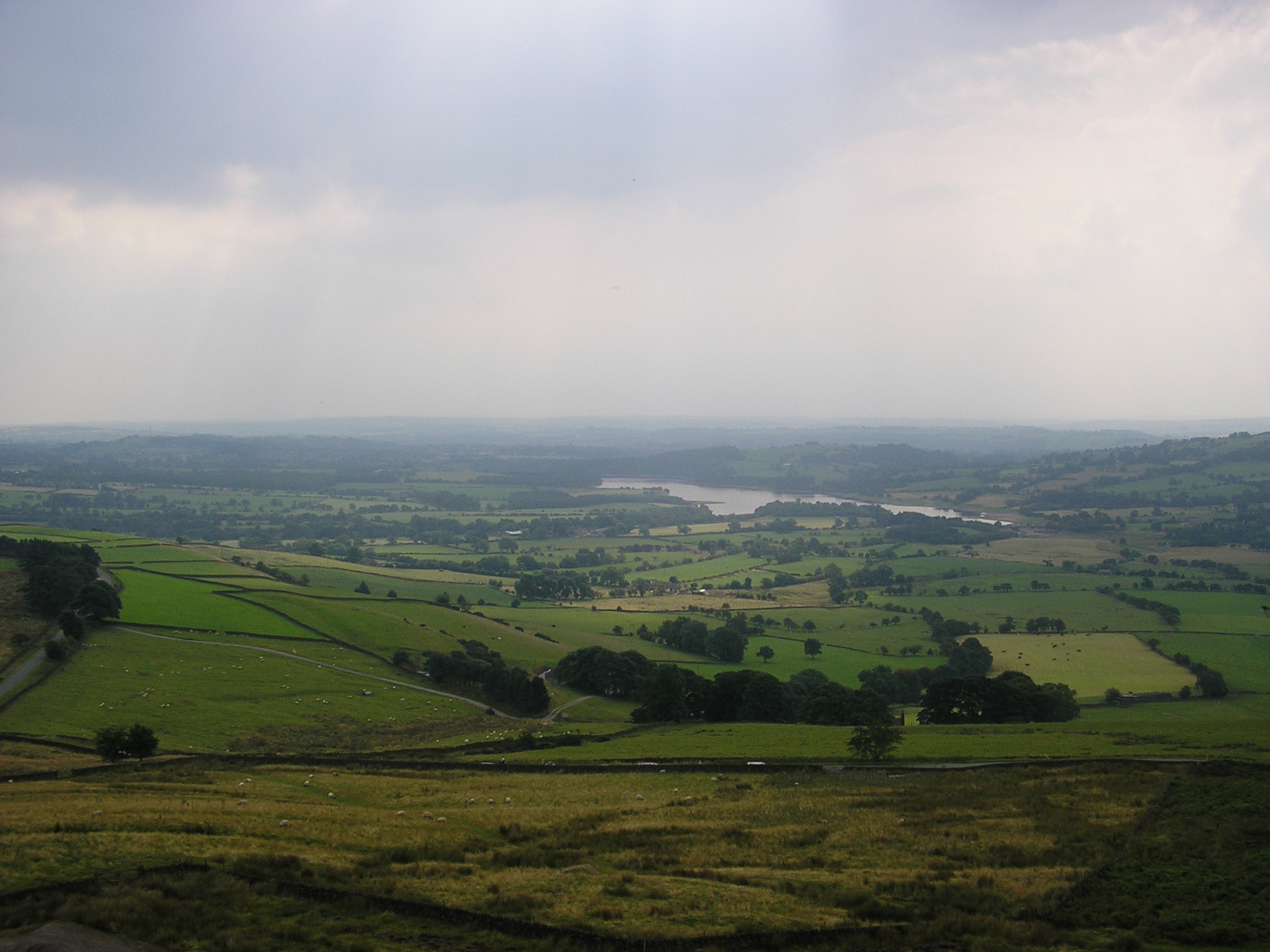
Upper Hulme is a small village located in the Staffordshire Moorlands district of Staffordshire, England. Situated within the Peak District National Park, the village is surrounded by breathtaking natural beauty, making it a popular destination for outdoor enthusiasts and nature lovers.
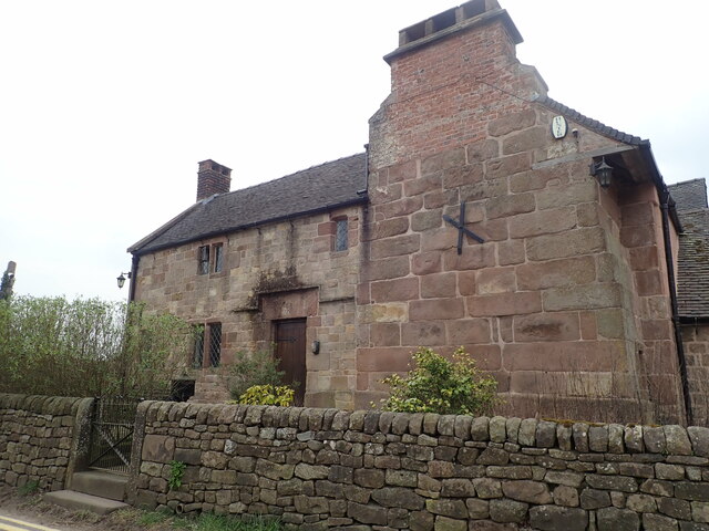
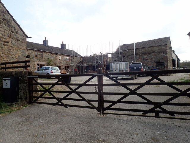
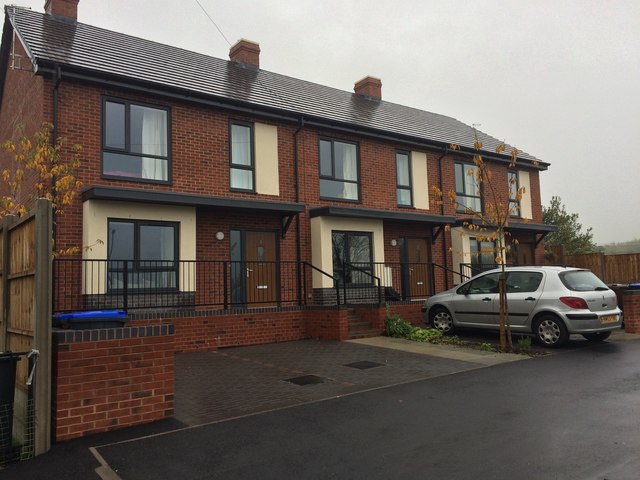
The village itself is characterized by its charming and picturesque stone cottages, which give it a quaint and traditional atmosphere. The community is tight-knit, with a population of approximately 200 residents. Despite its small size, Upper Hulme boasts a friendly and welcoming atmosphere, with locals known for their hospitality.
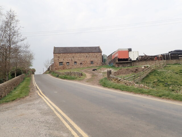
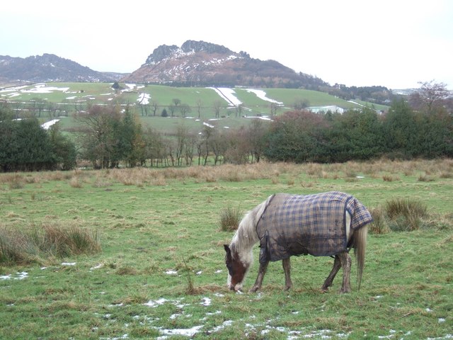
The village is situated close to several attractions and landmarks, including the famous Roaches rock formation, which offers stunning panoramic views of the surrounding countryside. The area is also known for its extensive network of hiking trails, providing opportunities for outdoor activities such as walking, cycling, and climbing.
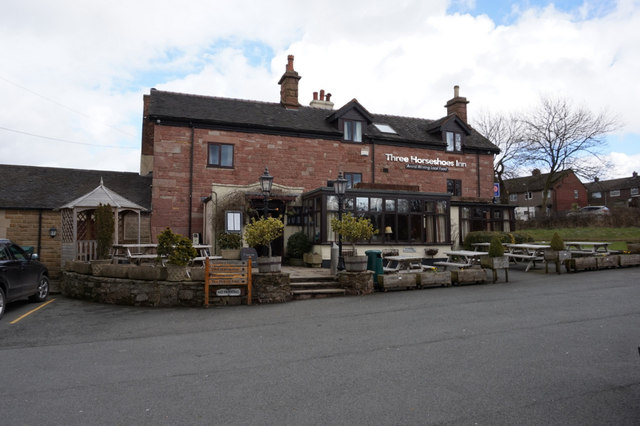
In terms of amenities, Upper Hulme is home to a small but well-stocked village shop, providing residents with essential groceries and supplies. The nearest town, Leek, is just a short drive away and offers a wider range of amenities, including supermarkets, restaurants, and healthcare facilities.
Overall, Upper Hulme is a tranquil and idyllic village nestled within the picturesque Staffordshire Moorlands. Its natural beauty, friendly community, and close proximity to outdoor attractions make it an appealing destination for those seeking a peaceful retreat or an active outdoor adventure.
If you have any feedback on the listing, please let us know in the comments section below.
Upper Hulme Images
Images are sourced within 2km of 53.149723/-1.984267 or Grid Reference SK0161. Thanks to Geograph Open Source API. All images are credited.


Upper Hulme is located at Grid Ref: SK0161 (Lat: 53.149723, Lng: -1.984267)
Administrative County: Staffordshire
District: Staffordshire Moorlands
Police Authority: Staffordshire
What 3 Words
///rainbow.consoled.mended. Near Leek, Staffordshire
Nearby Locations
Related Wikis
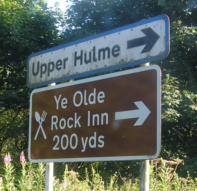
Upper Hulme
Upper Hulme is a hamlet in North Staffordshire, between the historic market town of Leek and the spa town of Buxton. It is clustered around a redundant...

Leekfrith
Leekfrith is a civil parish in the Staffordshire Moorlands, in Staffordshire, England, north of the town of Leek. The population of the civil parish at...
Meerbrook
Meerbrook (grid reference SJ989609) is a small village in North Staffordshire, on the River Churnet at the edge of the Peak District National Park. It...
Tittesworth reservoir
Tittesworth Reservoir is a water storage reservoir near Leek, Staffordshire, England, fed by the River Churnet. The reservoir and associated water treatment...
Nearby Amenities
Located within 500m of 53.149723,-1.984267Have you been to Upper Hulme?
Leave your review of Upper Hulme below (or comments, questions and feedback).