Hellesdon, Upper
Settlement in Norfolk Norwich
England
Hellesdon, Upper
Hellesdon, Upper, Norfolk is a small village located in the eastern part of England. Situated in the county of Norfolk, it lies approximately four miles northwest of the city of Norwich. The village is part of the larger civil parish of Hellesdon, which also includes Hellesdon, Lower.
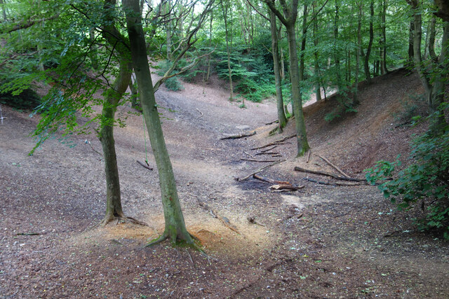
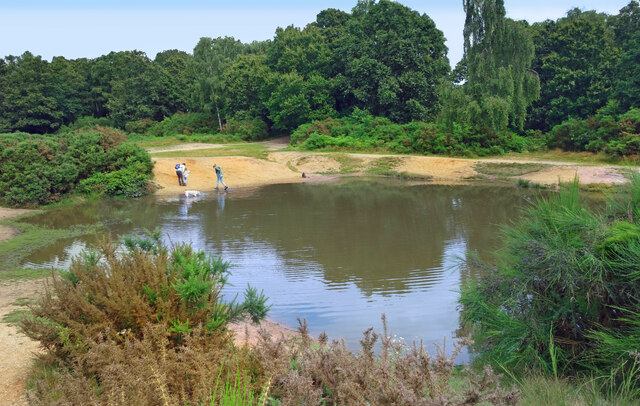
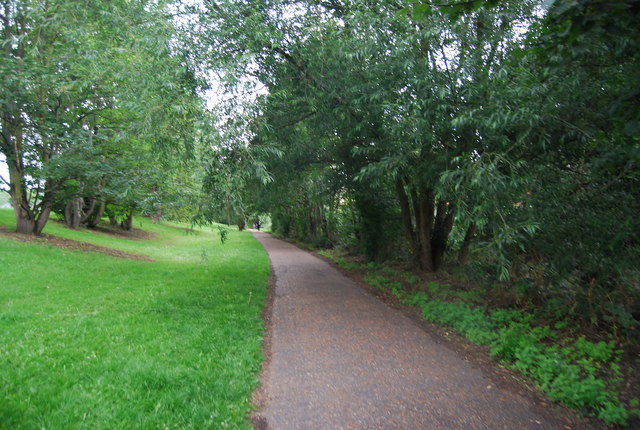
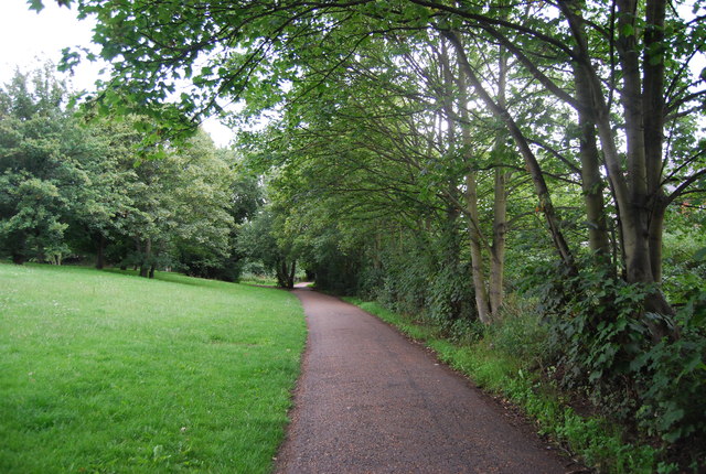
Hellesdon, Upper is a predominantly residential area characterized by its peaceful atmosphere and scenic surroundings. The village is surrounded by beautiful countryside, with farmland and fields stretching out in all directions. The River Wensum flows nearby, adding to the charm of the area.
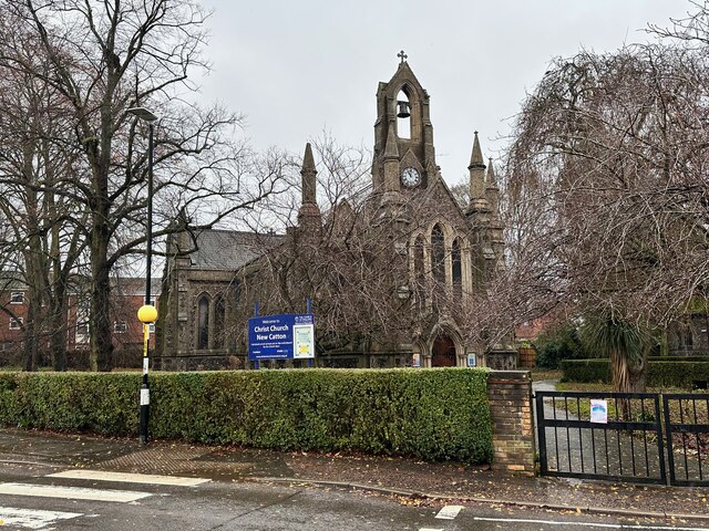
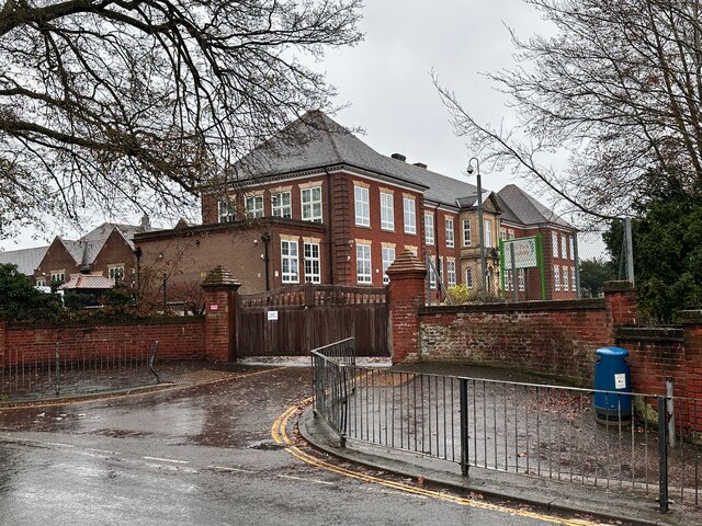
The village is home to a close-knit community, with a population of around 1,500 residents. The local amenities include a church, a primary school, and a village hall, which serves as a hub for social events and community gatherings. There are also a few small businesses and shops in the area, providing basic services to the residents.
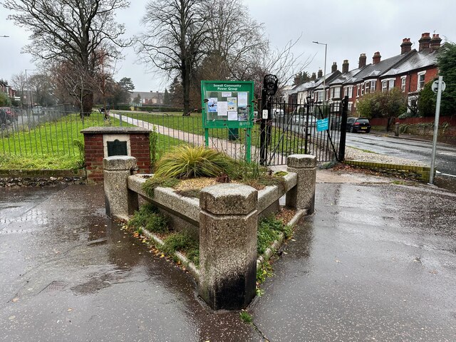
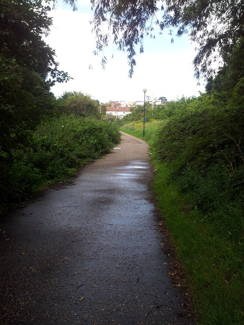
Hellesdon, Upper offers a range of recreational activities to its residents. The village is surrounded by picturesque walking trails and cycling routes, allowing locals to explore and enjoy the stunning countryside. The nearby Wensum Valley also offers opportunities for fishing and boating.
Overall, Hellesdon, Upper, Norfolk is a peaceful and picturesque village, offering a close-knit community and beautiful countryside surroundings. It provides an idyllic setting for those seeking a tranquil place to call home, while still benefiting from close proximity to the amenities and services of nearby Norwich.
If you have any feedback on the listing, please let us know in the comments section below.
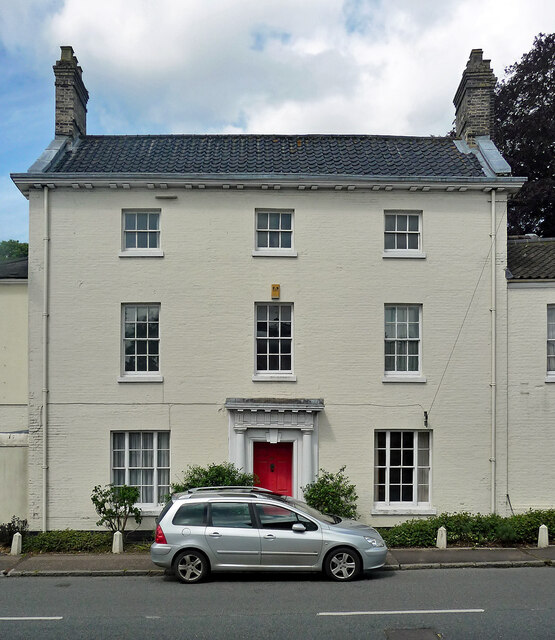
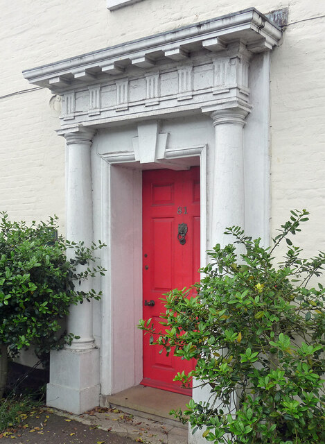
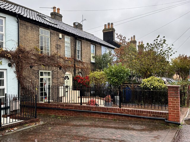
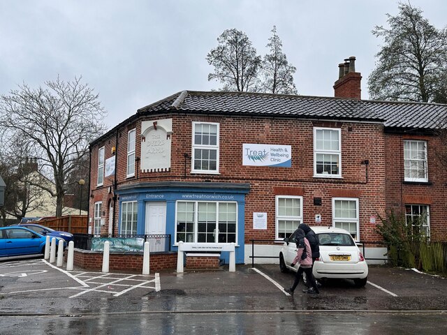
Hellesdon, Upper Images
Images are sourced within 2km of 52.649825/1.282712 or Grid Reference TG2210. Thanks to Geograph Open Source API. All images are credited.


Hellesdon, Upper is located at Grid Ref: TG2210 (Lat: 52.649825, Lng: 1.282712)
Administrative County: Norfolk
District: Norwich
Police Authority: Norfolk
What 3 Words
///stuck.harp.vague. Near Norwich, Norfolk
Nearby Locations
Related Wikis

Mile Cross Estate, Norwich
Mile Cross Estate is a council estate in Norwich, England. The population of the Mile Cross Ward in Norwich at the 2011 census was 10,655. == Location... ==

Catton Grove Chalk Pit
Catton Grove Chalk Pit is a 0.6-hectare (1.5-acre) geological Site of Special Scientific Interest on the northern outskirts of Norwich in Norfolk. It is...
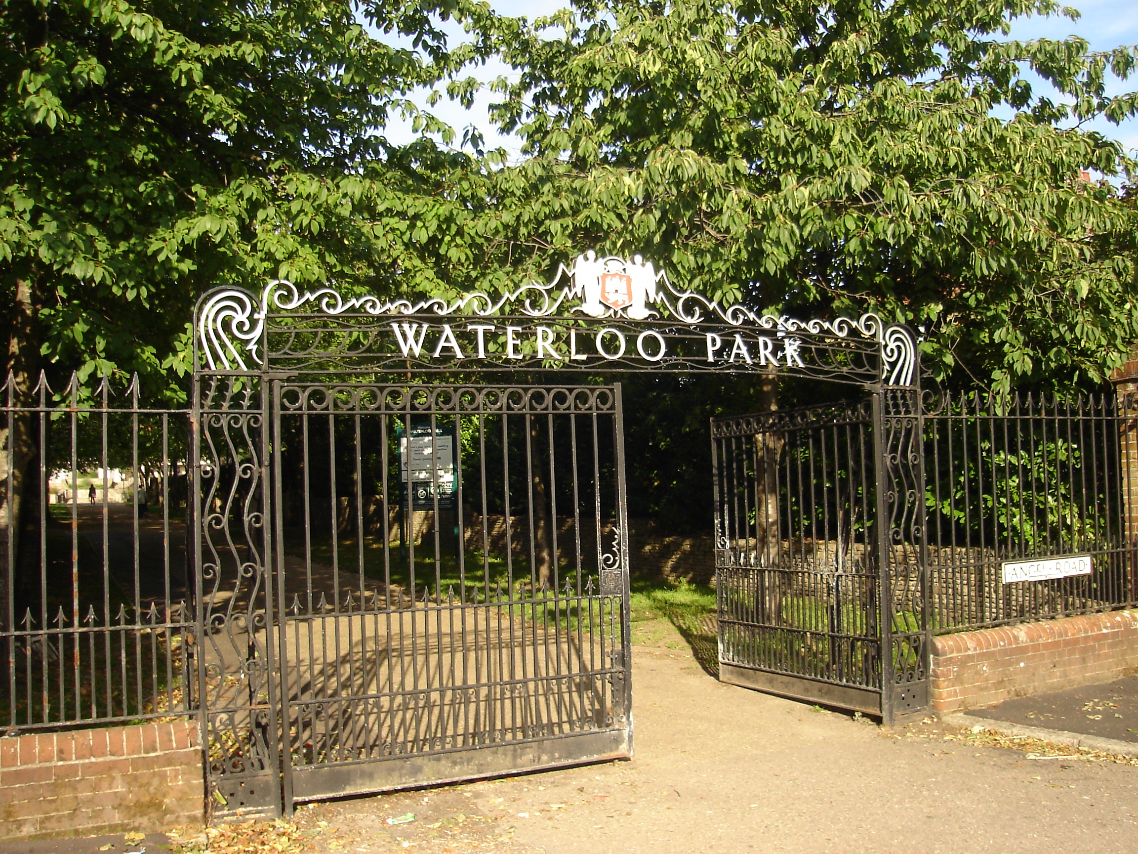
Waterloo Park, Norwich
Waterloo Park is a Grade II* listed public park in Norwich, Norfolk. It forms one of a set of public parks established in Norwich in the 1930s by Captain...

Sewell Park Academy
Sewell Park Academy is a secondary school located on the north-eastern edge of the city of Norwich, Norfolk, England. == Admissions == It has approximately...

Sewell Park, Norwich
Sewell Park is a triangular park between Constitution Hill and St. Clement's Hill in Norwich, Norfolk, England. The park was given to the Norwich Corporation...

Norwich North (UK Parliament constituency)
Norwich North is a constituency represented in the House of Commons of the UK Parliament since 2009 by Conservative Chloe Smith.The constituency includes...
Fat Cat Brewery
The Fat Cat Brewery is a brewery located at the Fat Cat Brewery Tap, Lawson Road, Norwich in the English county of Norfolk. The brewery is owned by Colin...
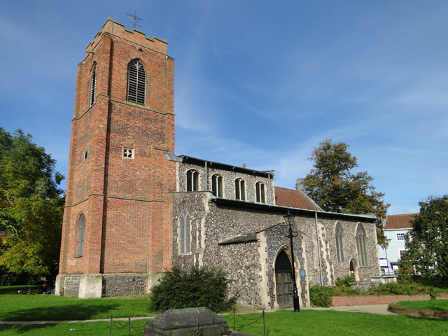
St Augustine's Church, Norwich
St Augustine's Church is a Anglican church building in the city of Norwich, Norfolk, England. It is recorded in the National Heritage List for England...
Nearby Amenities
Located within 500m of 52.649825,1.282712Have you been to Hellesdon, Upper?
Leave your review of Hellesdon, Upper below (or comments, questions and feedback).