Hayesden, Upper

Settlement in Kent Tunbridge Wells

England

Hayesden, Upper

Cottage, Green View Avenue
Cottage, Green View Avenue Credit: N Chadwick

Hayesden is a small village situated in the Upper district of Kent, England. It is located approximately 40 miles southeast of London and lies within the Tonbridge and Malling borough. The village is surrounded by picturesque countryside and boasts a tranquil and peaceful atmosphere.

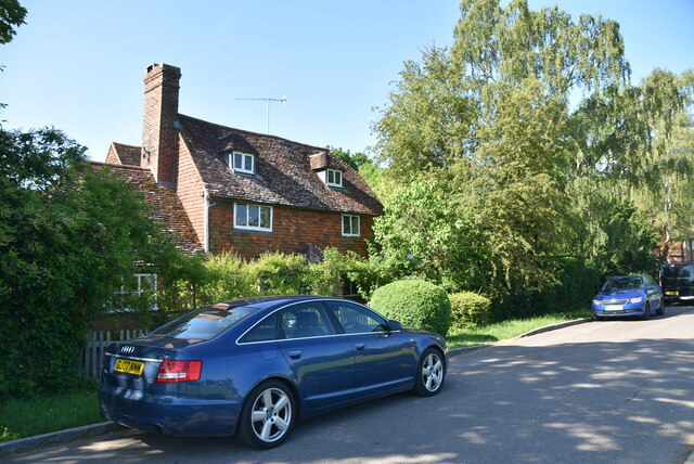
Hayesden is known for its quaint and charming character, with a scattering of traditional cottages and historic buildings that add to its overall appeal. The village is home to a close-knit community, fostering a strong sense of belonging and unity among its residents.

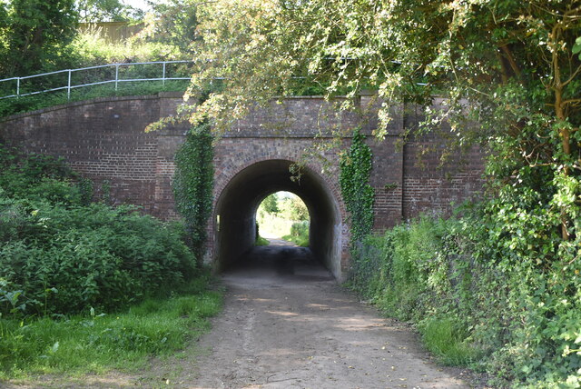
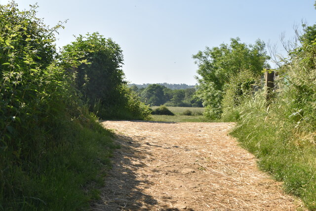
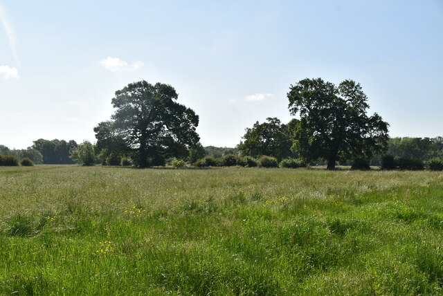
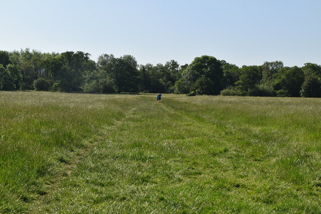
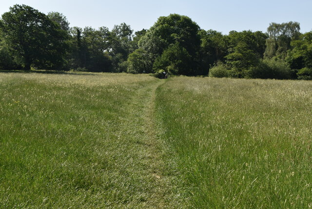
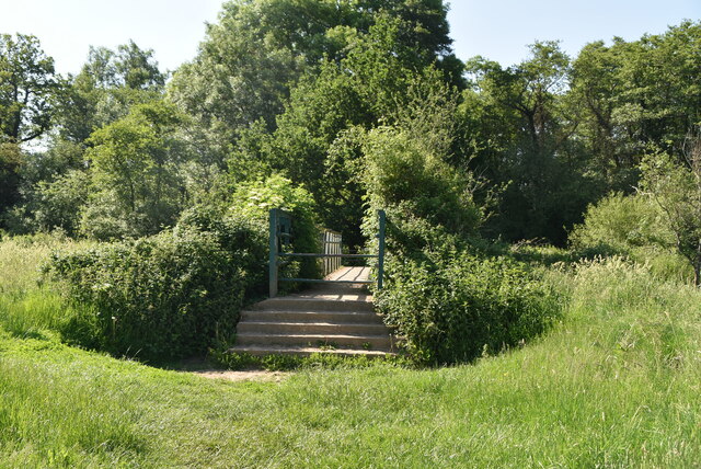
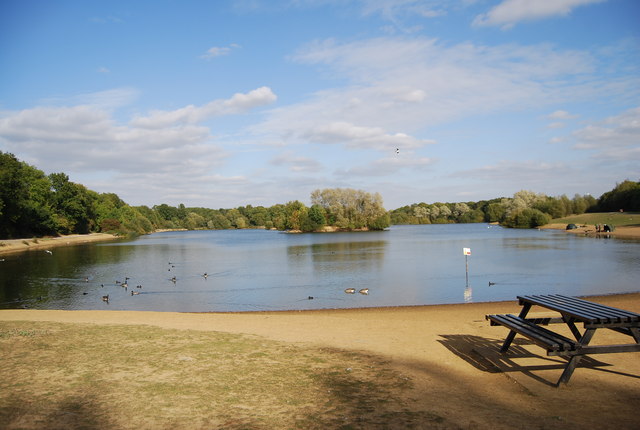
The surrounding natural beauty of Hayesden offers various opportunities for outdoor activities and exploration. The nearby Hayesden Country Park is a popular destination for locals and visitors alike, providing ample space for walking, picnicking, and enjoying nature. The park features a large lake that attracts wildlife and provides a serene setting for relaxation.

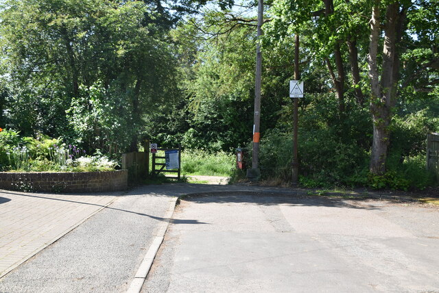
Despite its rural setting, Hayesden benefits from good transportation links. The village is well-connected to nearby towns and cities, with regular bus services and easy access to major road networks. This allows residents to enjoy the peace and tranquility of village life while still having convenient access to urban amenities and employment opportunities.

Overall, Hayesden is a charming village in the heart of the Kent countryside. Its idyllic surroundings, strong community spirit, and convenient location make it an attractive place to live for those seeking a peaceful and picturesque setting.

If you have any feedback on the listing, please let us know in the comments section below.

Hayesden, Upper Images

Images are sourced within 2km of 51.17967/0.229659 or Grid Reference TQ5544. Thanks to Geograph Open Source API. All images are credited.

Cottage, Green View Avenue
End of Green View Avenue
Railway bridge
Railway bridge
Footpath crosses flood defence embankment
Floodplain of River Medway
Footpath crossing floodplain
Footpath across meadow
Footbridge
Footbridge
River Medway The River Medway is 70 miles long and flows almost  entirely within Kent. It rises in Ashdown Forest and joins the Thames near Chatham. Apart from the Thames it has the largest catchment area in southern England. The river is navigable as far as Tonbridge by large craft and as far as Penshurst by small craft. There are 11 locks on the river, between Allington and Tonbridge. The river is tidal to Allington Lock. The River divides Kent in two, those born west of the river are known as Kentish Men, whilst those born east of the river are Men of Kent. The river was used as a line of defence against possible invasion during WWII.
River Medway
The River Medway is 70 miles long and flows almost entirely within Kent. It rises in Ashdown Forest and joins the Thames near Chatham. Apart from the Thames it has the largest catchment area in southern England. The river is navigable as far as Tonbridge by large craft and as far as Penshurst by small craft. There are 11 locks on the river, between Allington and Tonbridge. The river is tidal to Allington Lock. The River divides Kent in two, those born west of the river are known as Kentish Men, whilst those born east of the river are Men of Kent. The river was used as a line of defence against possible invasion during WWII.
River Medway
River Medway
Eden Valley Walk A 15 mile walk in the valley of the River Eden, Kent. Opened in 1991. It starts at Haxted Mill, where it leaves The Vanguard Way, and ends in Tonbridge, where it links with the Medway Valley Walk. It passes Hever Castle and Tonbridge Castle.
Website: <span class="nowrap"><a title="http://www.edenbridgetown.com/maps/eden_valley_walk.shtml" rel="nofollow ugc noopener" href="http://www.edenbridgetown.com/maps/eden_valley_walk.shtml">Link</a><img style="margin-left:2px;" alt="External link" title="External link - shift click to open in new window" src="https://s1.geograph.org.uk/img/external.png" width="10" height="10"/></span>
Eden Valley Walk
A 15 mile walk in the valley of the River Eden, Kent. Opened in 1991. It starts at Haxted Mill, where it leaves The Vanguard Way, and ends in Tonbridge, where it links with the Medway Valley Walk. It passes Hever Castle and Tonbridge Castle. Website: LinkExternal link
Pillbox by River Medway In 1940 a network of defences was hastily built all over Britain to prevent an expected German invasion. The most common of these defences were called “pillboxes”, squat concrete forts that were sited at road junctions, canals and other strategic points.

With the passage of time it is estimated that fewer than 6,000 of a total of 28,000 pillboxes built still survive. They remain as permanent monuments and a silent tribute to the courage and tenacity of the British people during the dark days of 1940 when Britain stood alone against Nazi Germany.

More detail see <span class="nowrap"><a title="www.pillboxesuk.co.uk" rel="nofollow ugc noopener" href="http://www.pillboxesuk.co.uk">Link</a><img style="margin-left:2px;" alt="External link" title="External link - shift click to open in new window" src="https://s1.geograph.org.uk/img/external.png" width="10" height="10"/></span>
Pillbox by River Medway
In 1940 a network of defences was hastily built all over Britain to prevent an expected German invasion. The most common of these defences were called “pillboxes”, squat concrete forts that were sited at road junctions, canals and other strategic points. With the passage of time it is estimated that fewer than 6,000 of a total of 28,000 pillboxes built still survive. They remain as permanent monuments and a silent tribute to the courage and tenacity of the British people during the dark days of 1940 when Britain stood alone against Nazi Germany. More detail see LinkExternal link
Eden Valley Walk A 15 mile walk in the valley of the River Eden, Kent. Opened in 1991. It starts at Haxted Mill, where it leaves The Vanguard Way, and ends in Tonbridge, where it links with the Medway Valley Walk. It passes Hever Castle and Tonbridge Castle.
Website: <span class="nowrap"><a title="http://www.edenbridgetown.com/maps/eden_valley_walk.shtml" rel="nofollow ugc noopener" href="http://www.edenbridgetown.com/maps/eden_valley_walk.shtml">Link</a><img style="margin-left:2px;" alt="External link" title="External link - shift click to open in new window" src="https://s1.geograph.org.uk/img/external.png" width="10" height="10"/></span>
Eden Valley Walk
A 15 mile walk in the valley of the River Eden, Kent. Opened in 1991. It starts at Haxted Mill, where it leaves The Vanguard Way, and ends in Tonbridge, where it links with the Medway Valley Walk. It passes Hever Castle and Tonbridge Castle. Website: LinkExternal link
Ensfield Bridge
Ensfield Bridge
River Medway The River Medway is 70 miles long and flows almost  entirely within Kent. It rises in Ashdown Forest and joins the Thames near Chatham. Apart from the Thames it has the largest catchment area in southern England. The river is navigable as far as Tonbridge by large craft and as far as Penshurst by small craft. There are 11 locks on the river, between Allington and Tonbridge. The river is tidal to Allington Lock. The River divides Kent in two, those born west of the river are known as Kentish Men, whilst those born east of the river are Men of Kent. The river was used as a line of defence against possible invasion during WWII.
River Medway
The River Medway is 70 miles long and flows almost entirely within Kent. It rises in Ashdown Forest and joins the Thames near Chatham. Apart from the Thames it has the largest catchment area in southern England. The river is navigable as far as Tonbridge by large craft and as far as Penshurst by small craft. There are 11 locks on the river, between Allington and Tonbridge. The river is tidal to Allington Lock. The River divides Kent in two, those born west of the river are known as Kentish Men, whilst those born east of the river are Men of Kent. The river was used as a line of defence against possible invasion during WWII.
Ensfield Bridge
Ensfield Bridge
Show me another place!

Hayesden, Upper is located at Grid Ref: TQ5544 (Lat: 51.17967, Lng: 0.229659)

Administrative County: Kent

District: Tunbridge Wells

Police Authority: Kent

What 3 Words

///sunk.deputy.wiping. Near Speldhurst, Kent

Related Wikis

Bidborough Windmill

Bidborough Mill is a Grade II listed, house converted tower mill west of Bidborough, Kent, England. It is now incorporated into a housing development called...

Bidborough

Bidborough is a village and civil parish in the borough of Tunbridge Wells in Kent, England, north of Royal Tunbridge Wells and south of Tonbridge. According...

Haysden Country Park

Haysden Country Park is a 64-hectare (160-acre) country park and Local Nature Reserve on the outskirts of Tonbridge in Kent. It is owned by Tonbridge...

Lullingstone Country Park

Lullingstone Country Park is near Eynsford, in Kent, England. A former deer park of a large estate, it was later sold to become an open-space and woodland...

Leigh, Kent

Leigh , historically spelled Lyghe, is a village and a civil parish located in the Sevenoaks district of Kent, England. It is located six miles (10 km...

Leigh railway station

Leigh railway station is on the Redhill to Tonbridge Line and serves Leigh in Kent, England. It is 39 miles 56 chains (39.70 miles, 63.89 km) measured...

St Mary's Church, Leigh

St Mary's Church is a parish church in Leigh, Kent. The current church was originally completed in the 13th century, although a church is believed to have...

Leigh Academy Tonbridge

Leigh Academy Tonbridge, formerly Hayesbrook School, is a non-selective secondary school with academy status in Tonbridge, Kent, United Kingdom. It has...

Nearby Amenities

Located within 500m of 51.17967,0.229659
Barrier: kissing_gate
Bicycle: no
Foot: yes
Material: metal
Lat/Long: 51.1788782/0.2321881
Barrier: stile
Bicycle: no
Foot: yes
Material: wood
Stile: stepover
Lat/Long: 51.1800718/0.2307385
Barrier: stile
Bicycle: no
Foot: yes
Material: wood
Stile: stepover
Lat/Long: 51.1812656/0.2292246
The data included in this document is from www.openstreetmap.org. The data is made available under ODbL.

Have you been to Hayesden, Upper?

Leave your review of Hayesden, Upper below (or comments, questions and feedback).