Haselor, Upper
Settlement in Worcestershire Wychavon
England
Haselor, Upper
Haselor is a small village located in the Upper district of Worcestershire, England. Situated about 6 miles northeast of the town of Alcester, it lies within the picturesque Vale of Evesham. The village is nestled amidst rolling countryside, with the River Avon flowing nearby.
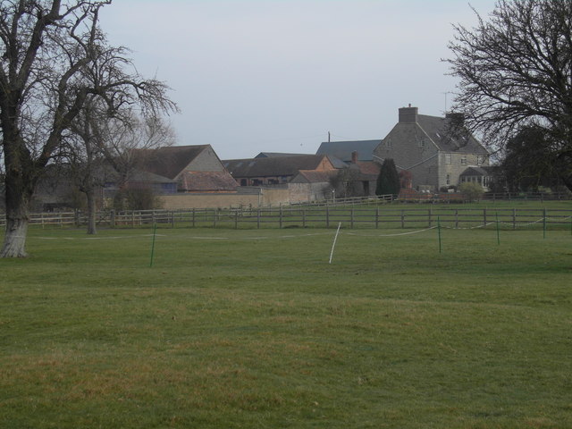
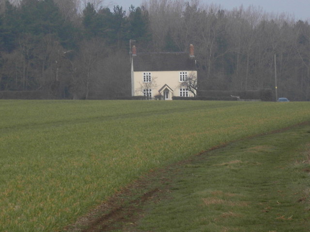
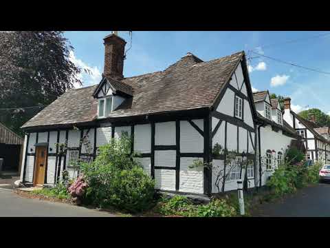
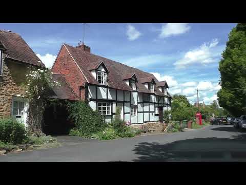
With a population of around 300 people, Haselor is a tight-knit community that retains its rural charm. The village boasts a rich history, dating back to medieval times when it was mentioned in the Domesday Book. It is characterized by a mix of traditional thatched cottages, timber-framed houses, and more modern dwellings.
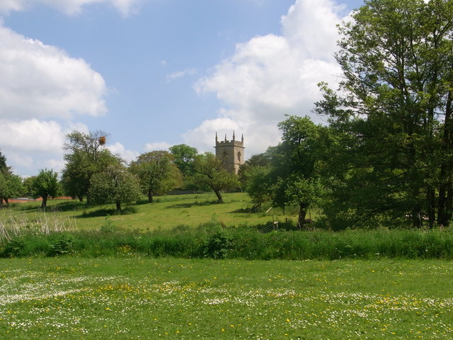
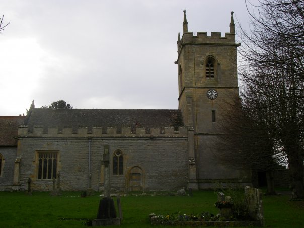
The heart of the village is home to St. Mary's Church, a beautiful Grade II listed building that dates back to the 13th century. The church features a striking tower and a picturesque churchyard, providing a peaceful setting for reflection. There are also several other historic buildings scattered throughout the village, including the Old Manor House and the Old Rectory.
Haselor offers limited amenities, with a village hall that serves as a hub for community activities and events. However, residents have easy access to nearby towns such as Alcester and Evesham, where they can find a wider range of services, shops, and leisure facilities.
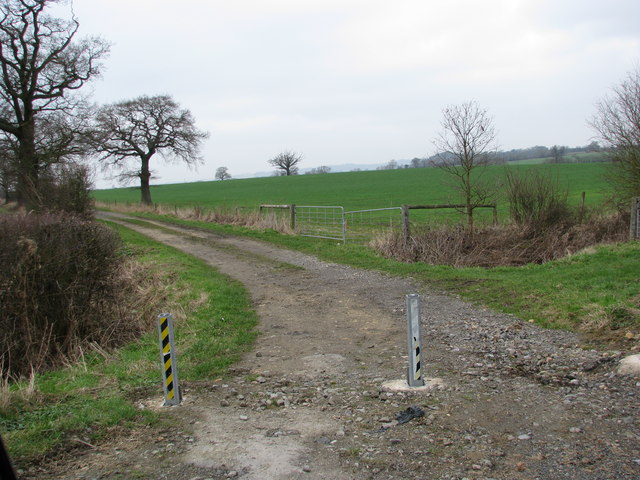
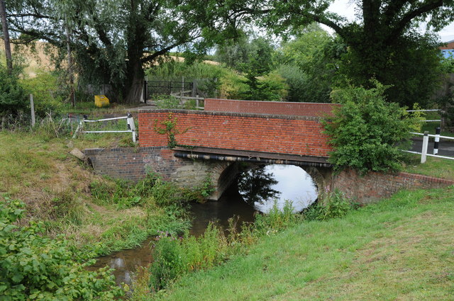
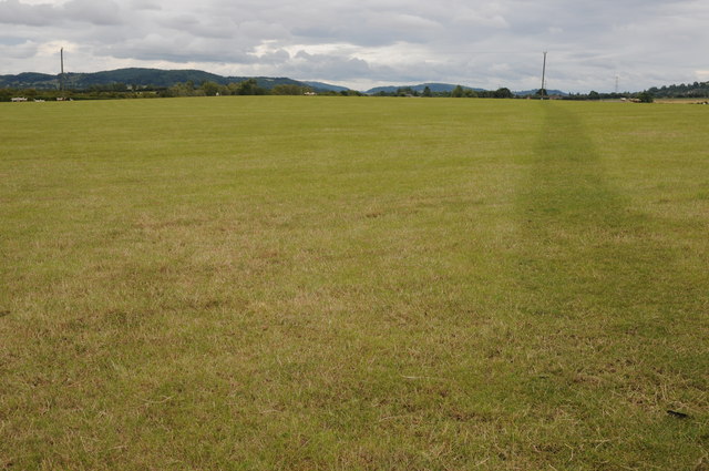
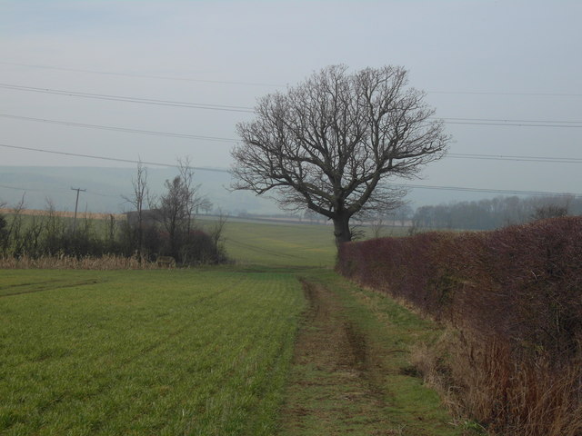
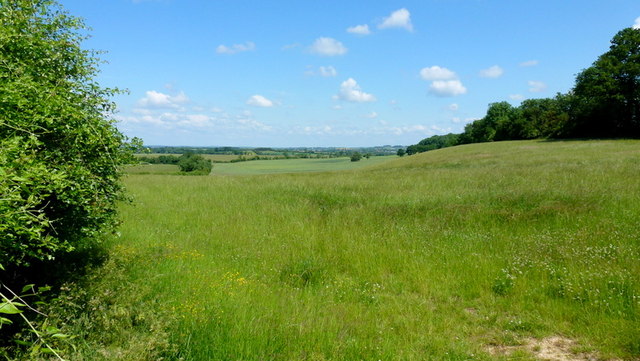
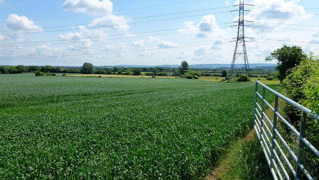
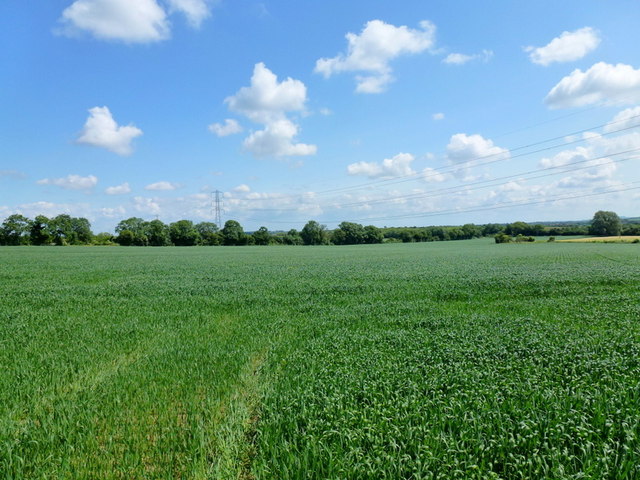
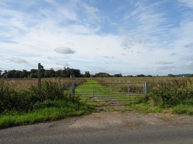
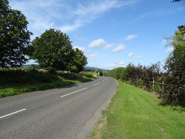
The village is surrounded by idyllic countryside, making it an attractive destination for nature lovers and outdoor enthusiasts. Numerous footpaths and bridleways crisscross the area, providing opportunities for walking, cycling, and horse riding. The landscape is dotted with fields, meadows, and woodlands, offering beautiful views and a peaceful atmosphere.
Overall, Haselor offers a tranquil and scenic place to live, retaining its rural character while being within reach of larger towns and amenities.
If you have any feedback on the listing, please let us know in the comments section below.
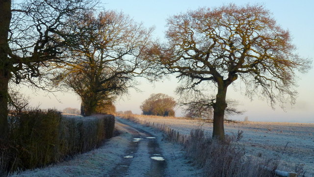
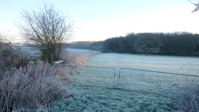
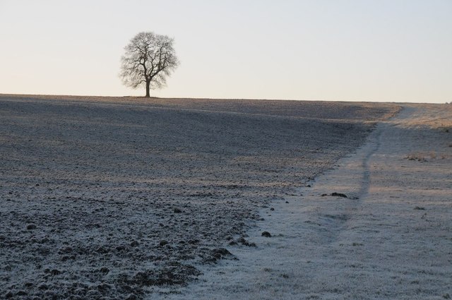
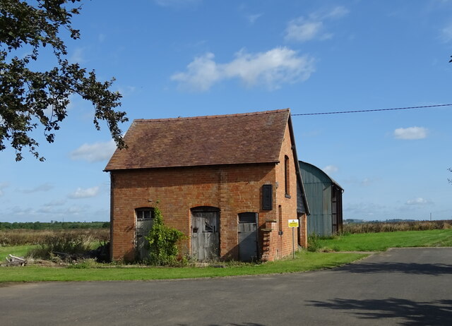
Haselor, Upper Images
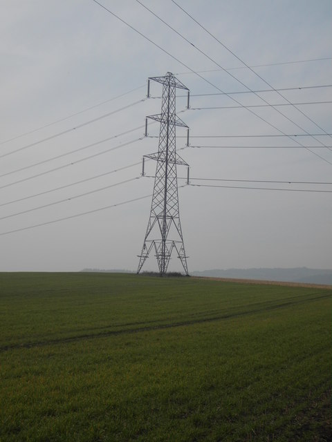
Images are sourced within 2km of 52.067371/-1.986825 or Grid Reference SP0141. Thanks to Geograph Open Source API. All images are credited.
Haselor, Upper is located at Grid Ref: SP0141 (Lat: 52.067371, Lng: -1.986825)
Administrative County: Worcestershire
District: Wychavon
Police Authority: West Mercia
What 3 Words
///zoos.cooked.purist. Near Evesham, Worcestershire
Nearby Locations
Related Wikis

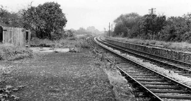
Hinton railway station (England)
Hinton railway station was a station on the Midland Railway between Tewkesbury and Evesham, England. It opened 1 October 1864 by the Midland Railway. The...

Kersoe
Kersoe is a hamlet in Worcestershire, England. It is at the foot of Bredon Hill an area of outstanding natural beauty.

Netherton, Worcestershire
Netherton is a hamlet with population of 50 living in 20 households. It is part of the civil parish of Elmley Castle, Bricklehampton & Netherton in...
Hinton on the Green
Hinton on the Green is a village and civil parish in the Wychavon district of Worcestershire in England. It is situated at the foot of Bredon Hill, about...

Evesham United F.C.
Evesham United Football Club are an English football club based in Evesham, Worcestershire. They reached the first round proper of the FA Cup for the first...

Hampton, Worcestershire
Hampton is an area of Evesham in Worcestershire, England having formerly been a separate village. It is linked to the nearby town of Evesham by the ancient...
Bengeworth railway station
Bengeworth railway station was a station on the Midland Railway between Ashchurch and Evesham. The precise location of the station was not in the Evesham...

Sedgeberrow
Sedgeberrow is a village and civil parish in the Wychavon district of Worcestershire, England, about 3 miles (4.8 km) south of Evesham. It stands beside...
Related Videos
Walking Around Elmley Castle Village & Church, Worcestershire, England 16th August 2023 #4k
An afternoon walk around Elmley Castle village & St Mary the Virgin Church, Worcestershire, England. #4kwalking #4kwalk ...

The Orchard Getaway - Off Grid Glamping in Worcestershire
Come and explore the Orchard Getaway, an off grid glamping site near Evesham in Worcestershire. With Mongolian and Kyrgyz ...

Ashton 88 v Harvington Harriers // Moving On Up? //
Thank you for visiting my channel. Please hit like and leave your comments below. Remember to subscribe for plenty more non ...
Driving On Main Street, Elmley Castle, Pershore, Worcestershire, UK 16th August 2023
An afternoon drive along Main Street, Elmley Castle, Pershore, Worcestershire, England Videoed on Wednesday, 16th August ...
Nearby Amenities
Located within 500m of 52.067371,-1.986825Have you been to Haselor, Upper?
Leave your review of Haselor, Upper below (or comments, questions and feedback).