Halliford, Upper
Settlement in Middlesex Spelthorne
England
Halliford, Upper
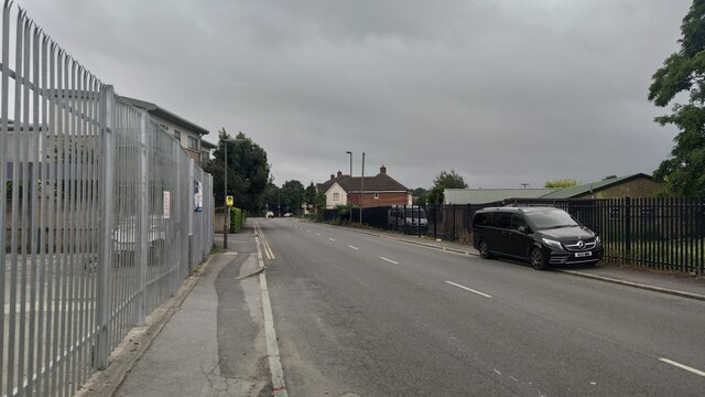
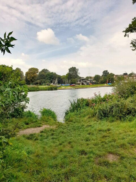
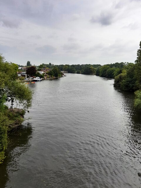
Halliford is a small village located in the county of Middlesex, in the southeastern part of England. It falls under the administrative jurisdiction of the district of Spelthorne. Situated on the banks of the River Thames, Halliford is known for its picturesque setting and tranquil atmosphere.
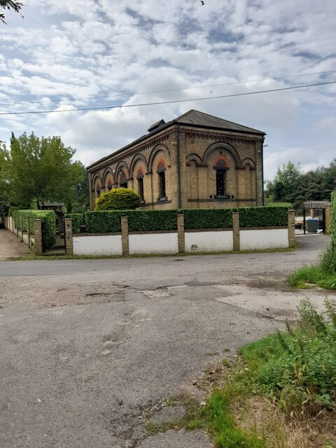
The village is primarily residential, with a population of around 4,000 residents. It offers a mix of housing options, ranging from quaint cottages to larger, more modern homes. The architecture in Halliford is diverse, reflecting the village's long history, with some buildings dating back several centuries.
Halliford is well-connected, with excellent transport links to nearby towns and cities. It is served by a railway station, providing access to London Waterloo in just under an hour. The village is also conveniently located near major road networks, including the M3 and M25 motorways.
The community in Halliford benefits from various amenities and facilities. The village has a primary school, catering to the educational needs of local children, as well as several parks and open spaces, providing opportunities for outdoor activities and recreation. In terms of amenities, there are a handful of local shops, restaurants, and pubs that cater to the residents' daily needs.
Overall, Halliford offers a charming and peaceful village lifestyle, with its idyllic riverside location, historical charm, and convenient transportation links. It is an attractive place for those seeking a balance between rural tranquility and easy access to urban amenities.
If you have any feedback on the listing, please let us know in the comments section below.
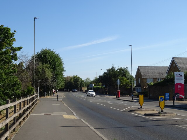
Halliford, Upper Images
Images are sourced within 2km of 51.401621/-0.436587 or Grid Reference TQ0868. Thanks to Geograph Open Source API. All images are credited.


Halliford, Upper is located at Grid Ref: TQ0868 (Lat: 51.401621, Lng: -0.436587)
Administrative County: Surrey
District: Spelthorne
Police Authority: Surrey
What 3 Words
///afford.aura.stump. Near Shepperton, Surrey
Nearby Locations
Related Wikis
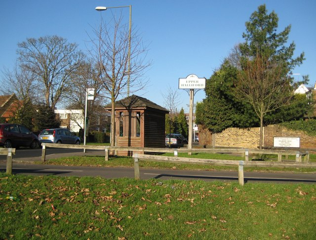
Upper Halliford
Upper Halliford is a small village in the Borough of Spelthorne, Surrey, England approximately 24 km (15 mi) west of central London. It is part of the...
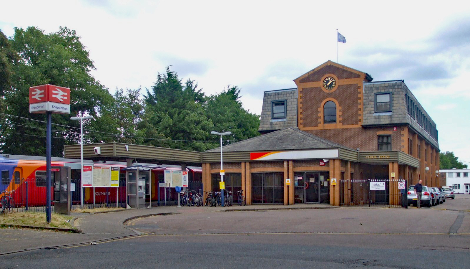
Shepperton railway station
Shepperton railway station is a station serving Shepperton, in Surrey, England. It is 18 miles 73 chains (30.4 km) down the line from London Waterloo....

Thamesmead School
Thamesmead School is a secondary academy school for boys and girls located in Shepperton, England. It is for students aged 11 to 16, and does not have...

Sunbury-on-Thames Urban District
Sunbury on Thames Urban District, also known as Sunbury Urban District, was a local government district from 1894 to 1974 comprising the town and parish...
Nearby Amenities
Located within 500m of 51.401621,-0.436587Have you been to Halliford, Upper?
Leave your review of Halliford, Upper below (or comments, questions and feedback).