Hale, Upper
Settlement in Surrey Waverley
England
Hale, Upper

Hale is a small village located in the county of Surrey, England. Situated in the Upper district of Surrey, it is surrounded by picturesque countryside and offers a tranquil and idyllic setting for residents and visitors alike. Hale is part of the larger area known as Farnham, which is approximately 3 miles to the south.
The village of Hale is known for its charming and traditional English architecture, with many historic buildings and cottages lining its streets. The village center features an ancient parish church, St. John the Evangelist, which dates back to the 12th century and stands as a testament to the area's rich history.
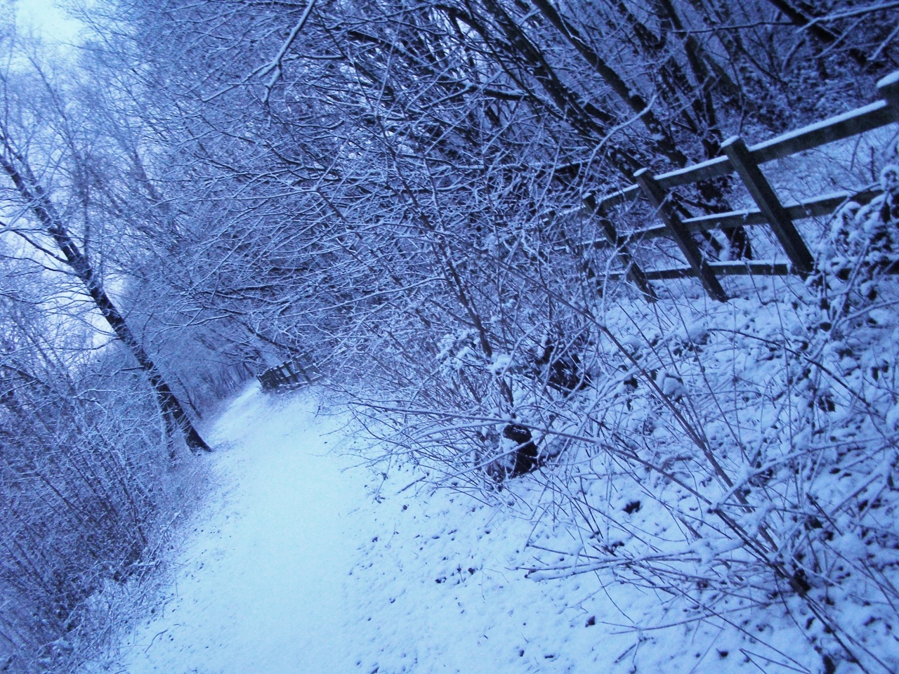
Nature enthusiasts will find Hale to be an ideal destination, as it is located close to an abundance of scenic walking trails and parks. The nearby Bourne Woods, a designated Area of Outstanding Natural Beauty, is a popular spot for hiking, wildlife spotting, and enjoying picnics amidst the stunning woodland scenery.
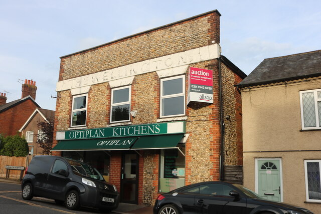
Despite its rural setting, Hale benefits from convenient access to amenities and services. The nearby town of Farnham provides a range of shops, restaurants, and leisure facilities, ensuring that residents have easy access to all necessary amenities.
In conclusion, Hale, Upper, Surrey offers a picturesque and peaceful village setting, with its historic architecture, beautiful countryside, and proximity to amenities making it an attractive place to live or visit for those seeking a traditional English village experience.
If you have any feedback on the listing, please let us know in the comments section below.
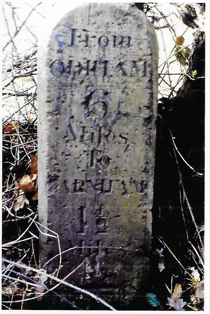
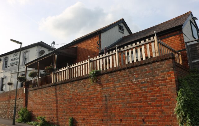
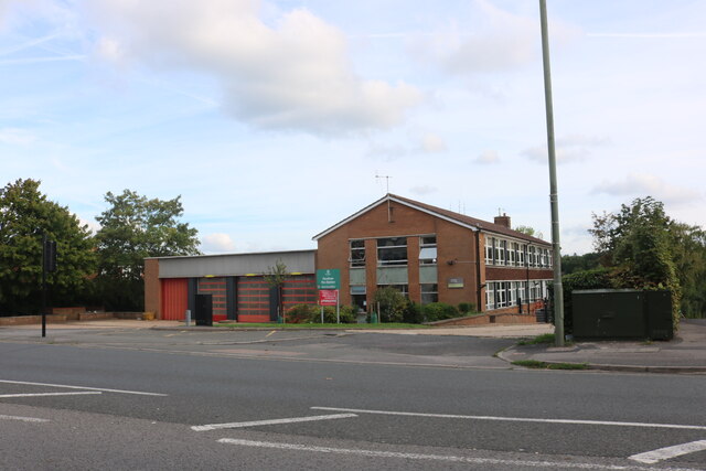
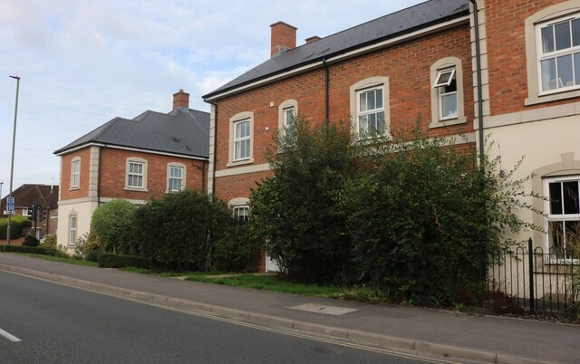
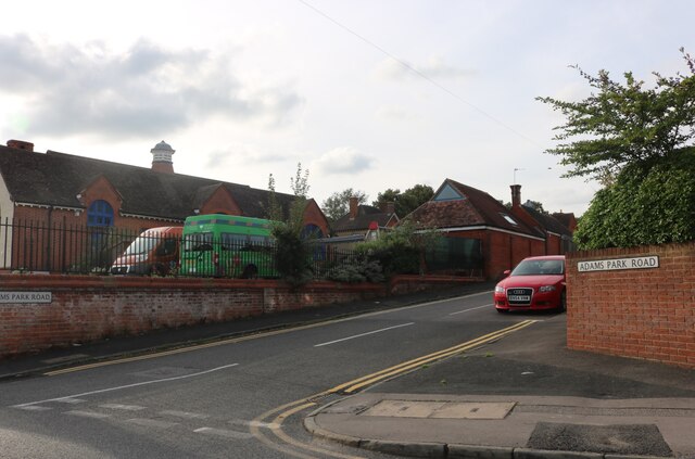
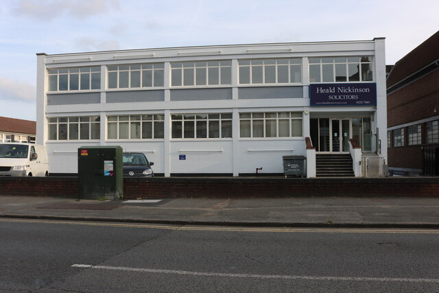
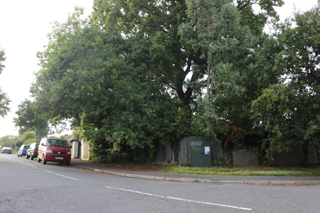
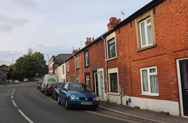
Hale, Upper Images
Images are sourced within 2km of 51.233826/-0.794511 or Grid Reference SU8448. Thanks to Geograph Open Source API. All images are credited.


Hale, Upper is located at Grid Ref: SU8448 (Lat: 51.233826, Lng: -0.794511)
Administrative County: Surrey
District: Waverley
Police Authority: Surrey
What 3 Words
///outlawing.hoofs.humans. Near Hale, Surrey
Nearby Locations
Related Wikis

Upper Hale Cemetery, Farnham
Upper Hale Cemetery (also known as Hale Cemetery) is the burial ground for the district of Hale in Farnham in Surrey. Hale grew rapidly after 1854 when...

Heath End, Surrey
Heath End is a village in the Waverley district of Surrey, England, traditionally part of the large town parish of Farnham. Heath End is smaller in area...
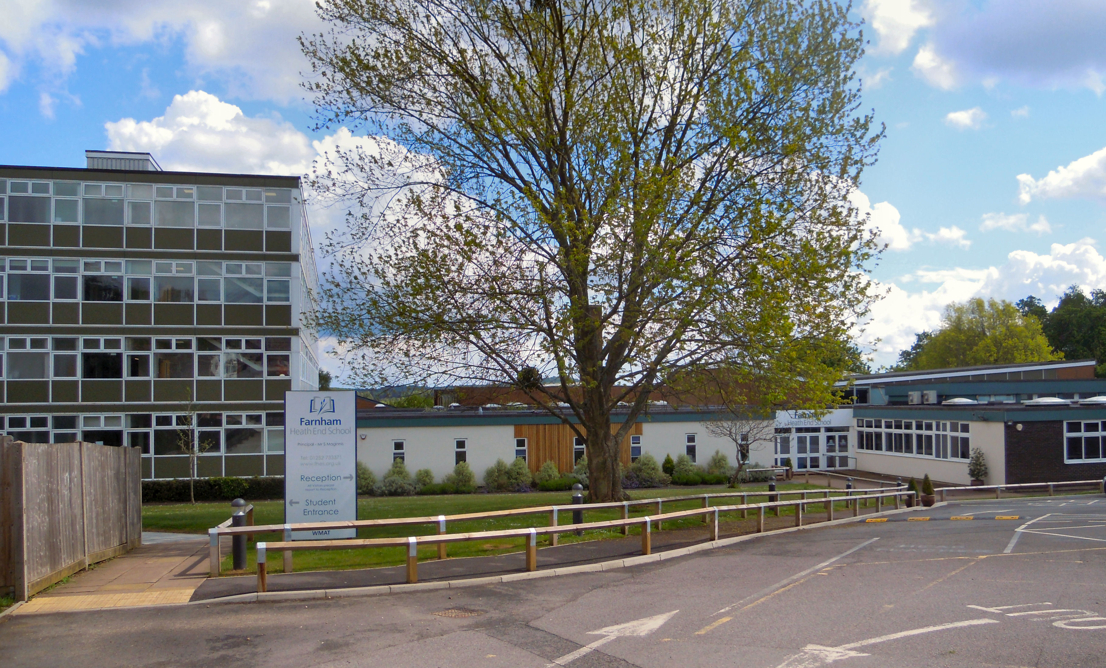
Farnham Heath End School
Farnham Heath End School is a mixed coeducational secondary school with academy status, in Heath End, Surrey, with roughly 900 pupils (987 as of 2021)...
Blackwater Valley Path
The Blackwater Valley Path follows the River Blackwater from its source in the Rowhill Nature Reserve in Aldershot to just beyond the point where it...

St John the Evangelist Church, Hale, Surrey
St John the Evangelist Church is a Church of England parish church in Hale, Surrey. Consecrated in 1844, the church is now a Grade II listed building....

Farnham Park
Farnham Park is a 131-hectare (320-acre) Local Nature Reserve in Farnham in Surrey. It is owned and managed by Waverley Borough Council.This medieval...
Hale, Surrey
Hale is a village in Surrey, England or part of Farnham, towards Aldershot excluding the area between the two to the east which is Badshot Lea, and without...
Weybourne, Surrey
Weybourne is a small village in Surrey, England. It lies on the outskirts of Farnham, Surrey and borders onto Aldershot, Hampshire. == Geography == Weybourne...
Nearby Amenities
Located within 500m of 51.233826,-0.794511Have you been to Hale, Upper?
Leave your review of Hale, Upper below (or comments, questions and feedback).