Godney, Upper

Settlement in Somerset Mendip

England

Godney, Upper

Levels near Godney A view from Westhay Moor Drive towards Lower Godney, with a rhyne in the foreground.
Levels near Godney Credit: Derek Harper

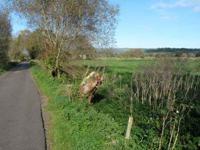
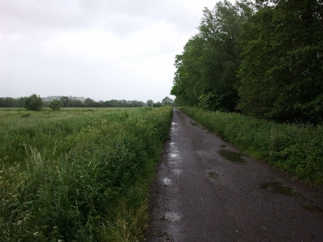
Godney is a small rural village located in the Upper region of Somerset, England. Situated on the banks of the River Sheppey, it lies approximately four miles southwest of the town of Wells. With a population of around 400 residents, Godney is known for its picturesque charm and tranquil ambiance.

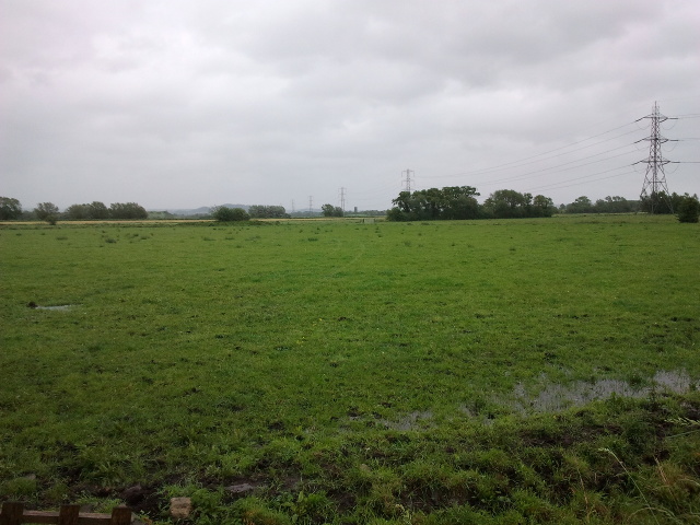
The village is characterized by its idyllic countryside setting, offering breathtaking views of rolling hills and lush green fields. Its close proximity to the river makes it a popular destination for nature enthusiasts and those seeking outdoor activities. The area is particularly renowned for its fishing and boating opportunities, attracting anglers and water sports enthusiasts alike.

One of the village's notable landmarks is the historic Church of St. Mary, which dates back to the 12th century. This beautiful church features stunning architectural details and serves as a focal point for both religious services and community events.

Despite its small size, Godney boasts a strong sense of community spirit. The village hosts various events throughout the year, including annual fairs, music festivals, and agricultural shows. These gatherings provide opportunities for locals and visitors to come together, fostering a sense of camaraderie and belonging.

Amenities in Godney are limited, with only a few small businesses and services available. However, the nearby town of Wells offers a wider range of amenities, including shops, restaurants, and schools.

Overall, Godney offers a tranquil escape from the bustling city life, providing a haven for those seeking a slower pace and a closer connection to nature.

If you have any feedback on the listing, please let us know in the comments section below.

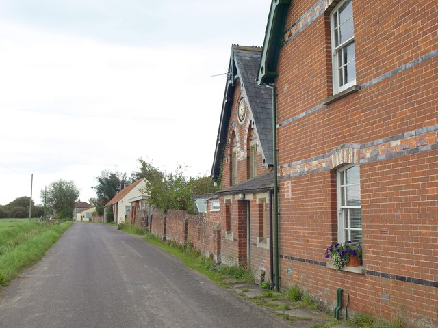
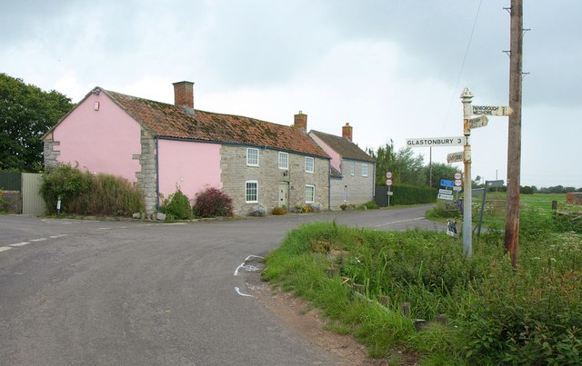
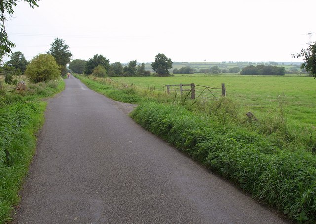
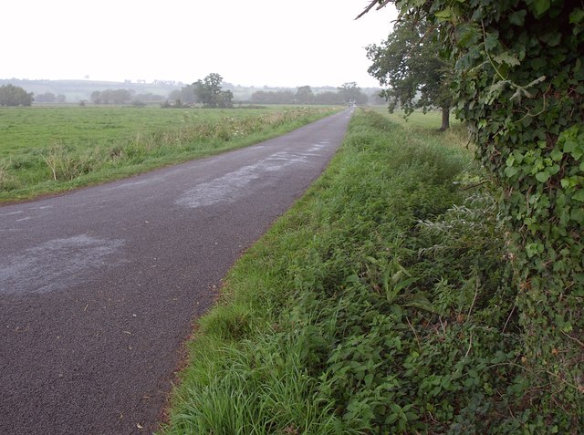
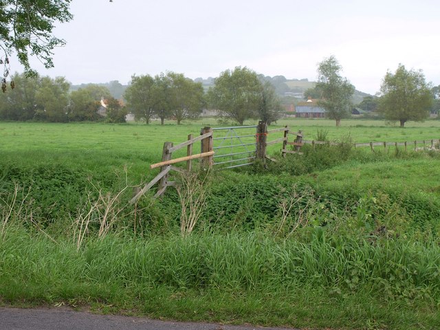
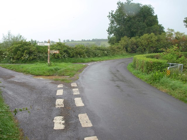
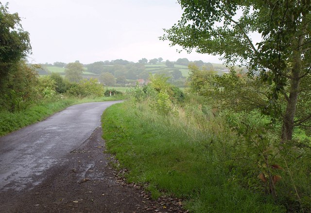
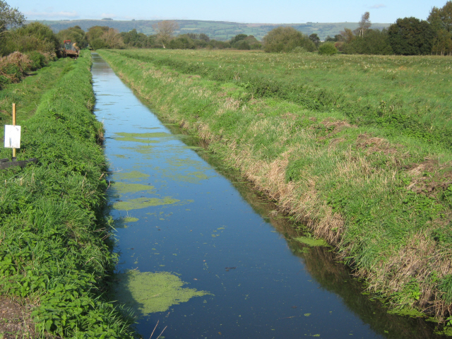
Godney, Upper Images

Images are sourced within 2km of 51.181982/-2.733784 or Grid Reference ST4842. Thanks to Geograph Open Source API. All images are credited.

Levels near Godney A view from Westhay Moor Drive towards Lower Godney, with a rhyne in the foreground.
Levels near Godney
A view from Westhay Moor Drive towards Lower Godney, with a rhyne in the foreground.
Crossroads near Lower Godney Westhay Moor Drove (foreground) meets Tilley's Drove and continues ahead as Tripps Drove.
Crossroads near Lower Godney
Westhay Moor Drove (foreground) meets Tilley's Drove and continues ahead as Tripps Drove.
Tilley's Drove Approaching Lower Godney, which is strung out between a road and the River Sheppey.
Tilley's Drove
Approaching Lower Godney, which is strung out between a road and the River Sheppey.
Sheppey Inn, Godney Would you believe it - the pub's shut on Monday lunchtime!
Sheppey Inn, Godney
Would you believe it - the pub's shut on Monday lunchtime!
River Sheppey East of Lower Godney, looking towards Godney Farm. In the distance on the right, Glastonbury Tor. It's very dark and starting to rain.
River Sheppey
East of Lower Godney, looking towards Godney Farm. In the distance on the right, Glastonbury Tor. It's very dark and starting to rain.
Former school, Upper Godney Some polychrome brickwork makes these Vicrotian buildings distinctive.
Former school, Upper Godney
Some polychrome brickwork makes these Vicrotian buildings distinctive.
Junction, Godney See also <a href="https://www.geograph.org.uk/photo/2065537">ST4942 : Lane junction at Godney</a>, with a different view of the junction.
Junction, Godney
See also ST4942 : Lane junction at Godney, with a different view of the junction.
Godney Drove Running across the levels between Godney and Bleadney, becoming Yeap's Drove further north. It's starting to rain heavily.
Godney Drove
Running across the levels between Godney and Bleadney, becoming Yeap's Drove further north. It's starting to rain heavily.
Hurn Drove The oak tree to the right of the camera provides welcome shelter while donning a raincoat as the heavens have opened. This is at the junction of Tripps, Yeap's, Godney and Hurn Droves.
Hurn Drove
The oak tree to the right of the camera provides welcome shelter while donning a raincoat as the heavens have opened. This is at the junction of Tripps, Yeap's, Godney and Hurn Droves.
Towards Shott's Farm A rainswept corner of the levels, seen from Hurn Drove.
Towards Shott's Farm
A rainswept corner of the levels, seen from Hurn Drove.
Junction of droves near Hurn Farm The unusually winding route of the lanes is determined by the circuitous course of the River Sheppey, just to the right. Left here is Leaze Drove; right is Ashmoor Drove. <a href="https://www.geograph.org.uk/photo/1863987">ST4944 : Turning for Bleadney</a> shows the junction from the opposite side. It's raining steadily, which explains the water on the lens in spite of best efforts to keep it dry.
Junction of droves near Hurn Farm
The unusually winding route of the lanes is determined by the circuitous course of the River Sheppey, just to the right. Left here is Leaze Drove; right is Ashmoor Drove. ST4944 : Turning for Bleadney shows the junction from the opposite side. It's raining steadily, which explains the water on the lens in spite of best efforts to keep it dry.
Ashmoor Drove A large tree offers a chance to dry the lens (see <a href="https://www.geograph.org.uk/photo/2589582">ST4944 : Junction of droves near Hurn Farm</a>) while the rain continues. Across the levels in Longstring Farm at the foot of Yarley Hill.
Ashmoor Drove
A large tree offers a chance to dry the lens (see ST4944 : Junction of droves near Hurn Farm) while the rain continues. Across the levels in Longstring Farm at the foot of Yarley Hill.
Drainage ditch, Westhay Moor The Mendip Hills in the distance
Drainage ditch, Westhay Moor
The Mendip Hills in the distance
Field gate on Westhay Moor Drove
Yeap's Drove, Westhay Moor
Church of the Holy Trinity Godney
Tripps Drove, looking east
View from Godney Drove, looking south east
Show me another place!

Godney, Upper is located at Grid Ref: ST4842 (Lat: 51.181982, Lng: -2.733784)

Administrative County: Somerset

District: Mendip

Police Authority: Avon and Somerset

What 3 Words

///voted.microfilm.firelight. Near Glastonbury, Somerset

Related Wikis

Holy Trinity Church, Godney

Holy Trinity Church is a former Church of England church in Godney, Somerset, England. Designed by George Phillips Manners, it was built in 1839–41 and...

Godney

Godney is a village and civil parish near Glastonbury on the River Sheppey on the Somerset Levels in the Mendip district of Somerset, England. == History... ==

Glastonbury Lake Village

Glastonbury Lake Village was an Iron Age village, situated on a crannog or man made island in the Somerset Levels, near Godney, some 3 miles (5 km) north...

Fenny Castle

Fenny Castle is the remains of a motte and bailey castle in the parish of Wookey, Somerset, England. It is a Scheduled Ancient Monument, but not accessible...

St Cuthbert Out

St Cuthbert Out, sometimes Wells St Cuthbert Out, is a civil parish in the Mendip district of Somerset, England. It entirely surrounds (but does not include...

Polsham railway station

Polsham was a railway station on the Somerset and Dorset Railway in the village of Polsham, Somerset in England. Opening in December 1861 on the Somerset...

The Abbot's Fish House, Meare

The Abbot's Fish House in Meare, Somerset, England, was built in the 14th century and has been designated as a Grade I listed building and Scheduled Ancient...

Glastonbury F.C.

Glastonbury F.C. is a football club based in Glastonbury, England. The club is affiliated to the Somerset County FA. The club are currently members of...

Nearby Amenities

Located within 500m of 51.181982,-2.733784
Godney
Place: village
Population: 237
Source: New Popular Edition
Lat/Long: 51.1788141/-2.7383604
Upper Godney
Place: hamlet
Source: npe
Lat/Long: 51.1831185/-2.733983
Power: pole
Source: bing
Lat/Long: 51.1818121/-2.7406356
Power: pole
Source: bing
Lat/Long: 51.1819508/-2.739552
Power: pole
Source: bing
Lat/Long: 51.1817768/-2.7369623
Power: pole
Source: bing
Lat/Long: 51.1807621/-2.7326801
Power: pole
Source: bing
Lat/Long: 51.1812329/-2.7346462
Power: pole
Source: bing
Lat/Long: 51.1814296/-2.7354804
Power: pole
Source: bing
Lat/Long: 51.182124/-2.735593
Power: pole
Source: bing
Transformer: distribution
Lat/Long: 51.1827965/-2.7357084
Power: pole
Source: bing
Lat/Long: 51.1821055/-2.7383785
Power: pole
Source: bing
Transformer: distribution
Lat/Long: 51.1799683/-2.7377756
Power: pole
Source: bing
Lat/Long: 51.181475/-2.7382055
Power: pole
Source: bing
Lat/Long: 51.1808546/-2.7380285
Power: pole
Source: bing
Transformer: distribution
Lat/Long: 51.1809891/-2.7303734
Power: pole
Source: bing
Lat/Long: 51.1802947/-2.7306014
Power: pole
Source: bing
Lat/Long: 51.1805906/-2.7318755
Power: pole
Source: bing
Lat/Long: 51.1799584/-2.7291369
The data included in this document is from www.openstreetmap.org. The data is made available under ODbL.

Have you been to Godney, Upper?

Leave your review of Godney, Upper below (or comments, questions and feedback).