Dowdeswell, Upper

Settlement in Gloucestershire Cotswold

England

Dowdeswell, Upper

Communication Mast, St Paul's Epistle Sited near the summit of St.Paul's Epistle this communications mast overlooks the A436 and much lower down in the valley the A40.
Communication Mast, St Paul's Epistle Credit: Terry Jacombs

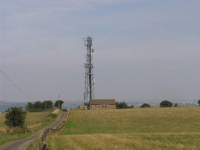
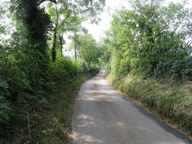
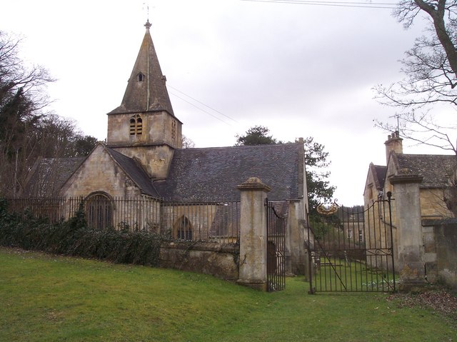
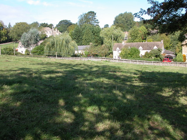
Dowdeswell is a small village located in the Upper region of Gloucestershire, England. Situated in the picturesque Cotswolds countryside, Dowdeswell is known for its scenic beauty and tranquil atmosphere. The village is nestled in a valley surrounded by rolling hills, providing stunning views and a sense of calmness for its residents and visitors alike.

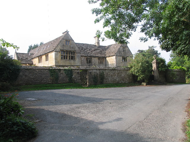
The history of Dowdeswell dates back centuries, with evidence of human habitation in the area since prehistoric times. The village itself has a charming mix of traditional Cotswold stone cottages and more modern buildings, creating a unique blend of old and new architecture.

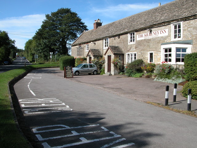
Despite its small size, Dowdeswell offers a range of amenities to cater to the needs of its residents. The village has a local pub, serving traditional English fare and ales, which acts as a social hub for the community. There is also a village hall that hosts various events and gatherings throughout the year.

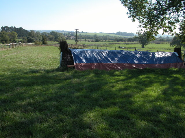
Nature enthusiasts will find plenty to explore in Dowdeswell and its surrounding area. The village is located near the popular Cotswold Way walking trail, which stretches over 100 miles and offers breathtaking views of the countryside. Additionally, Dowdeswell is in close proximity to several nature reserves and parks, providing opportunities for outdoor activities such as hiking, birdwatching, and picnicking.

Overall, Dowdeswell is a charming and idyllic village in Upper Gloucestershire, offering a peaceful retreat from the hustle and bustle of city life. With its natural beauty, rich history, and community spirit, it is a place that continues to captivate residents and visitors alike.

If you have any feedback on the listing, please let us know in the comments section below.

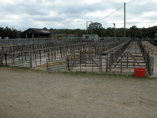
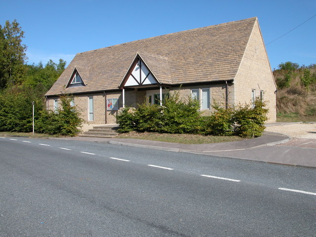
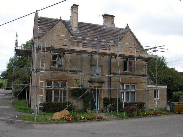
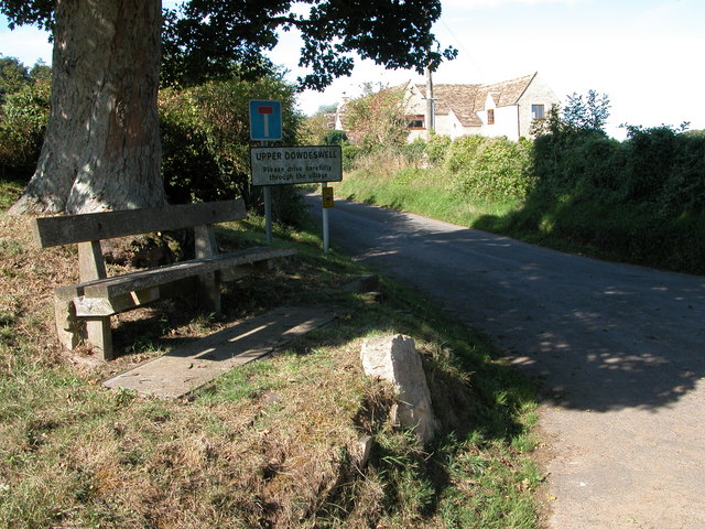
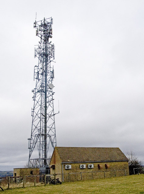
Dowdeswell, Upper Images

Images are sourced within 2km of 51.873714/-1.989335 or Grid Reference SP0019. Thanks to Geograph Open Source API. All images are credited.

Communication Mast, St Paul's Epistle Sited near the summit of St.Paul's Epistle this communications mast overlooks the A436 and much lower down in the valley the A40.
Communication Mast, St Paul's Epistle
Sited near the summit of St.Paul's Epistle this communications mast overlooks the A436 and much lower down in the valley the A40.
A436 at Kilkenny The A436 runs across this square east to west and carries a heavy volume of traffic heading for the M5 from the A40, avoiding Cheltenham, on a narrow A road.
A436 at Kilkenny
The A436 runs across this square east to west and carries a heavy volume of traffic heading for the M5 from the A40, avoiding Cheltenham, on a narrow A road.
The Manor House, Upper Dowdeswell Situated on a dead end lane off a quiet cross country lane, the hamlet of Upper Dowdeswell and its old manor house sees few visitors.
The Manor House, Upper Dowdeswell
Situated on a dead end lane off a quiet cross country lane, the hamlet of Upper Dowdeswell and its old manor house sees few visitors.
Public Water Tap, Upper Dowdeswell This water tap is housed in a purpose built alcove in the walls of the Manor House.
Public Water Tap, Upper Dowdeswell
This water tap is housed in a purpose built alcove in the walls of the Manor House.
Gloucestershire Way near St Paul's Epistle This lane which runs from Kilkenny to Hilcot forms part of the Gloucestershire Way for about a kilometre here.
Gloucestershire Way near St Paul's Epistle
This lane which runs from Kilkenny to Hilcot forms part of the Gloucestershire Way for about a kilometre here.
Dowdeswell Church Viewed from the north.
Dowdeswell Church
Viewed from the north.
Gallops at Sandywell Park Showground
The Kilkenny Inn, Kilkenny The inn is well situated at the junction of four roads.
The Kilkenny Inn, Kilkenny
The inn is well situated at the junction of four roads.
Foxcote Foxcote is a small village to the south-east of Kilkenny.
Foxcote
Foxcote is a small village to the south-east of Kilkenny.
Andoversford Livestock Market Once many market towns had livestock markets, though over the years many have been closed and the sites redeveloped, including the large regional market at Gloucester.
Andoversford Livestock Market
Once many market towns had livestock markets, though over the years many have been closed and the sites redeveloped, including the large regional market at Gloucester.
Church Hall, Andoversford Recently built Church Hall in the local Cotswold stone.
Church Hall, Andoversford
Recently built Church Hall in the local Cotswold stone.
Former police station, Andoversford Engraved over the door are the words 'COUNTY POLICE'
Former police station, Andoversford
Engraved over the door are the words 'COUNTY POLICE'
Upper Dowdeswell Seat under a tree at the road junction for Upper Dowdeswell.
Upper Dowdeswell
Seat under a tree at the road junction for Upper Dowdeswell.
Andoversford Relay Transmitter The transmitter and mast are operated by Arqiva, part of a multinational communications conglomerate with Australian roots, Macquaries.  The site was originally built for the Independent Broadcasting Authority and is an analogue TV relay station for Ridge Hill transmitter nr Much Marcle.
Andoversford Relay Transmitter
The transmitter and mast are operated by Arqiva, part of a multinational communications conglomerate with Australian roots, Macquaries. The site was originally built for the Independent Broadcasting Authority and is an analogue TV relay station for Ridge Hill transmitter nr Much Marcle.
Horse jumps at Sandywell Park The Cotswolds is racehorse training country.
Horse jumps at Sandywell Park
The Cotswolds is racehorse training country.
Snow landscape at sundown
Gloucestershire way towards Foxcote
Footpath towards A436
Show me another place!

Dowdeswell, Upper is located at Grid Ref: SP0019 (Lat: 51.873714, Lng: -1.989335)

Administrative County: Gloucestershire

District: Cotswold

Police Authority: Gloucestershire

What 3 Words

///exacts.blurs.raft. Near Charlton Kings, Gloucestershire

Related Wikis

Sandywell Park

Sandywell Park is an Jacobean Georgian manor house, five miles east of Cheltenham in Gloucestershire, England. Built in 1704 by Henry Brett, it was extended...

Andoversford Junction railway station

Andoversford Junction railway station was in Gloucestershire on the Great Western Railway's Banbury and Cheltenham Direct Railway that opened in 1881....

Dowdeswell

Dowdeswell is a civil parish in the ward of Chedworth, Cotswold, in the ceremonial county of Gloucestershire, England. It is separated into Upper and Lower...

Whittington Court

Whittington Court is an Elizabethan manor house, five miles east of Cheltenham in Gloucestershire, England. Adjacent to the house is the Whittington parish...

Whittington, Gloucestershire

Whittington, Gloucestershire is a village and rural parish in the county of Gloucestershire in England, United Kingdom. == Location == Whittington, Gloucestershire...

Andoversford and Dowdeswell railway station

Andoversford and Dowdeswell railway station was on the Midland and South Western Junction Railway in Gloucestershire. The station opened to passengers...

Dowdeswell Reservoir

Dowdeswell Reservoir and former water treatment works lie below the parish of Dowdeswell in Gloucestershire. They were originally built by Cheltenham...

Andoversford

Andoversford is a village and civil parish in the Cotswold District of Gloucestershire, England, about 5 miles (8 km) east of Cheltenham. The village is...

Nearby Amenities

Located within 500m of 51.873714,-1.989335
Source of the Chelt
Natural: spring
Lat/Long: 51.871816/-1.9935246
Bus Stop
Heylens Farm Turn
Bus: yes
Naptan AtcoCode: 1600GLC461
Naptan Bearing: S
Naptan CommonName: Heylens Farm Turn
Naptan NaptanCode: glodwmwp
Naptan Street: Kilkenny Ln
Naptan Verified: no
Public Transport: platform
Source: naptan_import
Lat/Long: 51.8719418/-1.9890626
Bus Stop
Heylens Farm Turn
Bus: yes
Naptan AtcoCode: 1600GLC462
Naptan Bearing: N
Naptan CommonName: Heylens Farm Turn
Naptan NaptanCode: glodwmwm
Naptan Street: Kilkenny Ln
Naptan Verified: no
Public Transport: platform
Source: naptan_import
Lat/Long: 51.8715552/-1.9889901
Bus Stop
Harvesters Barn
Bus: yes
Naptan AtcoCode: 1600GLC463
Naptan Bearing: E
Naptan CommonName: Harvesters Barn
Naptan Indicator: Opp
Naptan NaptanCode: glodwmwj
Naptan Street: Lower Dowdeswell Ln
Naptan Verified: no
Public Transport: platform
Source: naptan_import
Lat/Long: 51.87383/-1.989556
Bus Stop
Harvesters Barn
Bus: yes
Naptan AtcoCode: 1600GLC464
Naptan Bearing: W
Naptan CommonName: Harvesters Barn
Naptan NaptanCode: glodwmwg
Naptan Street: Lower Dowdeswell Ln
Naptan Verified: no
Public Transport: platform
Source: naptan_import
Lat/Long: 51.8738031/-1.989832
Upper Dowdeswell
Is In: Gloucestershire, England, UK
Place: hamlet
Website: https://www.dowdeswellvillage.co.uk/
Wikidata: Q22910040
Wikipedia: en:Dowdeswell
Lat/Long: 51.8715732/-1.9936817
Barrier: stile
Lat/Long: 51.8718144/-1.9889431
Barrier: stile
Lat/Long: 51.8724575/-1.9837072
Post Box
Collection Times: Mo-Fr 09:00; Sa 07:00
Operator: Royal Mail
Post Box Type: wall
Ref: GL54 94D
Royal Cypher: VR
Royal Cypher Wikidata: Q33102356
Source: survey
Lat/Long: 51.8717811/-1.9912722
Barrier: stile
Foot: yes
Lat/Long: 51.8725269/-1.9921672
Barrier: kissing_gate
Foot: yes
Lat/Long: 51.8735609/-1.9930956
Barrier: kissing_gate
Foot: yes
Lat/Long: 51.8742383/-1.994122
Barrier: kissing_gate
Foot: yes
Lat/Long: 51.8739464/-1.9892569
Barrier: stile
Foot: yes
Lat/Long: 51.8747864/-1.986505
Barrier: stile
Foot: yes
Lat/Long: 51.8765121/-1.98919
Barrier: stile
Foot: yes
Lat/Long: 51.8769169/-1.9859491
Barrier: kissing_gate
Foot: yes
Lat/Long: 51.8765206/-1.9893409
Defibrillator
Booth: K6
Covered: booth
Defibrillator Location: Inside old red phone box, Upper Dowdeswell.
Disused Amenity: telephone
Emergency: defibrillator
Man Made: telephone_box
Source: survey
Lat/Long: 51.8716824/-1.9907945
HE Ref: 1155210
Description: SURROUND TO VILLAGE WATER SUPPLY
Historic: yes
Listed Status: Grade II
Lat/Long: 51.8716754/-1.9920339
HE Ref: 1089358
Description: GATES, GATE PIERS AND RAILINGS
Historic: yes
Listed Status: Grade II
Lat/Long: 51.8738561/-1.9907859
The data included in this document is from www.openstreetmap.org. The data is made available under ODbL.

Have you been to Dowdeswell, Upper?

Leave your review of Dowdeswell, Upper below (or comments, questions and feedback).