Ditchford, Upper

Settlement in Gloucestershire Cotswold

England

Ditchford, Upper

Long lay-by on the A429
Long lay-by on the A429 Credit: Philip Jeffrey

Ditchford is a small village located in the county of Gloucestershire, England. It is situated in the Upper Gloucestershire region, which is known for its picturesque countryside and charming rural communities. Ditchford itself is nestled in a valley surrounded by rolling hills and lush green fields, offering residents and visitors a tranquil and idyllic setting.

The village of Ditchford has a long history, with evidence of settlement dating back to the Roman era. Throughout the centuries, it has remained a small and close-knit community, with a population of around 200 residents. The village is characterized by its quaint cottages and traditional stone-built houses, reflecting its rural heritage.

Ditchford is renowned for its natural beauty, offering numerous opportunities for outdoor activities and exploration. The surrounding countryside provides ample space for hiking, cycling, and horse riding, with several scenic trails and bridleways passing through the area. The nearby River Avon also offers opportunities for fishing and boating.

The village has limited amenities, with a small local shop and a pub serving as the primary gathering places for residents. However, more extensive amenities can be found in the nearby town of Tewkesbury, which is approximately 5 miles away.

Overall, Ditchford is a charming and peaceful village, perfect for those seeking a rural retreat in the heart of the Upper Gloucestershire countryside. Its natural beauty, historical significance, and close-knit community make it a desirable place to live or visit for those seeking a slower pace of life.

If you have any feedback on the listing, please let us know in the comments section below.

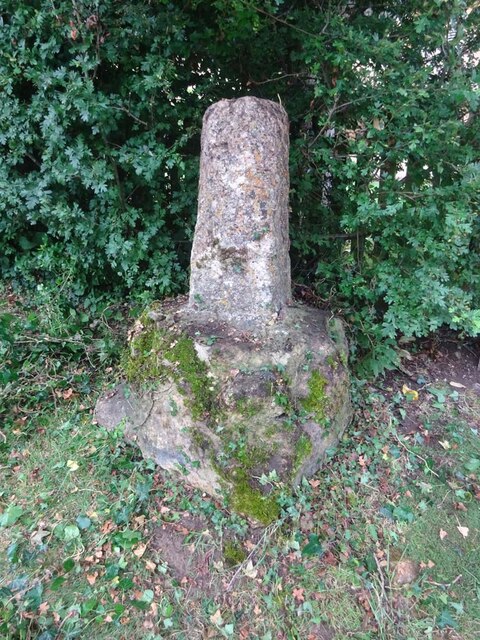
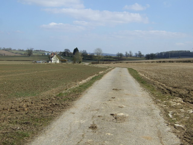
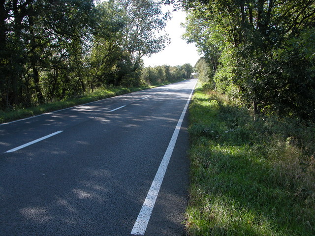
Ditchford, Upper Images

Images are sourced within 2km of 52.0288/-1.7076 or Grid Reference SP1936. Thanks to Geograph Open Source API. All images are credited.

Long lay-by on the A429
Footpath to Oldborough Farm and Todenham
Footpath to Aston Magna
Trees by the stream
Trees by the stream
Rickety footbridge on the footpath towards the A429
Power lines over the stubble field
Lane towards Knee Bridge One of the few public roads I have come across that Google Streetview hasn't reached
Lane towards Knee Bridge
One of the few public roads I have come across that Google Streetview hasn't reached
Public footpath to Todenham
Track through the copse to Kneebridge barn The area behind the locked gate looked pretty derelict.
Track through the copse to Kneebridge barn
The area behind the locked gate looked pretty derelict.
Trees lining Knee Brook
Wayside Cross, Aston Magna, Blockley 15ᵗʰ C shaft and base with shaped stops on octagonal plinth. 
These crosses were placed for pilgrims to stop and pray for a safe journey, probably en route to Oxford.

Grade II listed Nᴼ 1088642 <span class="nowrap"><a title="https://historicengland.org.uk/listing/the-list/list-entry/1088642" rel="nofollow ugc noopener" href="https://historicengland.org.uk/listing/the-list/list-entry/1088642">Link</a><img style="margin-left:2px;" alt="External link" title="External link - shift click to open in new window" src="https://s1.geograph.org.uk/img/external.png" width="10" height="10"/></span>

Milestone Society National ID: GLCO_BLO
Wayside Cross, Aston Magna, Blockley
15ᵗʰ C shaft and base with shaped stops on octagonal plinth. These crosses were placed for pilgrims to stop and pray for a safe journey, probably en route to Oxford. Grade II listed Nᴼ 1088642 LinkExternal link Milestone Society National ID: GLCO_BLO
Countryside at Knee Bridge Knee Bridge is where the Fosse Way crosses the Knee Brook which is hidden in the line of trees in the middle of the image.
Countryside at Knee Bridge
Knee Bridge is where the Fosse Way crosses the Knee Brook which is hidden in the line of trees in the middle of the image.
Fosse Way At this point the original line of the Roman road runs across the fields towards the right from the tree. The hedge marks the line of the present Fosse Way the A429.
Fosse Way
At this point the original line of the Roman road runs across the fields towards the right from the tree. The hedge marks the line of the present Fosse Way the A429.
Farmland, Oldborough Farm
Track to Oldborough Farm
A twisty A429 heading north  Towards Warwick.
A twisty A429 heading north
Towards Warwick.
Farmland near Knee Bridge
Minor road heading west Towards Aston Magna.
Minor road heading west
Towards Aston Magna.
Show me another place!

Ditchford, Upper is located at Grid Ref: SP1936 (Lat: 52.0288, Lng: -1.7076)

Administrative County: Gloucestershire

District: Cotswold

Police Authority: Gloucestershire

What 3 Words

///rely.drummers.flashback. Near Blockley, Gloucestershire

Related Wikis

Upper Ditchford

Upper Ditchford is an abandoned village to the west of the Fosse Way between Moreton-in-Marsh and Stretton on Fosse, now in the county of Gloucestershire...

Aston Magna

Aston Magna is a hamlet located off Fosse Way in north Gloucestershire, England, between Moreton-in-Marsh and Shipston-on-Stour. It forms part of the...

A429 road

The A429 is a main road in England that runs in a north-northeasterly direction from junction 17 of the M4 motorway (4 miles (6.4 km) north of Chippenham...

Blockley railway station

Blockley railway station served the village of Blockley, Gloucestershire, England from 1853 to 1966 on the Oxford, Worcester and Wolverhampton Railway...

Nearby Amenities

Located within 500m of 52.0288,-1.7076
Material: wood
Power: pole
Lat/Long: 52.0282563/-1.7011864
Material: wood
Power: pole
Lat/Long: 52.0281115/-1.7021754
Power: pole
Lat/Long: 52.0279618/-1.7031444
Power: pole
Lat/Long: 52.0278368/-1.7040436
Power: pole
Lat/Long: 52.0276684/-1.705209
Neigh Brook
Power: pole
Transformer: distribution
Voltage Primary: 11000
Lat/Long: 52.0275137/-1.7062772
Power: pole
Lat/Long: 52.0269658/-1.7068465
Power: pole
Lat/Long: 52.0263279/-1.7074111
Power: pole
Lat/Long: 52.025662/-1.7079911
Power: pole
Lat/Long: 52.0250836/-1.7085014
Power: pole
Lat/Long: 52.0245076/-1.7089594
The data included in this document is from www.openstreetmap.org. The data is made available under ODbL.

Have you been to Ditchford, Upper?

Leave your review of Ditchford, Upper below (or comments, questions and feedback).