Croxley, Upper

Settlement in Somerset Mendip

England

Croxley, Upper

Lane and warning sign
Lane and warning sign Credit: Rob Purvis

Croxley, Upper, Somerset is a small village located in the southwestern part of England. Situated in the county of Somerset, it is nestled amidst the picturesque countryside and rolling hills, offering residents and visitors a tranquil and idyllic setting.

The village of Croxley, Upper is home to a close-knit community, with a population of approximately 500 residents. The village is known for its charming and well-preserved architecture, with many buildings dating back several centuries. The local parish church, St. Mary's, is a prominent landmark, showcasing stunning medieval features.

Despite its small size, Croxley, Upper boasts a range of amenities to cater to the needs of its residents. The village has a primary school, a village hall which serves as a hub for community events, and a local shop providing essential goods. The nearby town of Somerset is easily accessible, offering a wider range of services and facilities.

The surrounding countryside provides ample opportunities for outdoor activities, with numerous walking and cycling trails winding through the scenic landscape. The village is also in close proximity to several nature reserves and parks, allowing residents to enjoy the beauty of the natural surroundings.

Overall, Croxley, Upper, Somerset offers a charming and peaceful place to live or visit, with its rich history, beautiful surroundings, and strong sense of community.

If you have any feedback on the listing, please let us know in the comments section below.

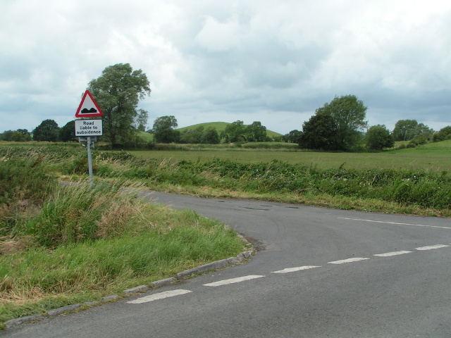
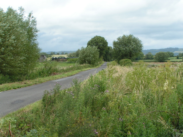
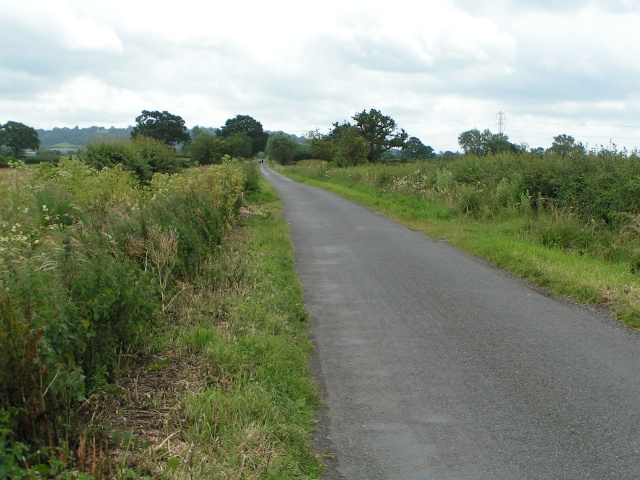
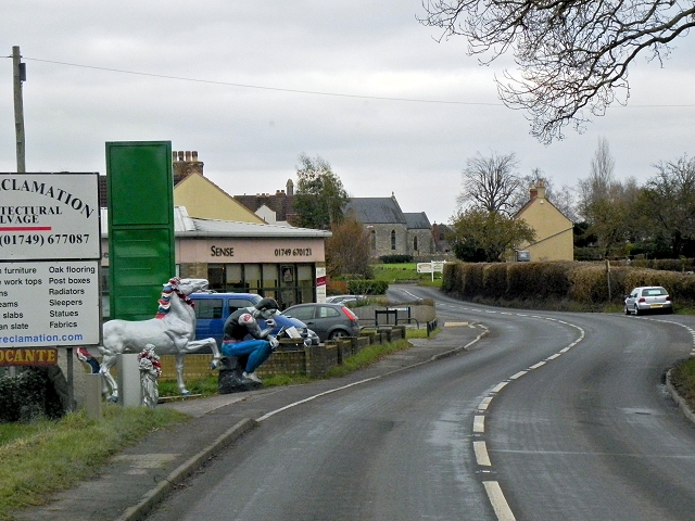
Croxley, Upper Images

Images are sourced within 2km of 51.184285/-2.6738375 or Grid Reference ST5343. Thanks to Geograph Open Source API. All images are credited.

Lane and warning sign
Wild flowers and trees in the wind
Walkers in the distance
The creeper is winning! The inn is the "Camelot Inn", but the creeper is hiding some of the letters
The creeper is winning!
The inn is the "Camelot Inn", but the creeper is hiding some of the letters
Here be giants ...! At the western end of Coxley, the bull, statue of "The Thinker" and the horse advertise an architectural reclamation yard to the north of the filling station
Here be giants ...!
At the western end of Coxley, the bull, statue of "The Thinker" and the horse advertise an architectural reclamation yard to the north of the filling station
The Pound Inn, Coxley
Footpath near Woodford Bridge The kissing gate leads to a fence; the footpath leads beside the field of maize
Footpath near Woodford Bridge
The kissing gate leads to a fence; the footpath leads beside the field of maize
Maize field and solitary tree near Woodford Bridge
Land for sale, on Queen's Sedge Moor, on the south side of Long Drove
Mendip : Glastonbury Tor & Countryside Looking towards Glastonbury Tor and surrounding countryside from Wells Road A39.
Mendip : Glastonbury Tor & Countryside
Looking towards Glastonbury Tor and surrounding countryside from Wells Road A39.
Polsham, Wells Road (A39) The A39 is one of the longest routes in South West England. It stretches from Bath in Somerset to Falmouth in Cornwall passing some famous historical places including Wells and Glastonbury and touring along the Somerset, Devon and Cornish Coasts, before skirting to the north of Bodmin Moor and crossing the county to the historic port of Falmouth on the southern shore. The section running between the North Devon Link Road at Barnstaple in Devon and the A30 at Fraddon in Cornwall is known as the Atlantic Highway, and was classified as a trunk road until 2002.
Polsham, Wells Road (A39)
The A39 is one of the longest routes in South West England. It stretches from Bath in Somerset to Falmouth in Cornwall passing some famous historical places including Wells and Glastonbury and touring along the Somerset, Devon and Cornish Coasts, before skirting to the north of Bodmin Moor and crossing the county to the historic port of Falmouth on the southern shore. The section running between the North Devon Link Road at Barnstaple in Devon and the A30 at Fraddon in Cornwall is known as the Atlantic Highway, and was classified as a trunk road until 2002.
A39, Camelot Inn The A39 is one of the longest routes in South West England. It stretches from Bath in Somerset to Falmouth in Cornwall passing some famous historical places including Wells and Glastonbury and touring along the Somerset, Devon and Cornish Coasts, before skirting to the north of Bodmin Moor and crossing the county to the historic port of Falmouth on the southern shore. The section running between the North Devon Link Road at Barnstaple in Devon and the A30 at Fraddon in Cornwall is known as the Atlantic Highway, and was classified as a trunk road until 2002.
A39, Camelot Inn
The A39 is one of the longest routes in South West England. It stretches from Bath in Somerset to Falmouth in Cornwall passing some famous historical places including Wells and Glastonbury and touring along the Somerset, Devon and Cornish Coasts, before skirting to the north of Bodmin Moor and crossing the county to the historic port of Falmouth on the southern shore. The section running between the North Devon Link Road at Barnstaple in Devon and the A30 at Fraddon in Cornwall is known as the Atlantic Highway, and was classified as a trunk road until 2002.
A39 (Wells Road) passing Southway Farm The A39 is one of the longest routes in South West England. It stretches from Bath in Somerset to Falmouth in Cornwall passing some famous historical places including Wells and Glastonbury and touring along the Somerset, Devon and Cornish Coasts, before skirting to the north of Bodmin Moor and crossing the county to the historic port of Falmouth on the southern shore. The section running between the North Devon Link Road at Barnstaple in Devon and the A30 at Fraddon in Cornwall is known as the Atlantic Highway, and was classified as a trunk road until 2002.
A39 (Wells Road) passing Southway Farm
The A39 is one of the longest routes in South West England. It stretches from Bath in Somerset to Falmouth in Cornwall passing some famous historical places including Wells and Glastonbury and touring along the Somerset, Devon and Cornish Coasts, before skirting to the north of Bodmin Moor and crossing the county to the historic port of Falmouth on the southern shore. The section running between the North Devon Link Road at Barnstaple in Devon and the A30 at Fraddon in Cornwall is known as the Atlantic Highway, and was classified as a trunk road until 2002.
A39, Wells Road, Coxley The A39 is one of the longest routes in South West England. It stretches from Bath in Somerset to Falmouth in Cornwall passing some famous historical places including Wells and Glastonbury and touring along the Somerset, Devon and Cornish Coasts, before skirting to the north of Bodmin Moor and crossing the county to the historic port of Falmouth on the southern shore. The section running between the North Devon Link Road at Barnstaple in Devon and the A30 at Fraddon in Cornwall is known as the Atlantic Highway, and was classified as a trunk road until 2002.
A39, Wells Road, Coxley
The A39 is one of the longest routes in South West England. It stretches from Bath in Somerset to Falmouth in Cornwall passing some famous historical places including Wells and Glastonbury and touring along the Somerset, Devon and Cornish Coasts, before skirting to the north of Bodmin Moor and crossing the county to the historic port of Falmouth on the southern shore. The section running between the North Devon Link Road at Barnstaple in Devon and the A30 at Fraddon in Cornwall is known as the Atlantic Highway, and was classified as a trunk road until 2002.
Coxley, Main Road (A39) and Christ Church Christ Church at Coxley is a Commissioners' Church <span class="nowrap"><a title="http://en.wikipedia.org/wiki/Commissioners%27_church" rel="nofollow ugc noopener" href="http://en.wikipedia.org/wiki/Commissioners%27_church">Link</a><img style="margin-left:2px;" alt="External link" title="External link - shift click to open in new window" src="https://s1.geograph.org.uk/img/external.png" width="10" height="10"/></span>  built 1838-9 in the Gothic Revival style. It is a Grade II listed building (English Heritage ID:268127 <span class="nowrap"><a title="http://www.britishlistedbuildings.co.uk/en-268127-christ-church-st-cuthbert-out-somerset" rel="nofollow ugc noopener" href="http://www.britishlistedbuildings.co.uk/en-268127-christ-church-st-cuthbert-out-somerset">Link</a><img style="margin-left:2px;" alt="External link" title="External link - shift click to open in new window" src="https://s1.geograph.org.uk/img/external.png" width="10" height="10"/></span>  British Listed Buildings)
Coxley, Main Road (A39) and Christ Church
Christ Church at Coxley is a Commissioners' Church LinkExternal link built 1838-9 in the Gothic Revival style. It is a Grade II listed building (English Heritage ID:268127 LinkExternal link British Listed Buildings)
Christ Church, Coxley Christ Church at Coxley is a Commissioners' Church <span class="nowrap"><a title="http://en.wikipedia.org/wiki/Commissioners%27_church" rel="nofollow ugc noopener" href="http://en.wikipedia.org/wiki/Commissioners%27_church">Link</a><img style="margin-left:2px;" alt="External link" title="External link - shift click to open in new window" src="https://s1.geograph.org.uk/img/external.png" width="10" height="10"/></span>  built 1838-9 in the Gothic Revival style. It is a Grade II listed building (English Heritage ID:268127 <span class="nowrap"><a title="http://www.britishlistedbuildings.co.uk/en-268127-christ-church-st-cuthbert-out-somerset" rel="nofollow ugc noopener" href="http://www.britishlistedbuildings.co.uk/en-268127-christ-church-st-cuthbert-out-somerset">Link</a><img style="margin-left:2px;" alt="External link" title="External link - shift click to open in new window" src="https://s1.geograph.org.uk/img/external.png" width="10" height="10"/></span>  British Listed Buildings)
Christ Church, Coxley
Christ Church at Coxley is a Commissioners' Church LinkExternal link built 1838-9 in the Gothic Revival style. It is a Grade II listed building (English Heritage ID:268127 LinkExternal link British Listed Buildings)
Coxley Main Road (A39) The A39 is one of the longest routes in South West England. It stretches from Bath in Somerset to Falmouth in Cornwall passing some famous historical places including Wells and Glastonbury and touring along the Somerset, Devon and Cornish Coasts, before skirting to the north of Bodmin Moor and crossing the county to the historic port of Falmouth on the southern shore. The section running between the North Devon Link Road at Barnstaple in Devon and the A30 at Fraddon in Cornwall is known as the Atlantic Highway, and was classified as a trunk road until 2002.
Coxley Main Road (A39)
The A39 is one of the longest routes in South West England. It stretches from Bath in Somerset to Falmouth in Cornwall passing some famous historical places including Wells and Glastonbury and touring along the Somerset, Devon and Cornish Coasts, before skirting to the north of Bodmin Moor and crossing the county to the historic port of Falmouth on the southern shore. The section running between the North Devon Link Road at Barnstaple in Devon and the A30 at Fraddon in Cornwall is known as the Atlantic Highway, and was classified as a trunk road until 2002.
Coxley Main Road, The Pound Inn The A39 is one of the longest routes in South West England. It stretches from Bath in Somerset to Falmouth in Cornwall passing some famous historical places including Wells and Glastonbury and touring along the Somerset, Devon and Cornish Coasts, before skirting to the north of Bodmin Moor and crossing the county to the historic port of Falmouth on the southern shore. The section running between the North Devon Link Road at Barnstaple in Devon and the A30 at Fraddon in Cornwall is known as the Atlantic Highway, and was classified as a trunk road until 2002.
Coxley Main Road, The Pound Inn
The A39 is one of the longest routes in South West England. It stretches from Bath in Somerset to Falmouth in Cornwall passing some famous historical places including Wells and Glastonbury and touring along the Somerset, Devon and Cornish Coasts, before skirting to the north of Bodmin Moor and crossing the county to the historic port of Falmouth on the southern shore. The section running between the North Devon Link Road at Barnstaple in Devon and the A30 at Fraddon in Cornwall is known as the Atlantic Highway, and was classified as a trunk road until 2002.
Show me another place!

Croxley, Upper is located at Grid Ref: ST5343 (Lat: 51.184285, Lng: -2.6738375)

Administrative County: Somerset

District: Mendip

Police Authority: Avon and Somerset

What 3 Words

///commented.pointed.regret. Near Wells, Somerset

Related Wikis

Christ Church, Coxley

Christ Church is a Church of England church in Coxley, Somerset, England. It was built in 1839–40 to the designs of Richard Carver and is a Grade II listed...

Polsham railway station

Polsham was a railway station on the Somerset and Dorset Railway in the village of Polsham, Somerset in England. Opening in December 1861 on the Somerset...

St Cuthbert Out

St Cuthbert Out, sometimes Wells St Cuthbert Out, is a civil parish in the Mendip district of Somerset, England. It entirely surrounds (but does not include...

Fenny Castle

Fenny Castle is the remains of a motte and bailey castle in the parish of Wookey, Somerset, England. It is a Scheduled Ancient Monument, but not accessible...

Wells East Somerset railway station

Wells station in the Somerset city of Wells was the terminus of the East Somerset Railway line from Witham and opened when the line was extended from Shepton...

Rowdens Road Cricket Ground, Wells

Rowdens Road is a former first-class cricket ground located in Wells, Somerset. The ground was an early home to Wells Cricket Club, though the club no...

Wells City F.C.

Wells City F.C. are a football club based in Wells, Somerset, England. The club is affiliated to the Somerset County FA. They are currently members of...

Ben Knowle

Ben Knowle (grid reference ST513450) is a 1.5 hectare geological Site of Special Scientific Interest in Somerset, notified in 1984. Ben Knowle is a natural...

Nearby Amenities

Located within 500m of 51.184285,-2.6738375
Coxley
Place: village
Source: OS OpenData StreetView
Lat/Long: 51.1877449/-2.6766624
Colour: grey
Design: three-level
Height: 4.93
Line Attachment: suspension
Material: metal
Operator: National Grid
Operator Wikidata: Q1465461
Power: tower
Ref: ZG097
Source: Bing
Start Date: 1960
Structure: lattice
Lat/Long: 51.1807722/-2.6763939
The data included in this document is from www.openstreetmap.org. The data is made available under ODbL.

Have you been to Croxley, Upper?

Leave your review of Croxley, Upper below (or comments, questions and feedback).