Cotton, Upper
Settlement in Staffordshire Staffordshire Moorlands
England
Cotton, Upper
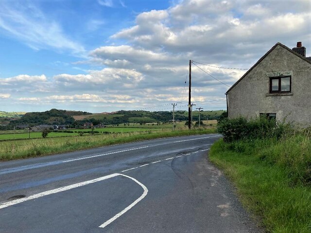
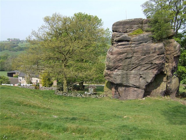
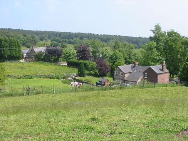
Cotton is a small village located in the county of Staffordshire, England. Situated in the Upper division of the county, it is nestled within the scenic countryside, offering a picturesque setting for its residents and visitors. The village is part of the Staffordshire Moorlands district and is surrounded by rolling hills and lush green fields.
Cotton is known for its rich history, dating back to medieval times. The village is home to several historic buildings and landmarks, including St. John the Baptist Church, a Grade II listed building that dates back to the 12th century. The church's impressive architecture and beautiful stained glass windows make it a popular attraction for history enthusiasts.
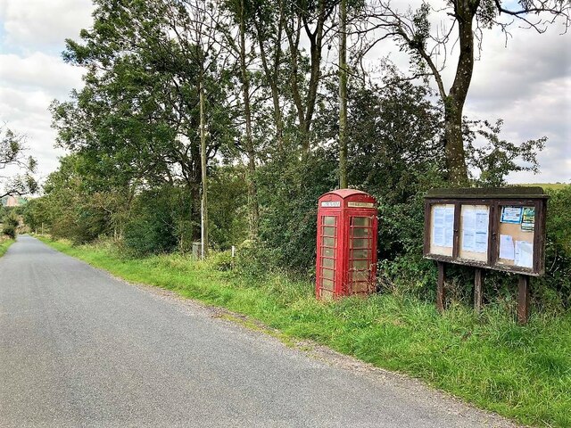
The community in Cotton is tight-knit and friendly, with a population of around 500 people. The village offers a peaceful and tranquil environment, making it an ideal place for those seeking a relaxed lifestyle away from the hustle and bustle of city living.
Despite its small size, Cotton has a range of amenities to cater to its residents. There is a local pub, The Cotton Arms, which serves traditional British fare and acts as a social hub for the community. Additionally, the village has a primary school, providing education for the local children.
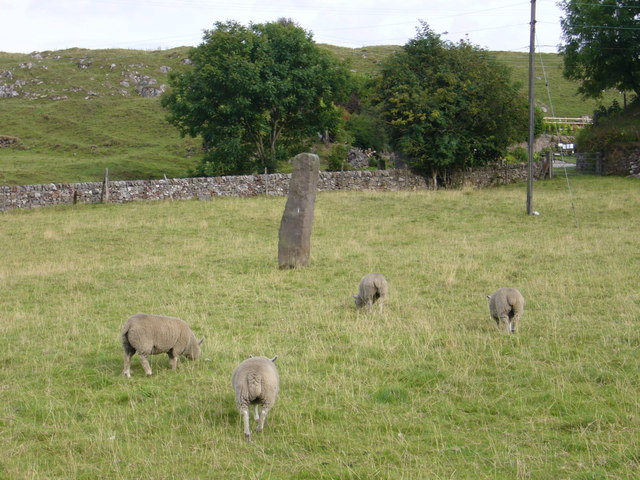
For those looking to explore the surrounding area, Cotton offers easy access to the nearby attractions of the Staffordshire Moorlands. The beautiful Peak District National Park is just a short drive away, offering opportunities for outdoor activities such as hiking, cycling, and wildlife spotting.
In conclusion, Cotton, Upper, Staffordshire is a charming village with a rich history and a welcoming community. Its peaceful setting and proximity to nature make it an attractive destination for both residents and visitors alike.
If you have any feedback on the listing, please let us know in the comments section below.
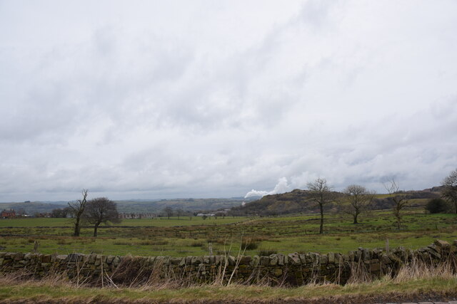
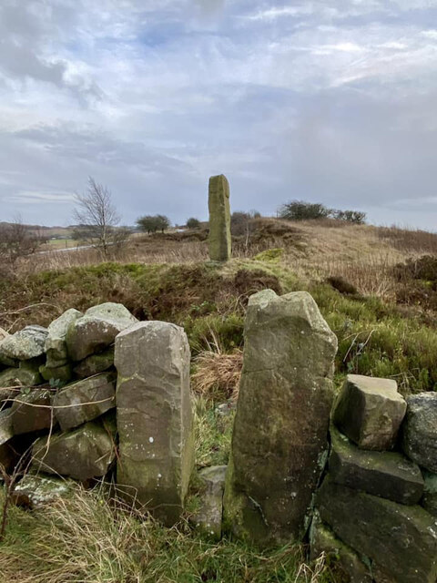
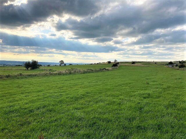
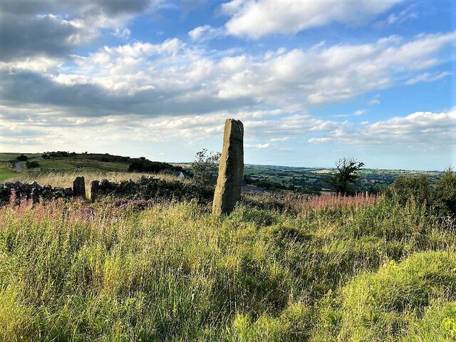
Cotton, Upper Images
Images are sourced within 2km of 53.028271/-1.92121 or Grid Reference SK0547. Thanks to Geograph Open Source API. All images are credited.


Cotton, Upper is located at Grid Ref: SK0547 (Lat: 53.028271, Lng: -1.92121)
Administrative County: Staffordshire
District: Staffordshire Moorlands
Police Authority: Staffordshire
What 3 Words
///reframe.steered.simulator. Near Cheadle, Staffordshire
Nearby Locations
Related Wikis

Broomyshaw
Broomyshaw is a village in Staffordshire, England. Population details for the 2011 census can be found under Waterhouses, Staffordshire
Whiston, Staffordshire Moorlands
Whiston is a village in the Staffordshire Moorlands district of Staffordshire, England. Population details as taken at the 2011 census can be found under...

Cotton College
Cotton College was a Roman Catholic boarding school in Cotton, Staffordshire, United Kingdom. It was also known as Saint Wilfrid's College. The school...
Cotton Dell
Cotton Dell is a nature reserve of the Staffordshire Wildlife Trust. It is a wooded valley area near the village of Cotton and about 0.5 miles (0.8 km...

Harston Wood
Harston Wood is a nature reserve of the Staffordshire Wildlife Trust. It is an ancient woodland, adjacent to the village of Froghall, near Cheadle, Staffordshire...

Cotton, Staffordshire
Cotton is a village and civil parish in Staffordshire, England. It is about 5 miles (8.0 km) north-east of Cheadle. Cotton Hall, originally built in the...
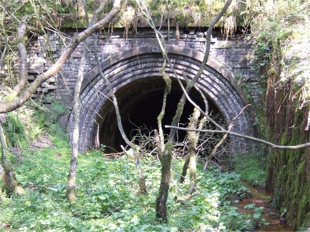
Caldon Low Halt railway station
Caldon Low Halt railway station was a railway station near the hamlet of Cauldon, Staffordshire. It was opened by the North Staffordshire Railway (NSR...

Uttoxeter Canal
The Uttoxeter Canal was a thirteen-mile extension of the Caldon Canal running from Froghall as far as Uttoxeter in Staffordshire, England. It was authorised...
Related Videos
Wild camp walk about
Up near the cut. Wild camp. Frogh.
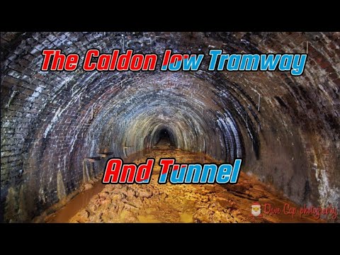
The amazing Tramways and Tunnel of Caldon Low #industrialheritageofabygoneera
Hello, Eh up and how ya Didlin! In this Christmas day special, we head to Staffordshire to look at The amazing Tramways and ...
pike low camping
pike low farm camp site weather.
Nearby Amenities
Located within 500m of 53.028271,-1.92121Have you been to Cotton, Upper?
Leave your review of Cotton, Upper below (or comments, questions and feedback).